Originally posted by elbeau
| Quote: | Originally posted by mcfez
I dont understand....exactly why the pictures are not up? |
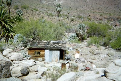
Because I don't want somebody finding out where the site is before it is verified and the authorities are contacted.
It's not like it's some secret spy op. If you're antsy to see what's there, just think what it's been like for me sitting here 26 hrs away calling
Archaeology professors and news agencies and not even finding anybody interested in looking at the images.
At least you guys care enough to want to see if I'm crazy, or blind, or right, or whatever, and I do appreciate that...but seriously, archaeological
sites should be taken care of, and I'd feel irresponsible if my post led somebody else to loot the site, if it's even really there and not a trick of
the eye or something.
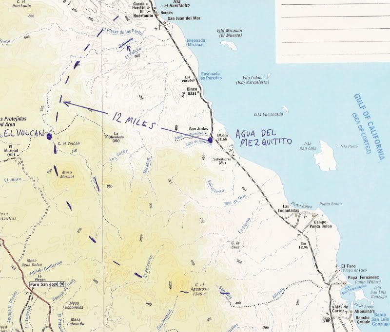
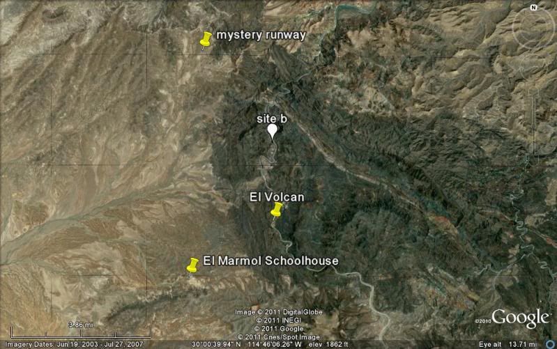
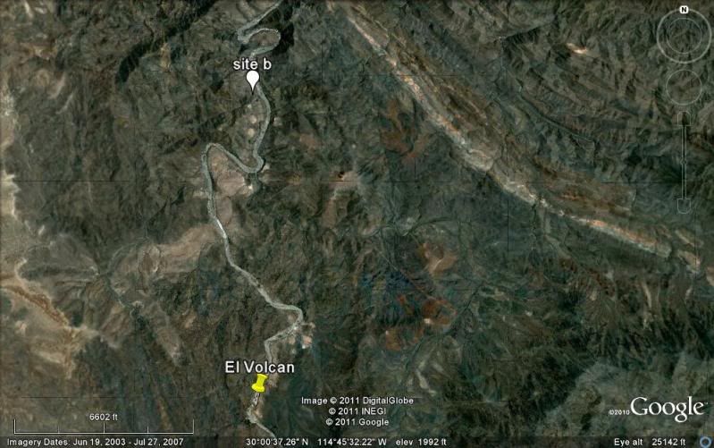
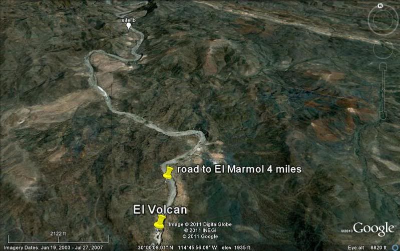
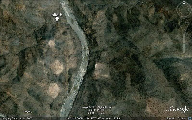
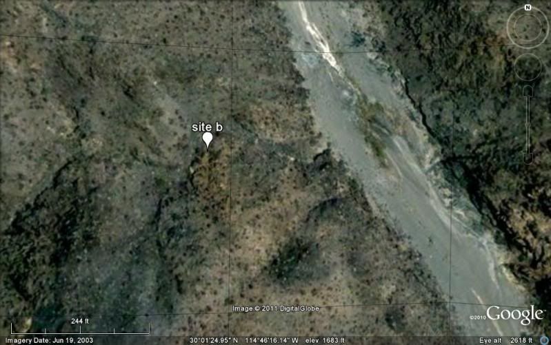
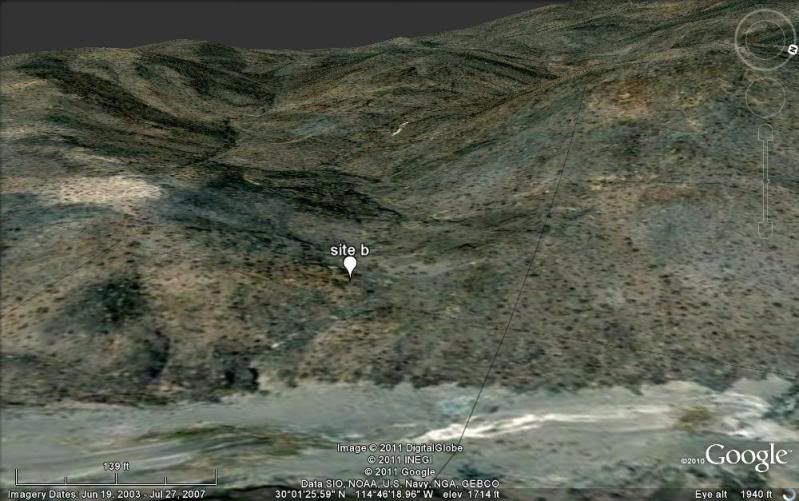
Please, be patient, or try and talk David into showing you. It's not like I'm the only one with the coordinates anymore.
BTW, I haven't heard from David since I sent him the KML file...anybody know if he got it? |

 ...
...