Originally posted by Ken Cooke
| Quote: | Originally posted by David K
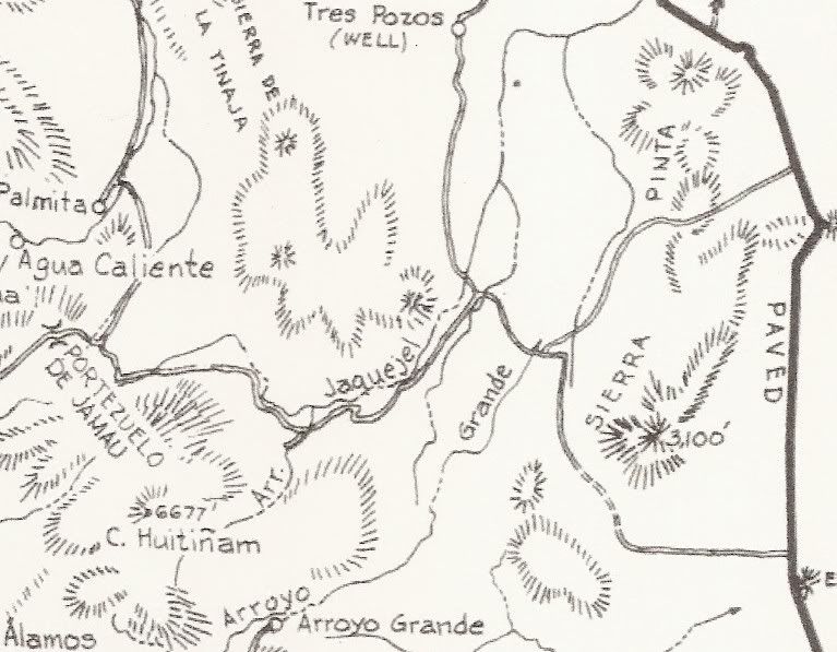
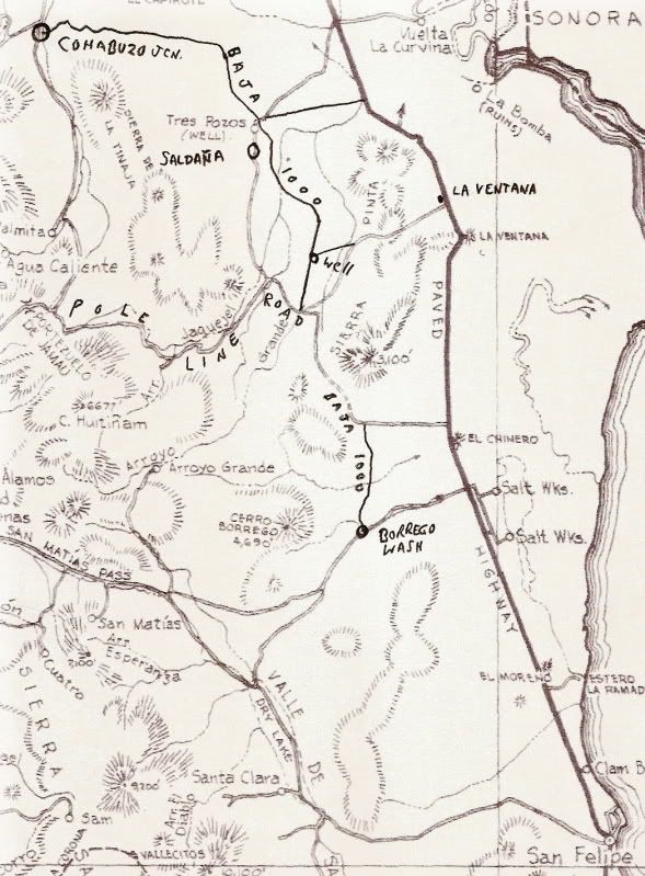
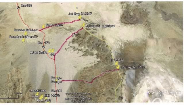
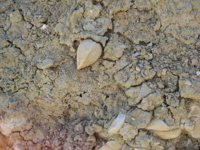
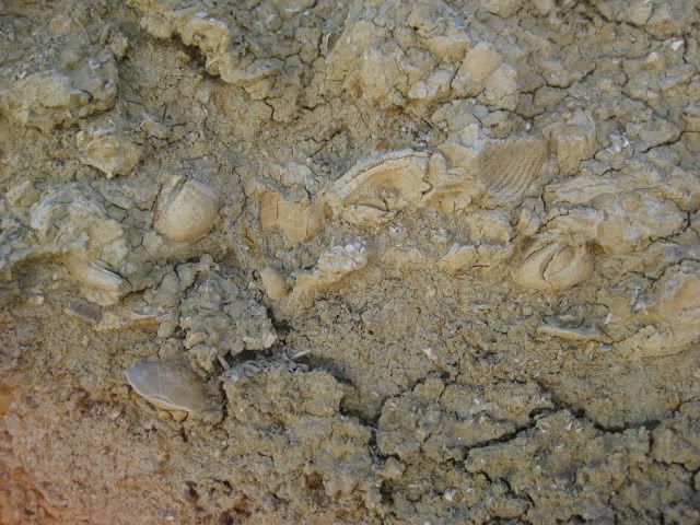
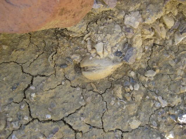
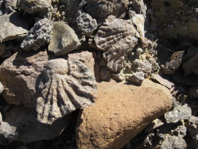
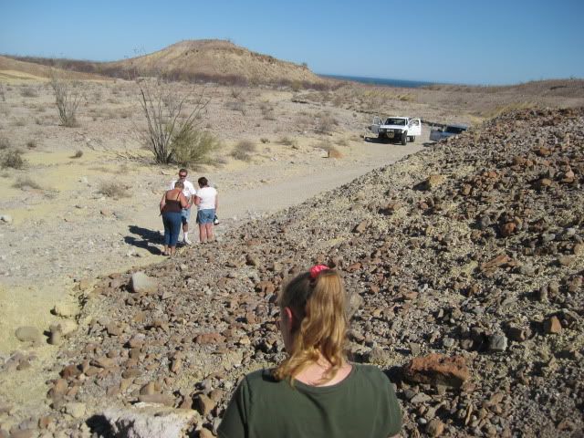
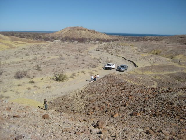
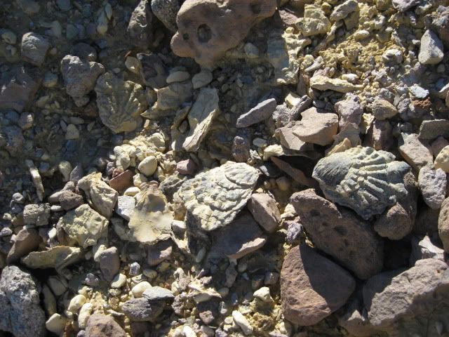
This is Howard Gulick's 1962 map of the area. We went as far as the road junction area just north of the lable 'Grande' for Arroyo grande on the map.
|
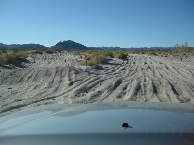
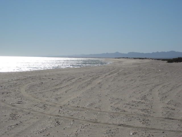
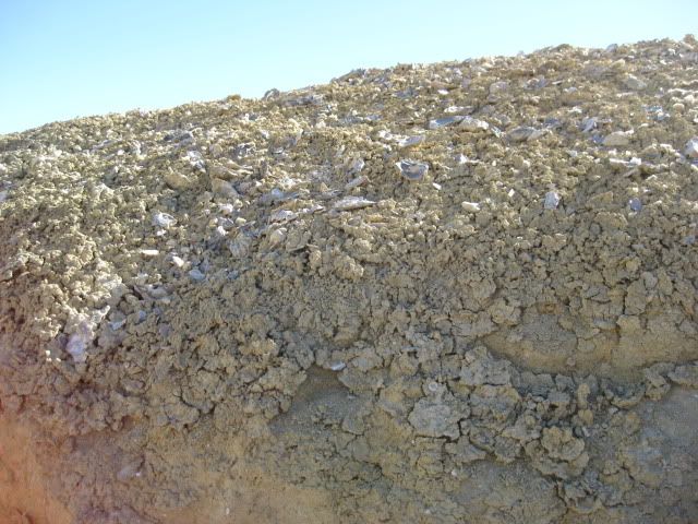
For starters, Hwy 5 does not hook the way it does on this map. Plus, where you were driving when you took the photo behind the wheel, is sandy, but
is past the actual arroyo - leading to some massive silt beds.
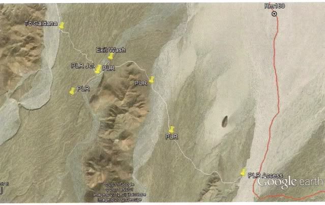
I would post my photos, but they would throw your screen orientation out of sorts. And, I know you wouldn't like reading your thread with larger
photo images to condend with. |

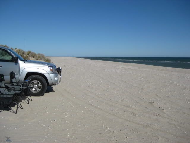

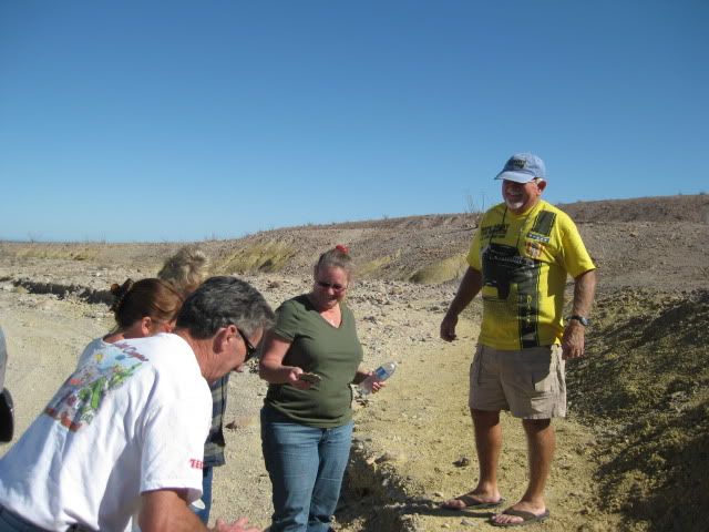
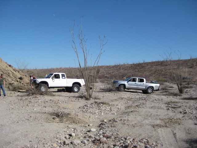
 (Chick fixed it while I goofed off driving circles around it on the beach)
  Chick has a Toyota too... I think he drives it when he doesn't have another vehicle along for support!