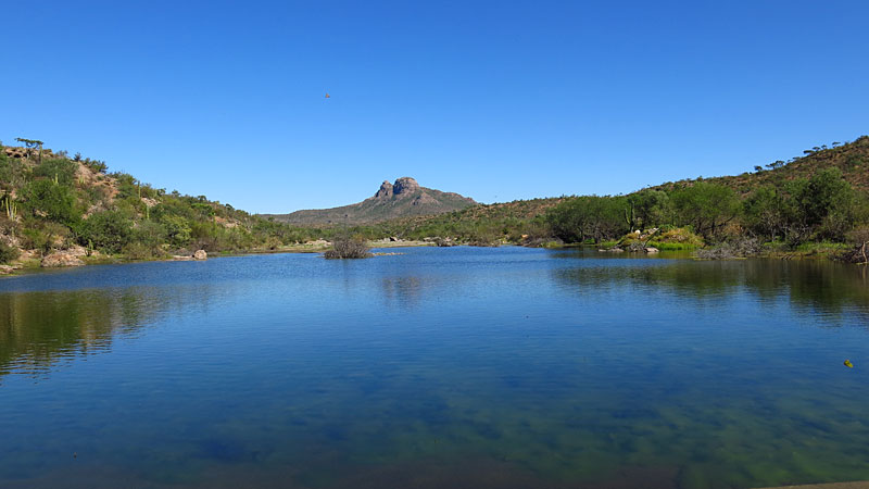
Here's a photo sphere taken after cresting the summit:
https://www.google.com/maps/views/u/0/view/11596559755849069...
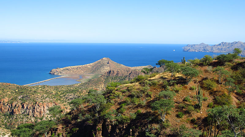
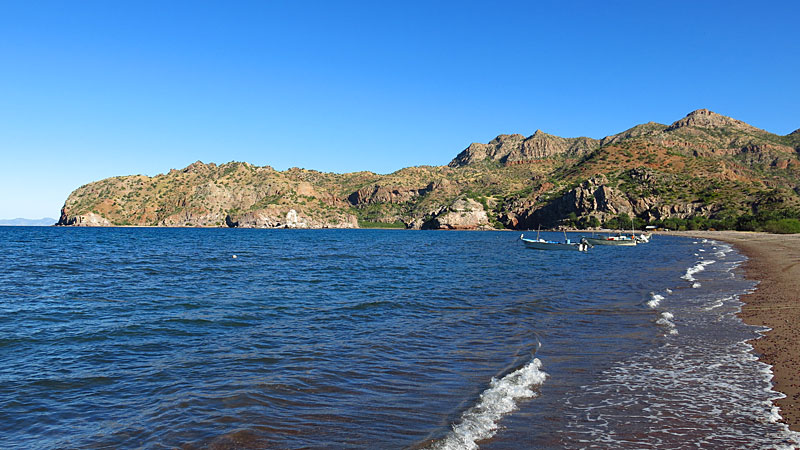
And a photo sphere on Bahia Agua Verde:
https://www.google.com/maps/views/u/0/view/11596559755849069...
Photo sphere: think Google Street View. Click and grab the photo sphere and look up, down, around. Go nuts and zoom in and out.
|