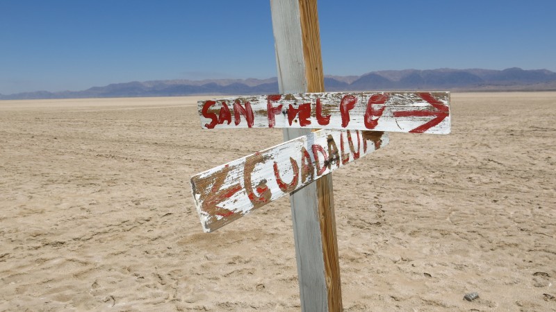
I can put one together I think. I have the Guadalupe to Cohabuzzo Junction already and I can try to upload the Cohabuzzo to Highway 5 from my in car
GPS.
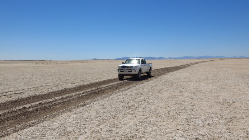
There was nothing of any consequence to be concerned with as far as the condition of the roads. As David said, I drove it on April 5th.
Obviously the concern is with the unexpected situation with a single vehicle. There was an occupied ranch about 8 miles before reaching Highway 5. If
I can upload the track I'll mark the ranch.
Bill, on the top right of the screen, across from "Baja Nomad" is a clickable option for U2U - I used it to send you a private message, click on where
it'll say "you have one u2u message" - read it, if you want to reply, go down to the drop down menu, click "reply" and send it to me.
John M
[Edited on 4-23-2015 by John M] |