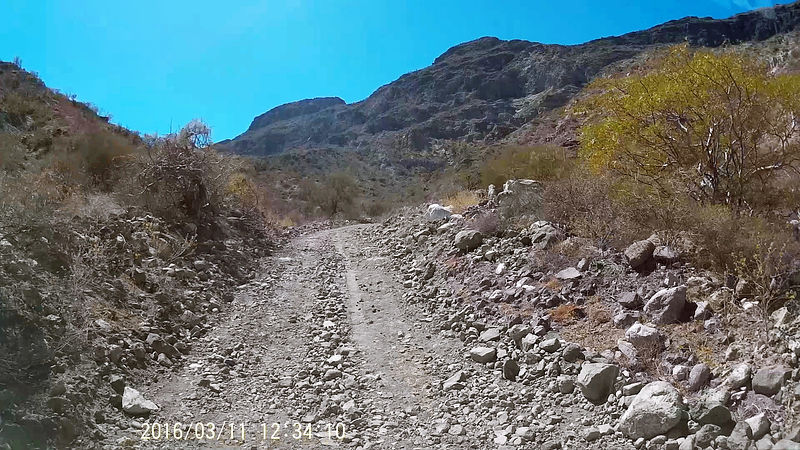
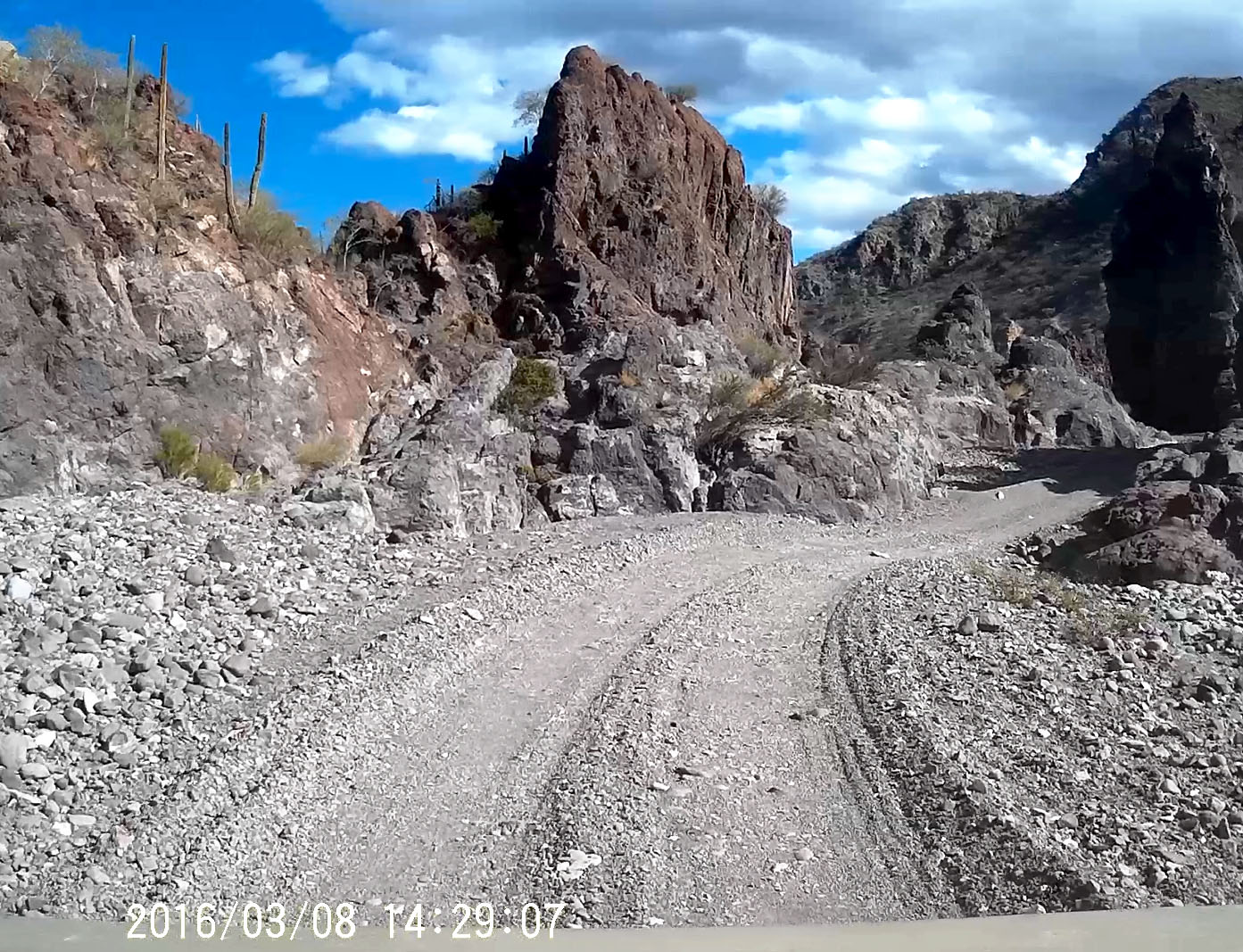
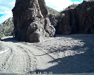
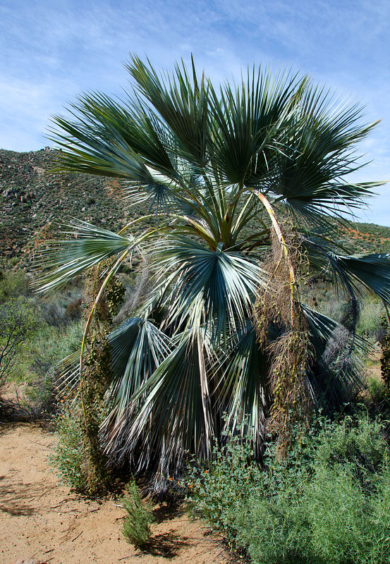
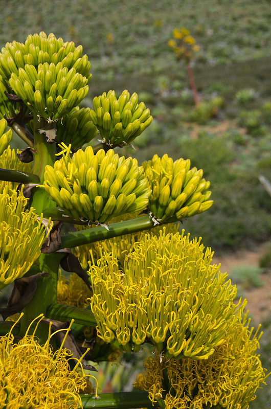
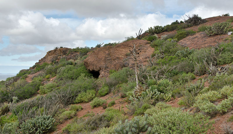
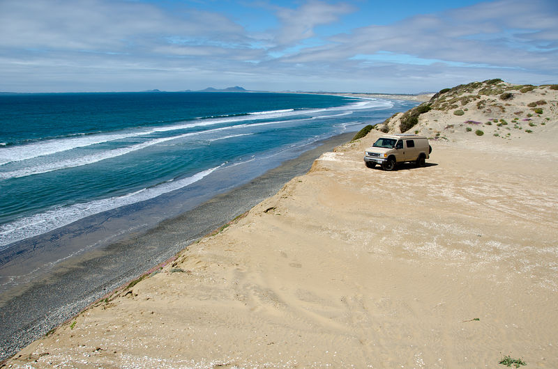
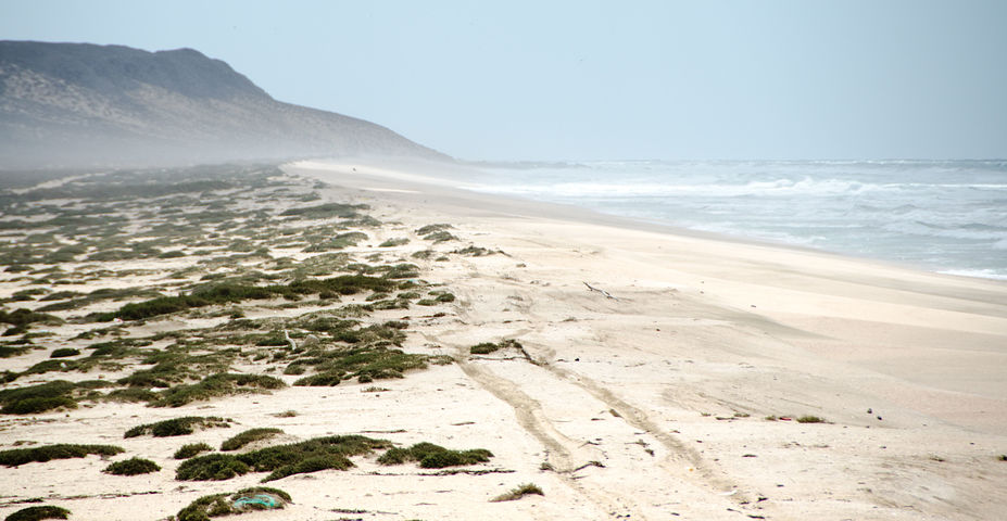
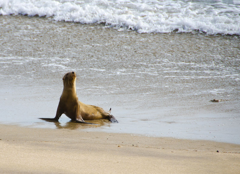
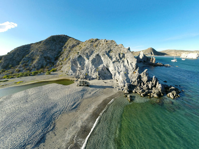
OK, my inner geek is showing here, but I checked my dash cam from 2016, and you are both heading down to the beach. Very close to each other. David's
photo location is just beforehand, 17 seconds earlier in my video than Skipjack Joe. You can see SJ's rock with its distinctive plants on the right
side of DavidK's photo.

-- Geoff
[Edited on 5-3-2019 by geoffff] |


 .
.