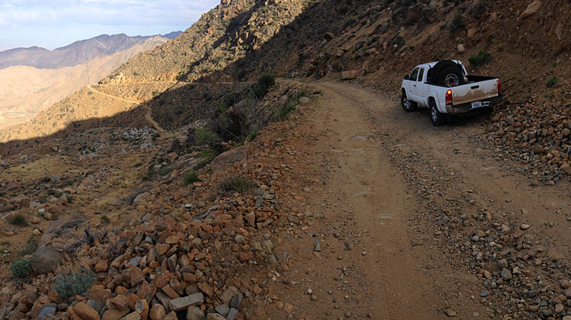
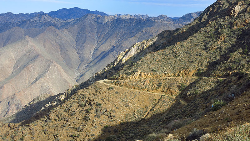
It appears that License to Kill was filmed on what was at the time a free 'libre" road. It was all asphalt, two lanes. Notorious for fatal accidents.
The canyon below was littered with the remains of cars and trucks which had gone over the edge.
"Rumorosa grade" is a common name for Cuesta de Cantú or Cantú Grade, named for a former governor of the territory of Baja California.
La Rumorosa was called "Alaska" many decades ago.
Looks to me that most of the filming was at the higher elevations with domes and huge granitic boulders, elevation 3,000'+.
The new toll highway ("cuota") is now Mex Highway 2D. The free road was Mex 2 and no longer exists between La Rumorosa and the desert.
https://en.wikipedia.org/wiki/Mexican_Federal_Highway_2D
When in the area, you might check out Casa de Piedra and its "mirador" (viewpoint). Park 1/4 mile east of the toll booth (caseta de cobro) on the east
end of La Rumorosa. It's easy to miss, so go slow. There may be some banner/flags. Drive in a steep driveway or park next to the highway. My friend
Alfredo Vizcarra owns it and charges a few pesos entrance fee. Nice picnic spot.
Or lunch at Cabana del Abuelo, on the free road west side of town, next door to the Pemex station.
An interesting side trip is Vallecitos natural park which has Native American cave paintings. West of La Rumorosa on the cuota, exit at KM68, drive
north on graded dirt road approx 1/2 mile. Entrance is a couple dollars with safe parking. A self-guided loop trail takes approx. 45 minutes. 2 hours
if you relax and take a lot of photos.
[Edited on 1-3-2018 by Maderita] |