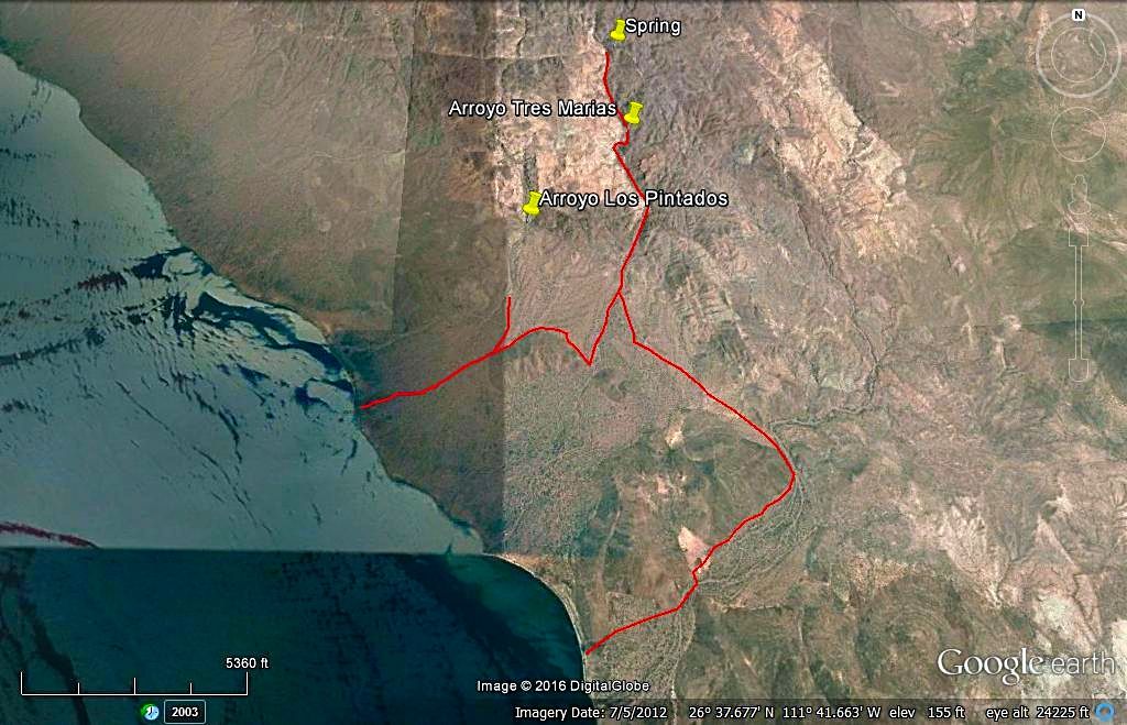
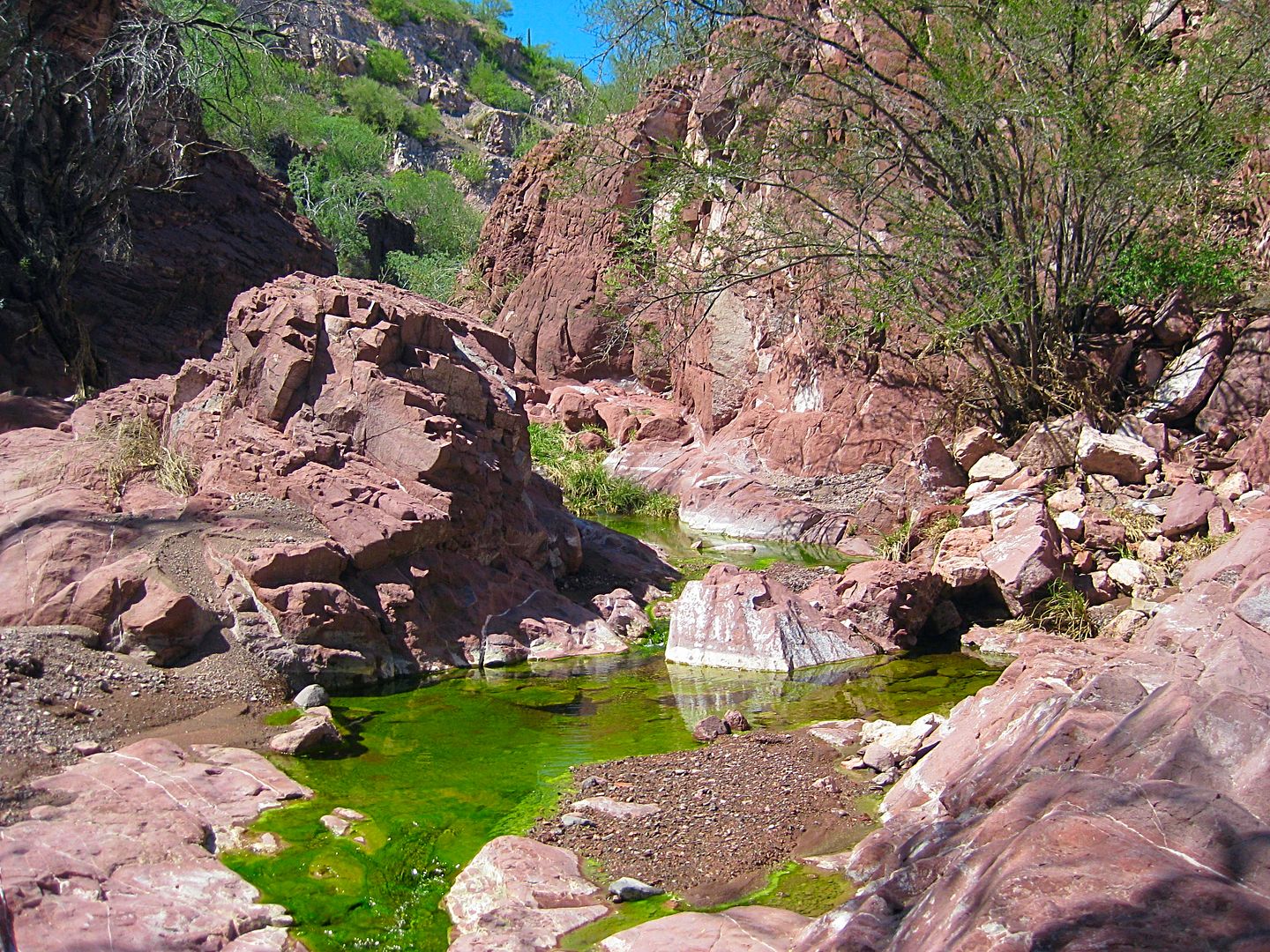
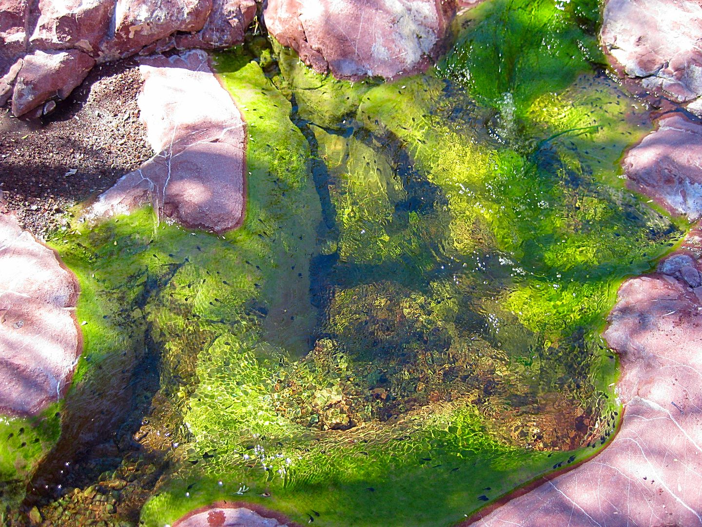
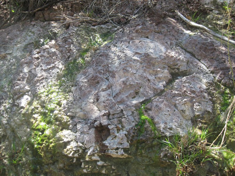
Quote: Originally posted by David K  | That land is called the Concepción Peninsula. There is a ranch about midway up, a fishing camp at the end, and an abandoned manganese mine on the
east side, near the tip.
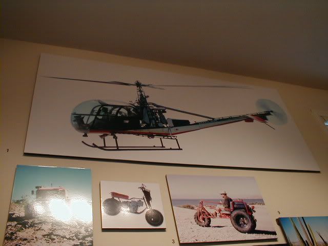
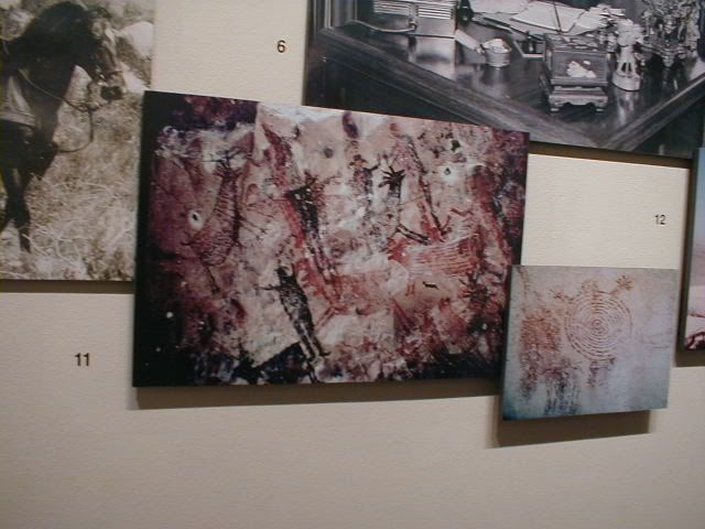
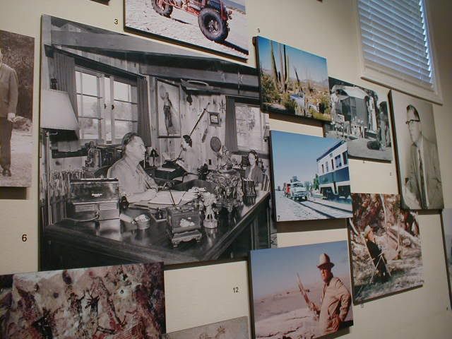
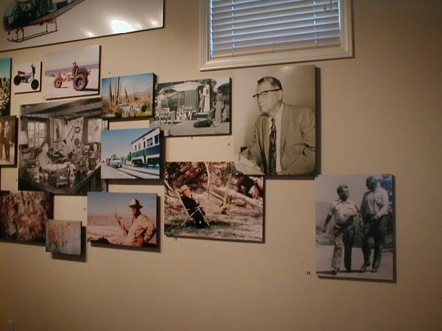
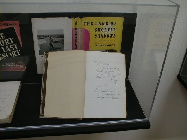
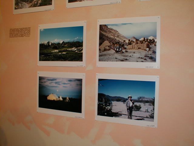
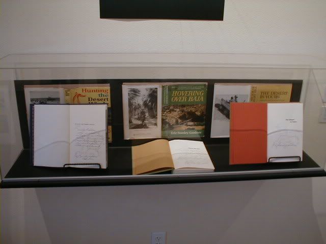
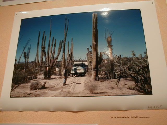
Erle Stanley Gardner (Perry Mason creator) was fascinated with the peninsula and explored it in 1966.
After my little group went out there in 2016, I wrote about it here and for Baja Bound.
Let me know if you want to see what I have, posted again here. |
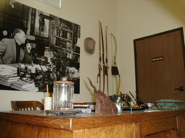
Well this guy - Erle Stanley Gardner - is the real deal, what a life he must have had. His wiki page is amazing. He was a writing machine. Dig deeper
lo and behold his "off the beaten track in Baja" has been digitized and available on the internets library - Internet Archive. Another library card
and password to get now. Even his first name gets a mention because how unique it is. Definitely had much love for Baja, he's blowing in the dust
somewhere to this day. |


 I'm very relaxed, alm. Just like the fly said standing on a mirror,
"It's another way of looking at it".
I'm very relaxed, alm. Just like the fly said standing on a mirror,
"It's another way of looking at it".