
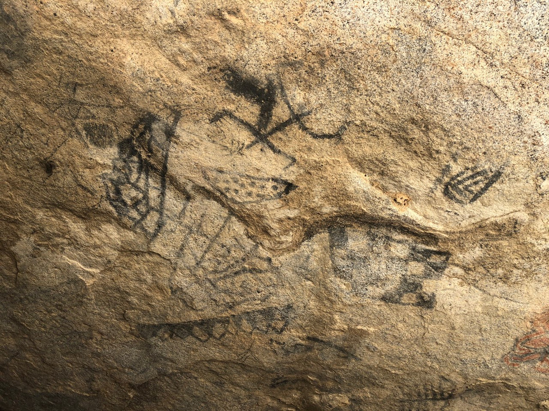
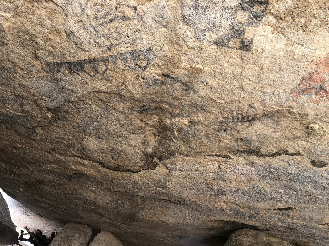
 .
.Quote: Originally posted by RFClark  |
| Quote: Originally posted by PaulW |
| Quote: Originally posted by Tioloco |
| Quote: Originally posted by PaulW |

| Quote: Originally posted by PaulW |
 betta care
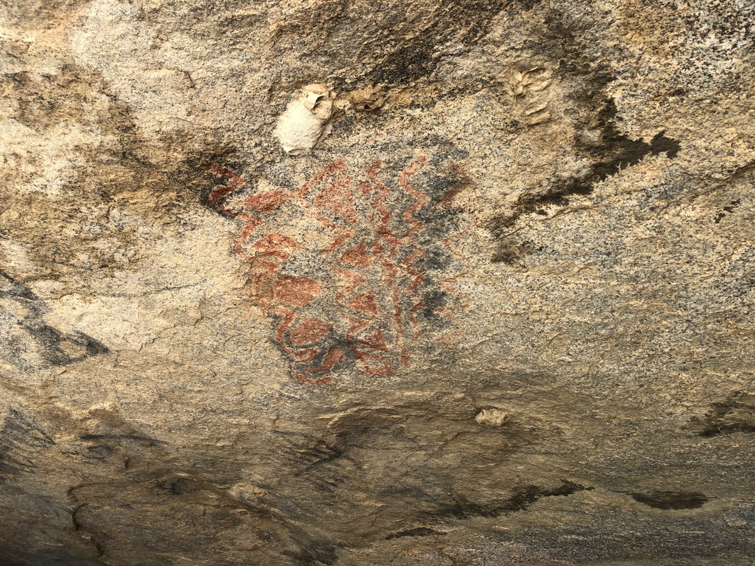


| Quote: Originally posted by David K |
| Quote: Originally posted by PaulW |


| Quote: Originally posted by David K |
| Quote: Originally posted by 4x4abc |
| Quote: Originally posted by lencho |