Kurt,
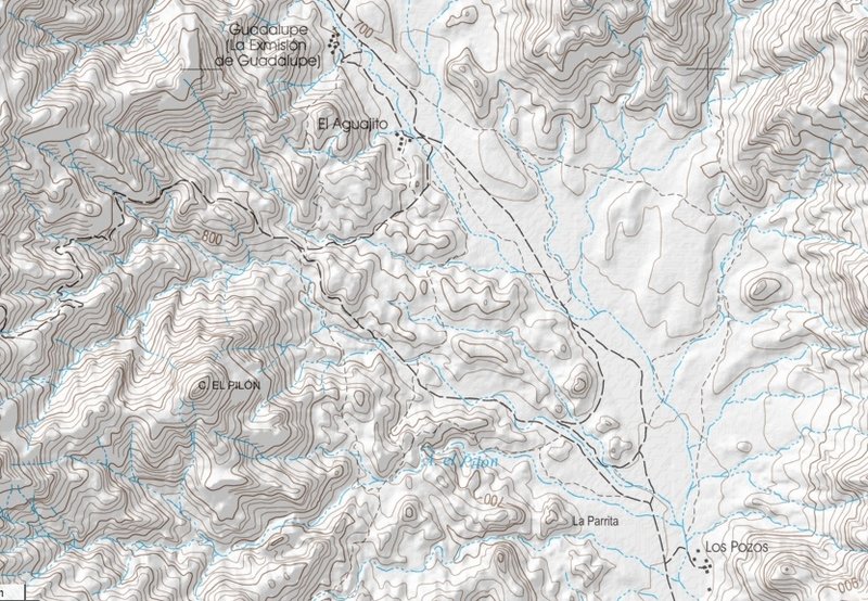
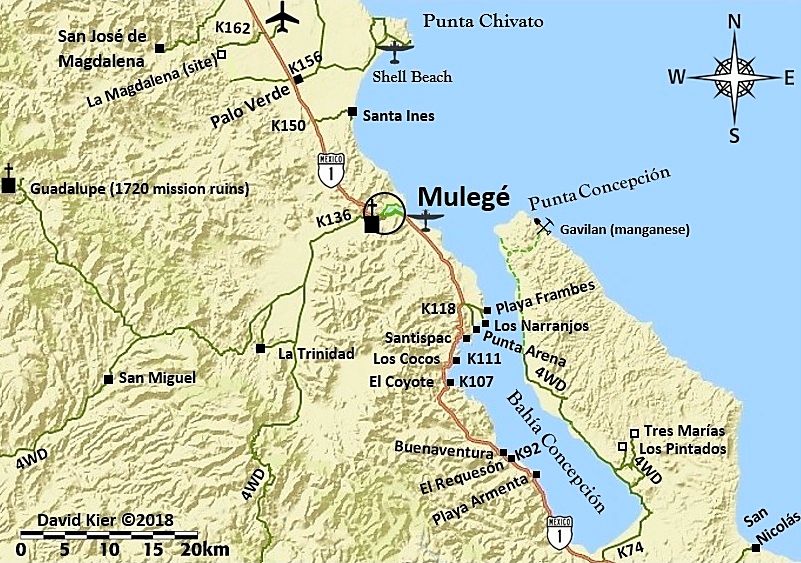
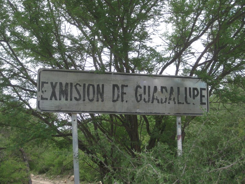
I think it was 2008 or '09 when we met on the road west of Mulege....going up the eroded rock-paved section just west of the rancho in that little
canyon narrowing part (what is the name of that rancho at the southwest corner of that canyon?).....you were guiding a young couple that I think were
from Nelson BC....and you were loving your KLR 
I was with two friends, and on my 450 EXC
Remember that guy several years ago with the LSD green KLR at La Hacienda....it took him a week in GN waiting for a tire replacement..... but he had
his prospector hammer and trench shovel (first-timer :biggrin
|