


Quote: Originally posted by Don Pisto  |
| Quote: Originally posted by Don Pisto |

| Quote: Originally posted by David K |
| Quote: Originally posted by del mar |


| Quote: Originally posted by 4x4abc |

| Quote: Originally posted by 4x4abc |
| Quote: Originally posted by pjpvi |
| Quote: Originally posted by Don Pisto |

| Quote: Originally posted by Don Pisto |
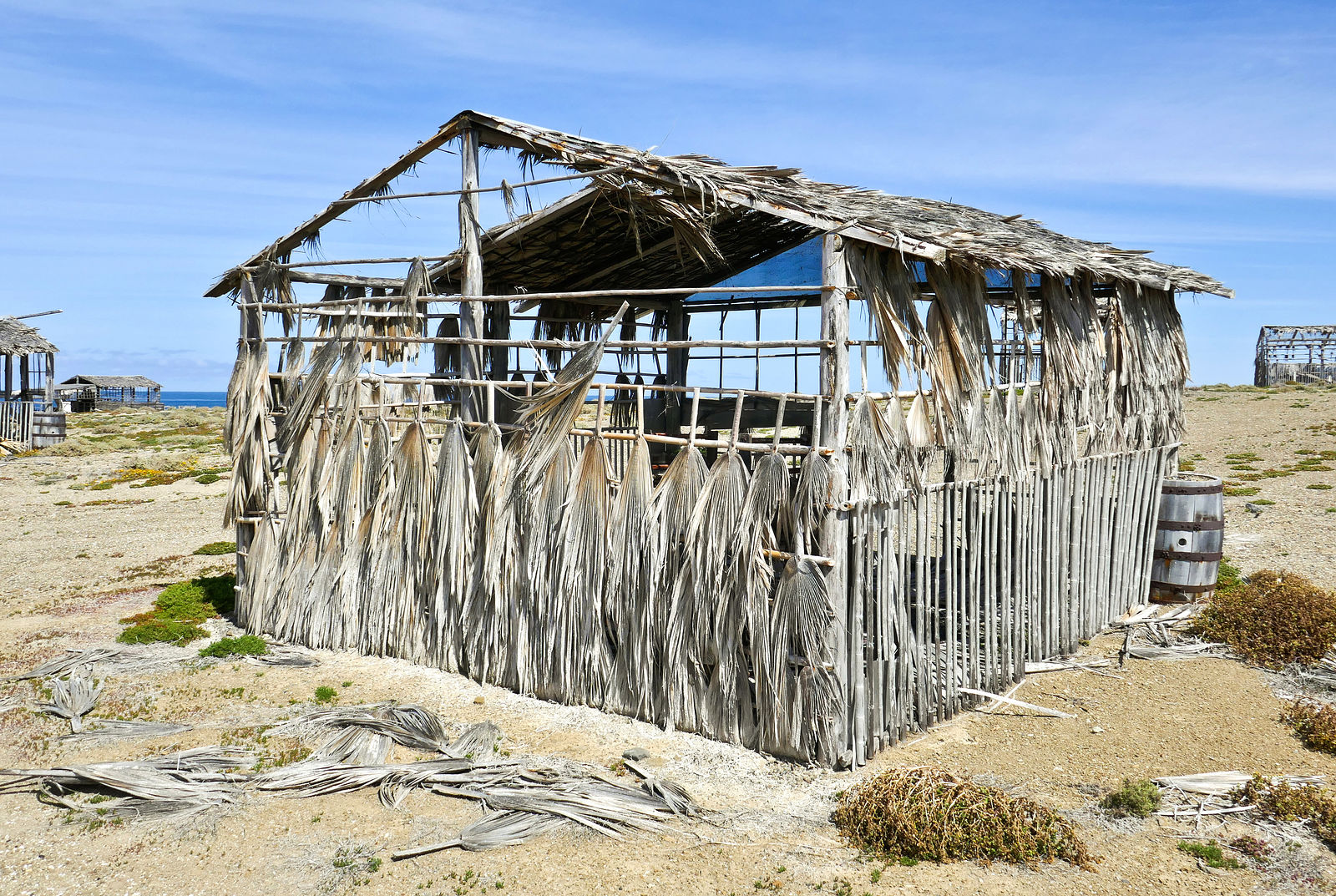
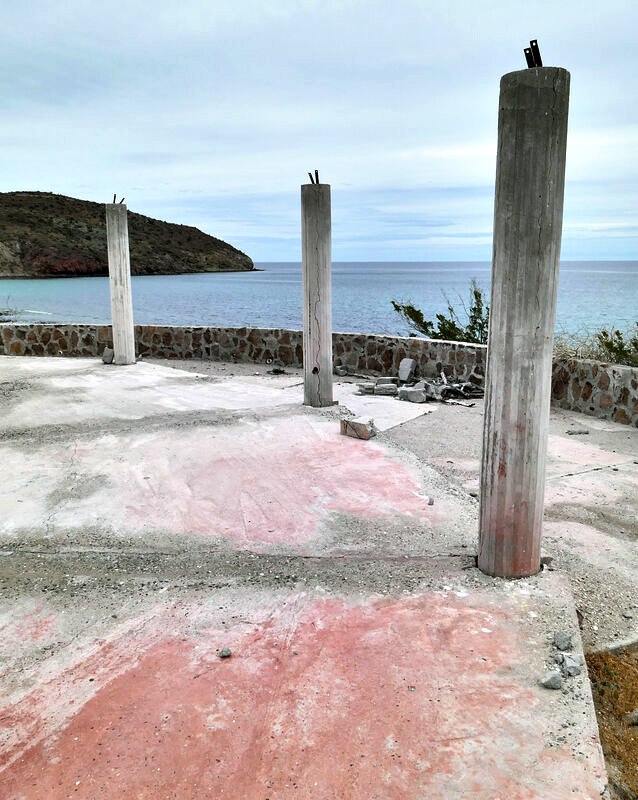
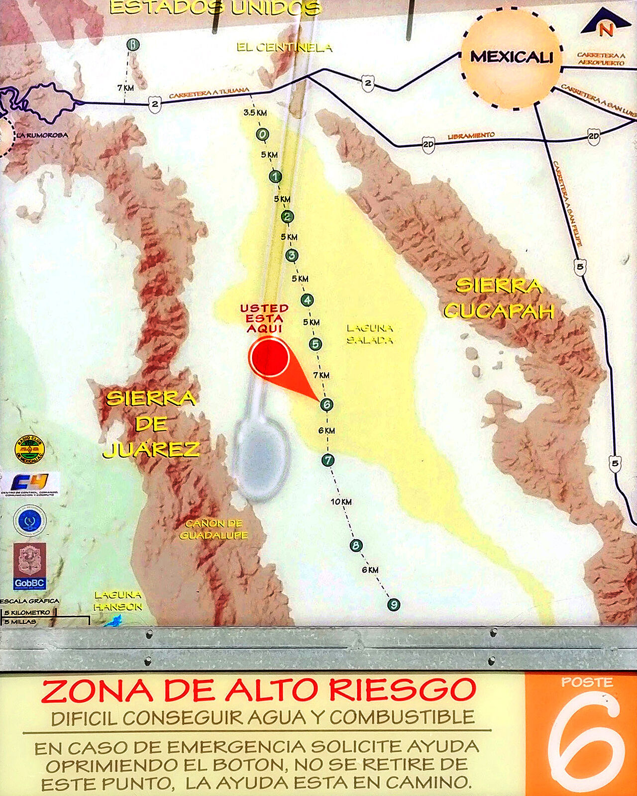
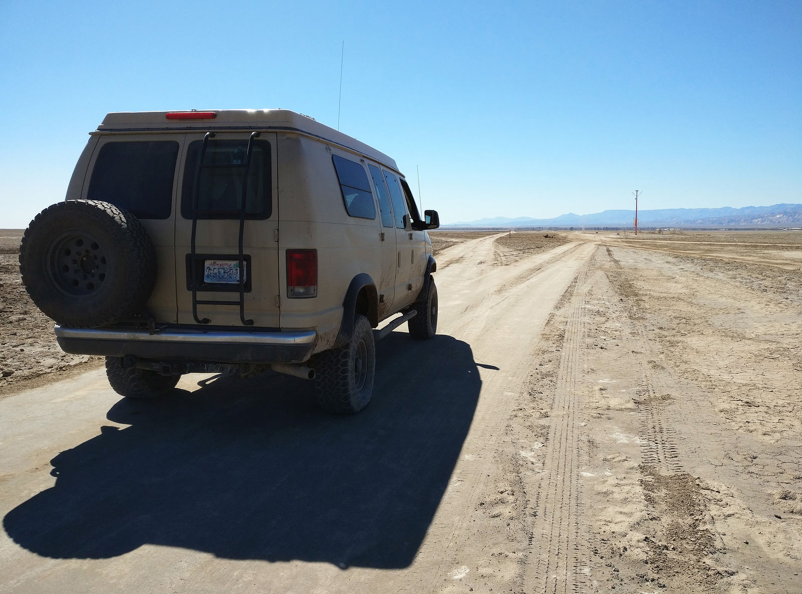
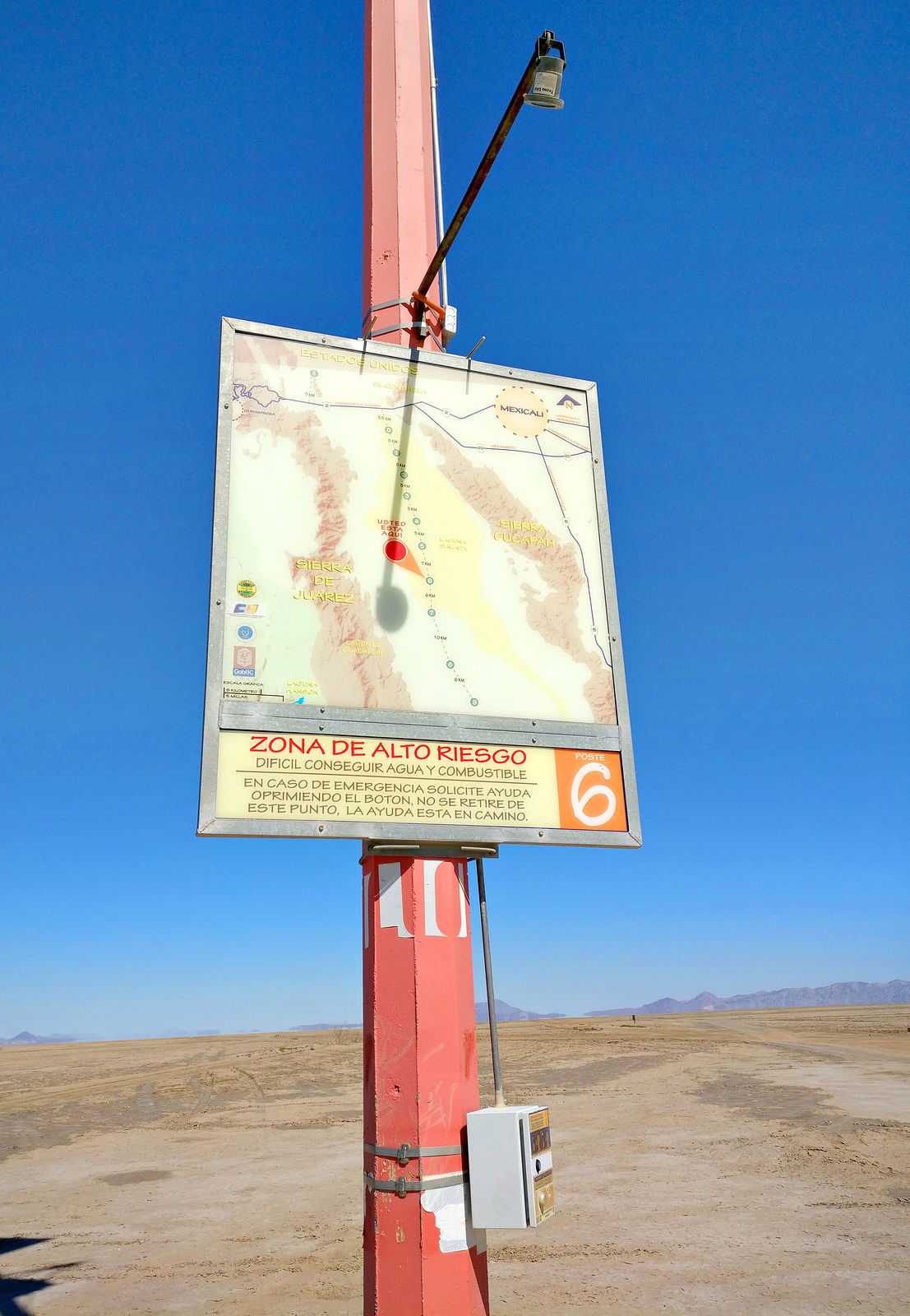
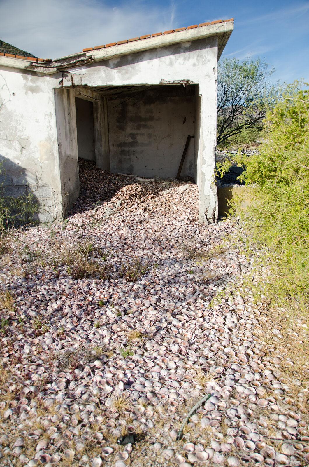
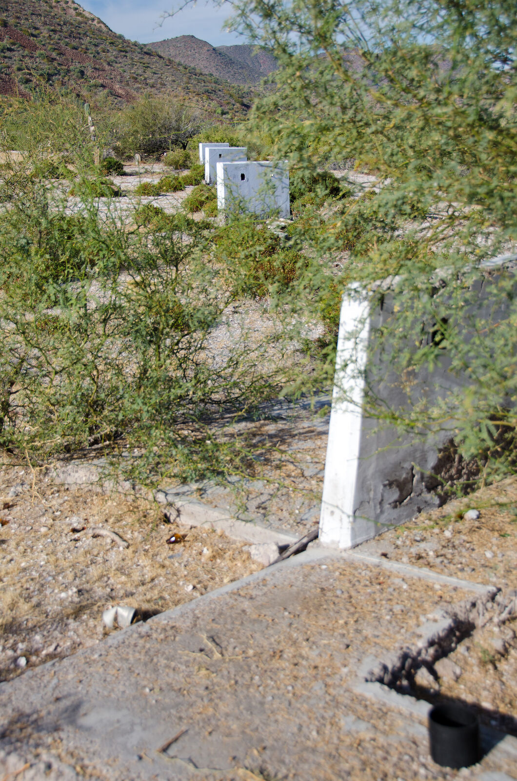
 I'm wondering if anyone else has visited the
site? Here are a few more photos:
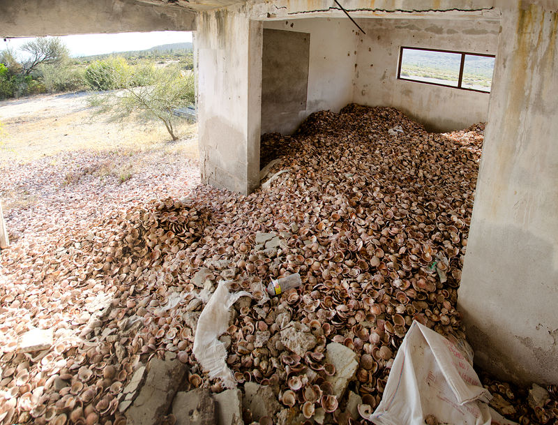
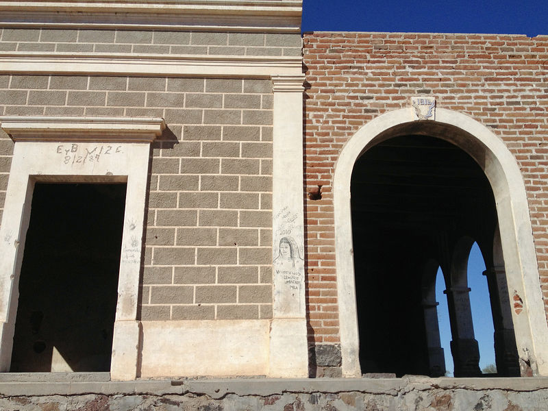
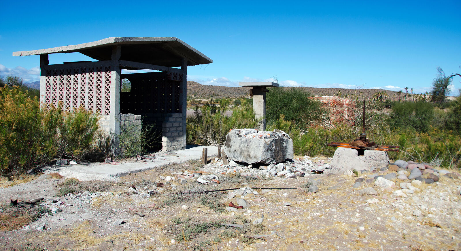
I'm wondering if anyone else has visited the
site? Here are a few more photos:


| Quote: Originally posted by geoffff |
| Quote: Originally posted by geoffff |
| Quote: Originally posted by David K |
| Quote: Originally posted by geoffff |