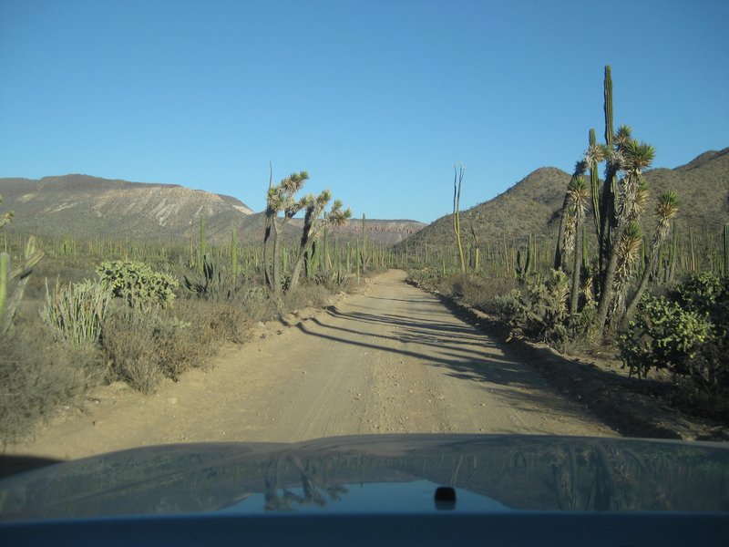
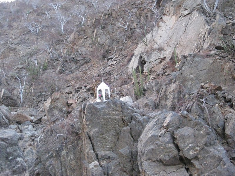
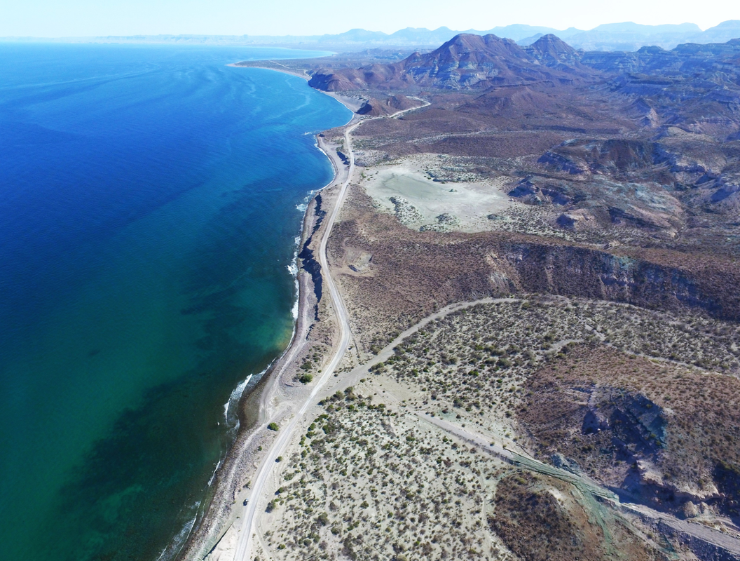
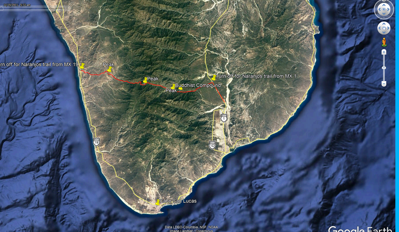
I am not sure of the name or spelling of that route, but I drove it in November of 2020 from east, to west. It is a nice, scenic drive! I found a
place to sleep up near the summit, and was serenaded by goats, and cows wearing bells for most of the night!
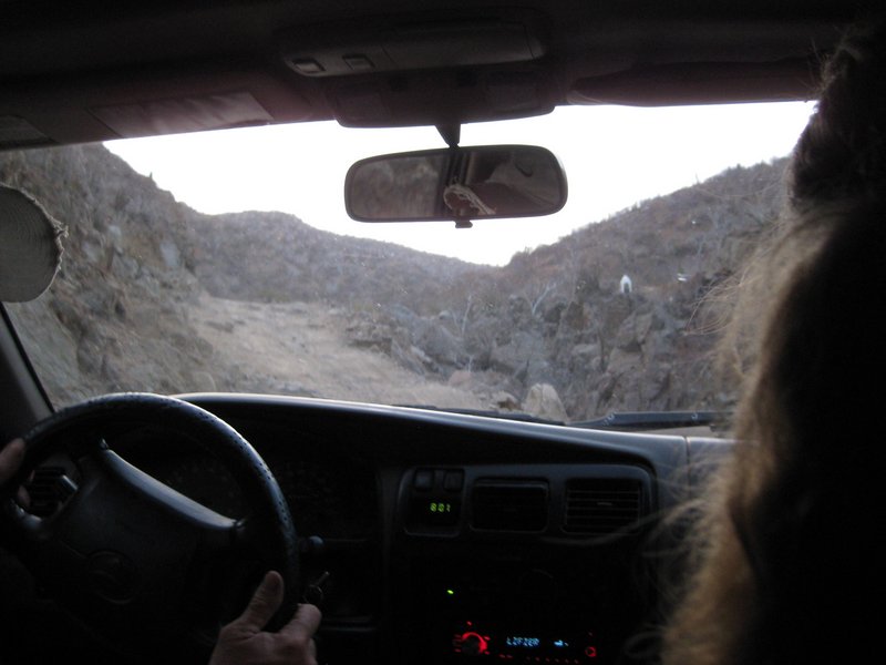
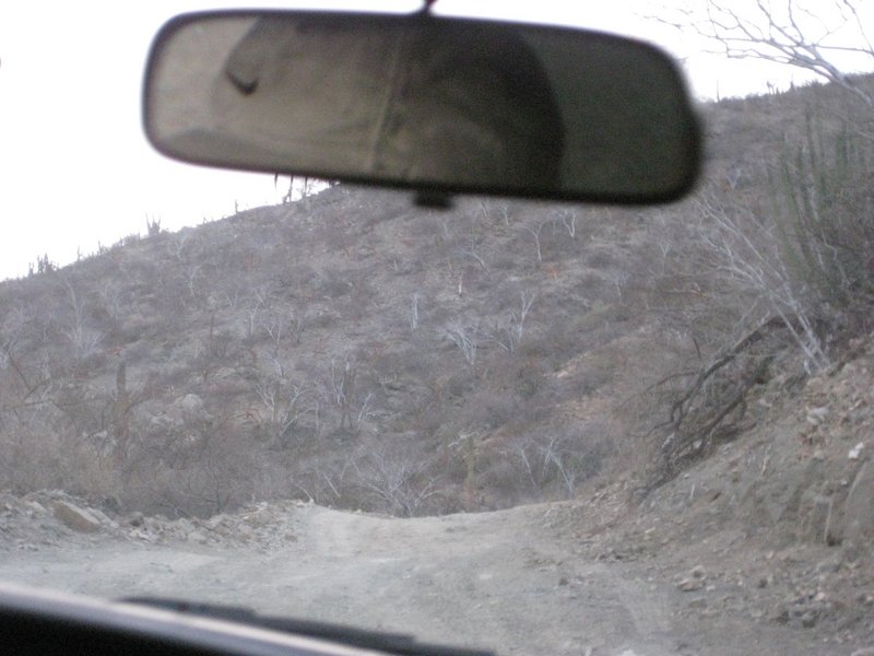
The first half was excellent dirt that would be an easy drive in anything up to a motor home! The western, last quarter of the road was about the
same.
There were a couple of steep spots and water crossings on the west side of the divide that had been washed out and repaired, but nothing that I needed
to use 4x4 or low range for.
I would not want to drive a low clearance, or long wheel based rig over that section, but you probably could. All bets are off if there is a storm
before you ride it!
Edit; The water crossings were not deep, but a couple had steep approach or departure angles!
[Edited on 8-11-2021 by AKgringo] |