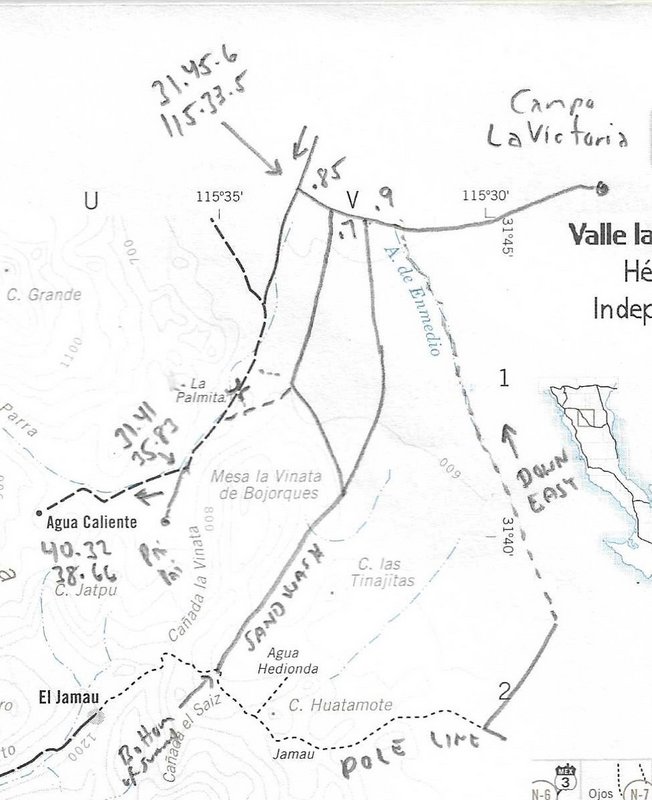
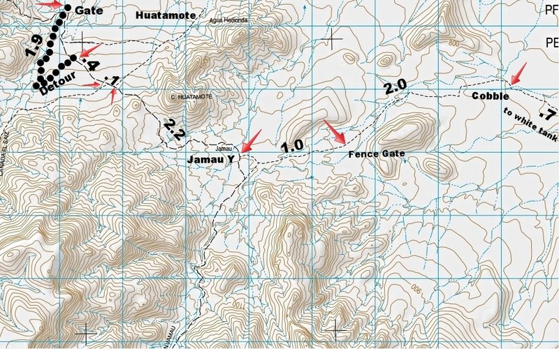
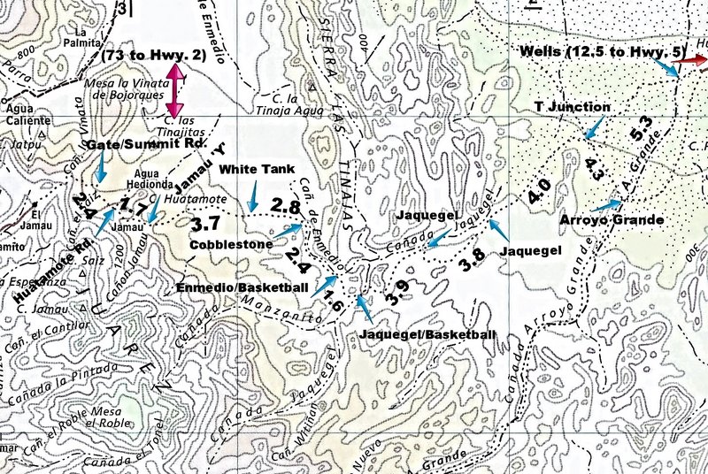
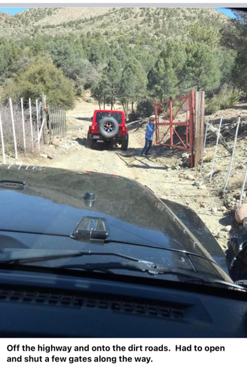
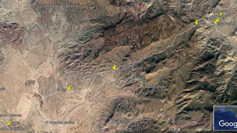
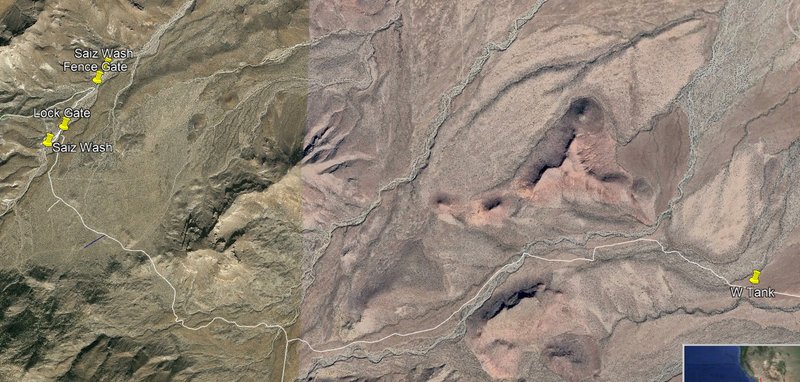
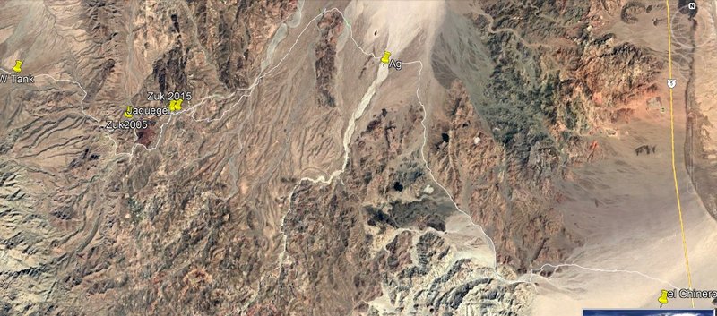
Quote: Originally posted by ehall  | | Paul. Where all our motorcycle tracks still there? We went thru the vegetation in the wash then all the way south to the summit and went up. Locked
gate at top with a moto trail around it. |
Hi Ed,
I have not been up that summit track for several years. Do you mean the gate heading down from the summit with the big 4" pipe?
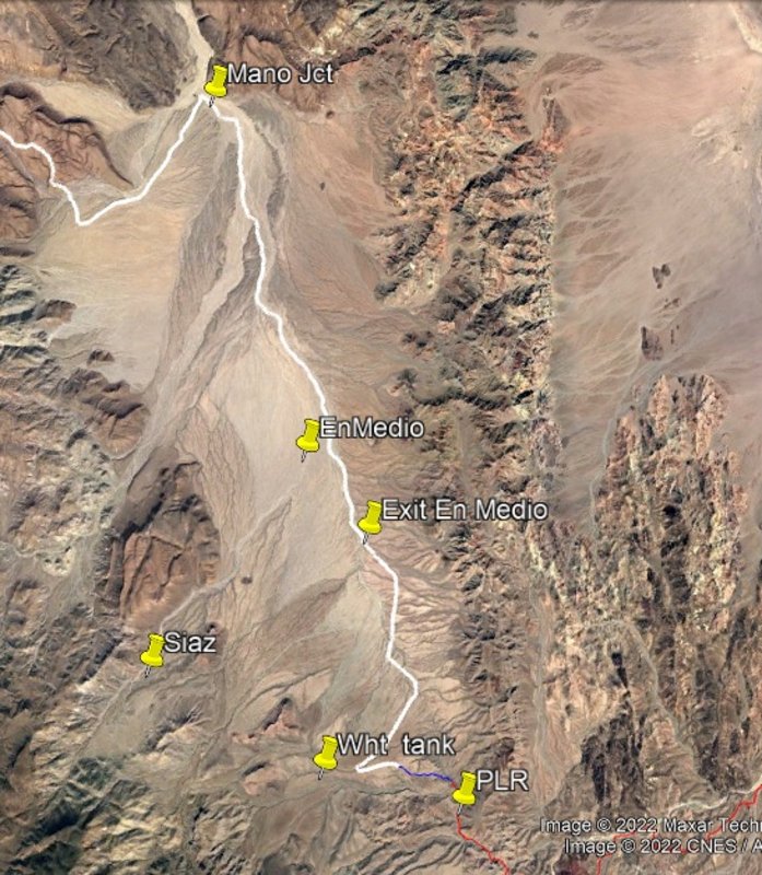
If you took the track up Saiz then we would not see your tracks because we went up En Medio. I am surprised you got the bikes around the summit Gate
from my memory? |


 2.99 breakfast

 terminator 2 wallpaper