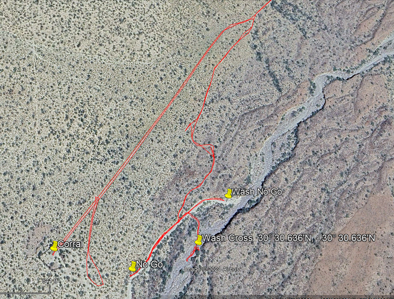
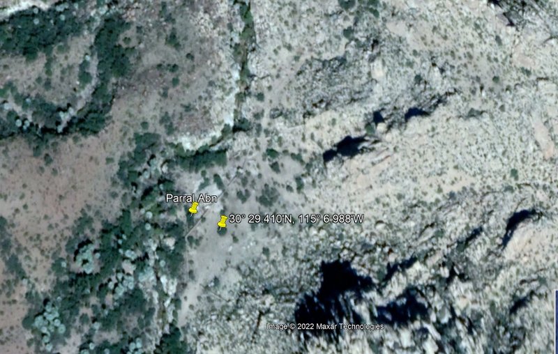
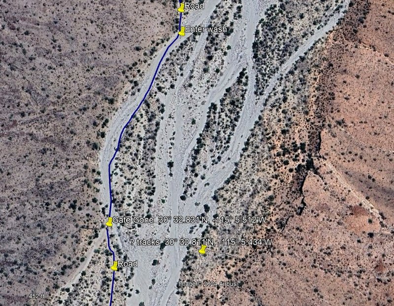
From our camp in the corral, the road can be driven 0.6 mi. to a major washout where the hike begins. Almost a mile up the trail this was the view.

The view back east, down Parral’s arroyo and on to Valle Chico.
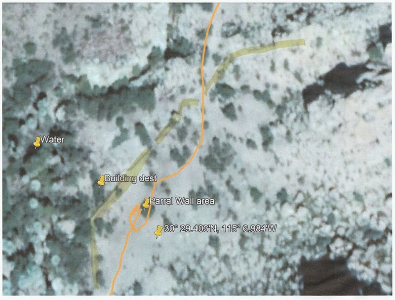
Water flow increased as we neared the site of Rancho El Parral.

Several hundred feet of rock wall enclosed the coral area above the ranch.
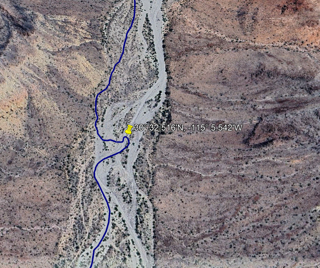
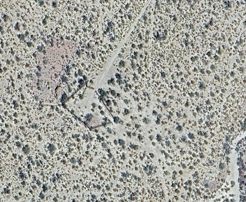
RANCHO EL PARRAL 30° 29.43′, -115° 07.02′
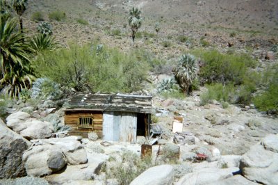
Named for the grapevines (parral) growing just up stream, the ranch is abandoned. Perhaps the flash flood that wiped out the road, a mile away is why
this beautiful location at 2,901′ is unoccupied?
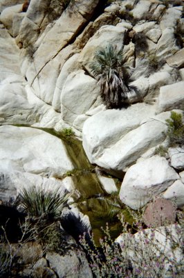
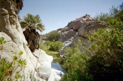
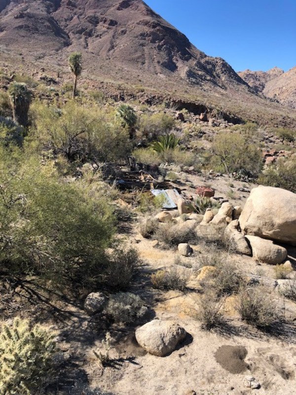
BEHIND THE RANCH…

…was this beautiful scene.

A granite pinnacle and more rock walls are southeast of the ranch.
Going downstream, along the creek, is a different route back.
[Edited on 3-28-2022 by David K] |


 fotos gratis internet