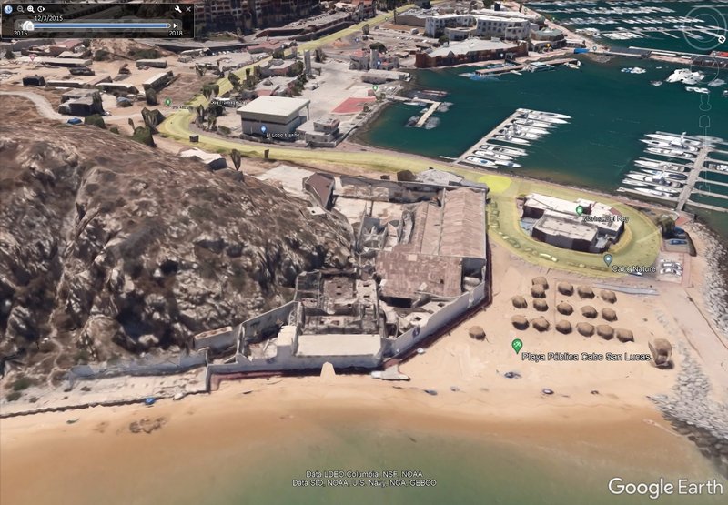
The Hacienda was on the beach, at the top of the dune hill, and on the opposite side of the dune hill was the mud flat where private planes landed.
That was dredged out to make the marina. We went there in 1966 and again the next trip in '74.
In 2017, the abandoned fish cannery was still there... behind this fence:
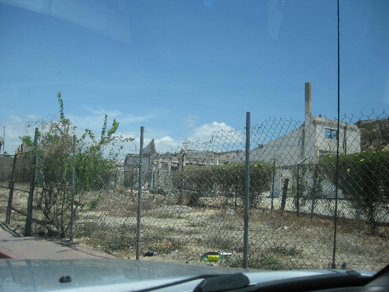
Did they finally tear it all down? |