Any time warm winds blow in SoCal watch out on the Sea of Cortez.
Learned that 20 years ago. It was very hot and windy in LA today.
Started boating at age 3 and have spent probably 5+ years of my life on the ocean. Pacific (US and Australia), Sea of Cortez, Gulf of Mexico,
Atlantic, Mediterranean.
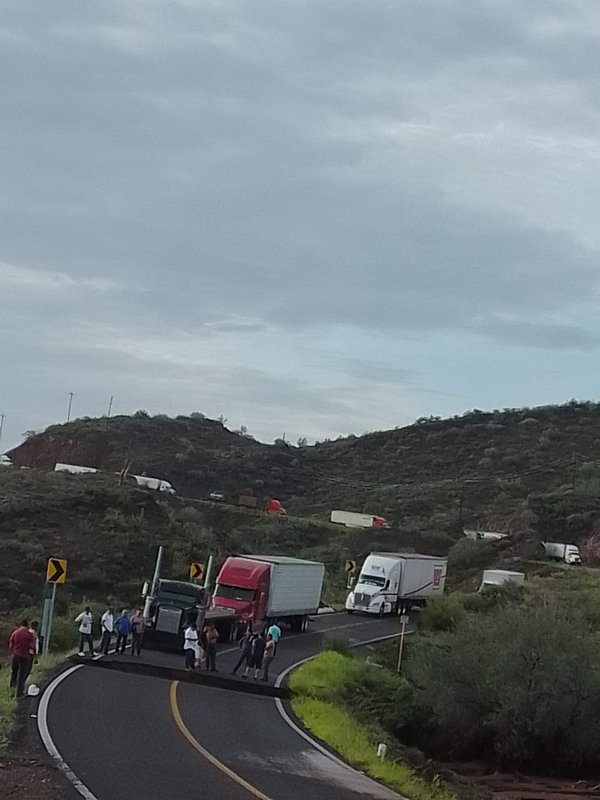
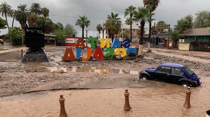
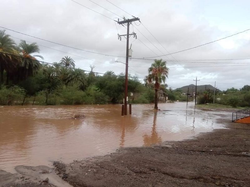
The worst seas we got caught in ever were between Bahia de los Angeles and Santa Rosalia. Had a 33 foot boat and was legit worried for my life. We
left cruising 35 mph on flat seas for the first half of the trip. Then all hell broke lose.
Called home once we got to SR and the wife said it was blowing like crazy at our house.
[Edited on 9-1-2022 by JZ] |


 pleeeze, forget I mentioned it.