David K
Honored Nomad

Posts: 65549
Registered: 8-30-2002
Location: San Diego County
Member Is Offline
Mood: Have Baja Fever
|
|
The Beach, Birds and Bumps in Baja: July 17-20, 2010 (Part 3)
Continued from Part 2:
http://forums.bajanomad.com/viewthread.php?tid=46876
Naturally, the day we leave is the nicest day
it never fails! I guess that helps insure we will always want to return? No wind, calm seas, we go for
a nice swim and then start to pack up the camp. We have a very simple and easy camp and it isnt a big chore to load the truck. One more swim before
we go and we are off the island a bit after 11 am.
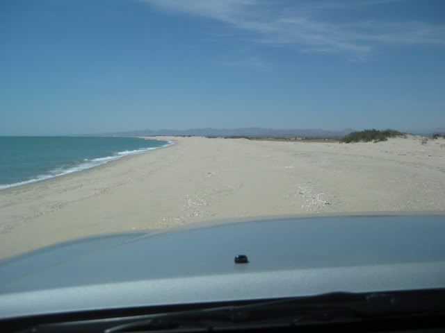
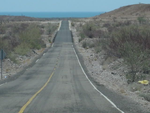
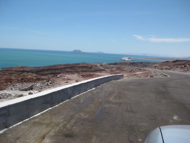
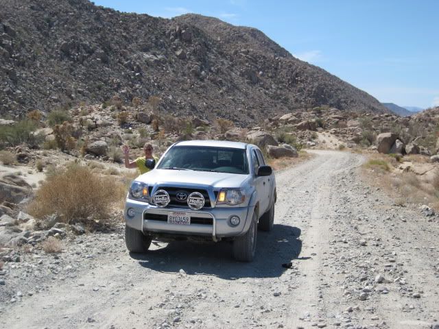
One last photo on the beach as we drive to the road:
We make a stop at Delicias (Km. 35) for some ice to keep the drinks cold. We have two ice chests, one for food, milk, juice and another for water,
soft drinks and beer. We dont bring too much food that needs to be on ice, so that chest had plenty of ice still.
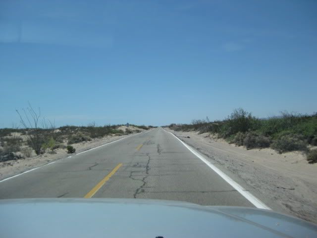
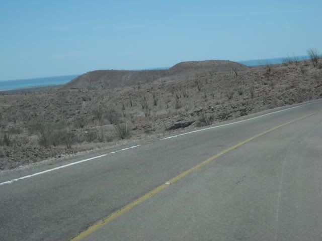
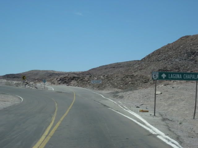
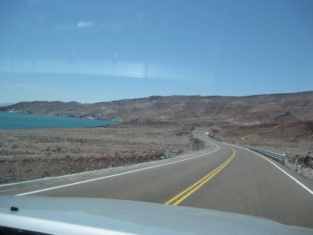
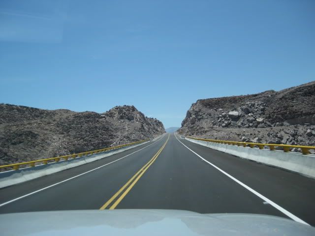
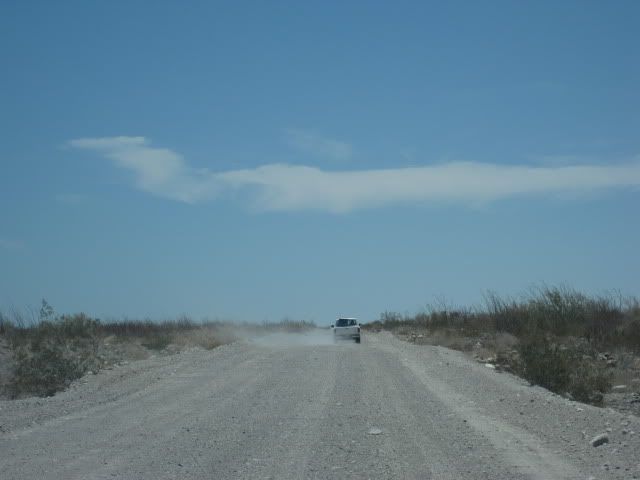
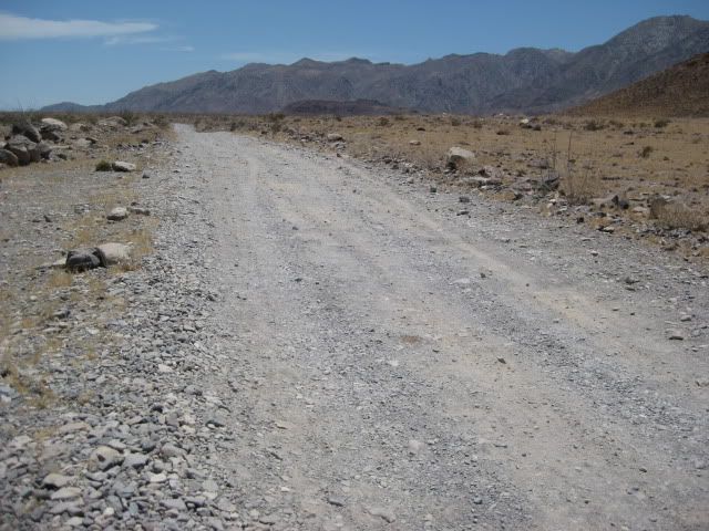
The highway between San Felipe and Puertecitos was built in 1982-83 and pavement was added starting about 8 years later, but took a long time to reach
Puertecitos. Because the job was done so poorly, with too little asphalt, the road was pretty torn up in just a few years. Total repaving occurred by
2008, however the roadbed is still full of sharp, sudden dips and high speed driving is not possible. The new highway south from Puertecitos is a
different story!
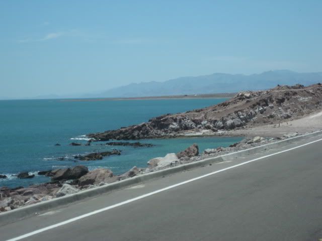
Here are some photos north of Puertecitos, as we head south
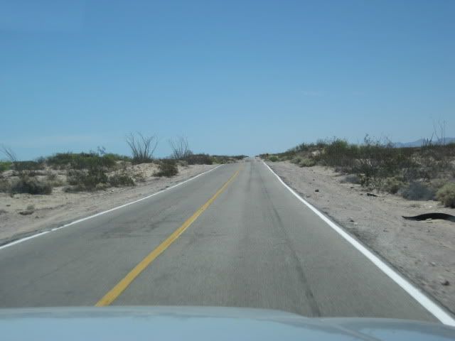
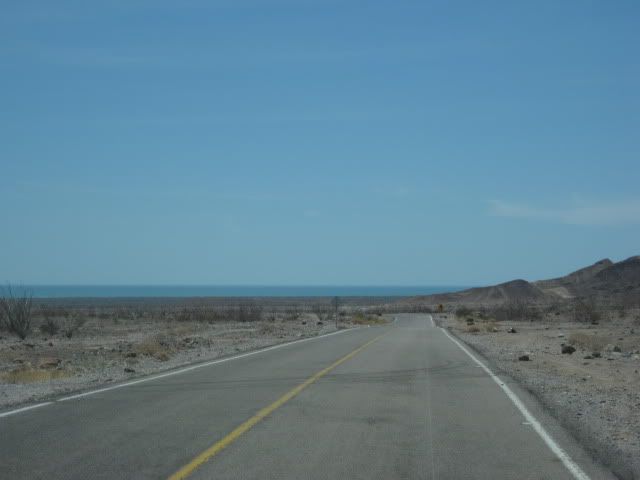
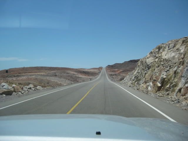
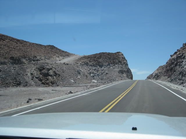
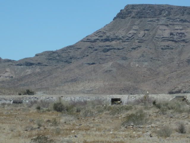
Now, the brand new section south from Puertecitos that was started in late 2008 and has taken a year and a half to get 20 miles, through some very
difficult terrain
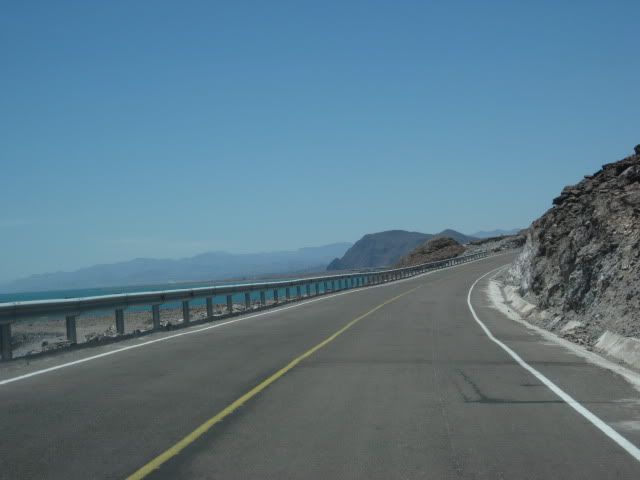
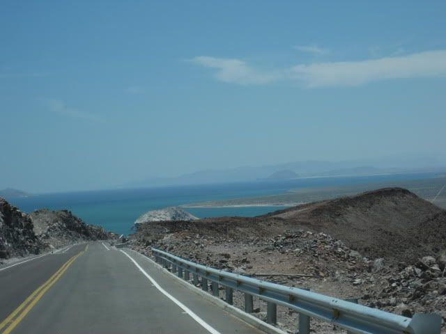
There are two big, paved parking areas to enjoy the view between Puertecitos and El Huerfanito.

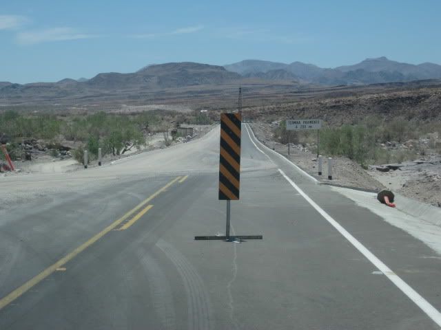
Beyond the sand piles marking the place to detour off the highway, is this warning.
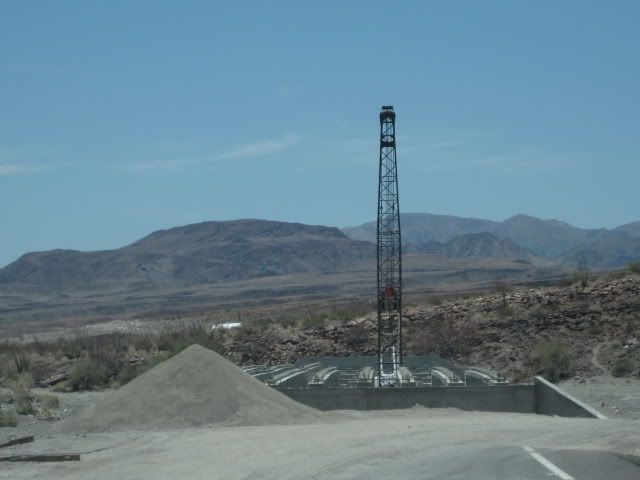
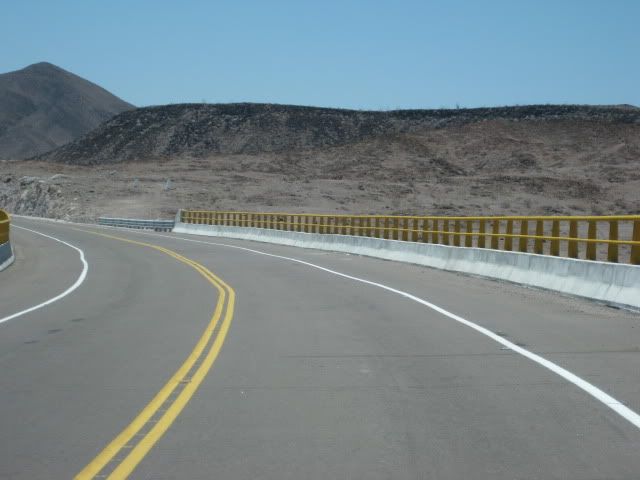
Then, a mile past the sand piles is the unfinished bridge at the absolute end of new highway pavement.
The older road has been regarded along the 6.6 miles where the highway work is progressing, south of the bridge.
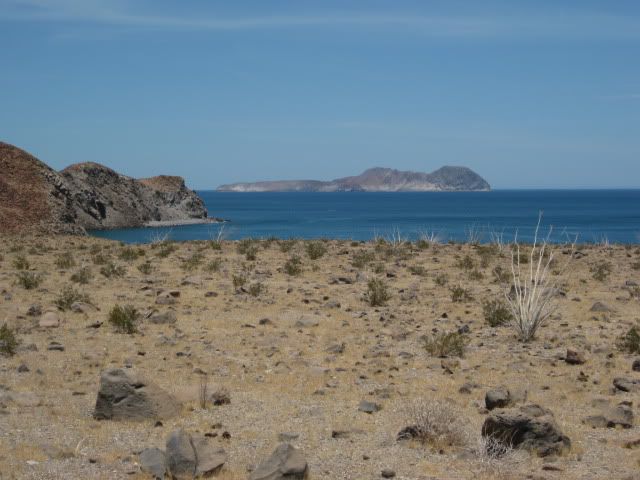
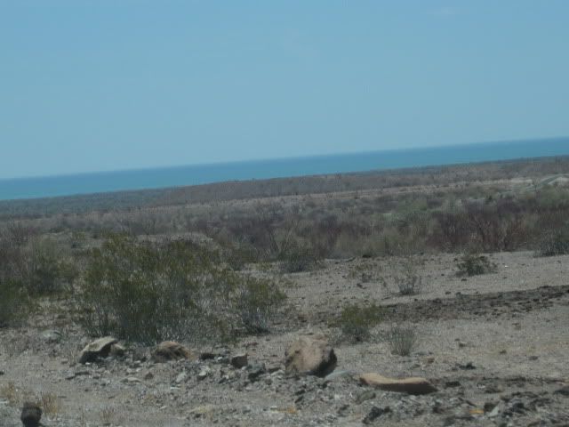
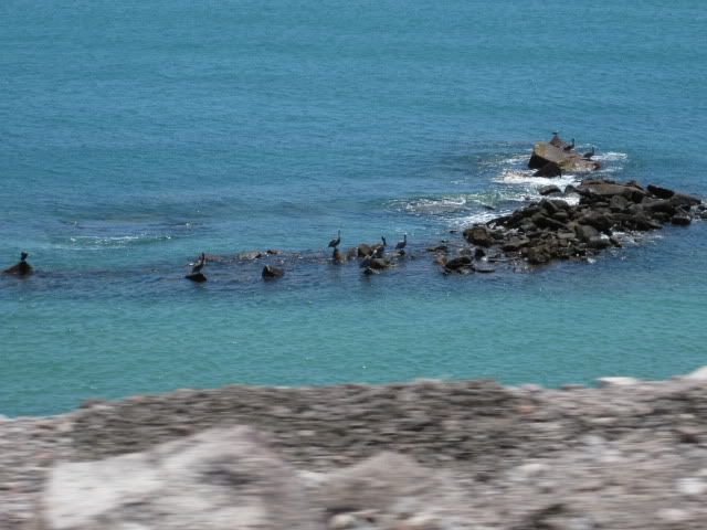
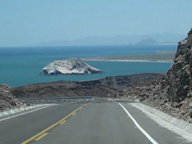
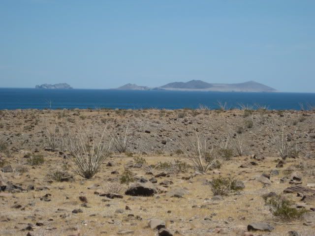
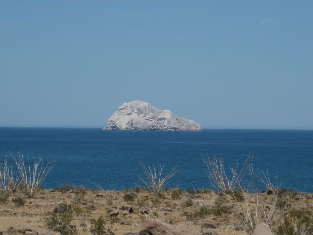
We have a lunch break with a view of the Enchanted Islands.
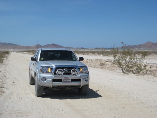
On south we go, 5-15 MPH.
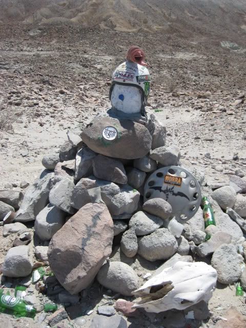
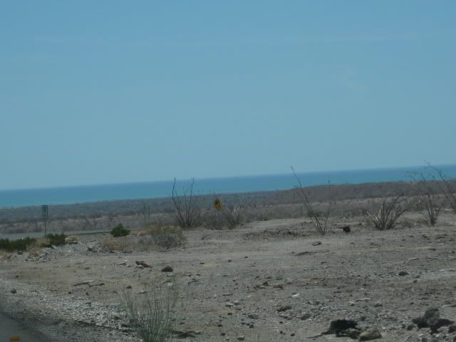
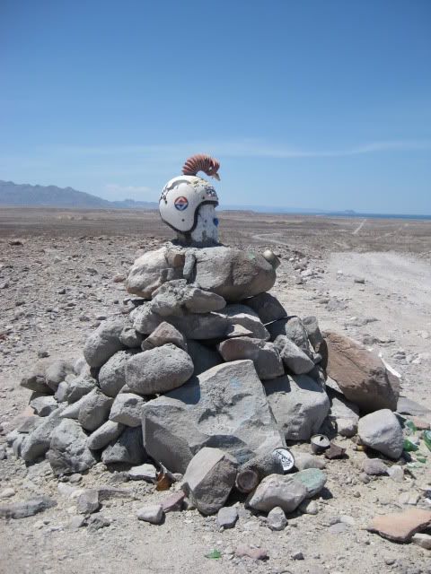
This monument was located south of the Punta Bufeo road.
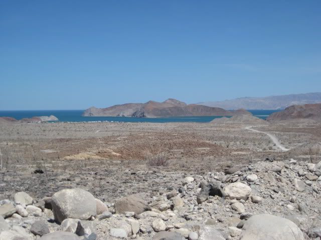
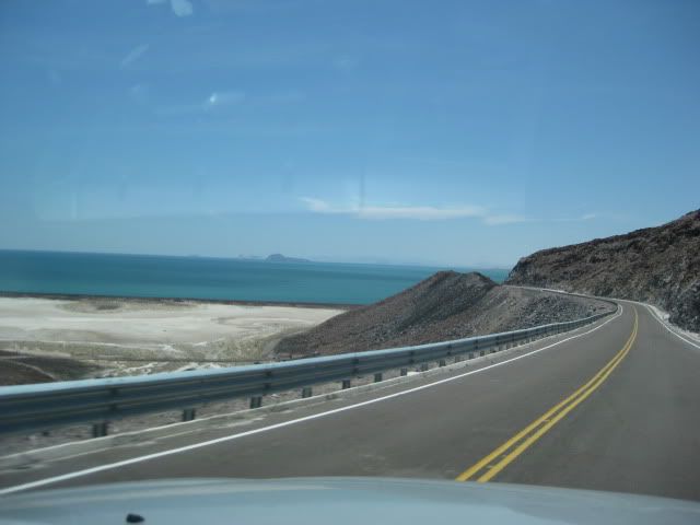
Bahia San Luis Gonzaga comes into view.
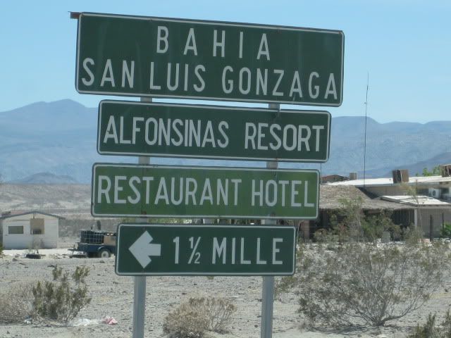
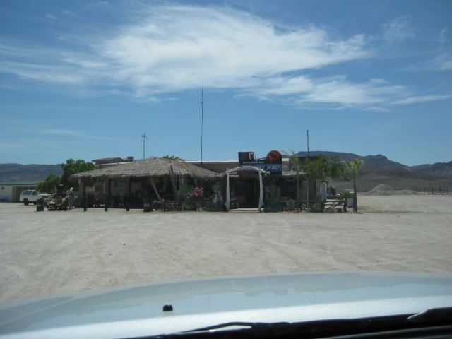
Rancho Grandes new store
has most everything. The Pemex station was closed for siesta (2-4 pm). We arrived at 2:30
However, I could easily make it
to Cataviña and probably to El Rosario on the tank I filled in San Felipe. It is just a good rule to always top your tank when you come to an open
Pemex in the remote parts of Baja California.
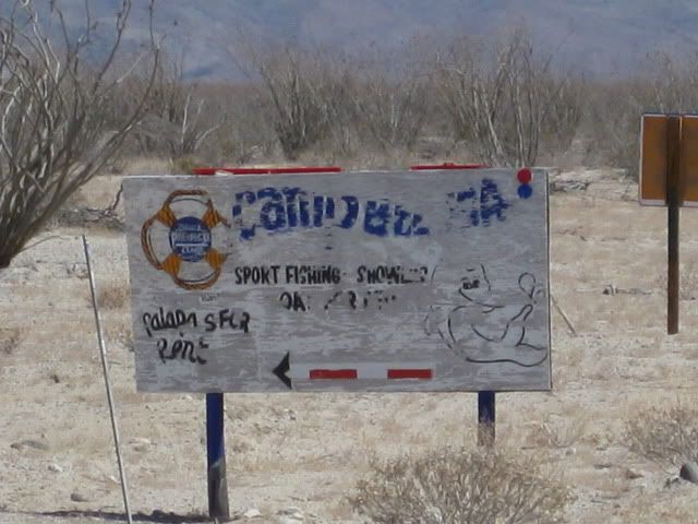
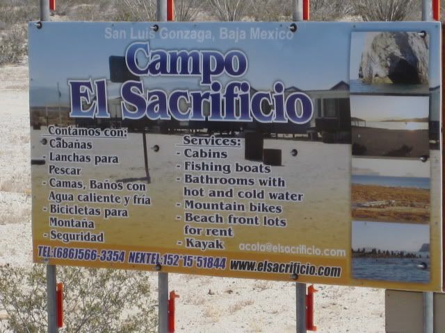 1.3 miles south of the Pemex and Rancho Grande store is the road to Campo Beluga and Sacrificio. 1.3 miles south of the Pemex and Rancho Grande store is the road to Campo Beluga and Sacrificio.
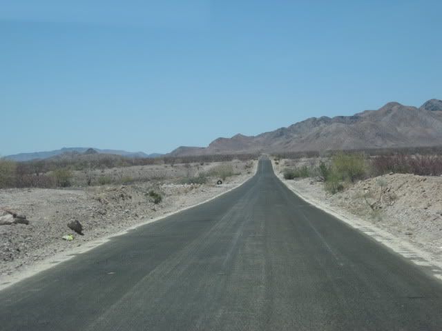
We drive away from Gonzaga Bay with the goal of reaching Baja Cactus in El Rosario, before dark!
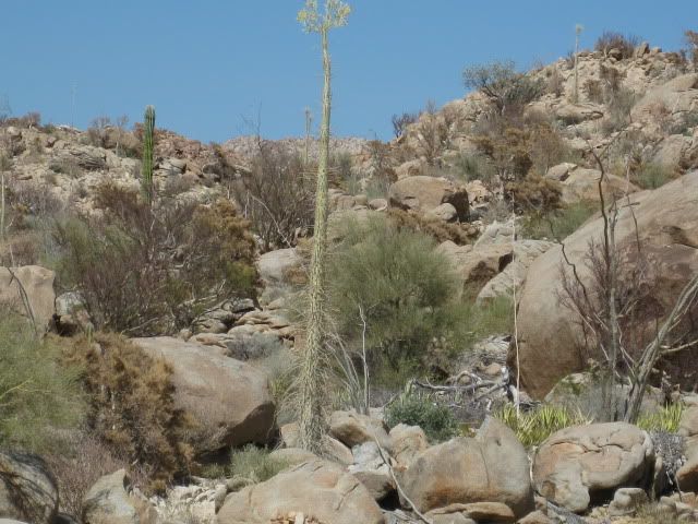
The first boojum trees come onto view.
Coming up next, Cocos Corner!
Stay Tuned!!
|
|
|
Udo
Elite Nomad
Posts: 6364
Registered: 4-26-2008
Location: Black Hills, SD/Ensenada/San Felipe
Member Is Offline
Mood: TEQUILA!
|
|
Looks like MEXTRANS finally learned how to build proper roads, Huh, David?
Thanks for part 3...and happy anniversary (however belated).
Udo
Youth is wasted on the young!
|
|
|
Mexitron
Ultra Nomad
Posts: 3397
Registered: 9-21-2003
Location: Fort Worth, Texas
Member Is Offline
Mood: Happy!
|
|
Thanks David--nice to see all the pics and get that feeling again!
|
|
|
David K
Honored Nomad
Posts: 65549
Registered: 8-30-2002
Location: San Diego County
Member Is Offline
Mood: Have Baja Fever
|
|
There are more photos... stay tuned for Part 4!
Here is the road log from Monday, July 19, 2010 (was posted on the Baja Road Conditions forum):
0.0 (0 min.) Puertecitos Entrance Road, sign ahead for Laguna Chapala.
5.2 (6 min.) Playa Cristina
6.2 La Costilla
17.6 (20 min.) El Huerfanito (off to east of highway, no sign)
18.5 Detour off pavement onto older road, regraded for construction traffic. Piles of sand on road mark this point, no sign. Ahead on pavement is sign
for Campo Tano at Mile 19.0. At 19.3 is a sign 'End of Pavement, 200 mtrs.'). At 19.5 is the absolute end at an unfinished bridge. No sign of road
work on the opposite side of arroyo. Road work does continue beyond, out of sight from here.
Return back to Mile 18.5, detour onto dirt... log continues from this point.
25.1 (34 min. from Puertecitos, not including run to end of pavement) End of new road construction alongside old road. Old road new grading ends...
very rough, rocky road on to Gonzaga. Motorhomes and trailers should avoid!
26.0 'Okie Landing' to east (note cement pads along end of gravel beach marking the fish camp of the 1960's.
33.1 (1 hr. 14 min.) Campo Delfines
36.3 (1 hr. 26 min.) Las Encantadas
37.9 (1 hr. 31 min.) Punta Bufeo
43.1 (1 hr. 59 min.) El Faro
43.4 (2 hr. 1 min.) Papa Fernandez' Bahia San Luis Gonzaga
Military Checkpont is just a mile + ahead.
46.1 (2 hr. 12 min.) Alfonsina's Pemex (closed from 2-4 pm), Rancho Grande Market just ahead on right.
Clear odometer for next section... The main road south from Gonzaga is much better than the road north, but the rough surface still limits maximum
speed to ~30 mph (twice that of the north section) in a Tacoma, loaded.
0.0 Rancho Grande 'Gonzaga Bay'
1.3 (8 min.) Road to Campo Beluga and Sacraficio
7.5 (22 min.) Road west to Arroyo Santa Maria and Las Palmitas oasis on the old mission trail 'El CaminoReal'
10.0 (28 min.) Road in from left is the south access route to Punta Final
16.7 La Turquesa Canyon road to west (green pools of water, turquoise mine, and very difficult off road and abandoned mine road shortcut to Hwy. 1
near El Pedregoso)
19.2 (52 min.) Las Arrastras site access road. Gold ore grinding mills, well, nearby waterhole of San Francisquito on the Camino Real.
23.0 (1 hr.) Coco's Corner (cold Pacifico for sale $2) Coco in Ensenada, helper Ramón on hand.
36.1 (1 hr. 30 min. driving time) HWY. 1, Laguna Chapala. Gasoline and tire repairs advertised, 1 km. south.
|
|
|
Bob H
Elite Nomad
Posts: 5867
Registered: 8-19-2003
Location: San Diego
Member Is Offline
|
|
Wow, more great photos. Campo El Sacrificio... another new camp area? Never heard of that one. Did you stop or just go on to MX1?
|
|
|
David K
Honored Nomad
Posts: 65549
Registered: 8-30-2002
Location: San Diego County
Member Is Offline
Mood: Have Baja Fever
|
|
| Quote: | Originally posted by Bob H
Wow, more great photos. Campo El Sacrificio... another new camp area? Never heard of that one. Did you stop or just go on to MX1?
|
We first saw signs for El Sacrificio in Feb., 2007 when we camped at Beluga... It is south of Beluga.
Preston posted photos of Sacrificio last month... here: http://forums.bajanomad.com/viewthread.php?tid=46146
We didn't take any side trips, as we were heading for BajaCactus for the night. Stay Tuned for the final part, Part 4!
|
|
|
Bob H
Elite Nomad
Posts: 5867
Registered: 8-19-2003
Location: San Diego
Member Is Offline
|
|
| Quote: | Originally posted by David K
| Quote: | Originally posted by Bob H
Wow, more great photos. Campo El Sacrificio... another new camp area? Never heard of that one. Did you stop or just go on to MX1?
|
We first saw signs for El Sacrificio in Feb., 2007 when we camped at Beluga... It is south of Beluga.
Preston posted photos of Sacrificio last month... here: http://forums.bajanomad.com/viewthread.php?tid=46146
We didn't take any side trips, as we were heading for BajaCactus for the night. Stay Tuned for the final part, Part 4! |
Wow, I totally missed that tread. Thanks
|
|
|
David K
Honored Nomad
Posts: 65549
Registered: 8-30-2002
Location: San Diego County
Member Is Offline
Mood: Have Baja Fever
|
|
The Nomad search engine works great... Of course, you need to know what to search for!
|
|
|
Lista
Junior Nomad
Posts: 52
Registered: 5-2-2010
Location: MT
Member Is Offline
Mood: (:
|
|
Longing for delfines..... thanks the pictures do the soul good!
|
|
|
Jaybo
Nomad
Posts: 240
Registered: 12-7-2009
Location: NW Oregon
Member Is Offline
Mood: Praying for Baja!
|
|
Yeah I was amazed at the photos of the road, with fog lines and shoulders! as long as they didn't just narrow up the road to allow for the fog lines..
heh
Those ARE shoulders aren't they? 
..Jay
| Quote: | Originally posted by Udo
Looks like MEXTRANS finally learned how to build proper roads, Huh, David?
Thanks for part 3...and happy anniversary (however belated). |
|
|
|
David K
Honored Nomad
Posts: 65549
Registered: 8-30-2002
Location: San Diego County
Member Is Offline
Mood: Have Baja Fever
|
|
De nada... One thing I should have mentioned was the outside temperature between Puertecitos and Gonzaga Bay was 112º for much of the drive along the
dirt section! Aty the military checkpoint, it was down to 105º!
|
|
|
David K
Honored Nomad
Posts: 65549
Registered: 8-30-2002
Location: San Diego County
Member Is Offline
Mood: Have Baja Fever
|
|
The final part, Part 4 is now posted: http://forums.bajanomad.com/viewthread.php?tid=46905
|
|
|
|


