David K
Honored Nomad

Posts: 65560
Registered: 8-30-2002
Location: San Diego County
Member Is Offline
Mood: Have Baja Fever
|
|
9-18-10: To Las Pintas Petros PART II (with signs to Tecate Border)
Continued from PART I here: http://forums.bajanomad.com/viewthread.php?tid=47965
(having so many photos in one thread was really slowing down the time to see the photos, so I divided the trip report into two posts to make viewing
fast and fun!)
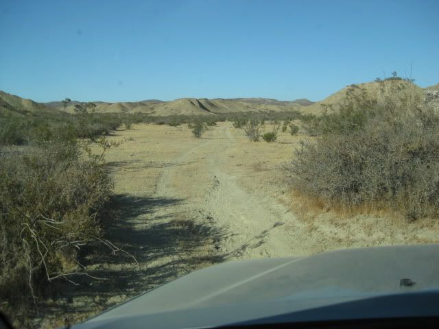
Now a 2WD might get to the lower Las Pintas site, but a good 4WD is a must for the top. There is a short section driving up a mud hill ridge top where
traction assistance will make it easy.
Near the end of where we could drive without getting too scratched up, we parked and began to explore... The road to the top is very faint.
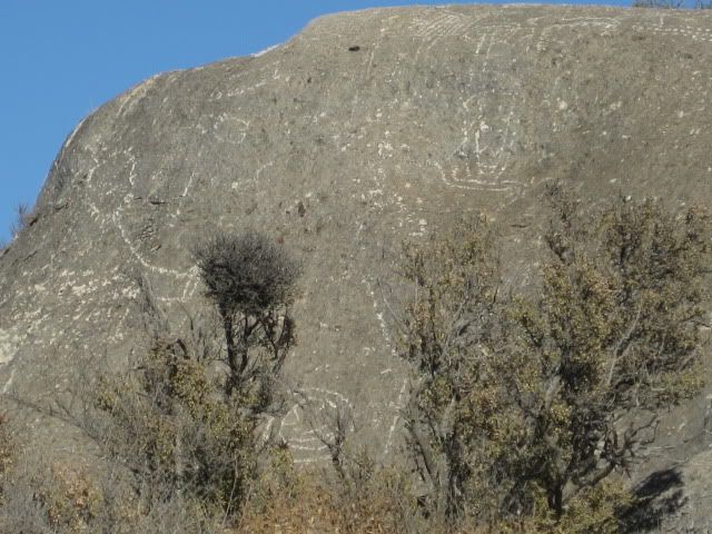
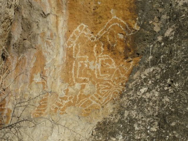
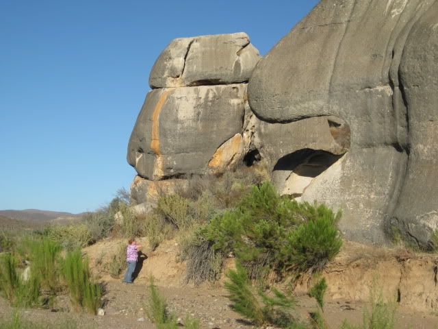
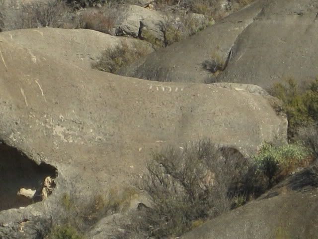
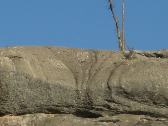
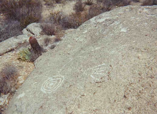
The closest petroglyphs were on this large boulder, which we have been to before, walking up here from the bottom of Las Pintas back in 2005.
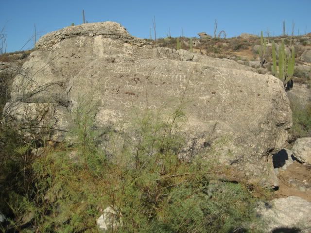
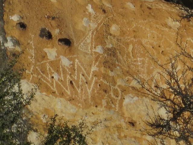
Close up...
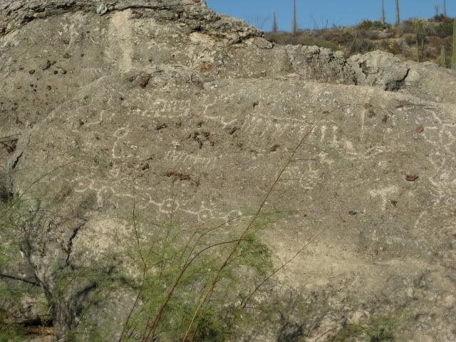
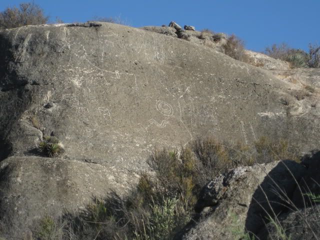
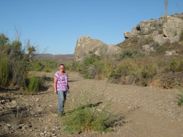
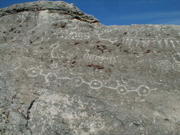
From here we walked east along the base of the boulders. The site reminded us of Montevideo (off the Mision San Borja road).
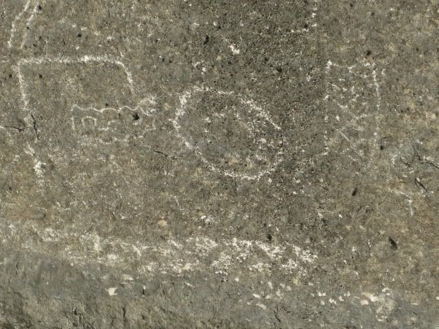
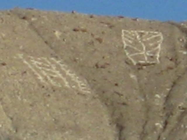
What was this one trying to say... Trix are for kids?...
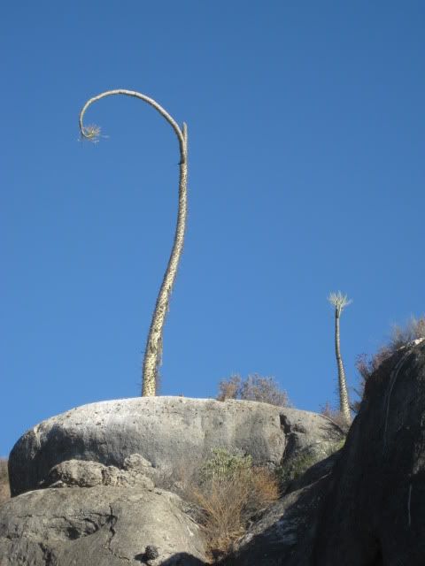
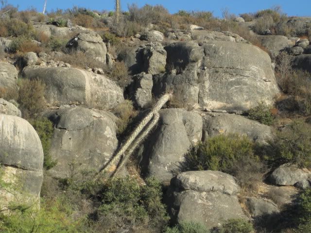
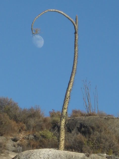
Lampost boojum tree!
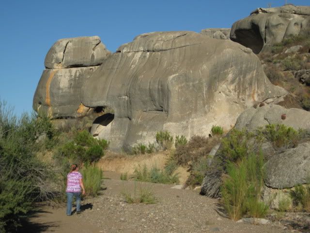
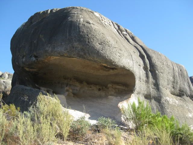
Quite an overhang... below the large nose!
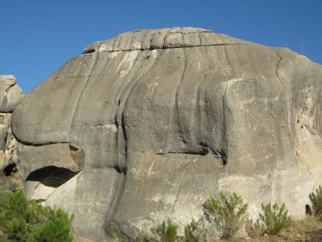
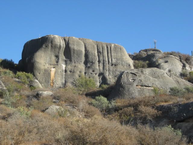
There are petros all over this and other boulders up here...
-------------------------------------------------------------
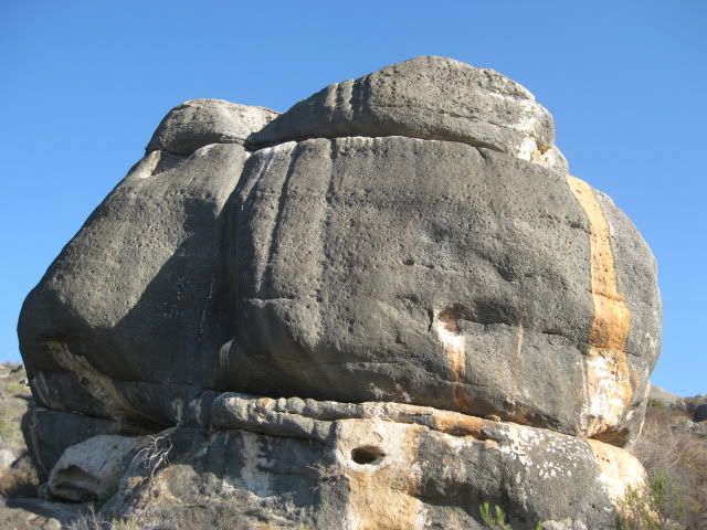
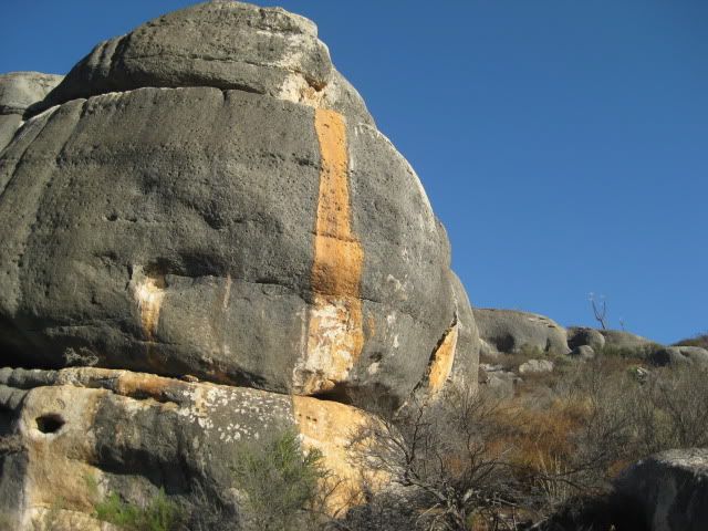
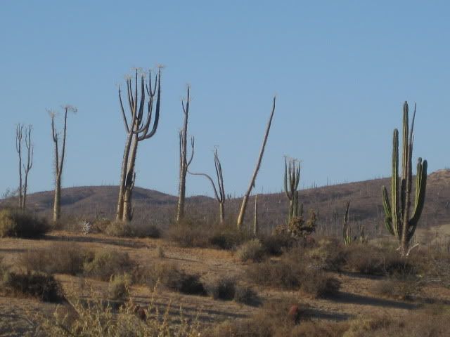
Big rock country...
A toppled tall boojum... perhaps from the big January storm?...
It was getting late, and the street lamps were coming on...
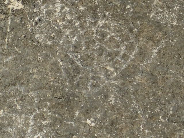
This was pretty cool!
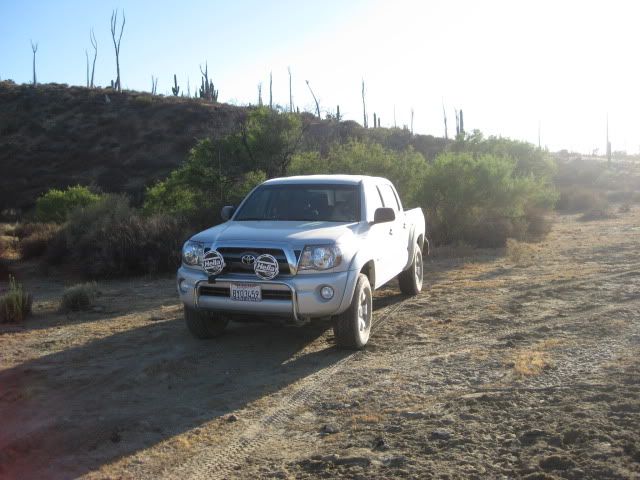
Back at our truck.
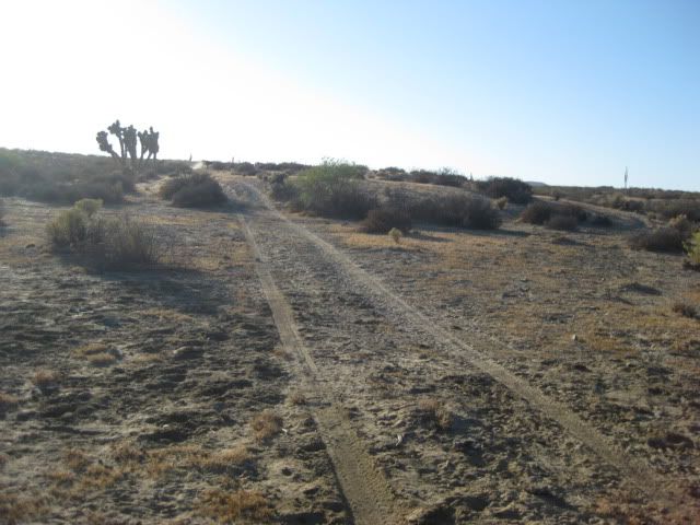
Here's the road home.
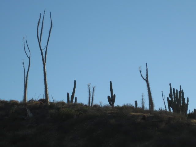
The boojum trees and cardons wave goodbye!
Back at our room at Baja Cactus Motel, El Rosario... a surprise!
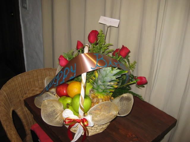
Antonio ('Baja Cactus') is awesome! Thanks amigo!!
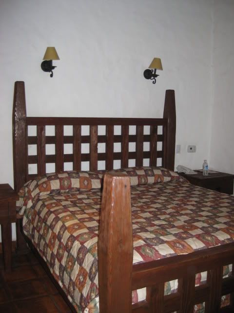
The rooms at Baja Cactus are amazing! Comfortable king size beds with custom pillow-top mattress, telephone, 24 hour desk clerk, free bottled water
and coffee maker... for under $39! Massage service in your room is available... Baja Angel and I both had one when we stayed here on our anniversary,
last July!
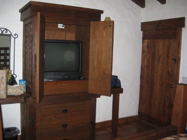
10 Satellite TV channals (1/2 in English)
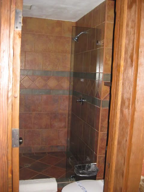
Giant showers with room for two or more! LOL (water pressure is boosted at the motel for good showers)
We topped our gas tank at El Rosario for the 315 mile trip home (via Tecate).
The trip down we left San Marcos with a full tank and it was 283 miles to El Rosario (229 miles from the border at Otay)... I topped the tank with 56
liters (14.8 gallons) giving me 19.1 MPG.
A day of four wheeling and highway driving on Saturday totaled 122 miles and used 26.2 liters (6.9 gallons) giving 17.7 MPG!
The price of gas at El Rosario was 8.21 peso per liter and it was 12 pesos per dollar, making gas about $2.62/ gallon. Premium was 9.59/ liter. The
cheaper gas back home was $2.899/ gallon (ARCO).
The 314 mile drive home via Tecate we got 18.0 MPG.
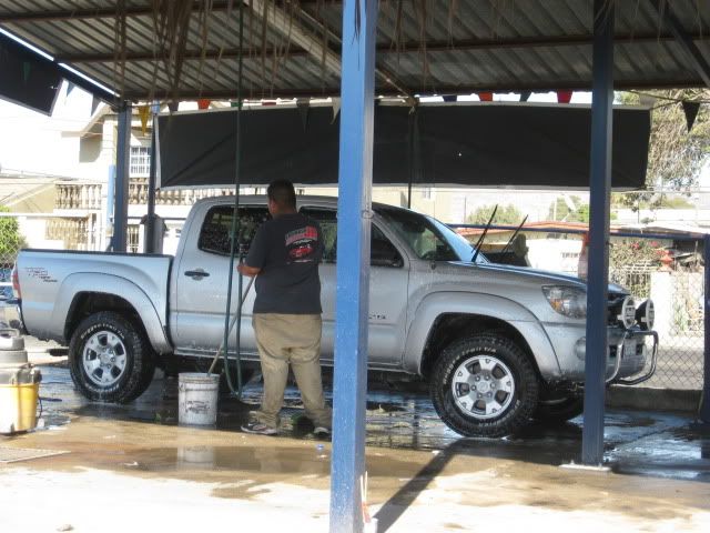
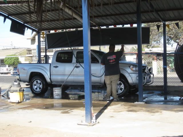
In Ensenada, we got the truck washed (border agents can get fussy if you have too much dirt on your vehicle!)... was 60 pesos ($5).
We took the free road north for Ensenada, and as before, it was in great shape and very little traffic. At Popotla, we hopped onto the Corredor 2000
for 18 miles to the free Tecate highway (Mex. 2) which is 4 lanes wide all the way... only a couple of traffic lights until Tecate, as well. Popotla
to the Tecate Border was 38 miles.
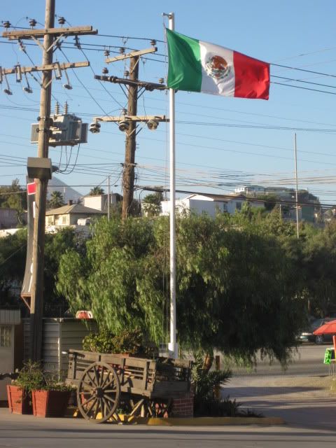
Mexican Independence day was Sept. 16, and many flags were flying, including this nice display at the Pemex station in El Florido.
The Toyota Tacoma Factory is passed along Highway 2... this is where my truck was made! 'Built in Baja for the Baja!'
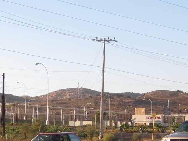
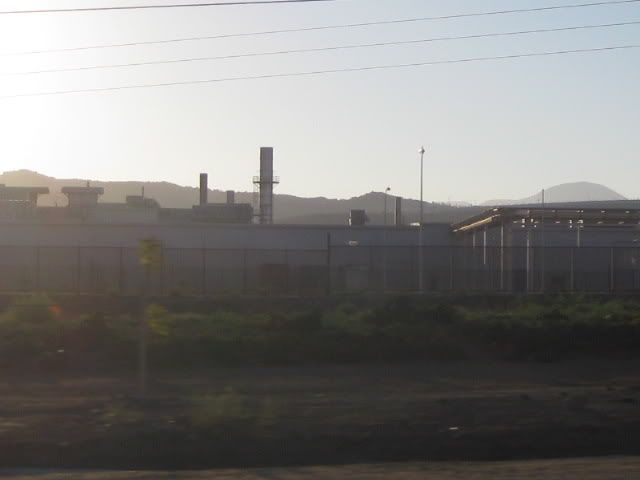
No place to pull over, so a bit blurred!
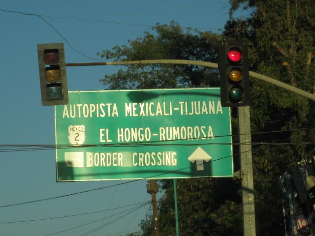
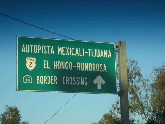
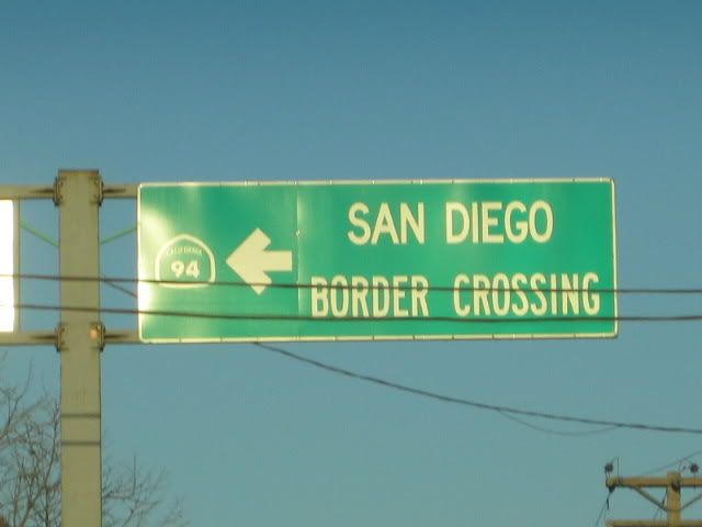
Here are some of the signs as you drive through Tecate showing you the way to the U.S. border:
We were in line for 20 minutes, around 6:30 pm Sunday... easy!
So, if you want some adventure and luxury I recommend the sites around El Rosario, with a stay at the Baja Cactus Motel! Las Pintas is a petroglyph
paradise,and while I took many photos, it doesn't take the place of being there. There are many petros and fossils I did not show, that you will find!
I have been going to Las Pintas starting 10 years ago, and I am still seeing new things!
[Edited on 9-25-2010 by David K]
|
|
|
David K
Honored Nomad
Posts: 65560
Registered: 8-30-2002
Location: San Diego County
Member Is Offline
Mood: Have Baja Fever
|
|
Las Pintas over the years...
In 2000, with Lorenzo de Baja:
http://www.vivabaja.com/davidlorenzo/dlpage2.html
----------------------------------------------------------------------------
In 2001, with the BBBB-1 and Viva Baja Van gang:
http://www.vivabaja.com/van1/page4.html

That's Amo Pescar!
-----------------------------------------------------------------------------
In 2005, with Baja Angel:
http://vivabaja.com/pintas/

-----------------------------------------------------------------------------
In 2006, with my son Chris:
http://vivabaja.com/406/page5.html
We still haven't seen the water flowing here, as shown in The Baja Adventure Book!
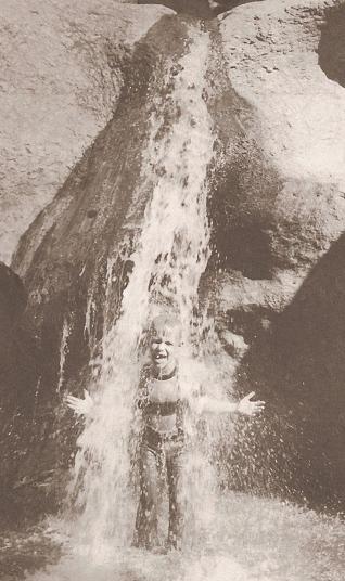
But, Chris waited for it...

-----------------------------------------------------------------------------
In 2007, with some of the Nomads attending the Baja-Rosario Cultural Festival:
http://vivabaja.com/707/


|
|
|
David K
Honored Nomad
Posts: 65560
Registered: 8-30-2002
Location: San Diego County
Member Is Offline
Mood: Have Baja Fever
|
|
Just having a look back at our last Baja adventure. Merry Christmas amigos.
|
|
|
Ken Cooke
Elite Nomad
Posts: 8971
Registered: 2-9-2004
Location: Riverside, CA
Member Is Offline
Mood: Pole Line Road postponed due to injury
|
|
Impressive Photos!
Especially the one of Chris standing in the "waterfall" 
So, what is the drive time from El Rosario to these rock sites??? 
|
|
|
David K
Honored Nomad
Posts: 65560
Registered: 8-30-2002
Location: San Diego County
Member Is Offline
Mood: Have Baja Fever
|
|
| Quote: | Originally posted by Ken Cooke
Especially the one of Chris standing in the "waterfall"
So, what is the drive time from El Rosario to these rock sites???
|
The following is on the last page of http://vivabaja.com/pintas
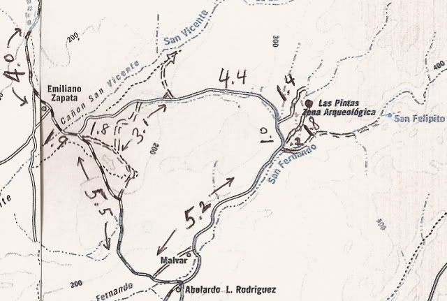
DIRECTIONS
Highway 1, southward from El Rosario 14.6 miles (between Km. 80-81), turn right at the left curve. GPS: 30°01.59', 115°32.05' (Map datum set to 'NAD27
Mexico')
Go 17.4 miles on the good graded dirt road to a single track road going left. If passed, just ahead is a ranch house on the right and there is a
second left road that joins the first. Set odometer to '0.0'. GPS: 29°49.64', 115°28.42'.
Pass ranch houses ('Malvar') and make an 'S' turn right, into Arroyo San Fernando. You soon will be reach a (possibly) closed gate at Mile 3.5. Always
re-close any gate after you pass through.
Mile 5.2, (GPS: 29°52.53', 115°25.22') turn LEFT off of Arroyo San Fernando road, and follow a small side arroyo. Brush may scratch your vehicle in
here.
Mile 5.4, (GPS: 29°52.69', 115°25.26') turn RIGHT, out of small arroyo and cross low divide to small valley.
Mile 7.2 LAS PINTAS parking area. GPS: 29°53.90', 115°24.48', elev. 755'. You are 24.6 miles from Highway 1 and 39.2 miles from El Rosario's Baja
Cactus Motel and Pemex gas station, per my odometer.
====================================================
These time guesses include photo stops...
Hwy. 1 for 14.6 miles = 30 min.
San Carlos Road for 17.4 miles = 45 min.
Las Pintas road for 7.2 miles = 30 min.
|
|
|
Ken Cooke
Elite Nomad
Posts: 8971
Registered: 2-9-2004
Location: Riverside, CA
Member Is Offline
Mood: Pole Line Road postponed due to injury
|
|
You forgot, I can't READ!
| Quote: | Originally posted by David K
| Quote: | Originally posted by Ken Cooke
Especially the one of Chris standing in the "waterfall"
So, what is the drive time from El Rosario to these rock sites???
|
The following is on the last page of http://vivabaja.com/pintas |
|
|
|
David K
Honored Nomad
Posts: 65560
Registered: 8-30-2002
Location: San Diego County
Member Is Offline
Mood: Have Baja Fever
|
|
I know, I know... sorry!  
|
|
|
David K
Honored Nomad
Posts: 65560
Registered: 8-30-2002
Location: San Diego County
Member Is Offline
Mood: Have Baja Fever
|
|
Looking for Ken
|
|
|
|


