| Pages:
1
2 |
David K
Honored Nomad
        
Posts: 65434
Registered: 8-30-2002
Location: San Diego County
Member Is Offline
Mood: Have Baja Fever
|
|
LOST MISSION EXPEDITION 2011 (PART 1 of 6)
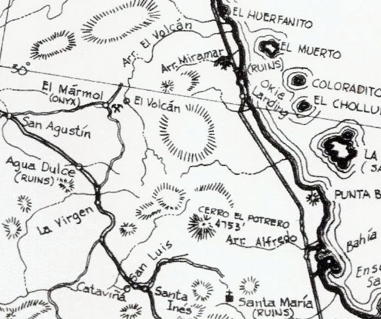
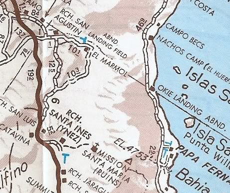
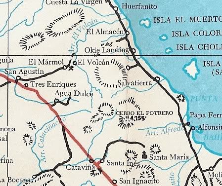
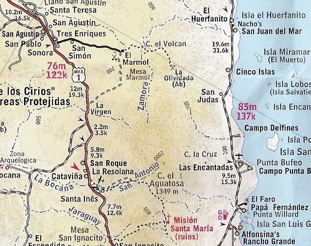
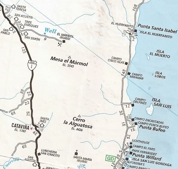
Primer: Does everyone know where Arroyo El Volcan is or at least where where El Marmol onyx quarry is?
El Marmol is 9 miles from Hwy. 1 at Km 148/149 between El Rosario and Cataviña.
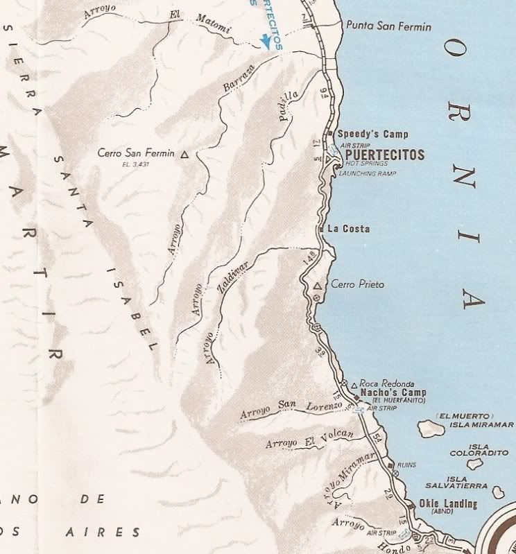
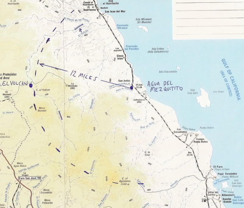
The arroyo is 4 miles from El Marmol and flows to the Gulf of California just south of El Huerfanito. The Mexican topo maps have mis-labled the arroyo
as 'Zamora' and called the next arroyo south 'El Volcan'!
El Volcan is a cold water geyser and an area of soda springs where onyx is slowly being formed. Much onyx is in the area, as well. The geyser is less
than a half mile south of the road, in the arroyo. The lost mission site discovered by elbeau is 4 miles to the north.
Some maps:
PART 1 (Friday April 29)
My fellow adventure seeker was Baja Nomad member ‘El Vergel’ (Vern) from the Los Angeles area and the beach campo south of San Felipe. ‘Baja Cat’
(José) who waited for us just across the border at Otay Mesa joined and traveled along with us on Friday.
The drive south was easy and fun.
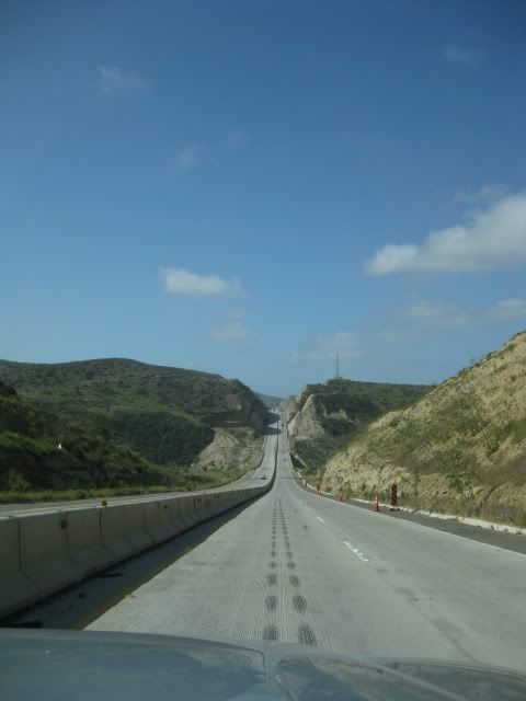
Corredor 2000 zips you around Tijuana to or from Otay or Tecate (Vern Pic)
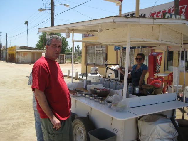
We stopped for lunch in San Vicente at a taco cart operated by Gloria, who served us ‘tacos de borrego’ (lamb tacos) along with a cup of consommé de
borrego to which we added onions and salsa… YUM
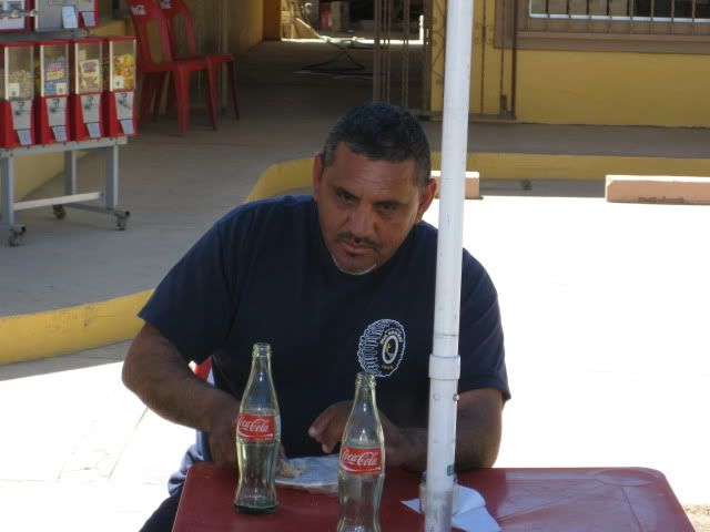
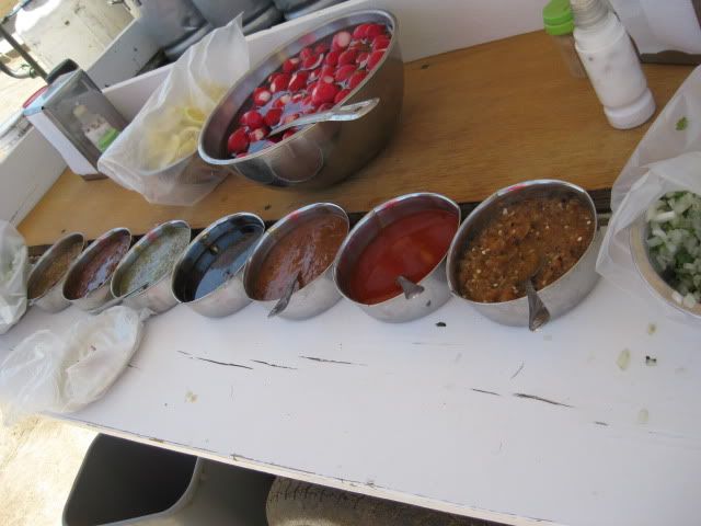
We arrived in El Rosario about 2:30 to fill our gas tanks and buy a few cases of Tecate and Dos Equis cerveza. I also wanted to show Vern the rooms at
Baja Cactus Motel as they are so outstanding given the location and typical highway accommodations usually found in Baja. We also saw Itzel’s mother
who reported her daughter as doing fantastic following the heart surgery of several months ago.
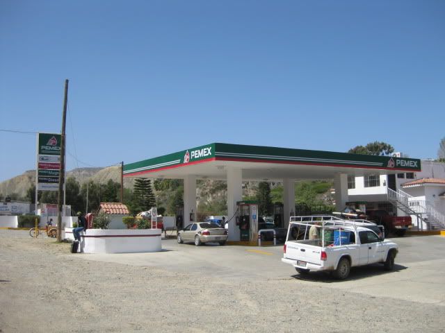
Baja Cactus Pemex (Vern Pic)
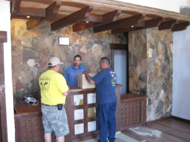
Baja Cactus Motel front desk (Vern Pic)
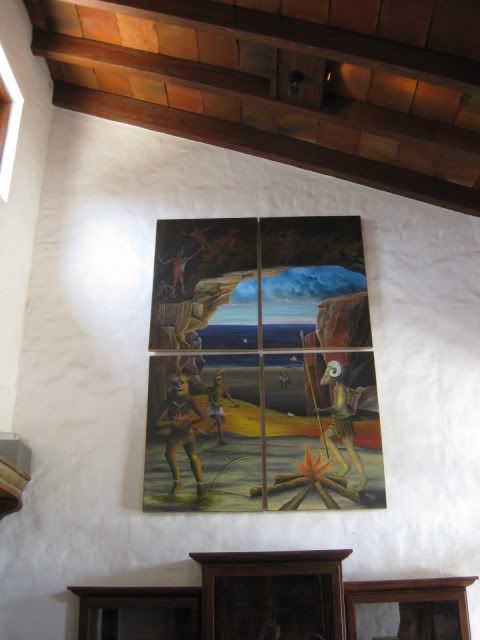
Hugo Lopez art at Baja Cactus (Vern Pic)
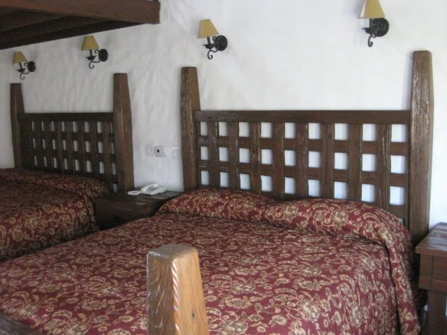
Baja Cactus room (Vern Pic)
Fuel prices in Baja (below the border region) were 8.77 pesos per liter for Magna and 9.87 for Premium. The exchange rate at Baja Cactus was 11.20
pesos per dollar and in Ensenada on Sunday was 11.00 pesos per dollar… both close to $3.00 per gallon.
The 56 mile drive down Highway One to the El Marmol road was a breeze and the signed road was between the 148 and 149 kilometer markers. The next 9
miles to El Marmol are dirt, but some of the easiest dirt miles in Baja and would be a breeze for most vehicles.
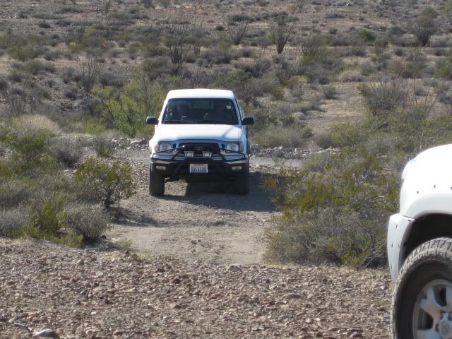
We stopped to take new photographs of the schoolhouse ruins and cemetery before the final leg of today’s drive down to Arroyo el Volcan. I heard the
sound of a speeding Toyota Tacoma and it was ‘TW’ (Tom) and his brother Bill arriving from an ice run to Cataviña (20 miles distant). José, Vern and I
followed them down to the campsite in Arroyo El Volcan, 4 miles from El Marmol.
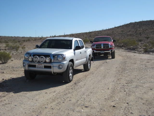
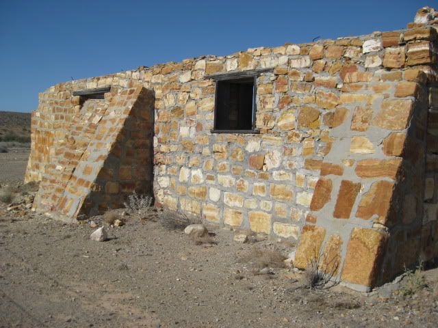
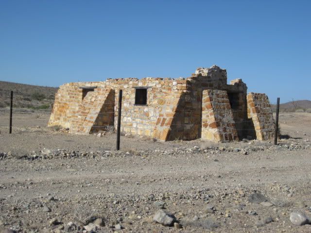
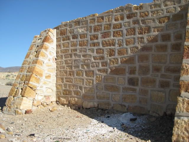
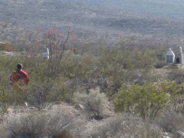
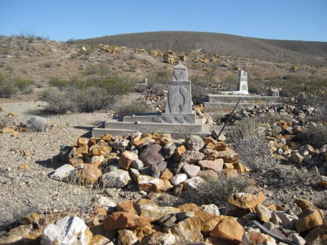
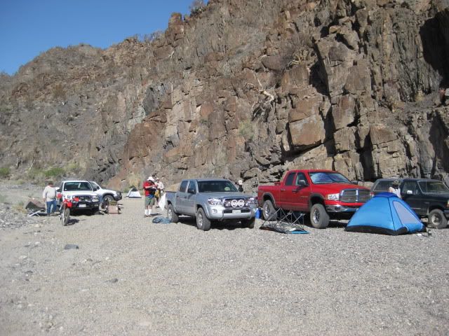
Already there was ‘bajalou’, ‘dtbushpilot’ (David) and ‘XRPhlang’ (Phil) on the sand/gravel arroyo at the base of a giant rock face. That evening was
plenty fun discussing just why the hell we all drove hundreds of miles and spent hundreds of dollars to be in such a place! It was great!
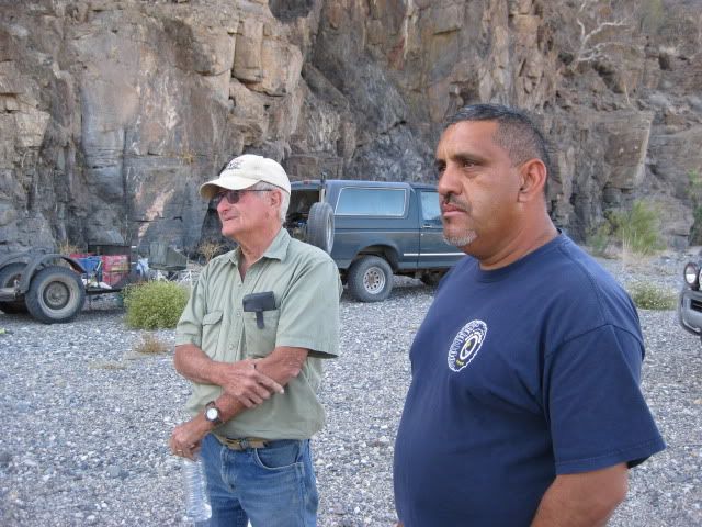
'bajalou' and 'BAJACAT'
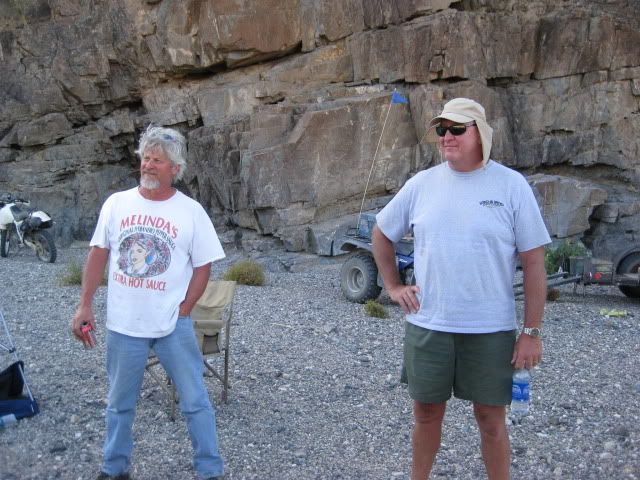
'XRPhlang' (Phil) and 'dtbushpilot' (David)
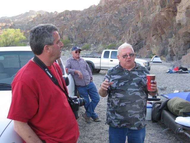
'El Vergel' (Vern), Bill W and 'TW' (Tom)
[Edited on 5-12-2011 by David K]
|
|
|
ddawson
Nomad
 
Posts: 103
Registered: 9-6-2010
Location: Hilo
Member Is Offline
|
|
Nice! Can't wait for the rest.
|
|
|
toneart
Ultra Nomad
    
Posts: 4901
Registered: 7-23-2006
Member Is Offline
Mood: Skeptical
|
|
David K,
I just missed you guys by a few hours. On Thursday night I stayed at the Baja and met DT Bushpilot. He told me what you guys were going to do. I had
just missed TW, who ate at Mama's and left before I heard he was there.
It sounds like a fun venture. I was headed north after being in Mulege for three months.
Tony
|
|
|
David K
Honored Nomad
        
Posts: 65434
Registered: 8-30-2002
Location: San Diego County
Member Is Offline
Mood: Have Baja Fever
|
|
| Quote: | Originally posted by toneart
David K,
I just missed you guys by a few hours. On Thursday night I stayed at the Baja and met DT Bushpilot. He told me what you guys were going to do. I had
just missed TW, who ate at Mama's and left before I heard he was there.
It sounds like a fun venture. I was headed north after being in Mulege for three months.
Tony |
Hi Tony, it was fun but my body is still sore 3 days later! Looks like we still need to hear from Phil and the other's trip reports.
It is fun to read how we each experienced something either different or special or unique... I am looking forward to reading the other's trip reports.
Part 2 is next: The Hike
|
|
|
LaTijereta
Super Nomad
   
Posts: 1192
Registered: 8-27-2003
Location: Loreto
Member Is Offline
|
|
El Rosario
Hey DK.. Just missed you guys at El Rosario Pemex.. You guys pulled out, as I was coming down the hill to turn in for gas (heading South to Loreto). I
remember seeing the trucks turn into Baja Cactus, but was aware it was you guys.
Look forward to your adventure report.. I am back down in Loreto through June..
Democracy is like two wolves and a lamb voting on what to have for lunch. Liberty is a well-armed lamb contesting the vote.
Ben Franklin (1759)
|
|
|
David K
Honored Nomad
        
Posts: 65434
Registered: 8-30-2002
Location: San Diego County
Member Is Offline
Mood: Have Baja Fever
|
|
| Quote: | Originally posted by LaTijereta
Hey DK.. Just missed you guys at El Rosario Pemex.. You guys pulled out, as I was coming down the hill to turn in for gas (heading South to Loreto). I
remember seeing the trucks turn into Baja Cactus, but was aware it was you guys.
Look forward to your adventure report.. I am back down in Loreto through June.. |
Very cool Kris!
Yes, I wanted to show Vern the rooms at Baja Cactus plus drop off a case of Mike Humfreville's books for Antonio's guests to continue to receive
copies... Did Ken Cooke also try and hit you near Colonet???  
|
|
|
David K
Honored Nomad
        
Posts: 65434
Registered: 8-30-2002
Location: San Diego County
Member Is Offline
Mood: Have Baja Fever
|
|
LOST MISSION EXPEDITION PART 1-B (The Hike Begins)
TW made a batch of grits to supplement our morning diet and we secured camp for the day's hike. It looked on the map to be about 3-4 miles down the
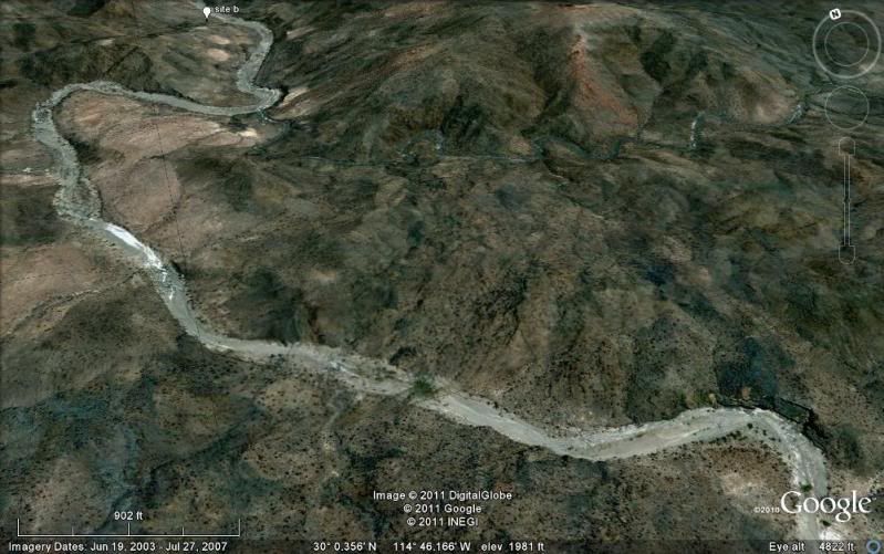
arroyo to the primary site of elbeau's Santa Isabel (arches, stairways, fountains). I called the location 'site B' on my Google Earth map. Our camp
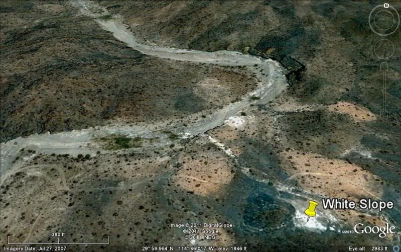
was just a few hundred feet down the wash from the El Marmol-La Olvidada mine road (which was totally graded very recently).
The last photo posted above in Part 1 was the morning showing our camp.
Our camp was in the arroyo, on the left of this image:
The site (white tag 'site B') was exactly a 4 mile hike away:
We begin the hike:
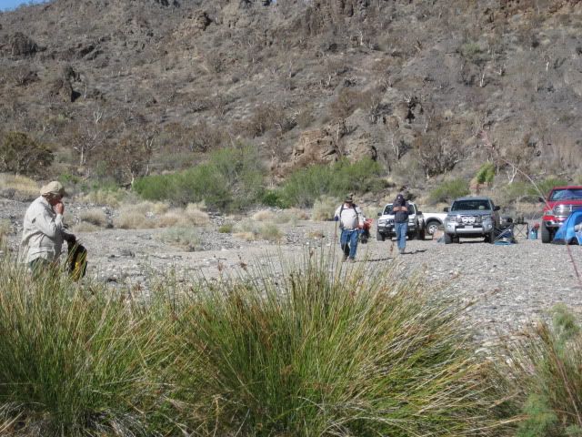
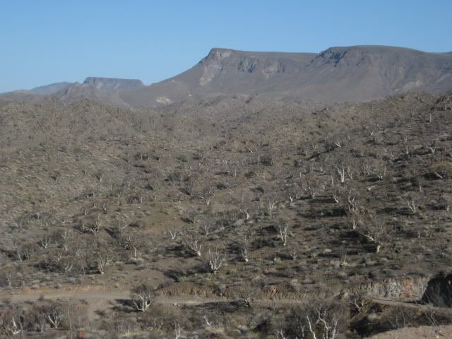
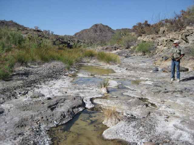
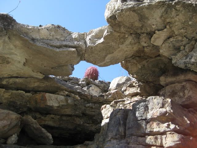
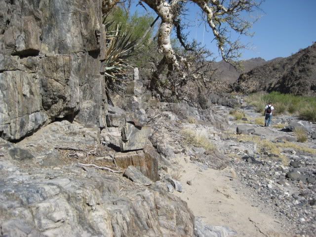
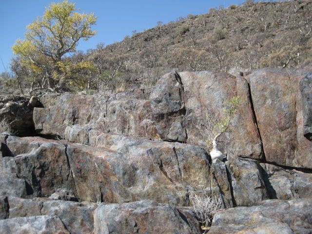
The arroyo of El Volcan was extremely interesting and is well worth the visit (even without a lost mission)! I will let my photos do most of the story
telling...
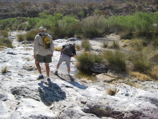
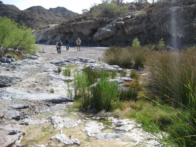
Water in small amounts was near our camp and oozing out of a cliff at the first big bend.
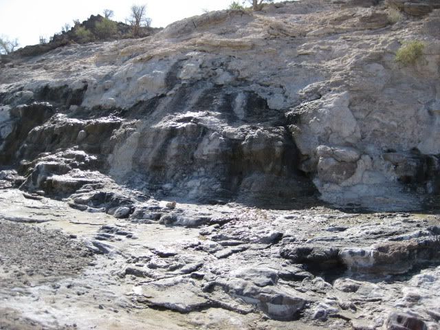
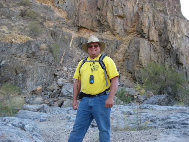
David K, always happy to be in Baja!
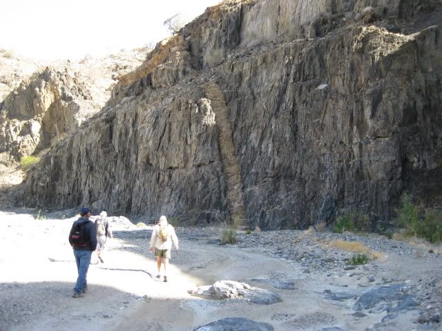
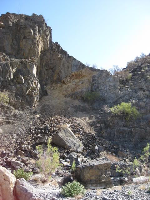
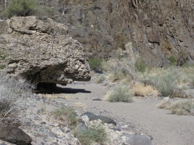
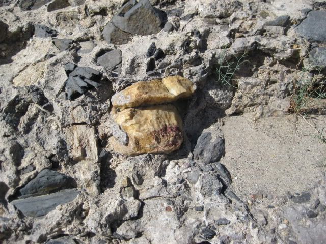
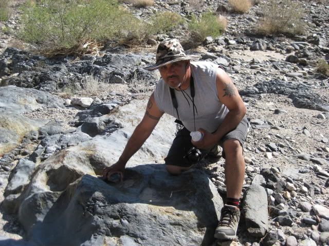
A piece of onyx trapped in newer rock, along the arroyo.
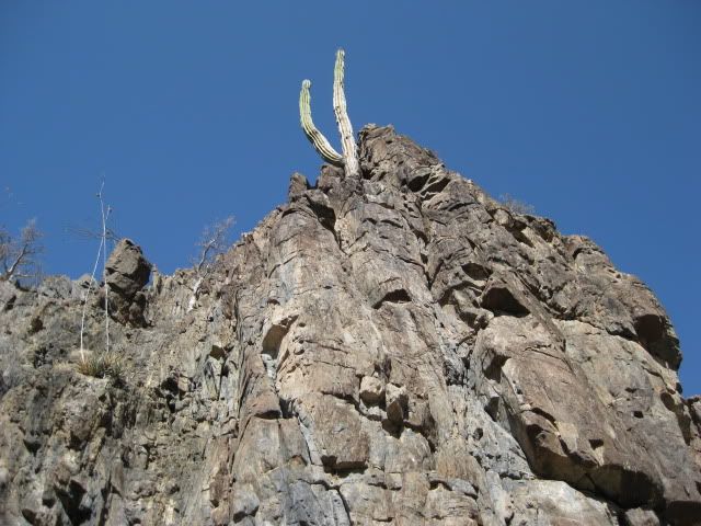
To Be Continued!...
HERE: http://forums.bajanomad.com/viewthread.php?tid=52735
[Edited on 5-5-2011 by David K]
|
|
|
shari
Select Nomad
      
Posts: 13052
Registered: 3-10-2006
Location: bahia asuncion, baja sur
Member Is Offline
Mood: there is no reality except the one contained within us "Herman Hesse"
|
|
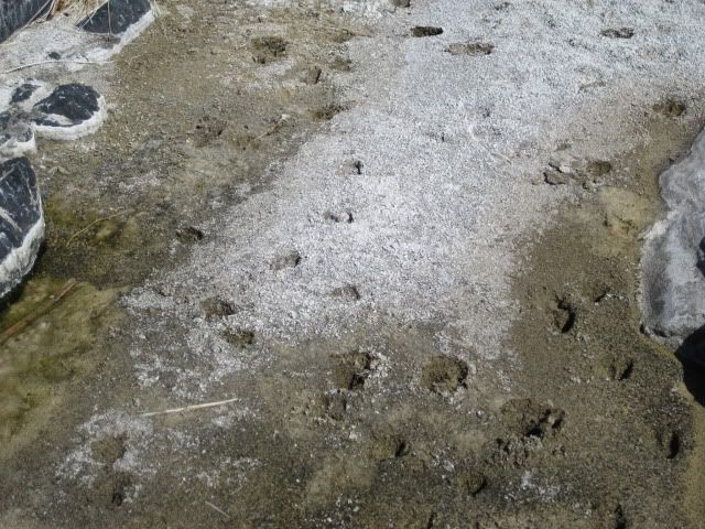
nice canyon....what were the tracks in the sand there? Looks like you boys had fun...good adventure...well done.
|
|
|
David K
Honored Nomad
        
Posts: 65434
Registered: 8-30-2002
Location: San Diego County
Member Is Offline
Mood: Have Baja Fever
|
|
Borregos would be my guess... but I would appreciate confirmation by a track expert. There are more track photos I believe, and we also saw a couple
of jaw bones with teeth from mountain sheep, perhaps.
I gotta get to work, so stay tuned for more later!
|
|
|
LaTijereta
Super Nomad
   
Posts: 1192
Registered: 8-27-2003
Location: Loreto
Member Is Offline
|
|
| Quote: | Originally posted by David K
| Quote: | Originally posted by LaTijereta
Hey DK.. Just missed you guys at El Rosario Pemex.. You guys pulled out, as I was coming down the hill to turn in for gas (heading South to Loreto). I
remember seeing the trucks turn into Baja Cactus, but was aware it was you guys.
Look forward to your adventure report.. I am back down in Loreto through June.. |
Very cool Kris!
Yes, I wanted to show Vern the rooms at Baja Cactus plus drop off a case of Mike Humfreville's books for Antonio's guests to continue to receive
copies... Did Ken Cooke also try and hit you near Colonet???   |
Never noticed if Ken tried to take me out... I was moving along on a fast track
I left Ensenada around Noon, and was on a straight drive through to Loreto, so not a lot of stops but for gas...
Democracy is like two wolves and a lamb voting on what to have for lunch. Liberty is a well-armed lamb contesting the vote.
Ben Franklin (1759)
|
|
|
bajalou
Ultra Nomad
    
Posts: 4459
Registered: 3-11-2004
Location: South of the broder
Member Is Offline
|
|
| Quote: | Originally posted by shari
nice canyon....what were the tracks in the sand there? Looks like you boys had fun...good adventure...well done. |
This is Cimarron country, Baja Rams, mountain goats. A ewe and her lamb is what I suspect.
No Bad Days
\"Never argue with an idiot. People watching may not be able to tell the difference\"
\"The trouble with doing nothing is - how do I know when I\'m done?\"
Nomad Baja Interactive map
And in the San Felipe area - check out Valle Chico area |
|
|
bajalou
Ultra Nomad
    
Posts: 4459
Registered: 3-11-2004
Location: South of the broder
Member Is Offline
|
|
Lost Mission expedition
AT around 10am Thurs. Apr 28, I'm finally out of the house. A couple of short errands and heading for the highway. Nice day - sunny and warm, as I
like it. Filled up the fuel , ice and water yesterday so no stops in town. Just drive on south on Highway 5 - good pavement. Looked for the islands
when I passed Baja Warrior's place but the dunes are higher than the highway so couldn't see anything of interest. Stopped and Bahia Christina to
drop some stuff off at friends camped there who were exploring the canyons from the east.
Pavement ends same place it did last fall but a lot of work going on south of there for 8-10 miles. Culverts, bridges being built. Good detour.
Some roadway almost finished from the looks of it. Road on to Gonzaga not too bad some washboard some rocky but really no problem areas. Lots of
stops to check tiedowns etc. on the trailer
Fill up at Gonzaga Pemex. Regular 9.7 pesos per liter - so much for all Pemex prices the same except border areas.
On to Coco's and get a coke. The guy there said Coco was in Ensenada getting some more operations on his stumps, but doing OK. On to Highway 1 and
the road not too bad (better than the one north of Gonzaga. More tiedown checking.
Highway 1 was good - few potholes so making great time. Looking for turnoff to El Marmol and see a sign "El Marmol 15K" but miss seeing the turn so
figure I've overshot at St. Agustine and return and find the road. Nine miles of dirt road - pretty good dirt road at that - and I'm at the onyx
school house. I don't stop, just glance around and head on out on the road east. Wind down into the wash (about 6 miles I think) and come to the
wash we're looking for.
Tracks to the right (upstream) and tracks to the left (downstream) ? Turn up and get out and walk a ways and see the tracks end so back to the
Bronco. Walking by the trailer and see the right front tire on the quad is flat - and a hole about 2 in wide and 6 inches long. Mmmm don't think I
can plug it. Turn around and head back to the road and stop and honk the horn. A coupe minutes and I hear "Hey - you must be a Nomad". "Yes I am"
I reply and it's Phil, XRPHLANG. We remember meeting before on one of the Nomad President's day trips Baja Cat had set up.
He guided me across the rocks to where he had stopped to camp - looked good to me so I pulled in and shut it down. About 5 minutes later while we're
chatting, we hear another Toyota aproach and it's TW and his brother Bill. They pull in and decide this is the spot so unload and get camp set up. I
unhitch the trailer and unload the Bronco (my bedroom for the weekend). They said they had seen dtbushpilot in El Rosario and he would be in the
next morning. I had breakfast with Ken Cook and wife and Aaron in San Felipe on Monday and they promised to be stopping by around noon on Fri.
We eat and sit around talking. Save the firewood for later. I got out a computer and we looked at the Google Earth shots of the area - where we were
and where we were going and called it a night. Some wind and kind of cool but not too bad.
Tomorrow - we'll check out the old mine road and see????
No Bad Days
\"Never argue with an idiot. People watching may not be able to tell the difference\"
\"The trouble with doing nothing is - how do I know when I\'m done?\"
Nomad Baja Interactive map
And in the San Felipe area - check out Valle Chico area |
|
|
David K
Honored Nomad
        
Posts: 65434
Registered: 8-30-2002
Location: San Diego County
Member Is Offline
Mood: Have Baja Fever
|
|
Hi Lou, good to read your Part 1!
I will modify the post title... Great fun...
I just got in from a full day working in the heat wave we are having in San Diego (very nice for my business)!
I will add more photos of Saturday's hike very soon!
Yes, I still have some sore joints and muscles from the big hike!!
|
|
|
805gregg
Super Nomad
   
Posts: 1344
Registered: 5-21-2006
Location: Ojai, Ca
Member Is Offline
|
|
Those missions are not lost just abandoned, and for good reasons.
|
|
|
David K
Honored Nomad
        
Posts: 65434
Registered: 8-30-2002
Location: San Diego County
Member Is Offline
Mood: Have Baja Fever
|
|
| Quote: | Originally posted by 805gregg
Those missions are not lost just abandoned, and for good reasons. |
You are confused... An abandoned mission is one that really existed with historic documentation... There were 27 in what we now call the peninsula of
Baja California... The list, GPS, brief history, photos of most, directions, satellite images can all be found on my web site: http://vivabaja.com/bajamissions
It was abandoned because it either served its purpose, the site no longer was satisfactory, or mostly because the people that it was built to convert
and serve were no longer alive in any quantity.
A 'LOST MISSION' is a fable, legend, story (most likely), perhaps based on some facts or shown on at least one map drawn during mission times.
The most popular lost mission story is Santa Isabel.
Missions shown on Jesuit maps that some think are lost include: San Juan Bautista (in the Sierra Santa Clara, west of San Ignacio), Dolores del Norte
(actually just an early name assigned for the mission that would become Santa Gertrudis, but applied to the visita at San Pablo or San Francisco de la
Sierra ruins by some), and Santa Maria Magdalena shown between Santa Gertrudis and Bahia de los Angeles on a 1757 map and Jesuit list of missions in
the 1740's (the name wrongly applied to visita ruins of 'Magdalena' north of Mulege). See http://vivabaja.com/109
[Edited on 5-4-2011 by David K]
|
|
|
David K
Honored Nomad
        
Posts: 65434
Registered: 8-30-2002
Location: San Diego County
Member Is Offline
Mood: Have Baja Fever
|
|
WHY LOOK IN EL VOLCAN?
Some believe that the Jesuits used a small clue on their 1757 map by using the name Santa Isabel (if they actually had a secret mission to hide
treasures in):
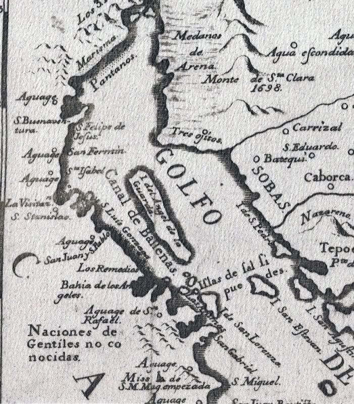
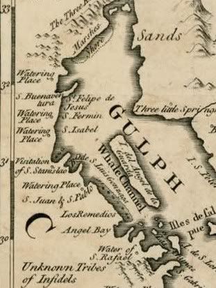
An English pirates (Cavendish perhaps?) stole a copy and that is how we see an English version:
One story puts the mission 12 miles from the waterhole of Mezquitito...
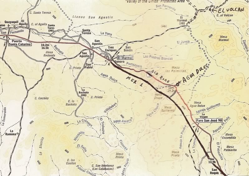
So, when elbeau searched along this radius, and knowing water was a must... the El Volcan arroyo fit the bill... Nice that it is easy to get to, just
13 graded miles from Hwy. 1:
|
|
|
BAJACAT
Ultra Nomad
    
Posts: 2902
Registered: 11-21-2005
Location: NATIONAL CITY, CA
Member Is Offline
|
|
need help can open my SD memory card, as soon as I clicck on it it restars my CP, can even look at the pix any ideas...?
BAJA IS WHAT YOU WANTED TO BE, FUN,DANGEROUS,INCREDIBLE, REMOTE, EXOTIC..JUST GO AND HAVE FUN.....
|
|
|
David K
Honored Nomad
        
Posts: 65434
Registered: 8-30-2002
Location: San Diego County
Member Is Offline
Mood: Have Baja Fever
|
|
José, when you get it figured out, remember to not show "our secret" discovery too soon! 
I am really hoping to read what dtbushpilot and XRPhlang have to say about the first part of the expedition before I get any closer to the Lost
Mission location!!!
|
|
|
dtbushpilot
Ultra Nomad
    
Posts: 3296
Registered: 1-11-2007
Location: Buena Vista BCS
Member Is Offline
Mood: Tranquilo
|
|
I'm getting ready to start my report DK, it's difficult to know where to start, knowing that my story will be part of history is a humbling notion. I
have looked at my pictures and stared at my keyboard for over a day now and can't seem to find an appropriate opening line.....perhaps my buddy Osprey
could help me.........maybe something like "BANG BANG BANG BANG, four shots ripped through my flesh and I started on the biggest adventure of my
life"..........or maybe I should wait for help from a better writer.......dt
[Edited on 5-4-2011 by dtbushpilot]
"Life is tough".....It's even tougher if you're stupid.....
|
|
|
capt. mike
Elite Nomad
     
Posts: 8085
Registered: 11-26-2002
Location: Bat Cave
Member Is Offline
Mood: Sling time!
|
|
"or mostly because the people that it was built to convert and serve were no longer alive in any quantity."
yeah... cause they were treated like slaves and worked to death most likely.
the Jesuits were abusive tyrannical elitists without restraint in their pursuit of self grandizement in the name of their papist leader. 
but heh....they had viticulture in new mexico...
formerly Ordained in Rev. Ewing\'s Church by Mail - busted on tax fraud.......
Now joined L. Ron Hoover\'s church of Appliantology
\"Remember there is a big difference between kneeling down and bending over....\"
www.facebook.com/michael.l.goering |
|
|
| Pages:
1
2 |

