Originally posted by Taco de Baja
| Quote: | Originally posted by PaulW
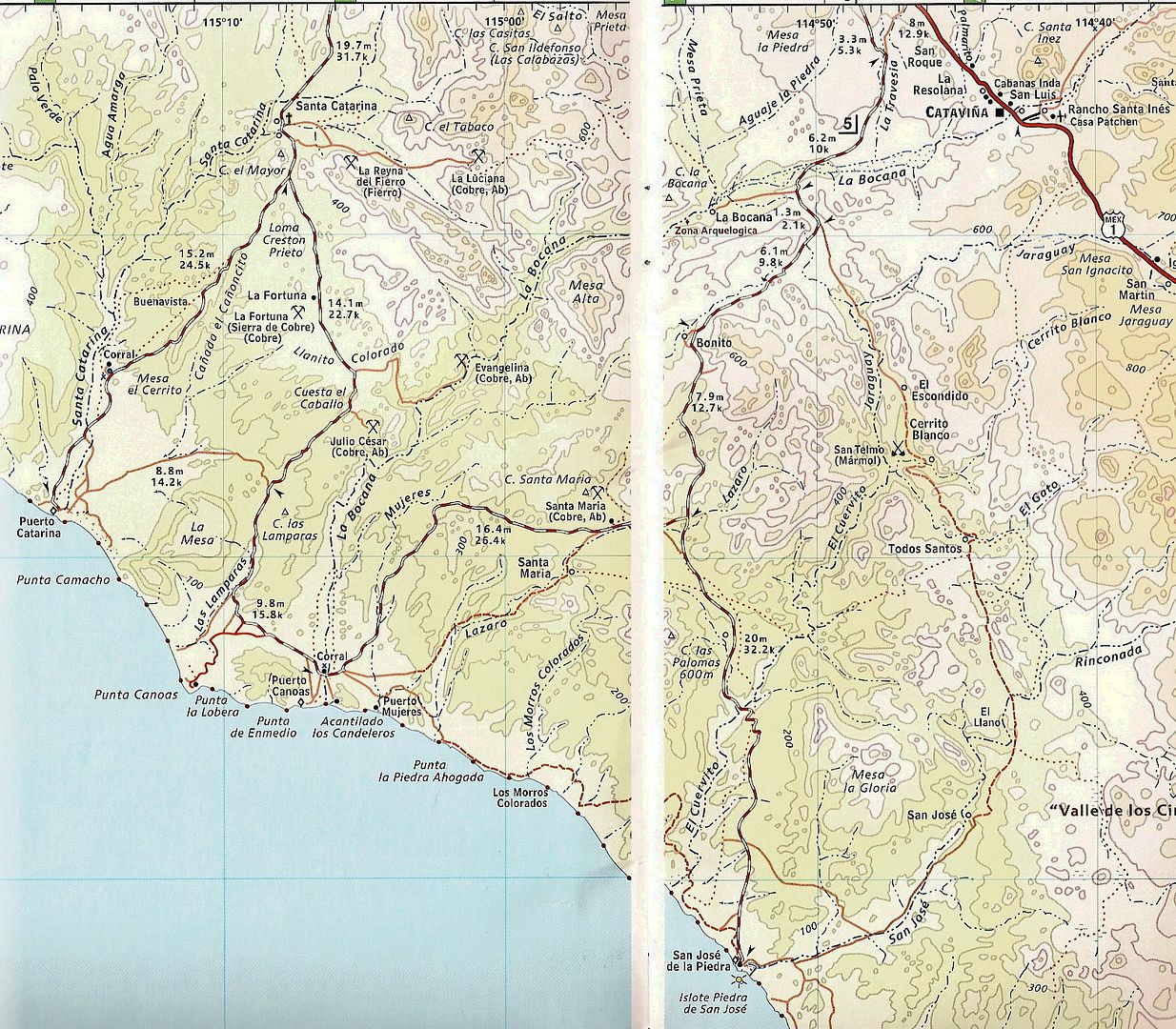
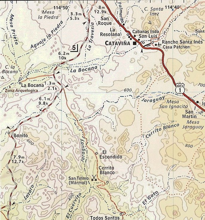
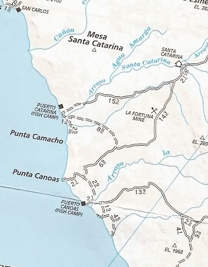
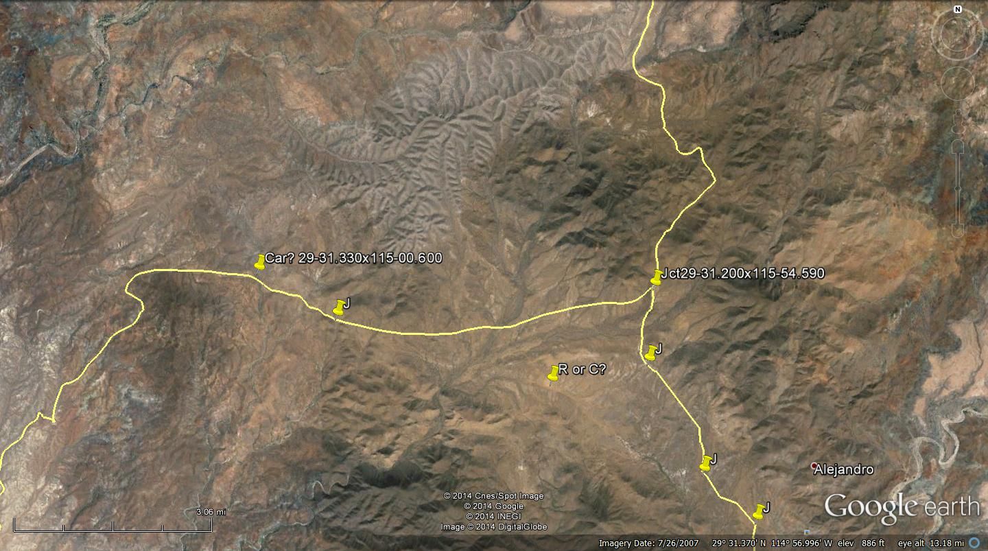
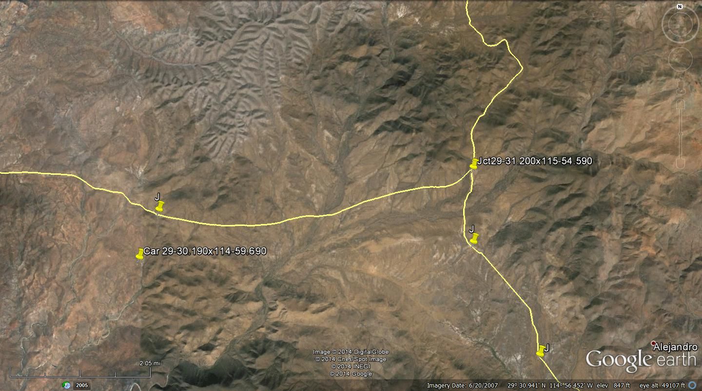
I was interested in the area. My guess the stuck vehicle was less than 5 km from the coast by various tracks. I found the road off hwy 1 and followed
to an area where it becomes less visible. So I marked various roads in the vicinity. I also made a mark with coords to allow one to get started on GE
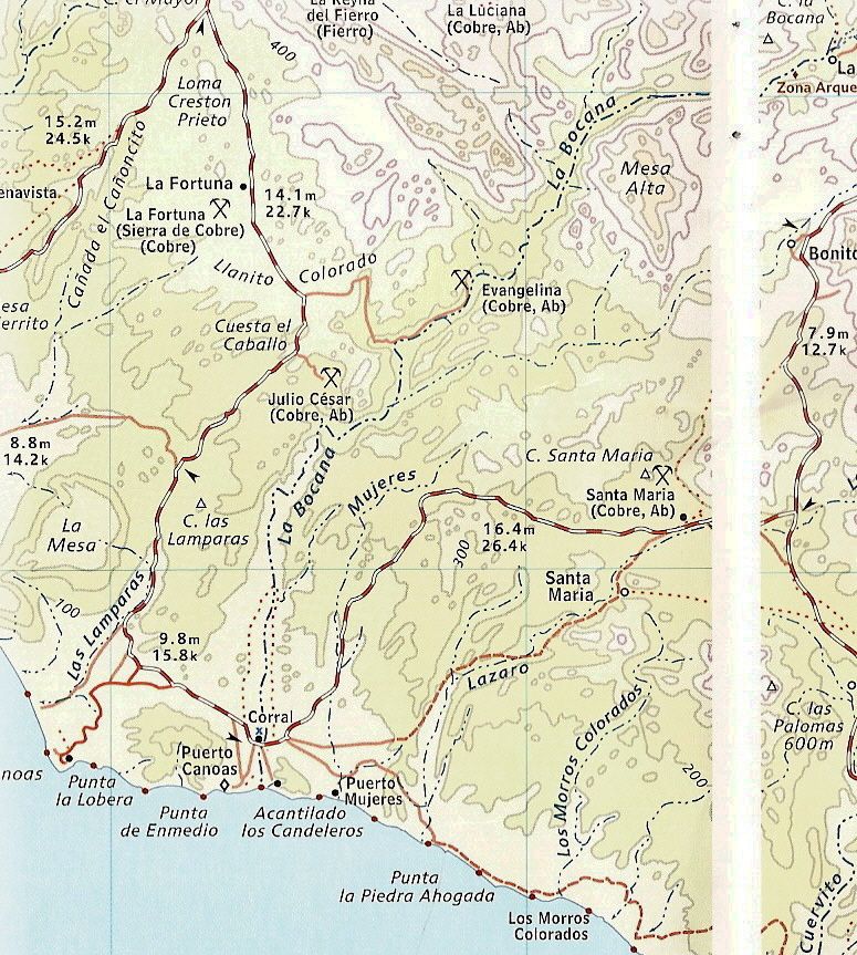
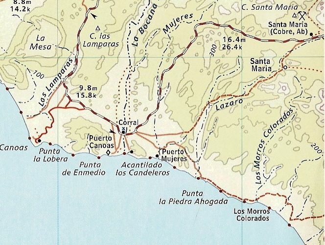
near the coast. I suspect that place it where arroyo Mujeres hits the coast? To find Cativina zoom GE and look for Santa Ynez.
Search GE and see what you come up with
Paul |
I’m thinking the "turn to the right" and head on the road to Canoas may be wrong.
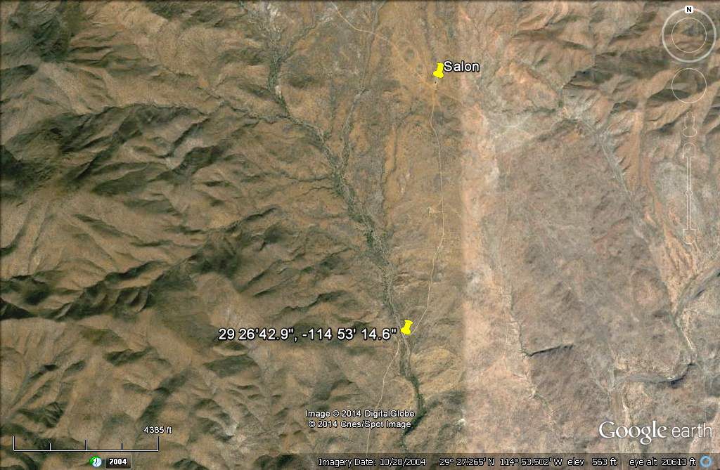
If you continue straight from this junction, you will come to the green cement building that is used as a meeting hall/church/salon in approx. ~4.3
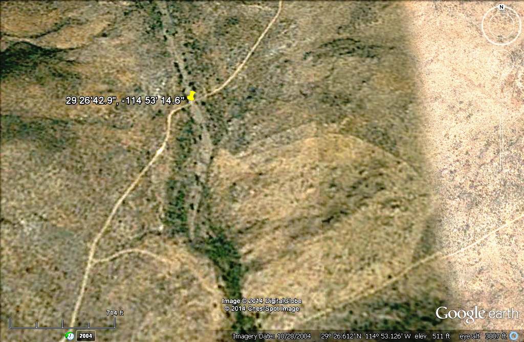
miles, turn right here (head south) here and go 1.7 miles and there is a nice sandy wash I have camped in. As I have mentioned before there are not a
lot of nice camping areas on the drive to the coast, and if you see one you take it, especially if it is getting dark. This spot is well hidden if you
go up or down far enough.
This spot is around 14 driving miles to the coast at San Jose, and around 2 hours driving time off the pavement.
If you do the math, this spot also happens to be 6 miles (or 10 KM) from when they said to “turn right.” Just a thought. I may be wrong but I wanted
to add my 2 pesos.
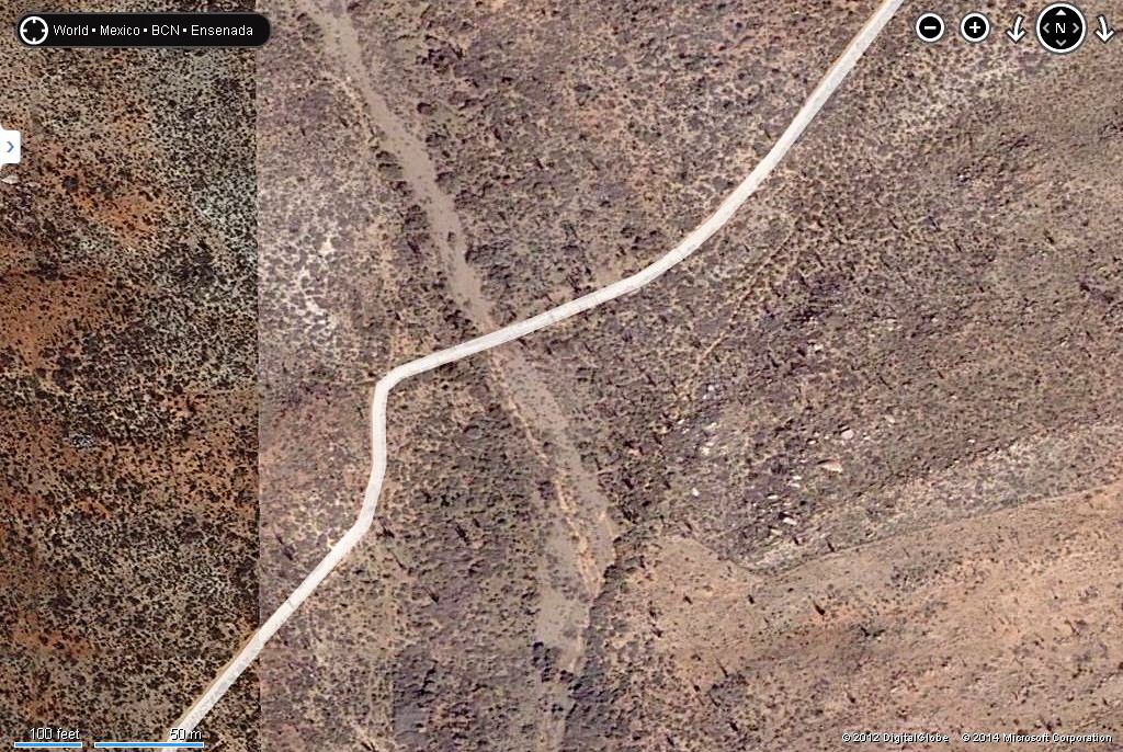
The coordinates are 29 26'42.9" 114 53' 14.6" If anyone is interested in posting a GE image. |


 I was just going to do that, but you beat me to it. Thanks.