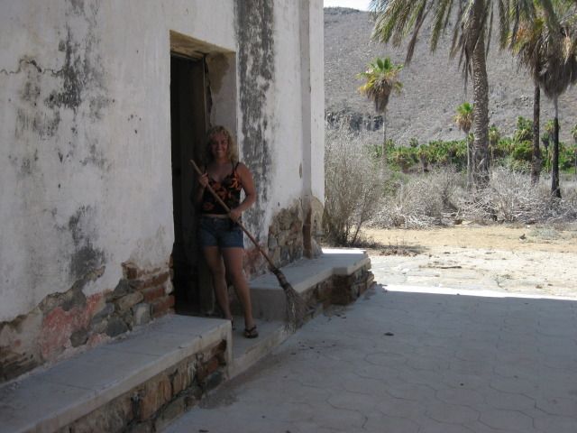
Originally posted by wiltonh
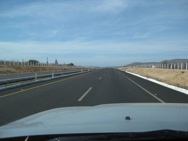
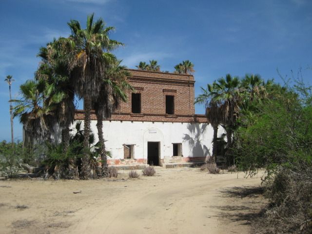
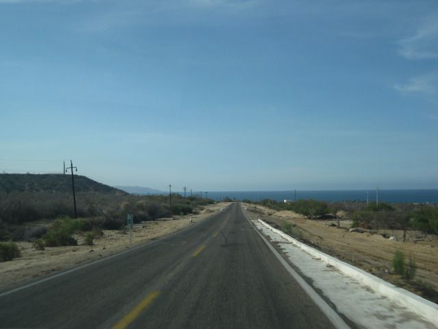
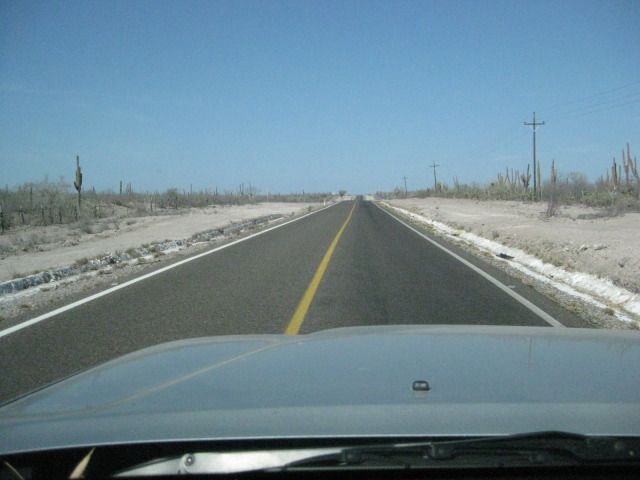
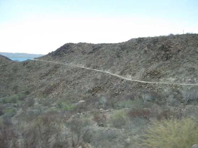
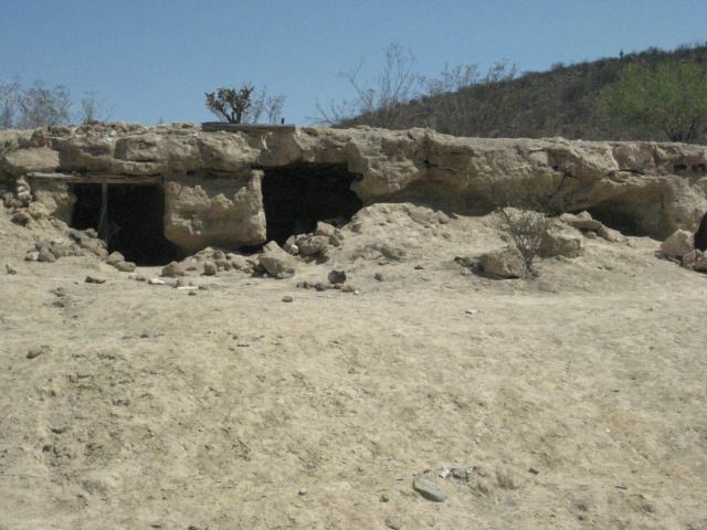
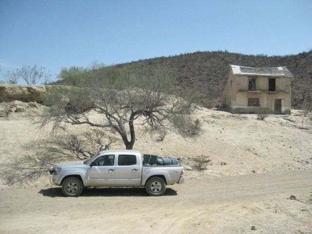
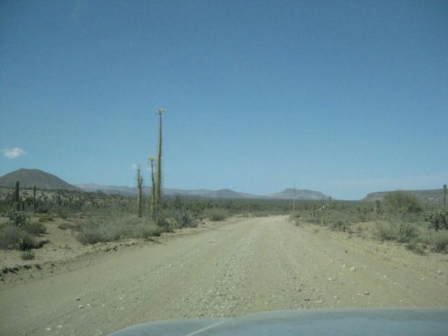
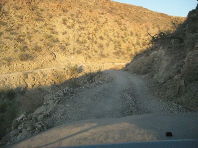
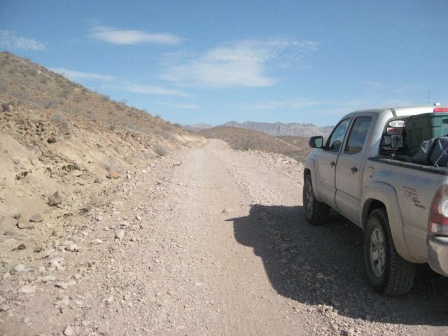
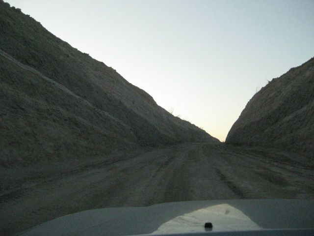
I know this is a little late but next time you are at El Triunfo, there is a fairly good road to San Antonio that is not highway 1. The road starts
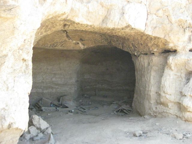
on the South end of town and goes behind the old mill site. It follows a valley along a stream bed and then goes up over the ridge. Near the top you
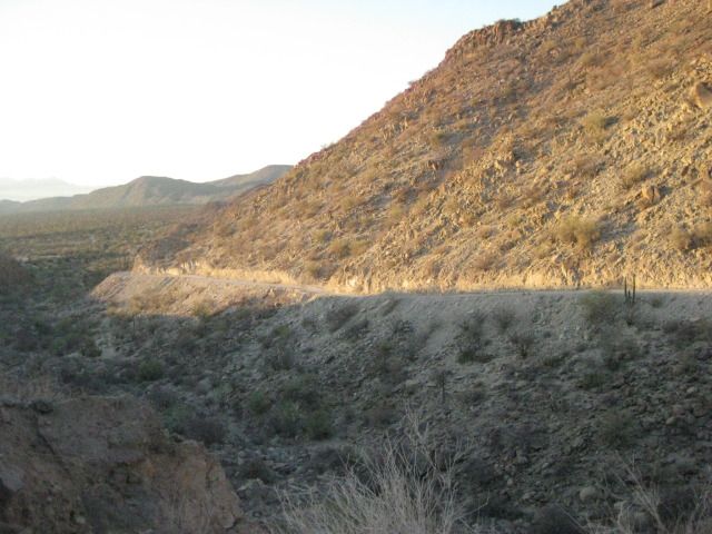
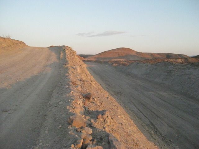
hit a brick paved road. If you go left, you end up in San Antonio. If you turn right, you end up at the big micro wave tower on the mountain to the
west. That brick road must be about 5 miles or more. Someone built a lot of brick to make that happen.
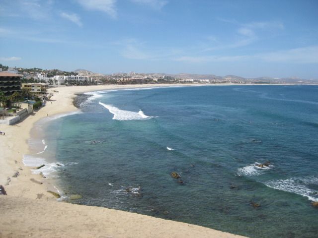
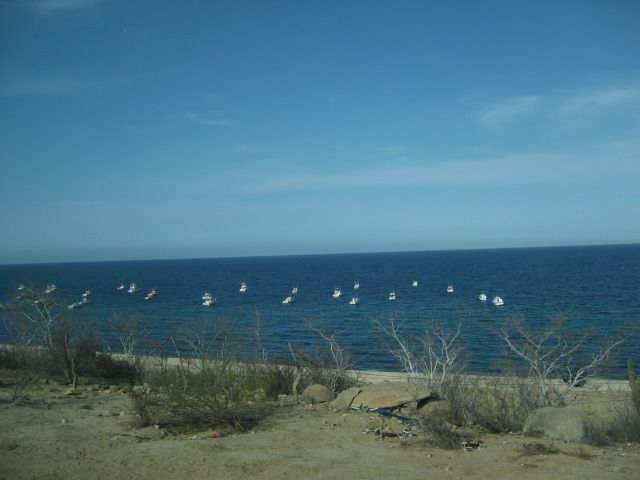
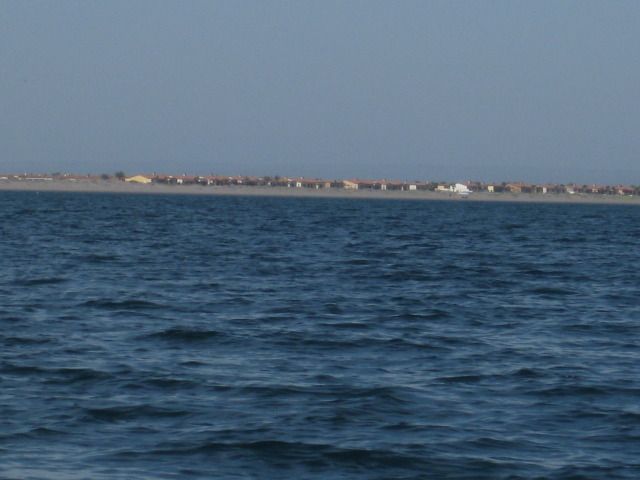
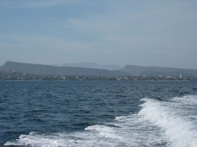
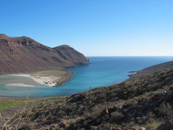
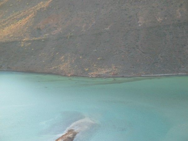
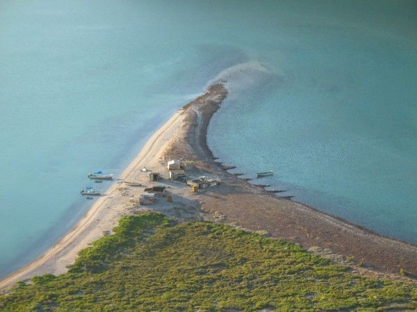
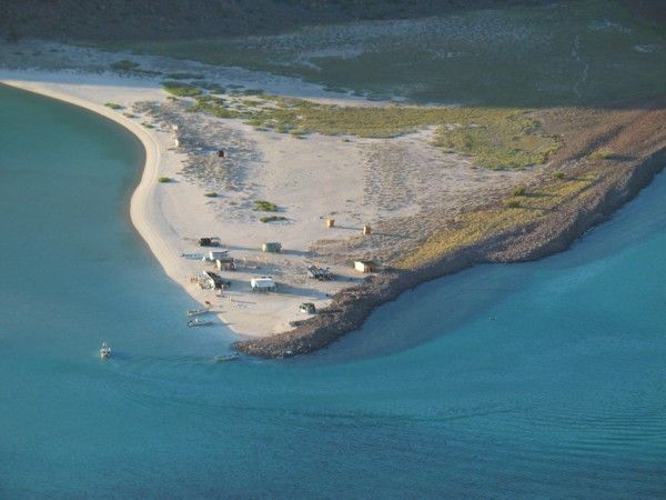
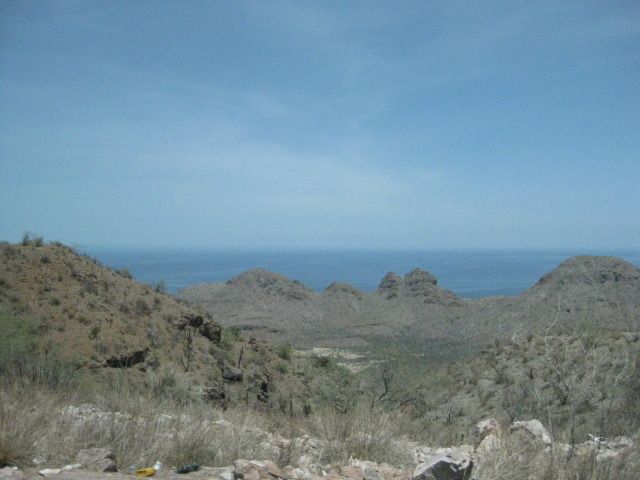
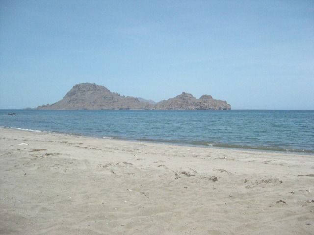
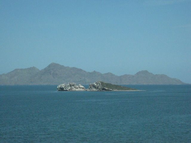
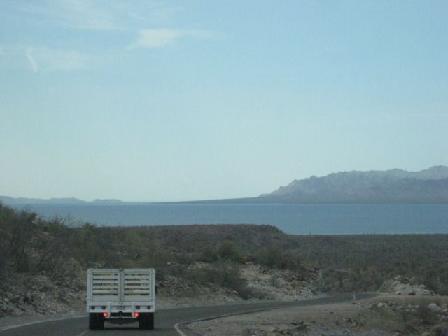
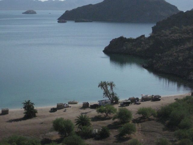
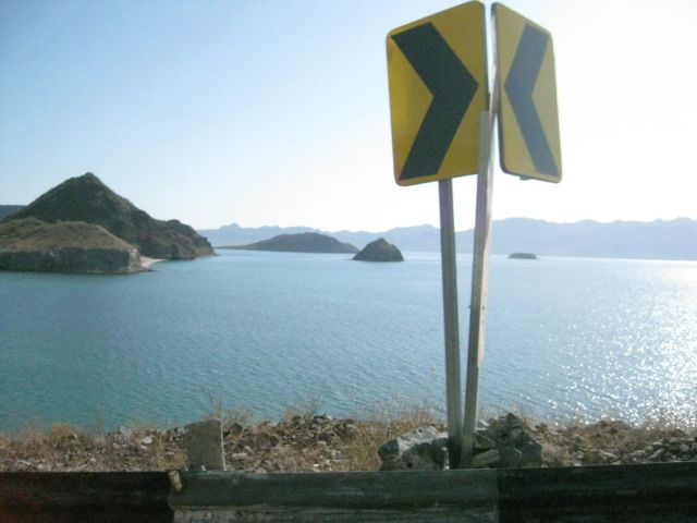
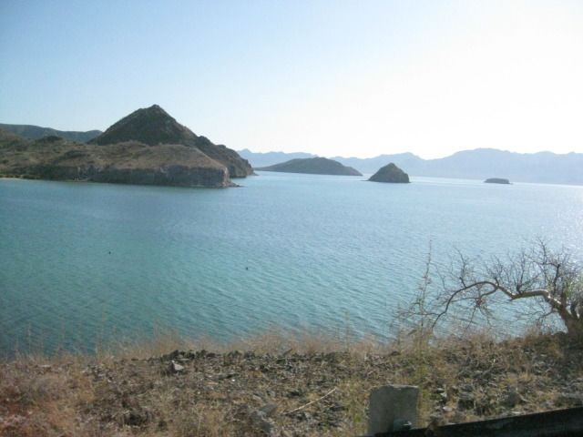
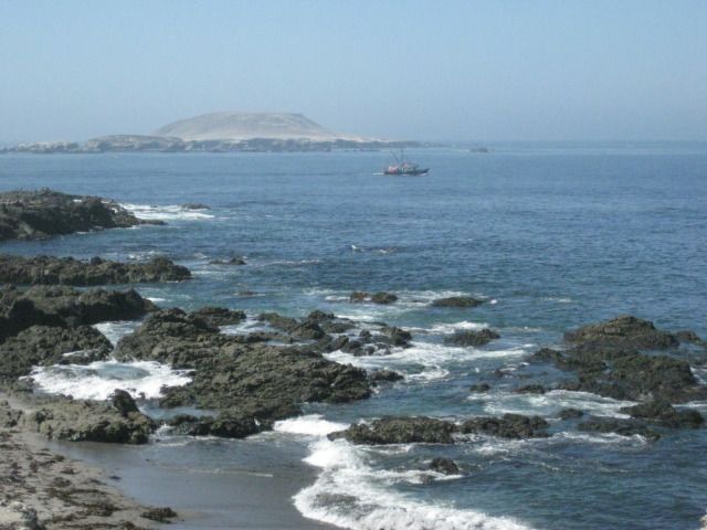
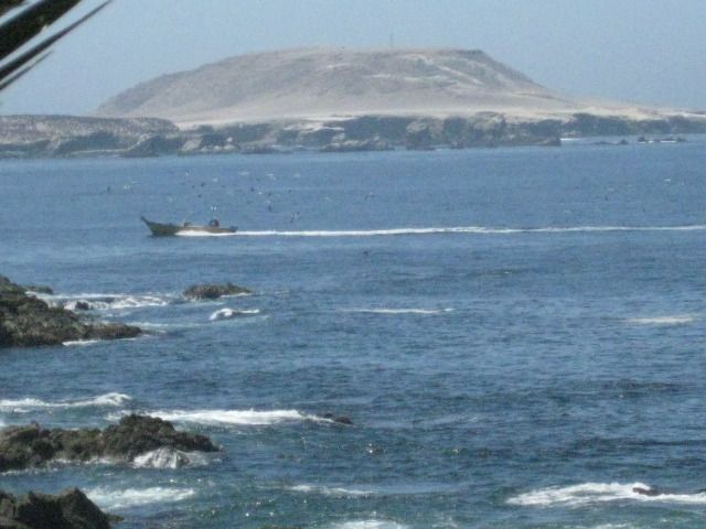
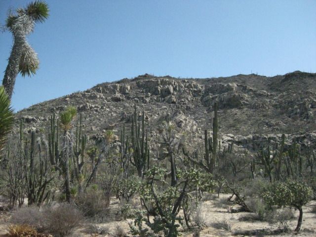
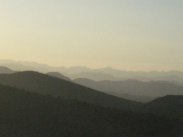
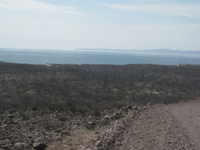
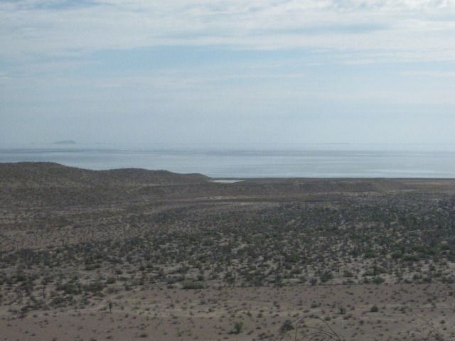
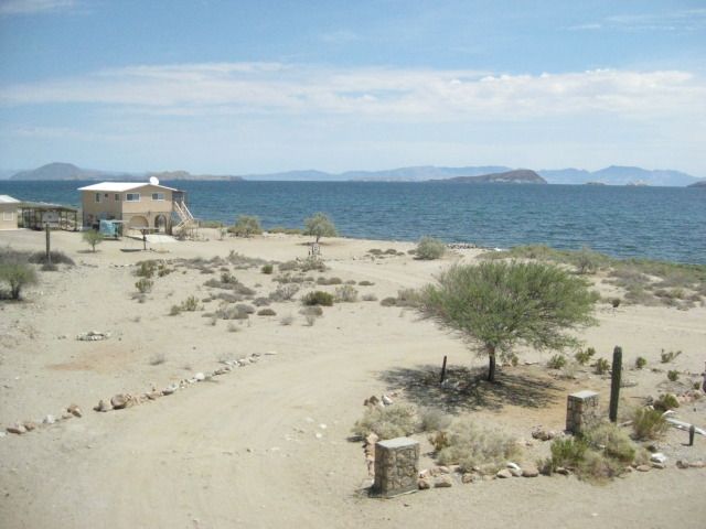
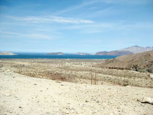
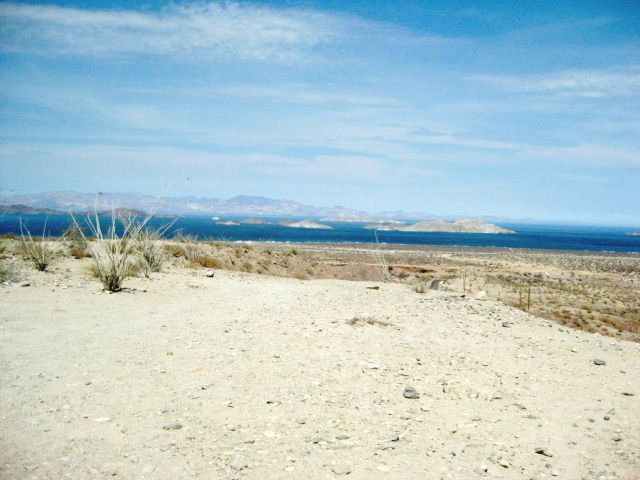
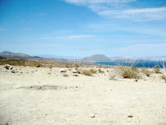
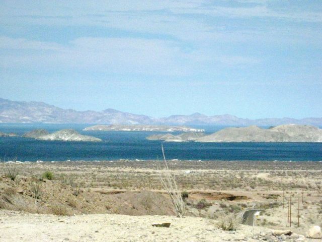
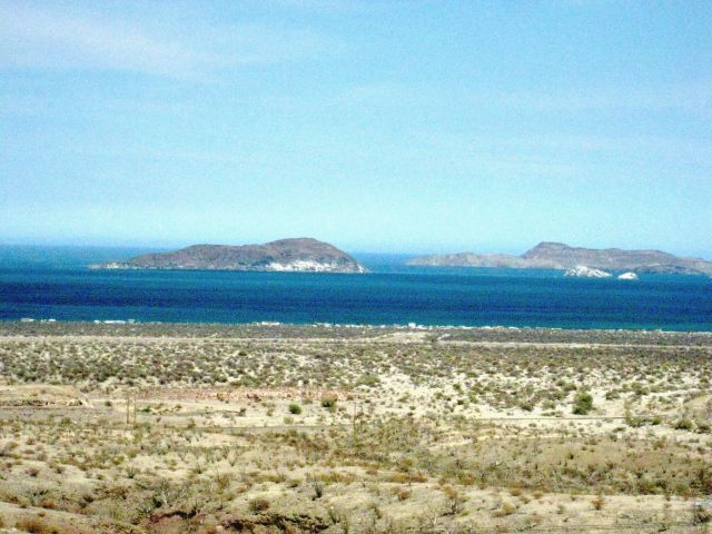
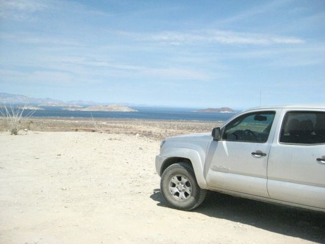
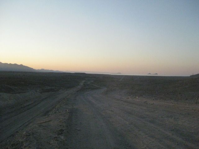
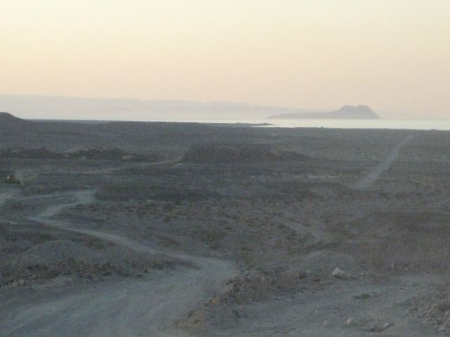
From the micro wave tower there are some very nice views of the ocean and the big island off shore.
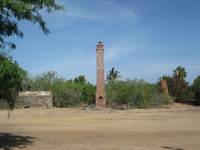
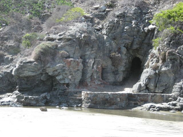
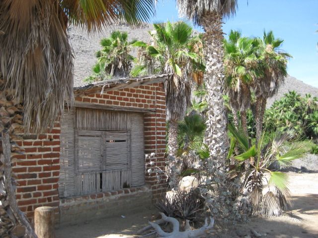
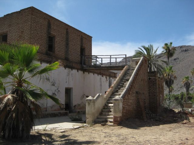
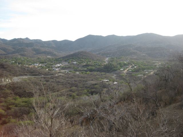
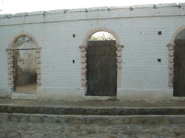
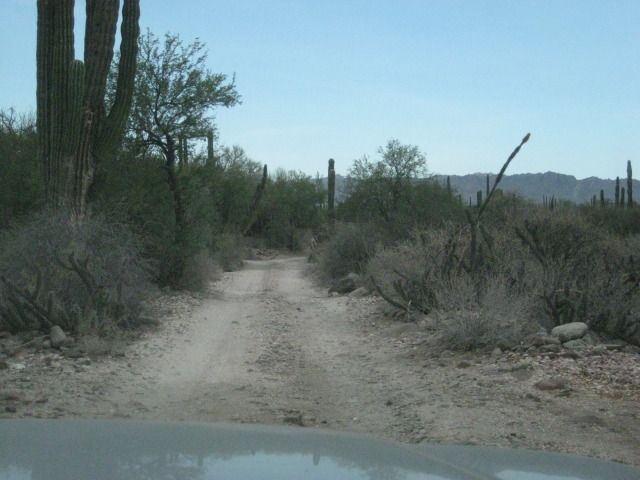
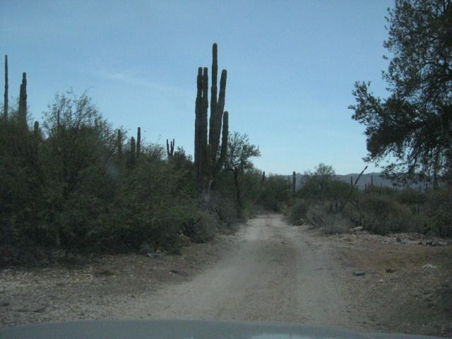
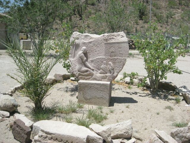
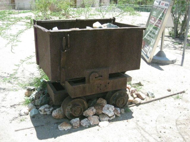
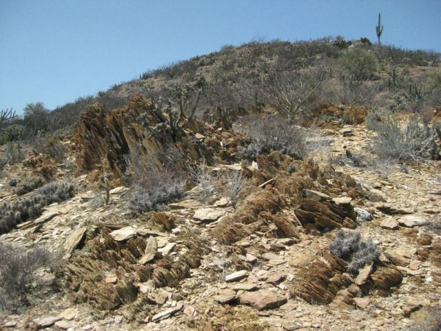
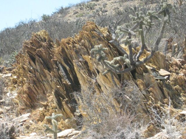
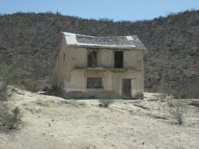
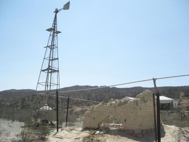
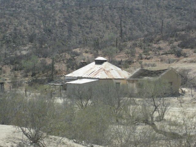
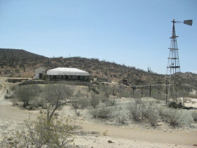
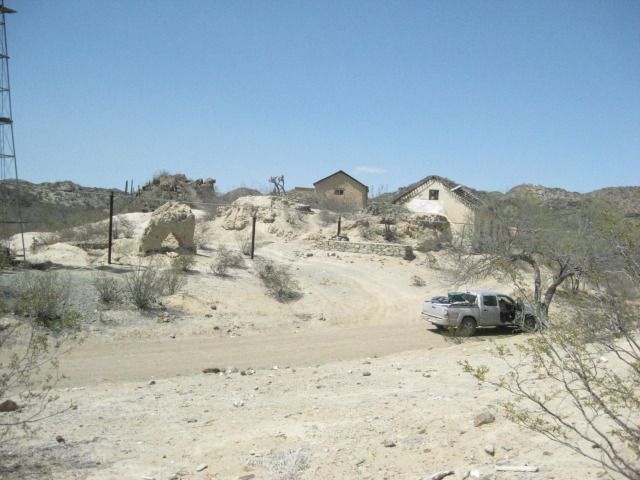
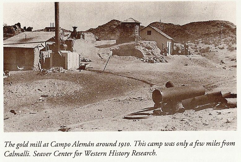
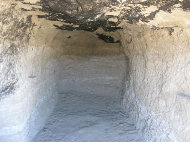
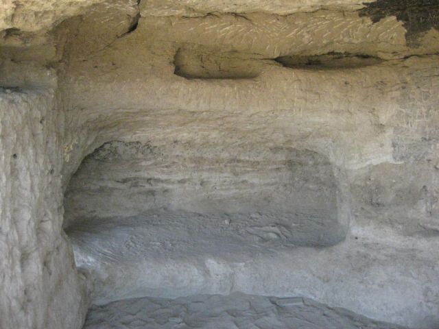
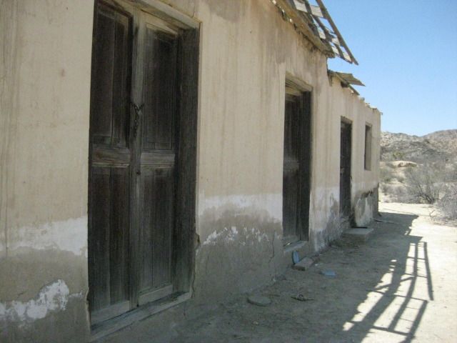
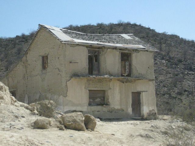
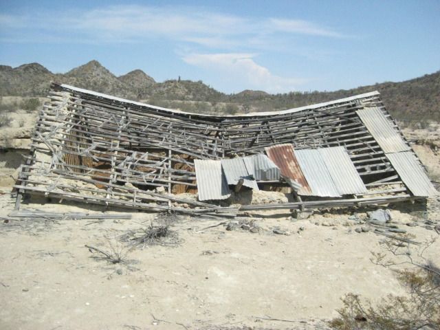
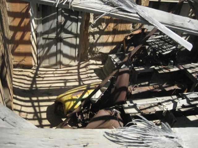
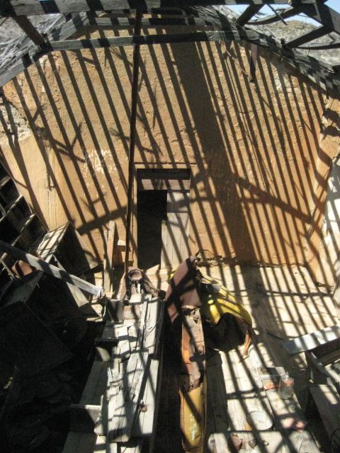
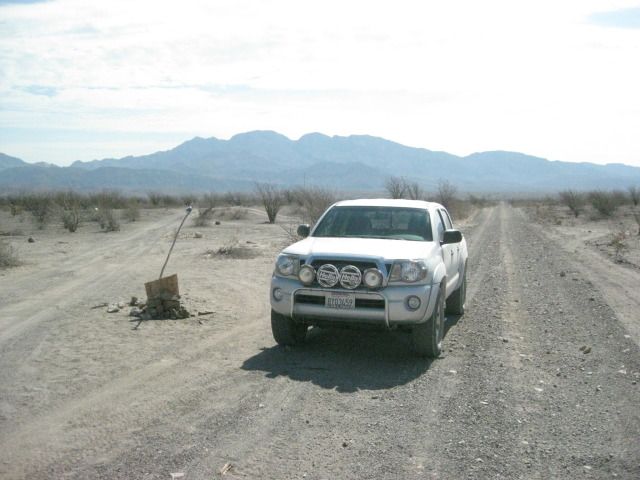
In San Antonio, you can turn off of highway 1 near the gas station and head up into the mountains. About 2 miles up you go by another old mill site
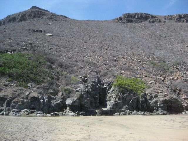
on the left hand side. It is fun to look around also. This road continues a number of miles west where you come to a locked gate with guards. It is
an active mining site.
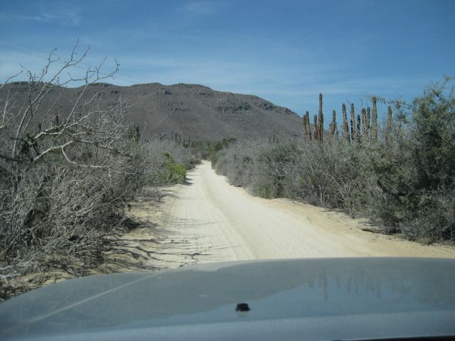
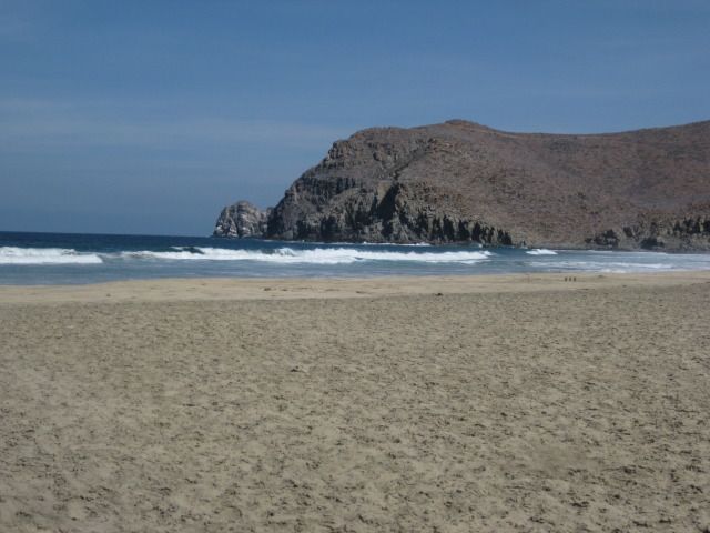
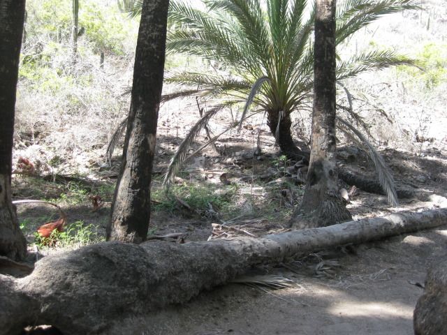
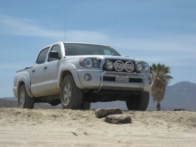
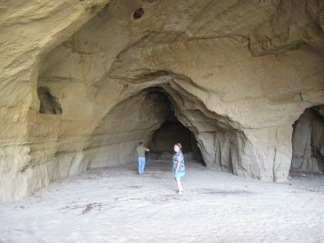
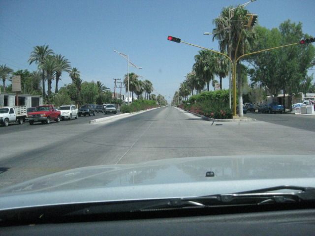
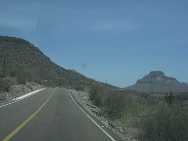
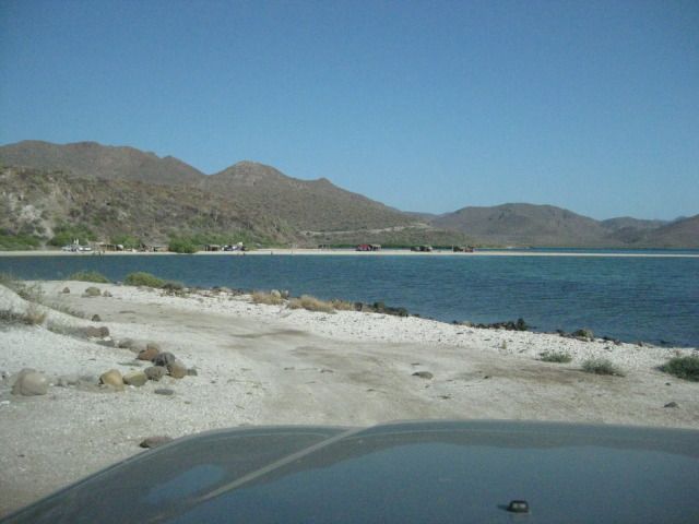
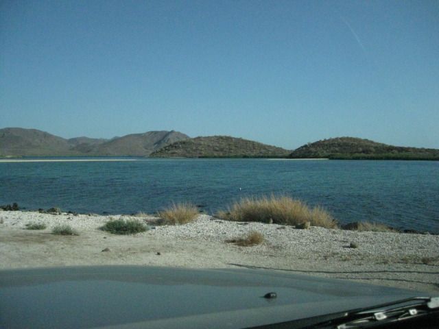
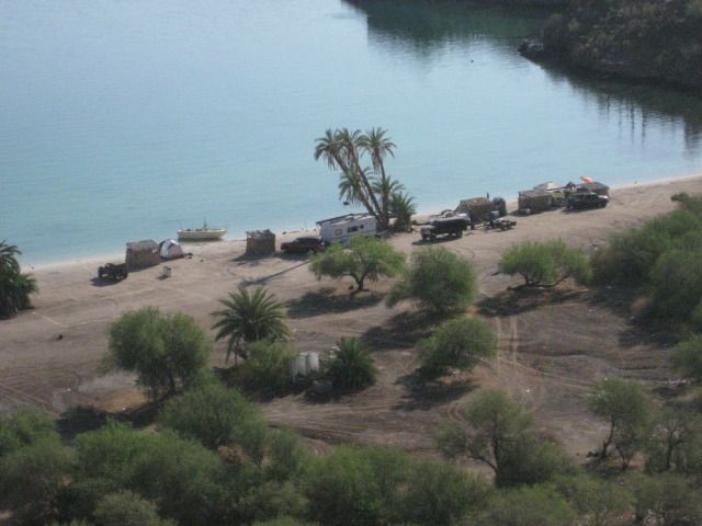
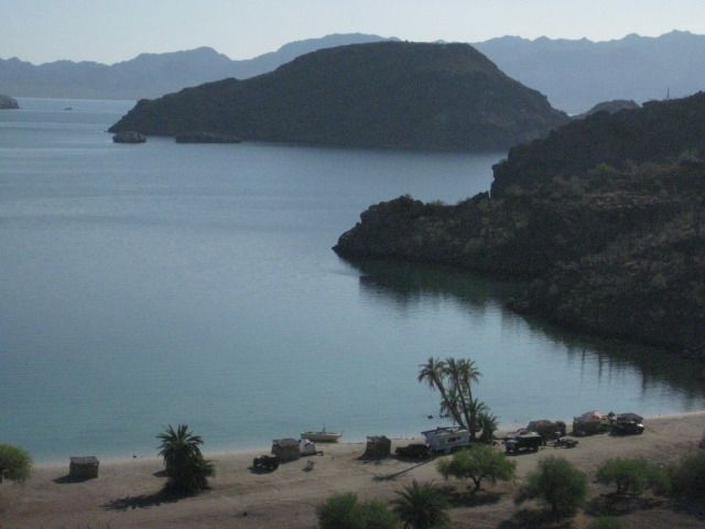
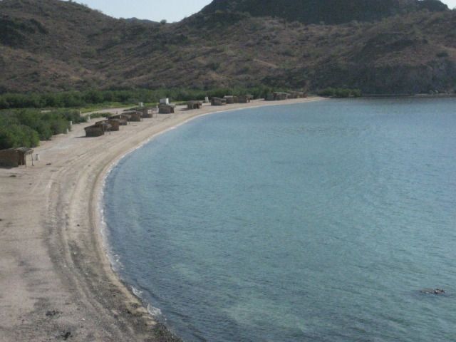
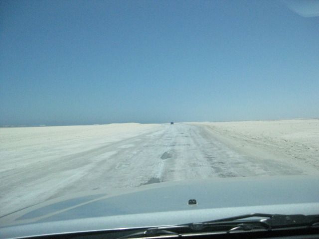
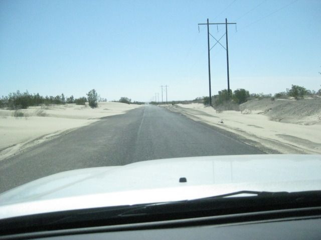
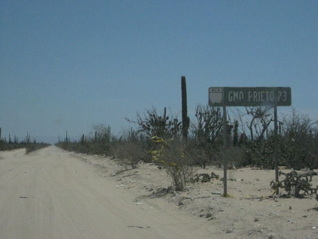
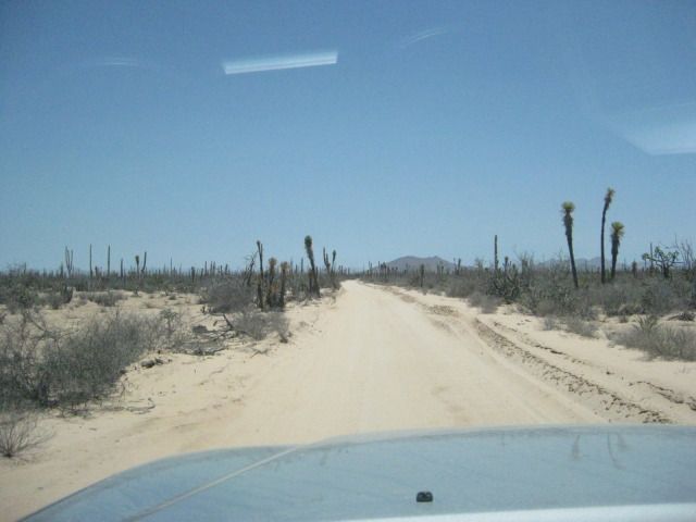
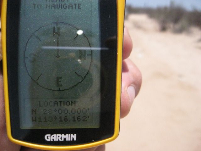
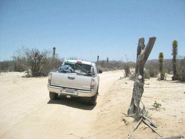
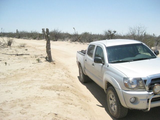
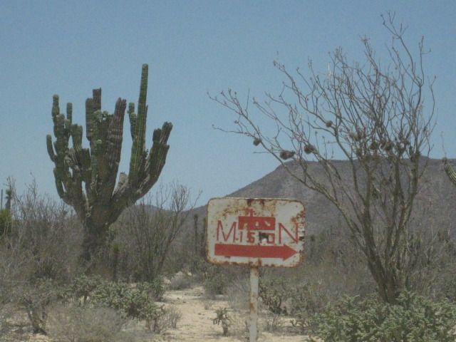
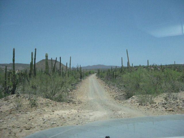
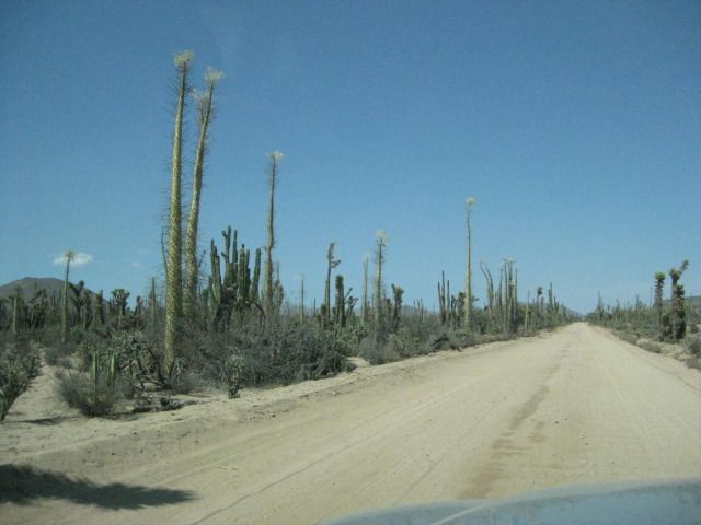
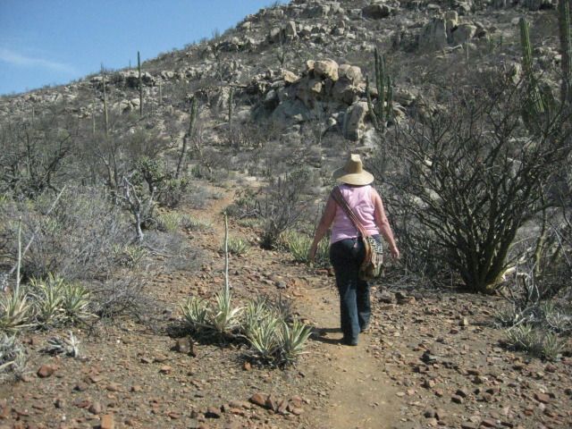
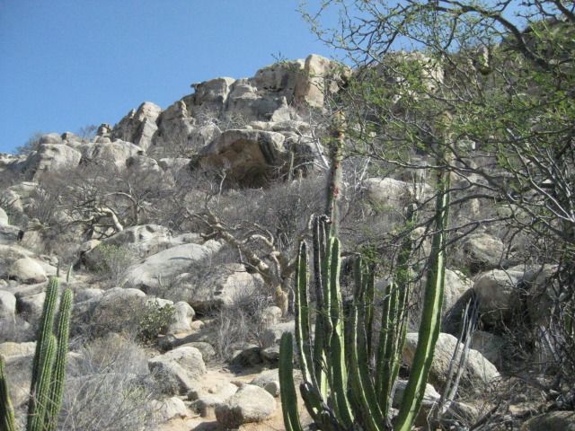
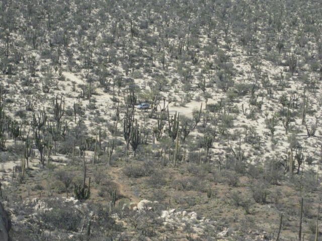
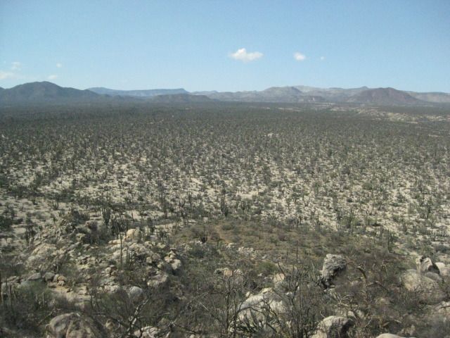
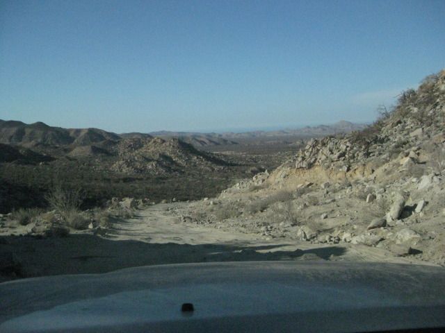
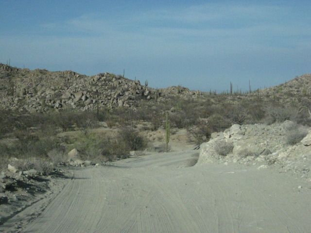
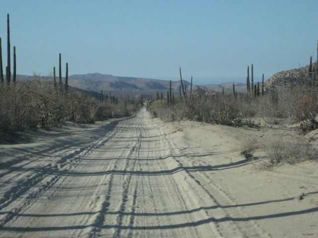
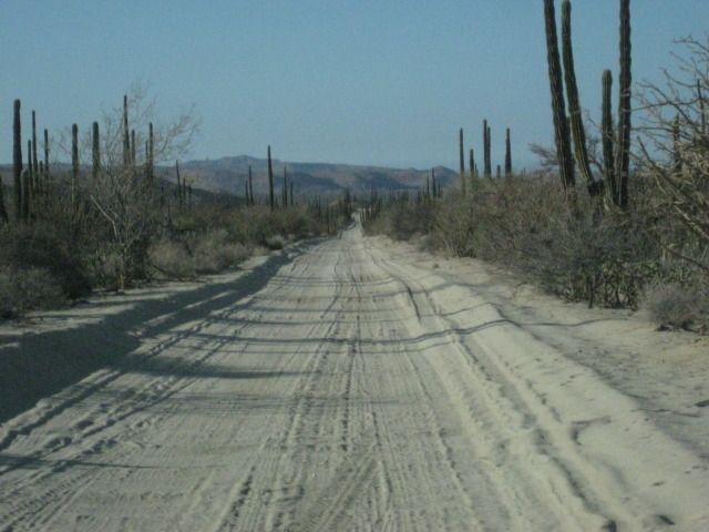
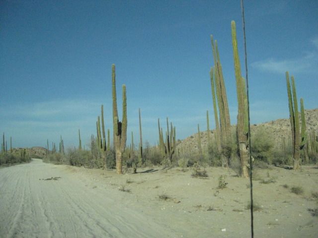
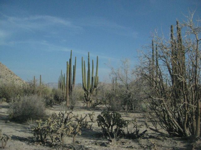
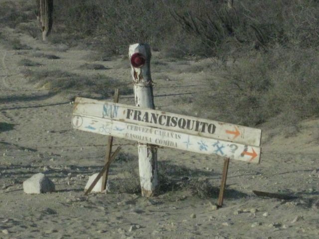
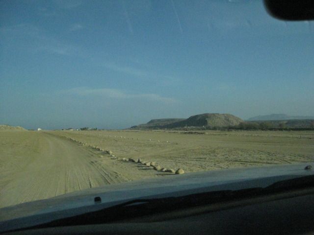
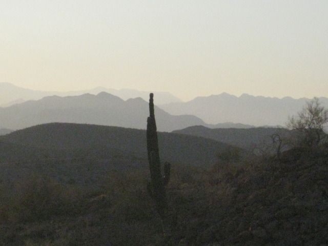
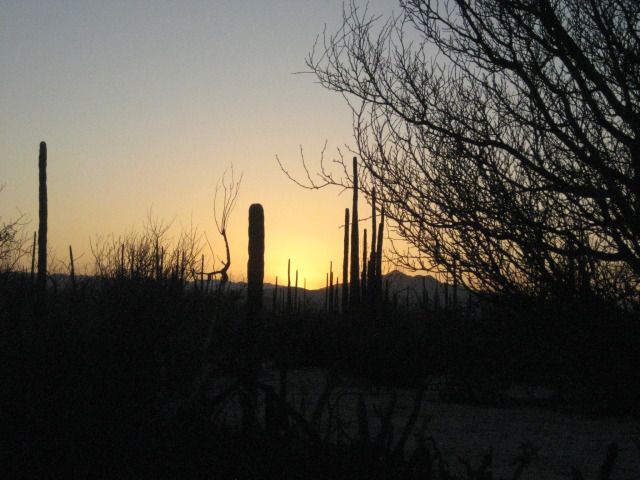
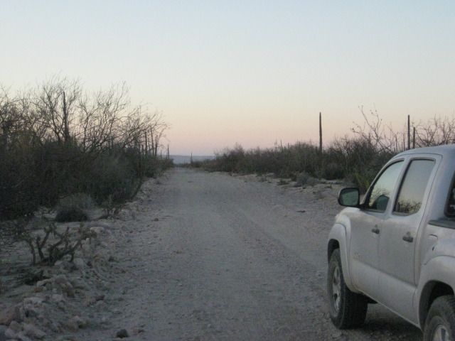
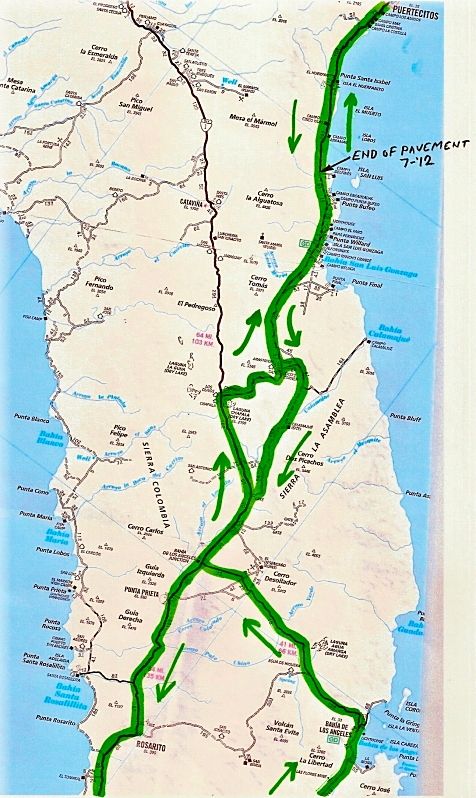
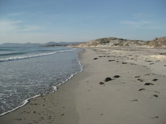
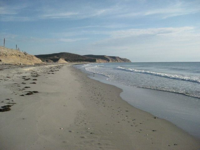
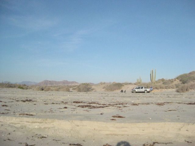
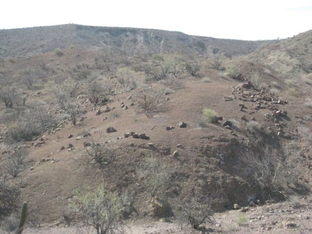
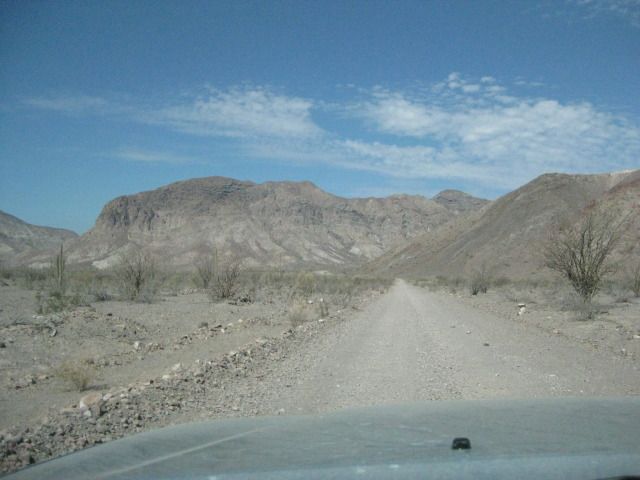
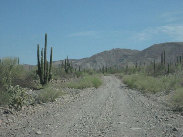
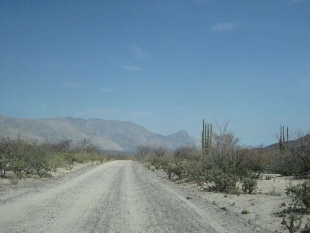
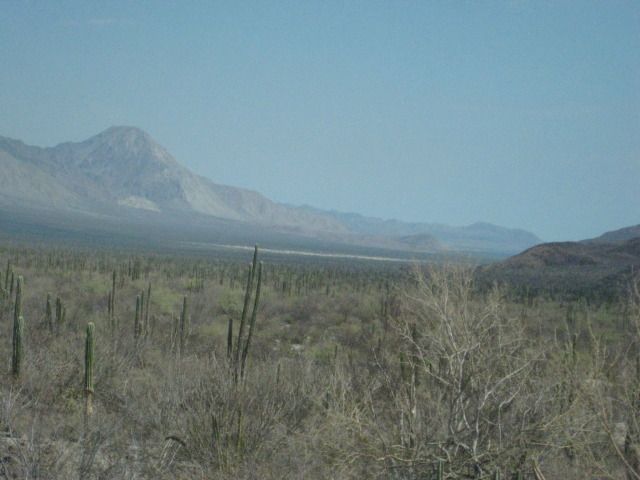
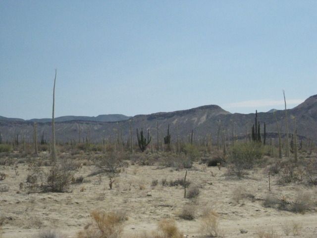
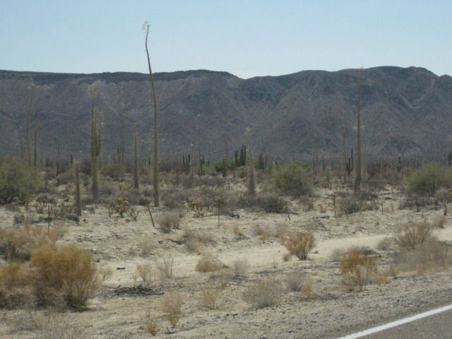
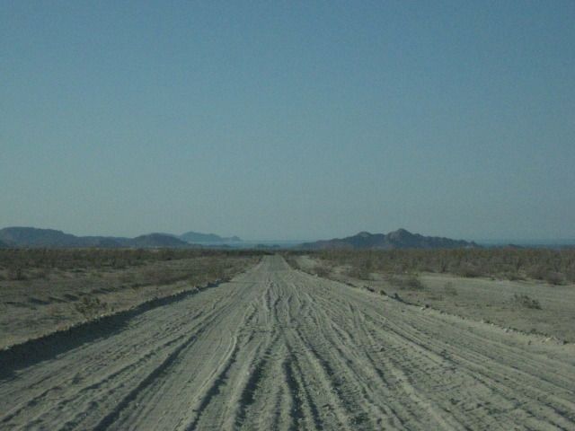
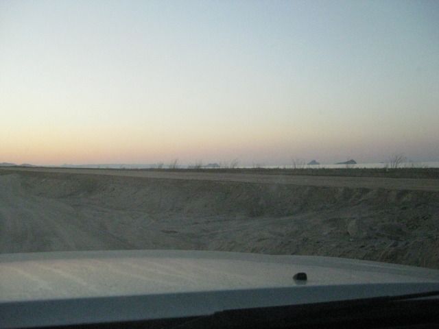
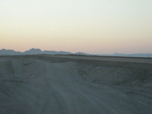
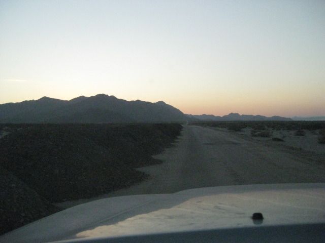
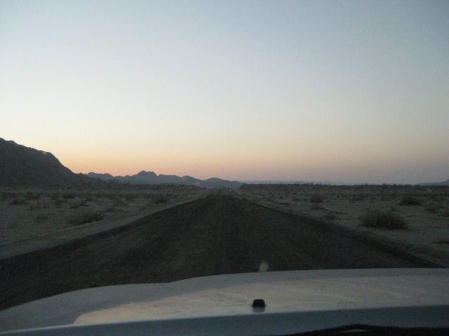
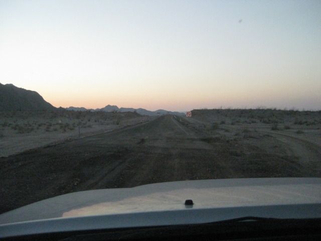
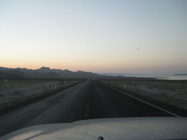
There are lots and lots of roads in that area to explore. Some were on my GPS map and some were not.
Wilton |