Originally posted by mtgoat666
| Quote: | Originally posted by David K
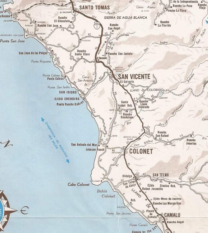
So, they are going to walk the same course as Mike Younghusband and Don-Kay did... where the only SOS Spot signal needed to be sent. Punta San Carlos
to Puerto Santa Catarina is really a isolated section with no parallel or access roads, tall cliffs, and NO FRESH WATER.
I don't see any bottles of water being lugged, so what is their source? A hand crank desalinizer? |
you probably dont see water containers, as they would be inside backpacks
they can use a still, hand crank desal, rely on fish camps,...
can probably get by with 1 gallon per day per person in cool weather (or perhaps less), so can easily carry water supply for 60 to 80 mile stretch,
maybe more if they push it or supplement with still or pump. so how many miles is roadless? or how many miles between fish camps?
|