Originally posted by Geothermal-Shane
Also, for David K(or anyone else), on Valle Chico-
How do you think a 2wd vehicle of the above posted specifications would fair en route to Matomi? I've only been as far as Ejido Agua Caliente. Is the
road much the same from there south to Matomi? En route to Agua Caliente, coming from El Dorado ranch, I only used 4X4 at the dunes near
Morelia/Huatamote wash and in Agua Caliente Canyon on the rocks and boulders, but I think a 2wd could make it. As far as Matomi, Parral and the road
south of Ej. Agua Caliente, I don't know.
Also, might it be better for a 2wd to avoid the dunes(East Valley rd.) and take the West Valley road coming from the south end of Laguna Diablo? I
have never traversed this route either.
I'm planning to get in this area in June, too.
And...
How gruesome is the trek down Arroyo Matomi through Puerto el Parral to Puertecitos? Hoping to drive it someday, although probably not in June.
Thanks everybody. |

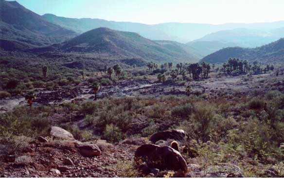

 There are
some minor petros up canyon past the driveable part.
There are
some minor petros up canyon past the driveable part.


