bajalera - 12-23-2005 at 05:59 PM
In terms of its size and the prevailing winds, would Bahia San Juanico have been a good port for a Spanish galleon drawing around 30 feet of water,
with a keel of about 50 feet and overall length of 170?
Dave - 12-23-2005 at 06:25 PM
Depends...
Did you find the map? 
Roberto - 12-23-2005 at 06:56 PM
Lera, there are two Bahia San Juanico, one on either side. Which one are you referring to?
On the Pacific side, a vessel drawing 30' feet would have to anchor further out in the bay than optimal, but would probably find good protection from
prevailing conditions.
On the Cortez side, good anchorage could be had for a vessel that size to protect from all conditions except from the east. Not being an expert on
that are, I don't know how frequent such conditions would be, but I suspect not very.
bajalera - 12-23-2005 at 07:50 PM
Pacific side, Roberto. Jesuits were told to find a port where the galleons from Manila--with nearly everyone aboard in desperate need of fresh food
and water--could be provisioned en route to Acapulco. They never succeeded in finding one, and it's occurred to me that maybe they preferred not to. I
was curious about San Juanico because there's water there, although I haven't found any mention of this in the usual Jesuit reports.
Did I lose a map, Dave?
JZ - 12-23-2005 at 09:21 PM
Treasure map.
oladulce - 12-26-2005 at 02:07 PM
Bajalera-
I don't know the actual depths in the bay, but maybe these photos can shed a little light.
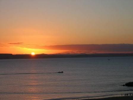
This is the typical boat traffic in the area of the bay near the town and panga beach.

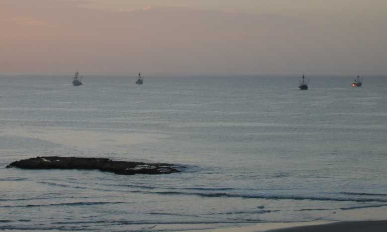
This is the distance that most fishing boats anchor off shore. Even the largest of the fishing boats and the occasional Navy ship don't anchor much
farther out than these boats are. But whether it would have been deep enough for a galleon??

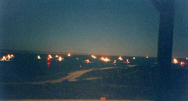
You can always tell when we're in for a nuclear wind because shrimpers and fishing boats appear out of no where and seek shelter in the bay, so yes it
provides shelter from the howling northwest winds.

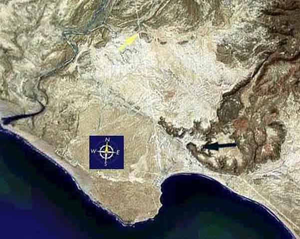
The blue arrow on this pic shows a "water source" nearest the bay and probable landing beach. It's a very skimpy, and sometimes non-existent trickle
that is located at a goat rancho up the 1st arroyo. The town water supply comes from a well at a rancho about 6 miles from town towards Cadeje (yellow
arrow). The grid of the town of San Juanico is visible inside the bay, and boats anchor just offshore of the 1st point outside of town.

I doubt that there was enough water for the galleons to rely on, although there is evidence everywhere that this was a hot spot for Indians. Our
property on the "gringo hill" had a layer about 3 feet deep of solid snail, clam, and occasional abul?n shells ( they would have had a good
view while they ate). I often wonder if there were a whole lot of Indians at some point, or a few of them over a very long period of time that
deposited that many shells over the entire hill. The shells were so thick that I would have to sift through and remove them by hand before I could
plant anything. Unless the Indians transported their water in from about 10 miles away, the must have had a local source ?
Water in San Juanico
Juan del Rio - 12-26-2005 at 04:01 PM
Oladulce, Jaime has told me that, on occassion, he has seen water come out from the side of the hill about a 1/4 mile east of this photo from the
town's original waterwell. There is a lonely Palm tree on the side of the moutain that marks the spot. It is behind the old water pila. I never
thought too much about the old, old history of town till this year. Pretty cool stuff!
I also heard that the Japanese in World War ll had landed a scouting party in the area as a possible staging area to attack California. Who knows if
it's true, but I understand Mexico had always been friendly with the Japenese. Any info on this would be good as well!
Old Water Pila in San Juanico
Juan del Rio - 12-26-2005 at 04:08 PM
The area where the water has occansionally been seen to come out from the mountain is about 200 yards behind this photo.


