
Sharksbaja - 5-16-2006 at 10:36 PM
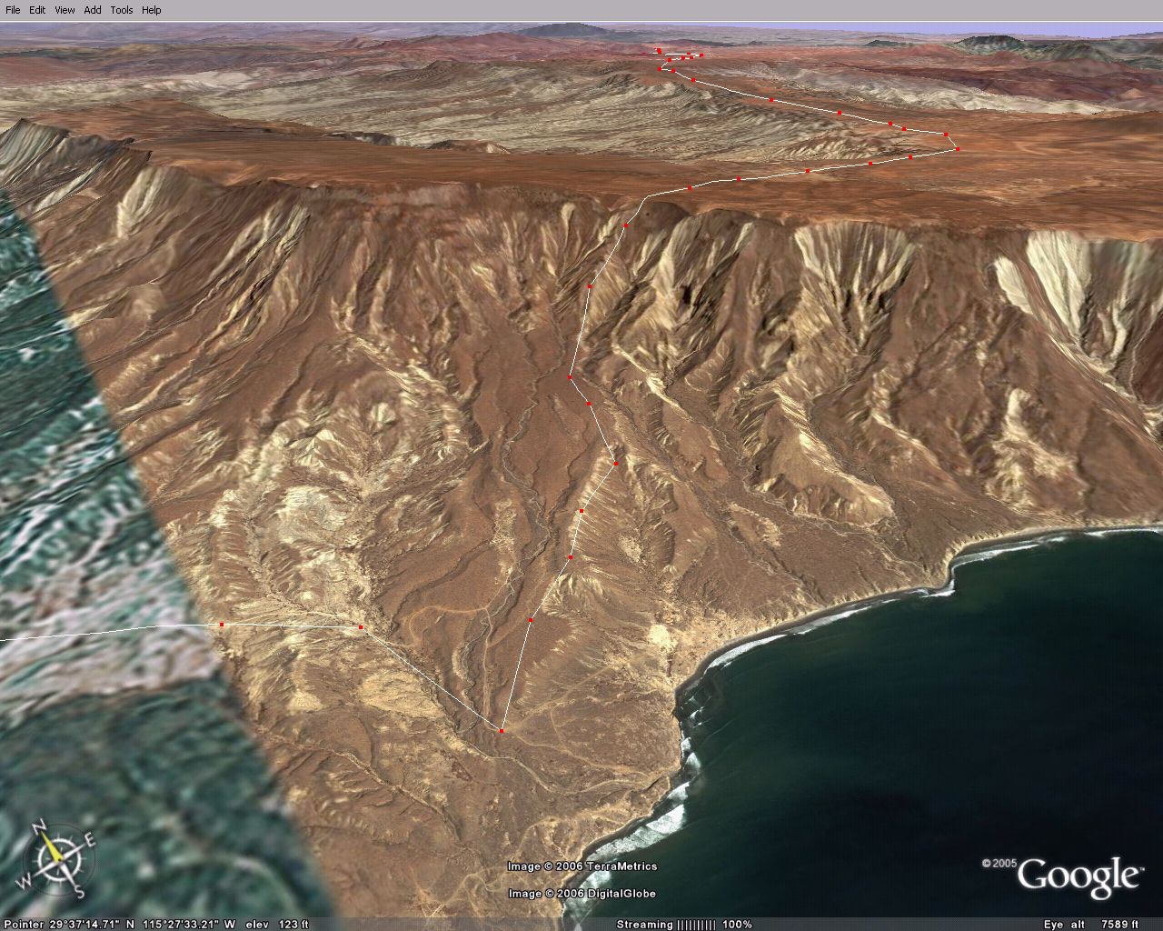
I would like to know if the track up the face of the Mesa is doable. Looks pretty darn steep up near the top.
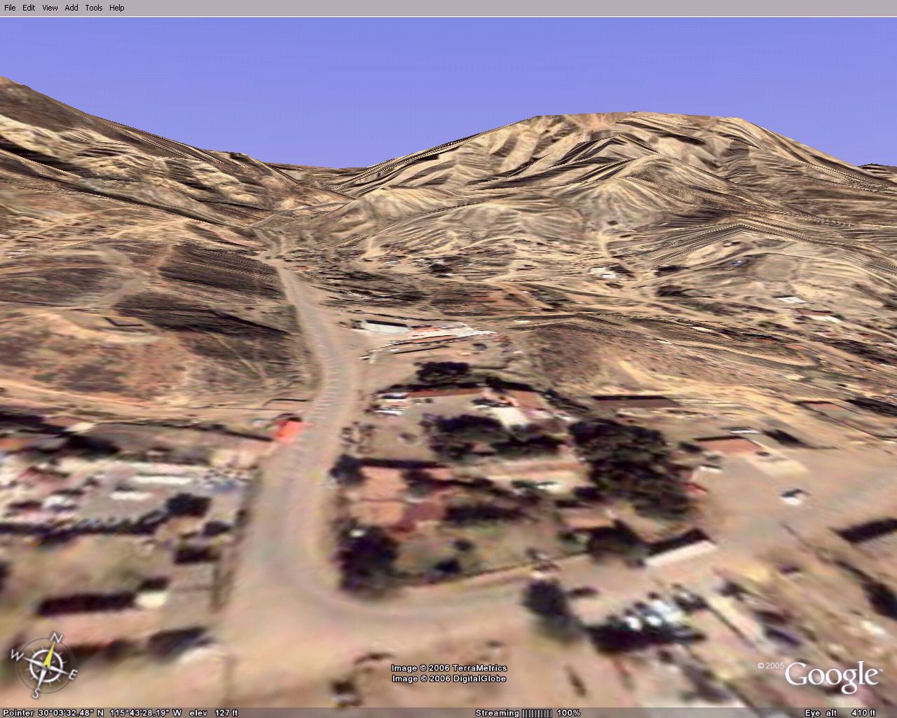
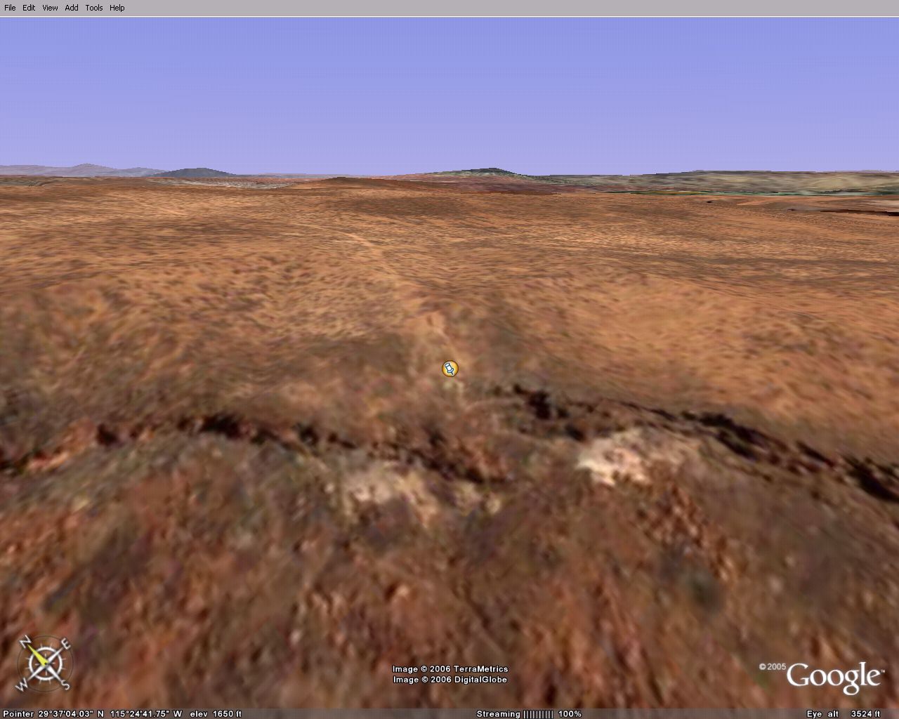
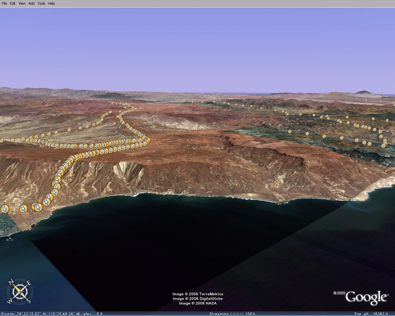
Approximate track location
Pins on west track
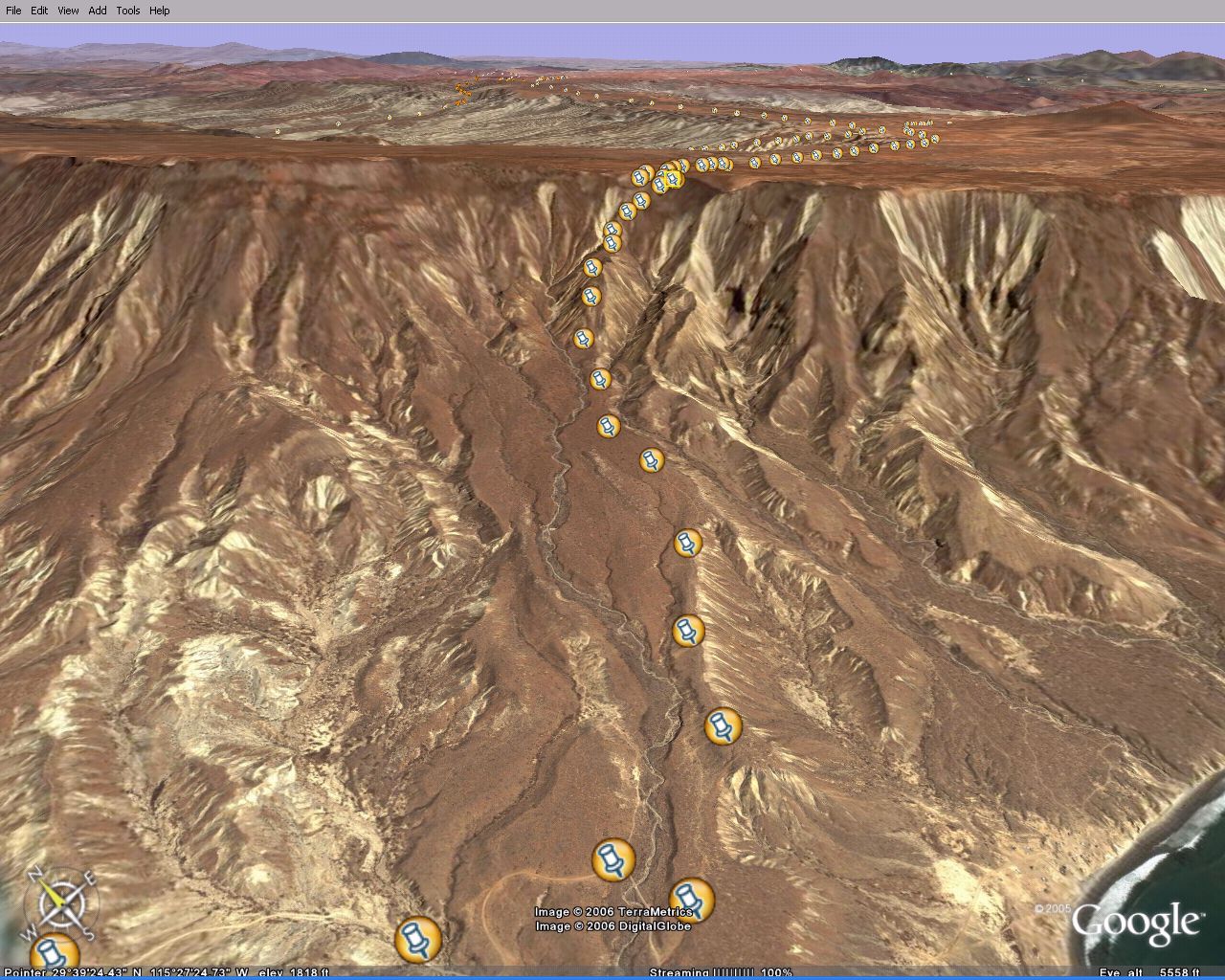
North track looking south
West track looking north
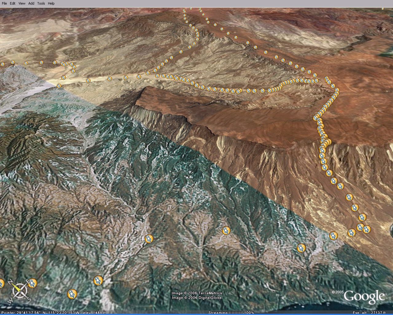
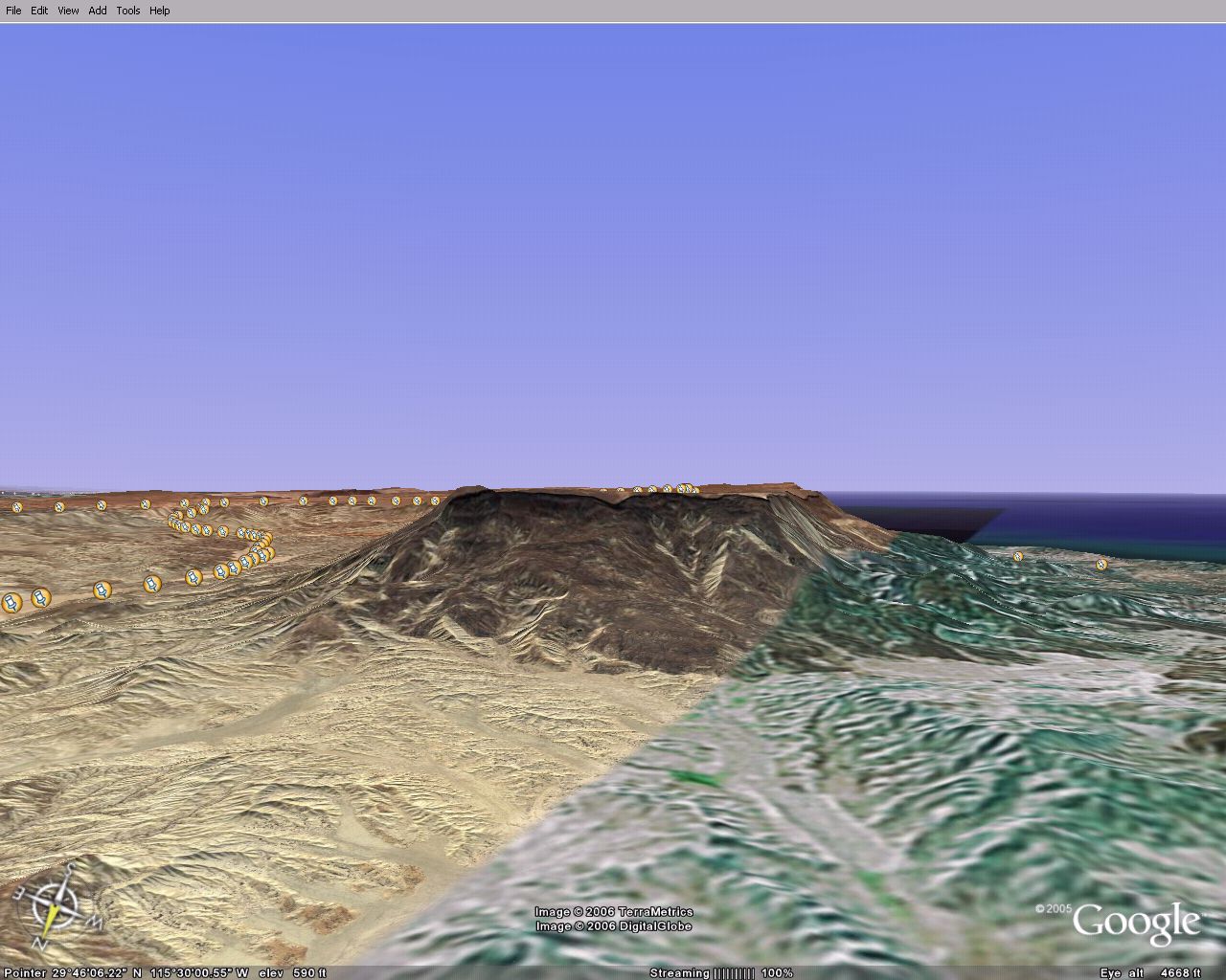
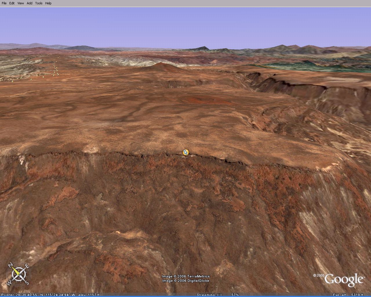
Plateau
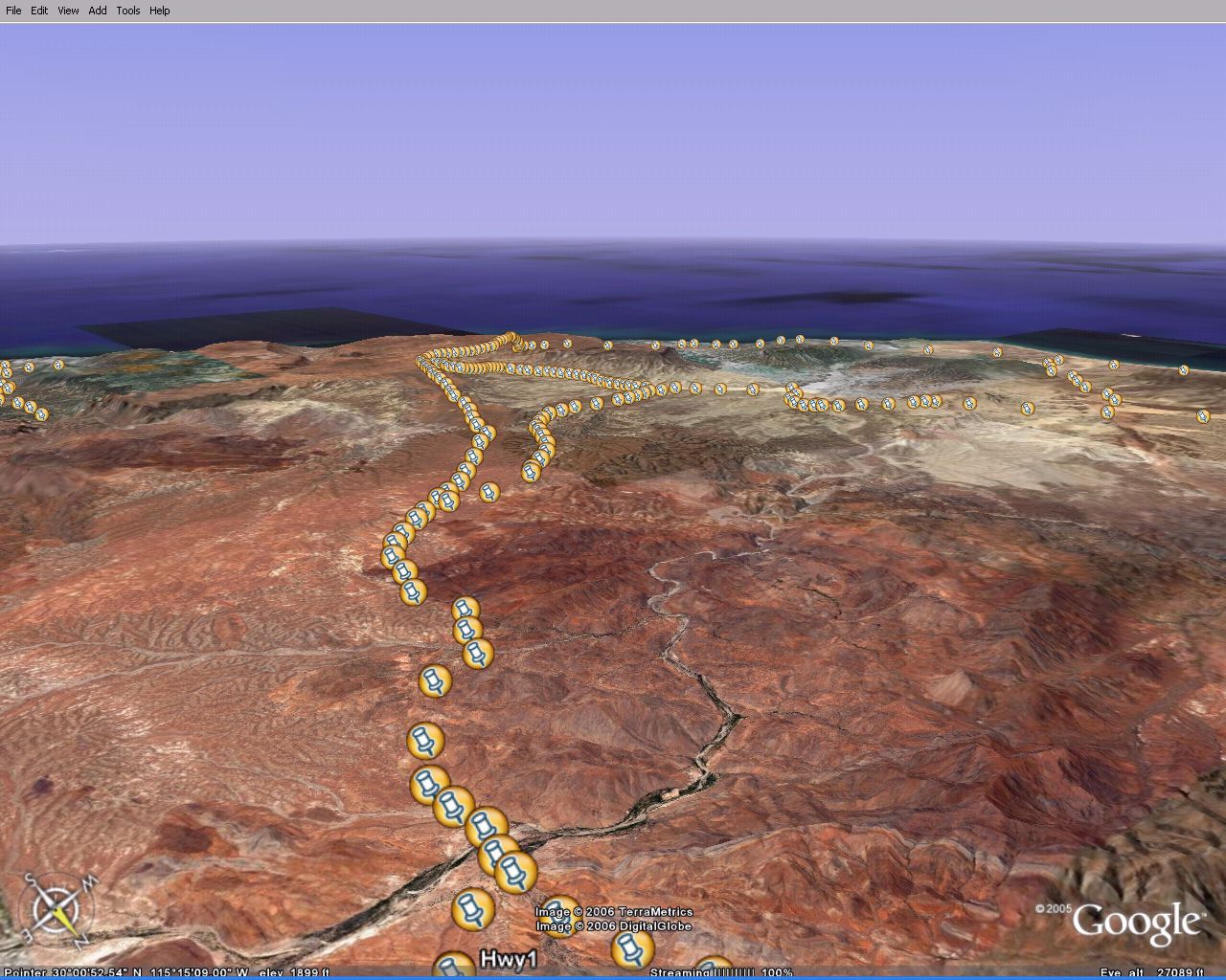
Southwest edge
View from west edge
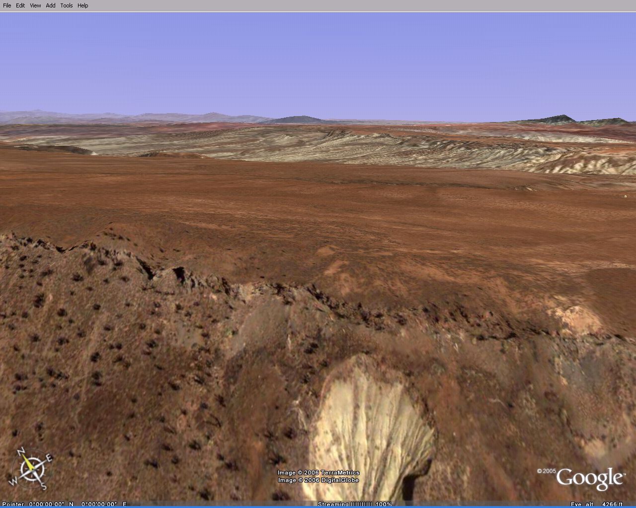
and one fer David:
[Edited on 5-17-2006 by Sharksbaja]
David K - 5-16-2006 at 11:24 PM
Sharks, I would sure like to know how you are doing that!


Thanks...
capt. mike - 5-17-2006 at 06:02 AM
Seve at baja.net can answer you. give him a try.
from flying it i'd say no way but i was high...............well, not literally
4baja - 5-17-2006 at 06:14 AM
way cool. brings back memories of wind surfing there years ago. thanks
Bruce R Leech - 5-17-2006 at 06:15 AM
it sure would be fun to give it a try
ArvadaGeorge - 5-17-2006 at 06:52 AM
I have done some M/C exploring along the bottom of that slope looking for a way up.
My track log shows I went right by that slope & didn?t try it. It probable didn?t look Promising. I also know of 2 other groups that were also
looking for a way though and by passed that slope??? Malcolm Smith was in one of them.
So I have doubts its ride able let alone drivable. That said I?d love to hear I?m wrong.
It would be nice to stay near the beach and not have to go in land to go south
Debra - 5-17-2006 at 08:45 AM
Sharks, I have finally gotten a computer that will let me have some "Google Fun" so last night I downloaded their software...............now I can't
figure out how to "fly right in" as their site tells me. I must be in the wrong site? Just blind? Help please! Thanks
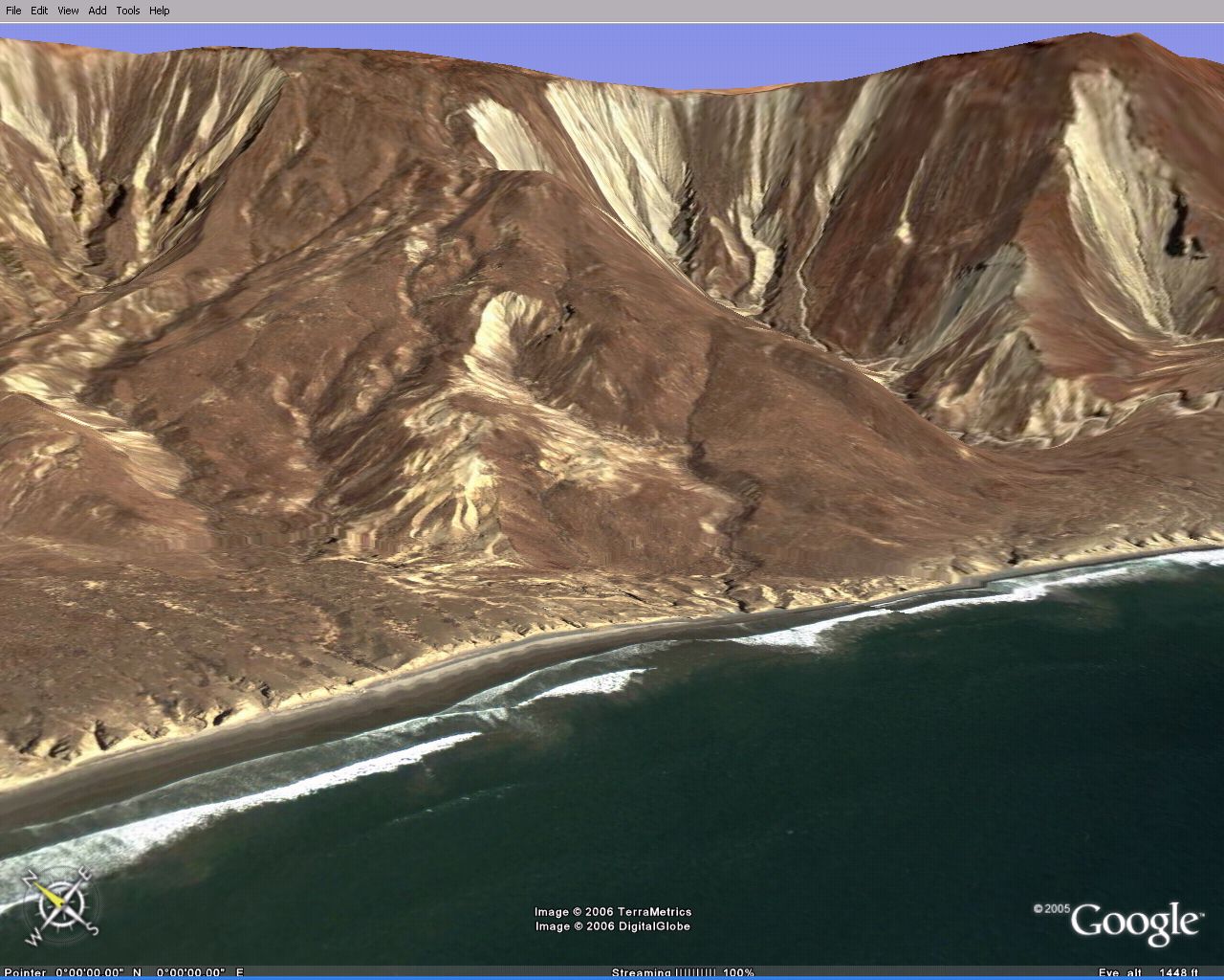
View from the top of the foot path..
Tomas Tierra - 5-17-2006 at 10:20 AM
Or the top of Grovers blue line..
Sharks what do you mean by "doable"?? Truck or mcycle...No. Can only be hiked from the bottom/front side
You must go around the back and up with a truck or bike..Super cool trip if you have the time..
I did a trip report on that drive not to long ago...See trip reports/san carlos mesa...I can't figure out the view thread thingy or i would bring it
up....TT
[Edited on 5-18-2006 by Tomas Tierra]
Hiking trail?
Sharksbaja - 5-18-2006 at 12:02 AM
That is some trail, if you can see it from space. I would like to see a hill climb contest established there!
Used to do that years ago. The hardest part was going back down ifn' ya don't make it. Mucho adrenaline!
Tomas... http://forums.bajanomad.com/viewthread.php?tid=11843#pid1423... Good trip report! Did the road follow what the sat view shows?
Did you make it as far as that trail down the rim? Can you spot where you ended up? The caves are everywhere along the rim. Some serious exploring fer
sure!
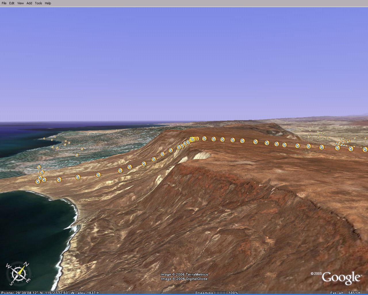
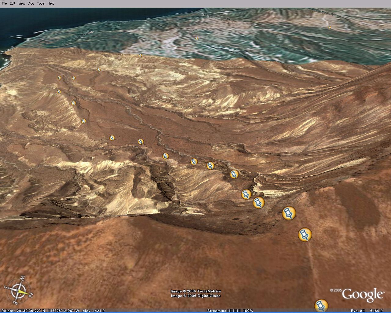
Caves
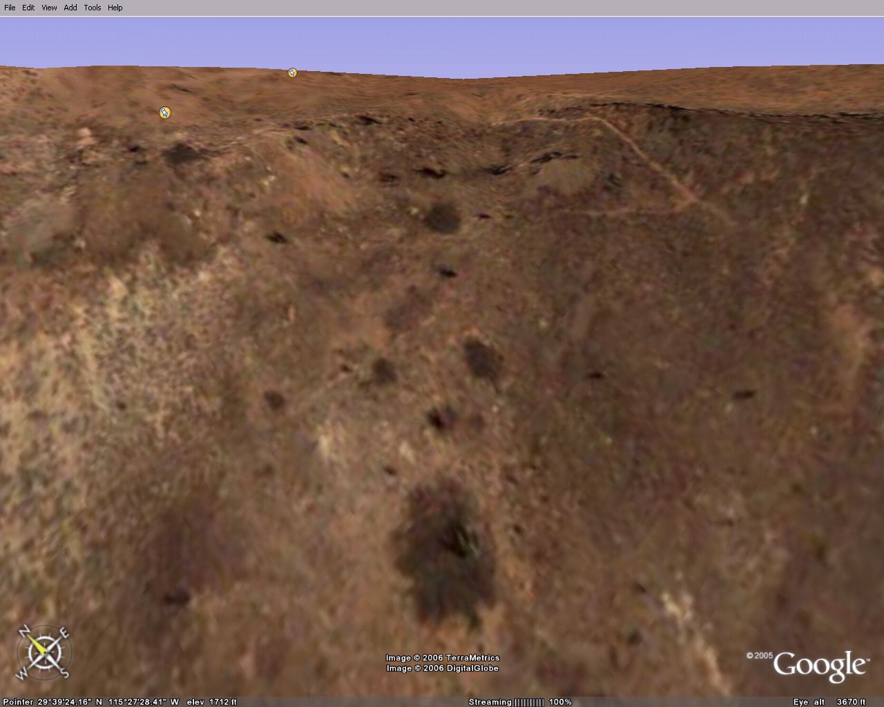
Same caves and that vertical track
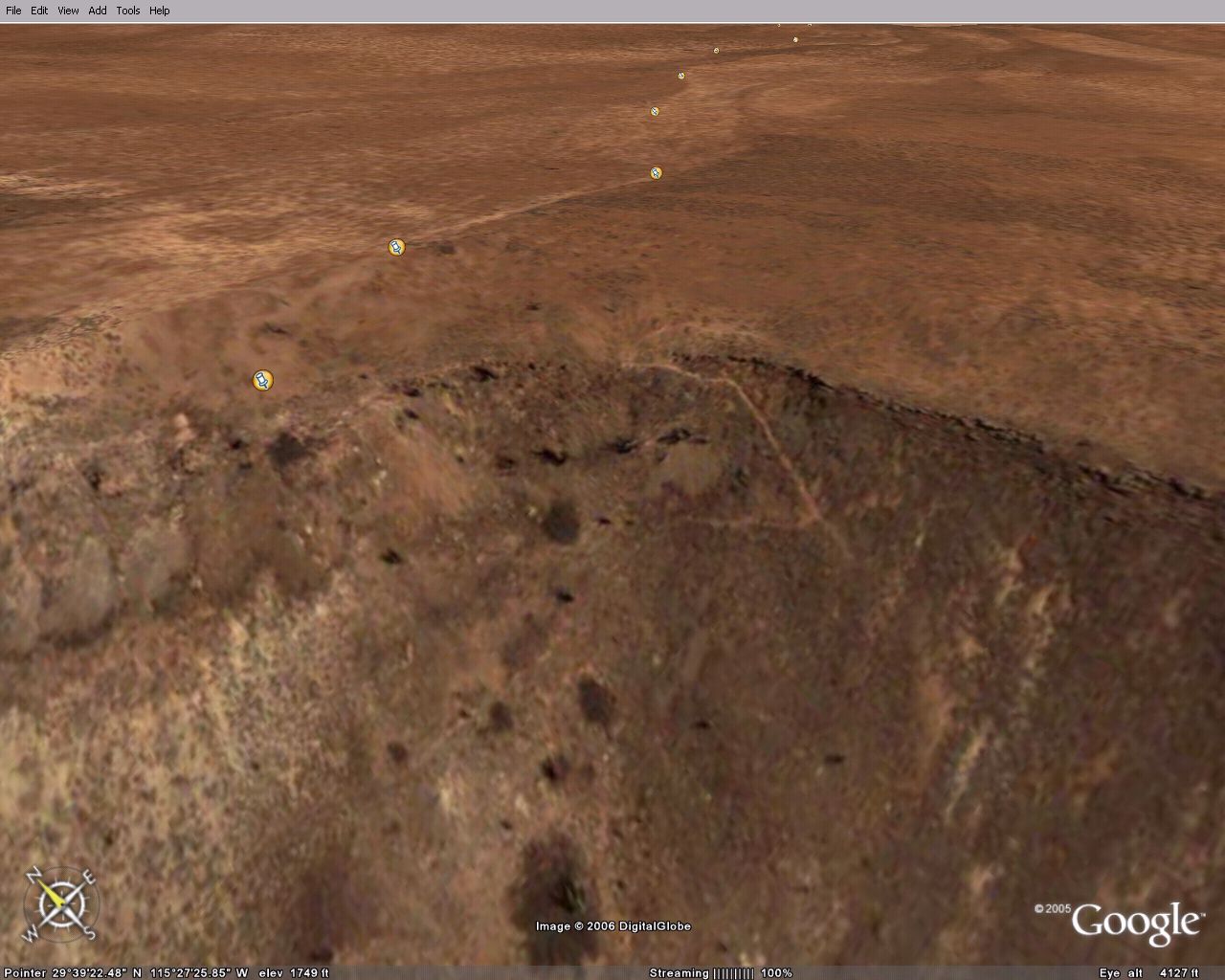
Another track and caves sw area
Closer
Other tracks on sw rim
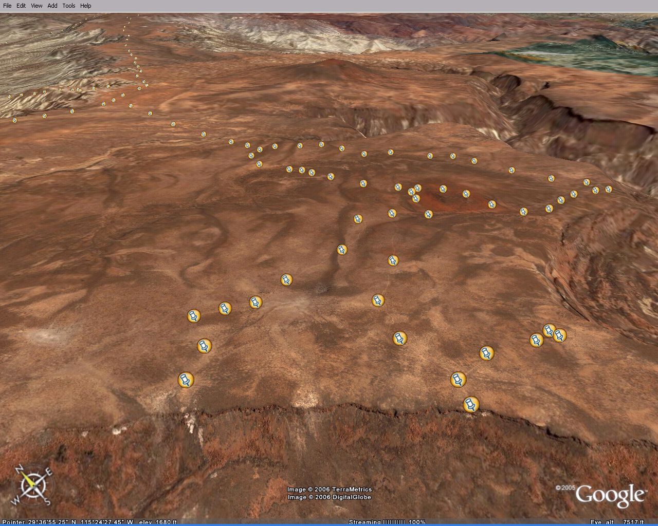
Same view pan out
More caves along rim
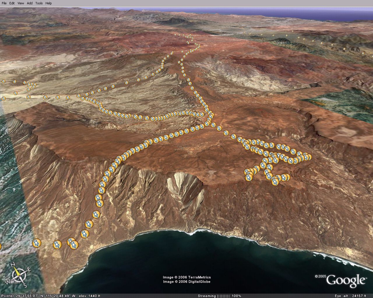
Pan out showing Mesa Santa Catarina to the south
Tomas Tierra - 5-19-2006 at 07:43 AM
SHARKS,
yes, made it to the top of the trailhead in the truck...and yes again the sat view is correct, you go around the back of the Mesa and then up..once
you get up you can go east to El progresso or west to the rim..we drove to the top of grovers blue line....wanted to be further south towards mesa
santa catarina....soooo cool up there, but the road is chitty...TT