BajaNomad

EL CAMINO REAL, from space! (near San Borja)

David K - 3-7-2007 at 01:05 AM

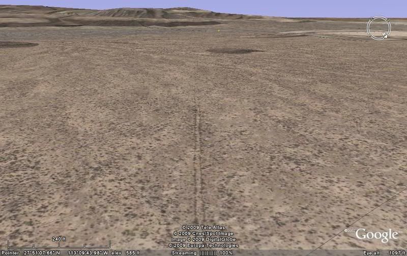
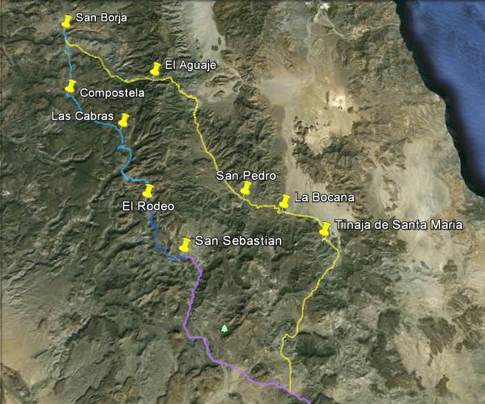
While it is difficult to see the old trail between San Borja and Calamajue, south of San Borja (where Jesuits had time to build their great King's Highway) it is easier to spot!

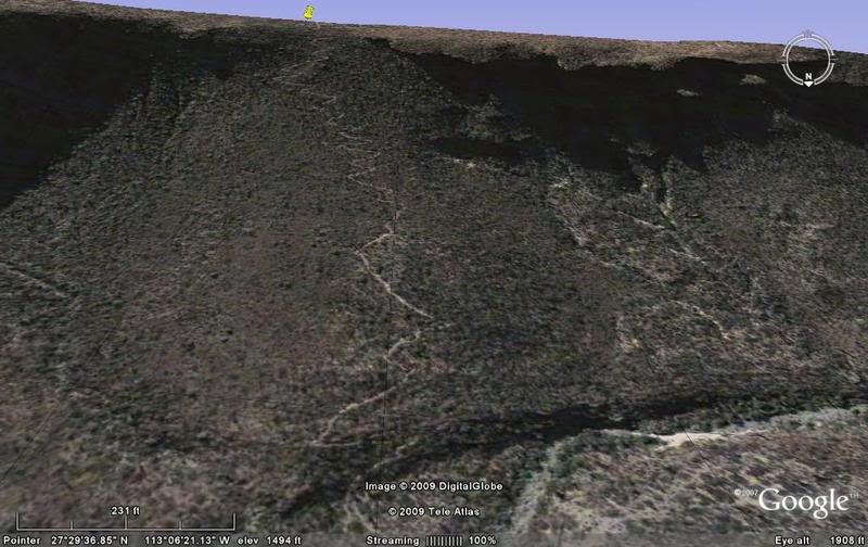
Going south from San Borja, the ECR goes straight south from the grade above the mission and climbs via several switchbacks seen here:
ECR near San Borja-1

It is a deep warn path across the mesa: ECR near San Borja-2

ECR near San Borja-3

ECR near San Borja-4

Here the Camino Real goes into a lower resolution area: ECR near San Borja-5

Remember,you can use your mouse and fly over the trail from the points I gave links to, and see much more of it!

More to come!!

David K - 4-26-2014 at 02:18 PM

While I have redone the Camino Real from Space series on Google Earth (more of a 3-D look), these straight down satellite images of the mission road still work from the links I posted here 7 years ago!

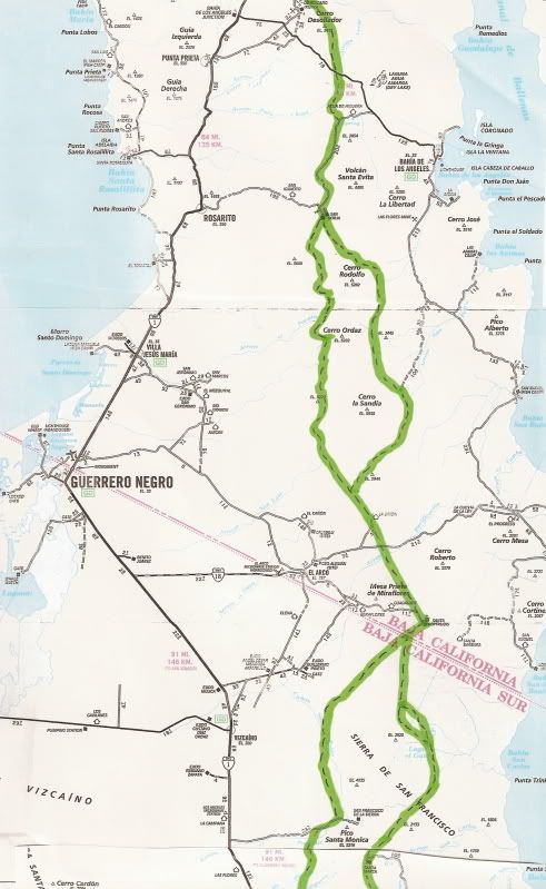
Links to the entire Jesuit ECR series of images and maps are on this page: http://vivabaja.com/missions2/page13.html

Whale-ista - 4-26-2014 at 02:24 PM

very cool! thanks for sharing the links. The persistence of these changes over time is amazing...

Walk it

bajaguy - 4-26-2014 at 02:37 PM

David, I'm sure you have mentioned this before, but has anybody recently (within the last 20 years) walked and documented the entire ECR in Baja??

David K - 4-26-2014 at 04:13 PM

Quote:
Originally posted by bajaguy
David, I'm sure you have mentioned this before, but has anybody recently (within the last 20 years) walked and documented the entire ECR in Baja??


No, at least not made it public that I know of. One Nomad has been riding much of ECR since 2001.

Graham has walked some parts in the late 1990's... But, the primary mode of transportation is mule.

We have a Nomad who has covered much of the ECR by mule (and other mission side roads)... and she is 'Baja Bucko'.

'Mula' and Mike Younghusband have also been on parts of the mission road.

I have walked just a little of it... near Gonzaga Bay:


... and near El Rosario:


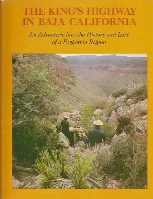
Harry Crosby has done the most to describe what the old trail is like in his 1974 book...


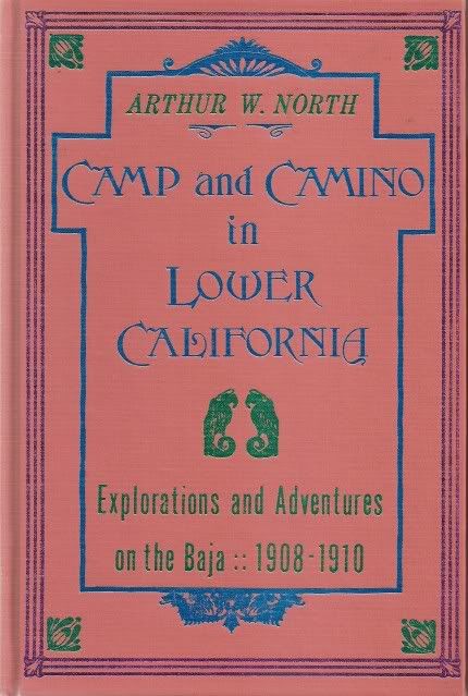
The first detailed account of much of the mission road was from a trip in 1906 by Arthur North...


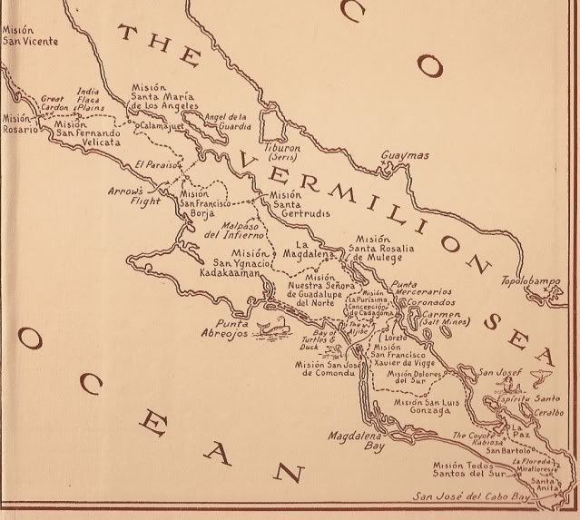
Then there is the popular 1933 novel of life along El Camino Real (set about 1800) in The Journey of the Flame... map inside the book cover...


I have had a preview of an upcoming trip report by a Nomad from Mexicali who (with others) tried to walk up to Mission Santa Marķa from Gonzaga Bay on ECR (as did I in 2003)... So stand by for that report from Emerson.

bajacalifornian - 4-26-2014 at 05:55 PM

Hey D.K.,


Just chased down some posts made a "Long Time" ago.


You had a billion stars then & people were still arguing about you.


Way to go!


Damn if Gypsy Jan, Paulina & a bunch of others were there as well.

David K - 4-27-2014 at 10:17 AM

Hi Jeff, there are a group of us Nomad regulars that go back to the Amigos de Baja days and before me, too... I got a computer and discovered Baja on the Internet about 1997 or 1998 I think? By May of 1999, I had met Baja Mur and he and I went to Mission Santa Maria! That trip was the first web page I made for the future Viva Baja web site: http://www.vivabaja.com/missionsm/index.html

The ECR

bajaguy - 4-27-2014 at 12:30 PM

Looks like a book in the making. Hiking the ECR and staying at old mission sites.

David K - 4-27-2014 at 01:35 PM

Quote:
Originally posted by bajaguy
Looks like a book in the making. Hiking the ECR and staying at old mission sites.


I am game! Sponsors welcome!:light::cool::bounce:

David K - 10-2-2014 at 03:59 PM

Bump for Mando

sargentodiaz - 10-5-2014 at 11:15 AM

As I posted on another forum, I just read where the Jesuits made a great effort to try to make el Camino Real as direct between the missions as possible. But, the terrain seems to be totally against that.

Father Baegert didn't even both to try to measure the distance in leagues/miles and did all of them in the hours it took by horse/mule.

David K - 10-5-2014 at 05:55 PM

Quote:
Originally posted by sargentodiaz
As I posted on another forum, I just read where the Jesuits made a great effort to try to make el Camino Real as direct between the missions as possible. But, the terrain seems to be totally against that.

Father Baegert didn't even both to try to measure the distance in leagues/miles and did all of them in the hours it took by horse/mule.


They were great road engineers, the Jesuits... or some of them anyway. The El Camino Real did run straight as an arrow everywhere the terrain allowed... then they had switchbacks built when they came to a mountain slope or canyon.


There were often parallel Jesuit roads, used at different times of year to to reach different visiting stations of the missions...


Google Earth makes finding the roads built in the 1700's fun.