BajaNomad

EL BARRIL MYSTERY by Choral Pepper

David K - 11-25-2007 at 09:54 AM

The following is a chapter from the late Choral Pepper's unpublished book, 'Baja's Missions, Mysteries and Myths'
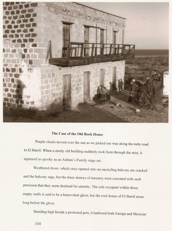
THE MYSTERY OF THE OLD ROCK HOUSE

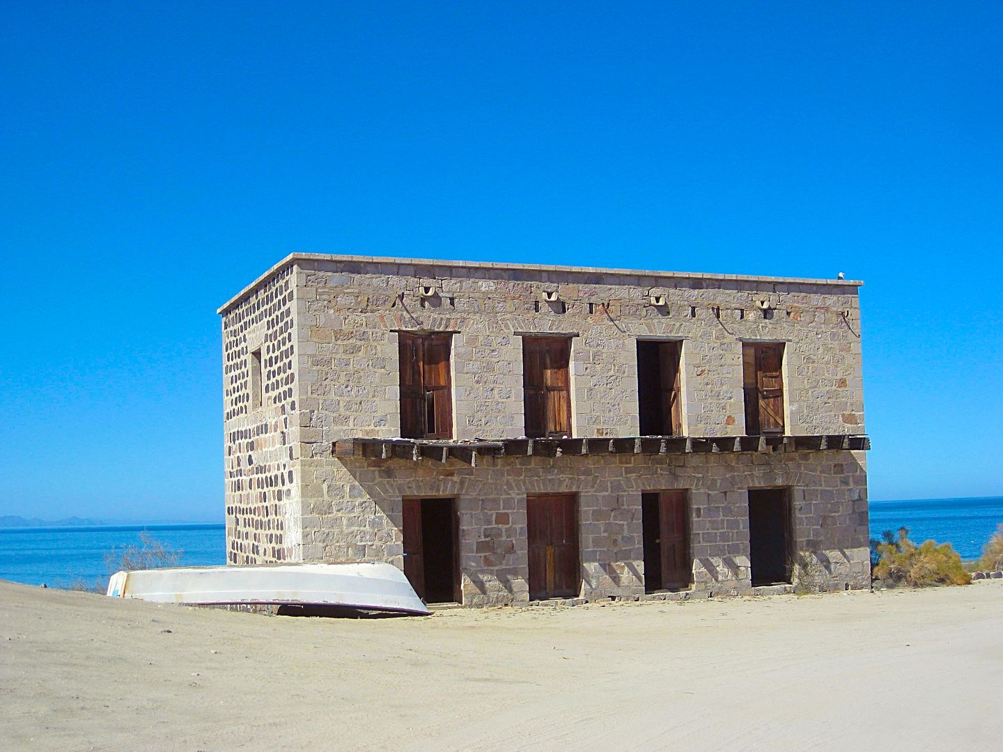
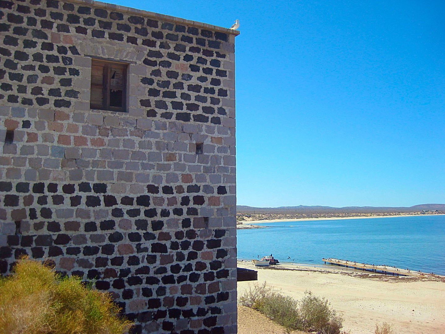
Purple clouds moved over the sun as we picked our way along the rutty road to El Barril. When a sturdy old building suddenly took form through the mist, it appeared as spooky as an Addam's Family stage set. Weathered doors that once opened onto an encircling balcony were cracked, and the balcony sagged, but the three stories of masonry had been executed with such precision that they seem destined for eternity. The sole occupant within those empty walls is said to be a benevolent ghost, but the rock house of El Barril (not to be confused with El Barril on the Cape) arose long before the ghost.

Standing high beside a protected port, it harbored both foreign and Mexican pearl smugglers around the turn of the last century when Baja's pearl beds were being exploited for exportation. Hillocks of eroded, bleached shells that surround the house lay as testimony to those independent entrepreneurs who took advantage of the rock house's secluded location to carry on their business in a tax-free atmosphere. But that wasn't the original purpose of the house. The intent of the German gentleman who built it was not to provide housing for pearlers, although he did have the smuggling of another, more astonishing commodity in mind.

In 1864, Mormons in the Utah territory were having trouble with the United States government. A military fracas seemed imminent. Expected freight shipments that had to be carried thousands of miles across prairies and mountains from eastern markets often failed to arrive, but worse, so did newly converted European immigrants called to their Zion in Salt Lake City. To alleviate this desperate situation, Brigham Young conceived of a novel plan. He would establish a port on the Colorado River near the fringe of the Utah territory and transport his European saints directly into the arms of Zion via the Gulf of California to the head of navigation on the Colorado River,

Anson Call was dispatched to do the job. In record time, Fort Callville, which today lies under Nevada's Lake Mead, arose on the banks of the Colorado River about forty miles south of St. Thomas, a farming community on Utah's Muddy River also now inundated by Lake Mead. With the help of fellow saints from the Muddy River mission, Brother Call constructed a massive rock-walled warehouse 120 feet long by 30 feet wide and a substantial rock residence for himself, both similar in structure to the rock house at El Barril.

With his storerooms completed by February, Call received a discouraging blow. It would be at least three months before anything would arrive to store in them. Steamboats made regular progress to mines and ore mills located along the lower Colorado River, but those at the upper end had to be ring-winched through the treacherous Black Canyon rapids. During many months of the year, the water was too high and swift, or too low, to permit safe navigation. Call learned that the best he could hope for would be three trips per month from July to November. This necessitated a plan for safekeeping merchandise and converts brought up the Gulf on ocean-going vessels from distant ports until such time as they could be transferred aboard a sternwheeler and transported up the Colorado to Fort Callville.

At first it was believed that gentiles (non-Mormons) at ports south would cooperate by holding goods until the upper waters became navigable, but less than a month after the warehouse was ready for business, a steamboat captain commissioned by the Mormons to carry their freight to Fort Callville encountered opposition. "The ports below seem to be jealous of the Mormon post," he complained to the editor of the Deseret News. The brethren were forced to make an independent arrangement along the Gulf of California until such time as their converts and supplies could be transported north.

El Barril had been known since Spanish days as an emergency water stop for vessels. Its remote, but accessible, location on the Gulf lent itself ideally to the Mormon's requirement for a place to conduct business in utmost secrecy. A German convert from the Muddy River mission, who had helped in the construction of Fort Callville, was placed in charge. Soon the rock house rose on the beach above the luminous waters of the Gulf.

The rare Mexican vaquero who worked his way from the inland mission trail through forty-seven miles of wicked chaparral and nightmare masses of granite to reach water at El Barril was content to believe the fancy quarters found there were built by a German trader who bartered ironwood for goods from passing ships. Little did he know that further north such business was conducted by Indians who piled wood beside a rusty container into which boat captains deposited chits redeemable at trading posts.

Records in Mormon archives of this endeavor are scant because the "Mormon Mission" of Baja was short lived. They made peace with Uncle Sam and the completion of the Union Pacific Railroad promised safe delivery of freight at reasonable cost. In 1869 plans for shipping immigrants and freight to Salt Lake City via the Colorado River were declared "unprofitable" by the Church. Both Fort Callville and El Barril were abandoned.

With time, the rock house at El Barril fared better than the old Mormon fort. Convert smugglers moved out; pearl smugglers moved in. The latter made little use of the rock walls, finding them oppressive compared to their native mud-roofed huts with airy ocotillo walls, but water here was fresh and in the shadeless desert it was pleasant to recline in the shadow of the old house while they shucked oyster shells.

Eventually, the rock house was sold to a mining syndicate that operated inland at Camalli and Los Arcos. During the mining heyday of the late 1880s, its sturdy walls protected supplies arriving by boat, but when the mines ran out it reverted to its predestined purpose.

Prior to World War II, the Mexican government decreed it illegal to export live lobsters from Mexican waters to markets above the border. In contrast, Uncle Sam welcomed Mexico's Western lobsters. This resulted in another busy smuggling industry. Flyers, called "bug pilots," cleared primitive runways in remote spots along Baja's coasts where they landed on prearranged schedules to pick up lobster from native fishermen. Because the shellfish had to be delivered alive above the border, time was of the essence. Planes flown by these men were decrepit and small. The air routes they took to evade detection were unsafe. But wind or rain, bug pilots landed on death-defying terrain or took off into solid clouds, dependable as the United States mail used to be. Later, during the war, these same flyers were in demand to instruct bush pilots, and after the war, many became commercial pilots.

But during their exciting days of trafficking in the lobster industry, it was not unusual for a pilot to arrive on an evening prior to an early-morning appointment with his suppliers. In that event, the old rock house gave convenient shelter near the primitive landing strip that today delivers rich vacationers to elaborate new houses rising on the beach at El Barril or to gringo fishermen coming to the nearby resort at Bahia San Francisquito.

Barril Rockhouse-r.JPG - 37kB

[Edited on 1-31-2018 by David K]

Paulina - 11-25-2007 at 10:07 AM

Thank you David!

Barry A. - 11-25-2007 at 10:11 AM

Great info, David K.

Many thanks.

barry

David K - 11-25-2007 at 10:12 AM

El gusto es mio!

I will eventually post all of Choral's chapters on Nomad, as I don't want to wait any longer for a publisher to come forward and I don't have the energy right now to pursue publishing it myself.

They are all gold!

Osprey - 11-25-2007 at 11:24 AM

Thanks David, this is engaging and well crafted. More history from the U.S. side of things:
One sternwheeler left San Francisco, chugged all the way around Cabo San Lucas, up the SOC, then up the river to a popular landing place named Nelson's Landing. There, loaded with goods bound for Callville, they were told by the notorious badlands bad guys around Nelson that Callville had burned to the ground. The ship's captain believed the lie, sold the goods on the spot for ten cents on the dollar, motored back to S.F. Another connection: the former owner of the Nelson museum was Merl Emery who acted as guide for Ray Cannon on one of his famous SOC journeys.

Barry A. - 11-25-2007 at 11:53 AM

"Merl Emory"----hmmmmmmmmm?????

------is that name also associated with Earle Stanley Gardner and his Baja excursions and books?

Barry A. - 11-25-2007 at 11:54 AM

-----and Osprey-----

Do you recall where on the river "Nelson's Landing" is, approximately?

barry

Osprey - 11-25-2007 at 12:39 PM

Barry, got my books mixed up. You are correct -- Earl Stanley Gardner and the famous Tote Goat. Nelson (and Nelson's landing), down a short paved road just south of the dry lake bed as you leave Henderson, Nevada going south on Highway 95. It's the gateway to Lake Mojave which is just a wide spot on the Colorado river before Davis Dam.

shari - 11-25-2007 at 03:39 PM

Cool, I always wondered what that stone building was! It was so out of place there and intriguing. gracias amigo

DENNIS - 11-25-2007 at 03:59 PM

Quote:
Originally posted by Osprey
You are correct -- Earl Stanley Gardner and the famous Tote Goat.

Didn't he have the Baja Burro as well?

Barry A. - 11-25-2007 at 04:39 PM

Yes, and the "butterfly", I think it was called. May be more inventions, too. He was/is (?) a remarkable engineer who lived/lives (?) in Paradise, CA above Chico, as I recall.

I think his name was spelled "Murl".

Barry A. - 11-25-2007 at 05:19 PM

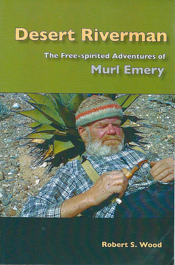
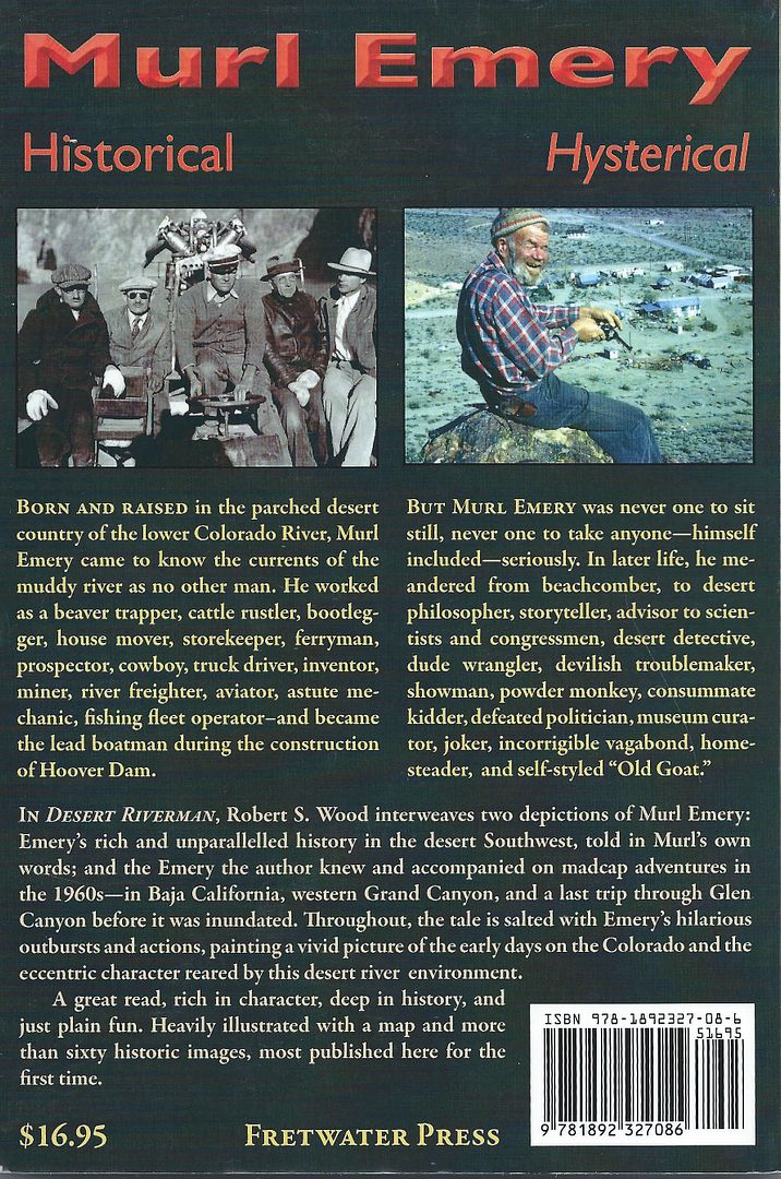
I did some research--------the guy we are calling "Merl Emory" is actually Murl Emory. He grew up on the Colorado River, and was a prospector, and ran boating concessions on the Lake Mead and the river. He was a good friend of Earle Stanley Gardner and went with him on several of the Baja adventures that ES Gardner writes about. There is much about Murl in Gardner's book, "HOVERING OVER BAJA", as well as "HUNTING THE DESERT WHALE".

The guy that lives in Paradise is J.W. BLACK. He is the one that invented the "Pak Jak", "Burro", "Burrito", and the aforementioned, "Butterfly", as well as other "desert" vehicles.

barry

DENNIS - 11-25-2007 at 05:33 PM

I think Gardners Baja books are out of print. I used to have all of them and I'm going to hit the San Diego used book stores and get them again. I know of one store that has EVERYTHING. I once aked if they had a first edition of God and Mr. Gomez and his reply was, signed or unsigned? He had more than one of both.

Paulina - 11-25-2007 at 05:39 PM

Dennis,

FYI
Bernie turned me onto a great online source for baja books. I recently picked up a hardback first edition copy of God and Mr. Gomez for $5.00

www.abebooks.com

P<*)))><

Murl Emery

John M - 11-25-2007 at 05:46 PM

I also have some interesting reseach regarding Emery - and I do think it is Emery and not Emory - at least that is the way Murl spelled it on some documents he wrote.

I have asked permission to post a couple of Emery photos - mostly related to his Nevada activities. There is a chapter about Murl & Nelson, Nevada in the book "Eldorado Canyon and Nelson, Nevada" compiled by Donna Andress.

In the event anyone (Barry A.?) is interested I have Mrs. Andress's email and she still has some copies of her book.

John M

DENNIS - 11-25-2007 at 05:53 PM

Thanks P<*)))>< ....
I've bought from them in the past as a used book source through Barnes and Noble but, it never occured to me to search their inventory. I will.

Murl Emery

David K - 11-26-2007 at 08:51 AM


Murl-r.JPG - 23kB

David K - 11-26-2007 at 08:56 AM

These two pictures from Erle Stanley Gardner's 'Hunting the Desert Whale' c1960

Murl2-r.JPG - 20kB

Fort Call

John M - 11-26-2007 at 04:08 PM

Below is a photo of the rock structure David referred to in the opening post of this thread.

Choral Pepper called it Fort Call. Stanley W. Paher, in his book Callville Head of Navigation Arizona Territory wrote “Many referred to it as ‘Fort Call,’ probably because of the massive warehouse walls.”

Additionally there was a detachment of military – Companies D and then K - Fourteenth Infantry - there for a time, early February 1867 until May of 1868. (Casebier Camp El Dorado, Arizona Territory), perhaps this also contributed to the Fort Call idea.

The photograph of the stone structure pictured here was taken in the 1930s just before being flooded by Lake Mead. (photo from: Steamboats on the Colorado River by Richard E. Lingenfelter).

The establishment there was more commonly referred to as Callville.

John M.


[Edited on 11-26-2007 by John M]

Image2.jpg - 18kB

Hook - 11-26-2007 at 04:24 PM

Thank you for the original story, David. I found it very interesting.

So, is it still standing? Is this the El Barril south of San Francisquito?

David K - 11-26-2007 at 05:59 PM

Yes, the Villavicencio's Rancho El Barril is just south of Punta San Francisquito. They have a nice runway and Erle Stanley Gardner made it a base camp when he was exploring the area in the mid 1960's.

I have not personally driven into the ranch, but it sounds like Shari and Paulina have both seen it...

Barry A. - 11-26-2007 at 08:18 PM

I was at Rancho El Barrill (and points south) about 3 years ago. The 3 story rock building is deffinitely still there, and is a little way down (southeast) the coast from the Rancho, and clearly visible from the rancho. You can easily drive to it.

There are now other small structures around the rock structure, and people do live there. The Rancho itself is looking very prosperous, and there are several nice houses within the Rancho grounds.

There are some mansions further north from the Rancho which are pretty much inaccessible, (unless you drive through the Rancho), as far as I could determine.

The airstrip is in good repair (at least then it was), and close by the Rancho.

All this country is simply wonderful, and little changed from the days of Uncle Earle (Gardner) and his adventures.

Choral Pepper

John M - 11-26-2007 at 09:05 PM

Wow, her talent and skill at research must have been fantastic. Great stuff.

John M

bacquito - 7-9-2008 at 07:57 PM

Hopefully I'll get to see it soon.

Neal Johns - 7-10-2008 at 08:15 AM

I'm going to blow the whistle on that rotten friend of mine, John M. He is an old time Baja guy, the president of the local historical society out in the Mojave and has written a book or two. I would give you the real dirt (including how he chickened out of continuing westward from the mine at La Turquesa and left me there to die), but he is giving a barbecue this summer so my lips are sealed.

David K - 7-10-2008 at 08:27 AM

Maybe The squarecircle should be at that BBQ to give a talk on how to drive through La Turquesa Canyon?:light::bounce::biggrin:

Here's the canyon looking west from the mine... you can see the grade going up the mountain... Photo by 'steekers'

[Edited on 7-10-2008 by David K]

IMG_2463r.JPG - 49kB

David K - 7-10-2008 at 08:31 AM

Squarecircle's Land Rover climbing the grade!

scan0002r.JPG - 35kB

bajasol - 7-10-2008 at 09:50 AM

Thank you David for that amazing Baja story. I am still hungry for more.

David K - 7-10-2008 at 06:27 PM

You are welcome bajasol!

Go to the Nomad Historic Interests and Literature forum... I have posted a few of Choral's chapters there... Other stuff too!

David K - 1-31-2018 at 09:29 AM

Bump to one of the good old (10 years old) threads.
I have since been to El Barril and the old rock house generally attributed to the Ybarra Mining Company of Calmalli, to the west, last June...


4x4abc - 1-31-2018 at 06:18 PM

smart - the SW facing side of the house with lighter colored rocks

advrider - 1-31-2018 at 07:32 PM

That is very cool, I'm going to have to get out there and see that. Never been down the coast past SF.

David K - 1-31-2018 at 08:16 PM

Oh boy, are you in for a treat!

elbeau - 2-1-2018 at 01:58 PM

Here's the best photo of callville that I've come across. On the right you can see the steamer "Colorado" with it's smokestack:


David K - 2-1-2018 at 04:41 PM

Thank you, elbeau!
Good to see you posting... Happy New Year!
Do you have any opinion or thoughts on Choral Pepper's theory about El Barril and the Utah migration up the gulf and Colorado River?

David K - 11-11-2018 at 10:33 AM


From Choral Pepper's m/s with one of here 1966 photos.

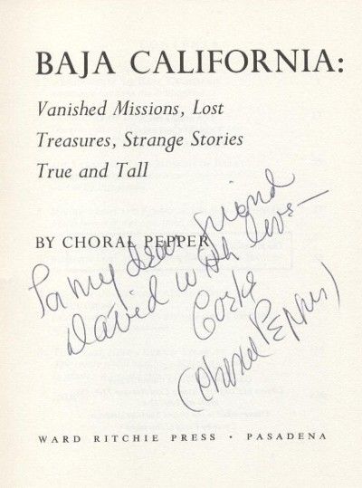
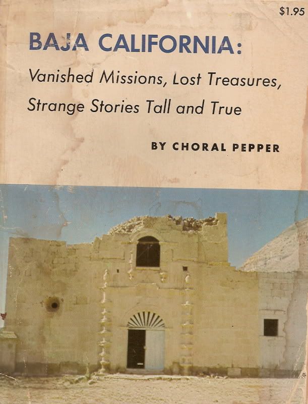
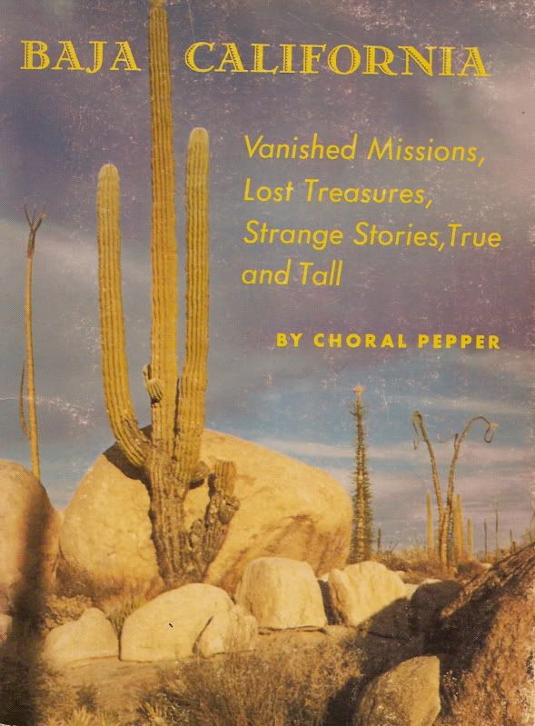
The manuscript was for a revised edition of her 1973 book (which had a 1975 revision and slight title change). Here is the cover page from my copy that Choral (Corke) signed for me:


[Edited on 11-11-2018 by David K]

David K - 11-11-2018 at 10:51 AM

Murl's book:


David K - 11-11-2018 at 10:56 AM

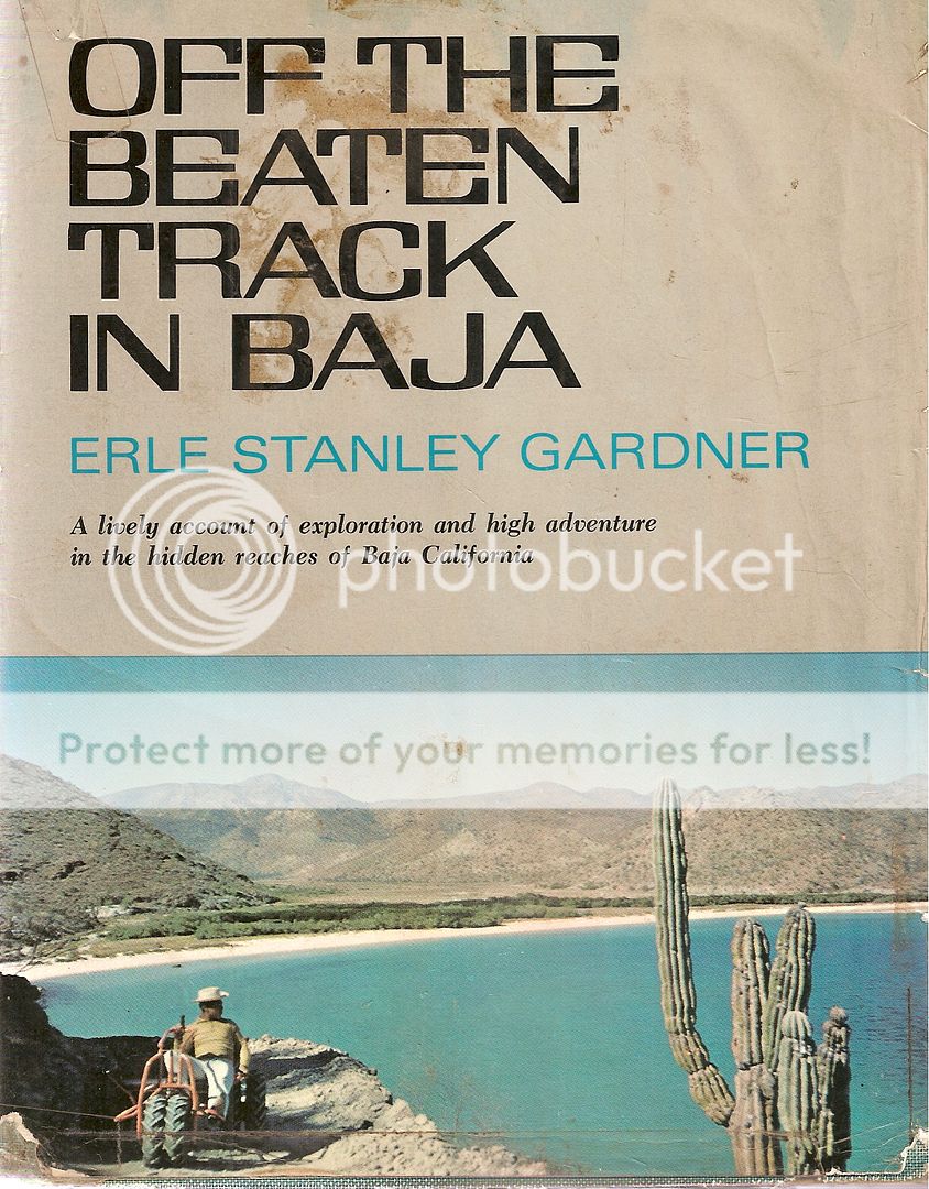
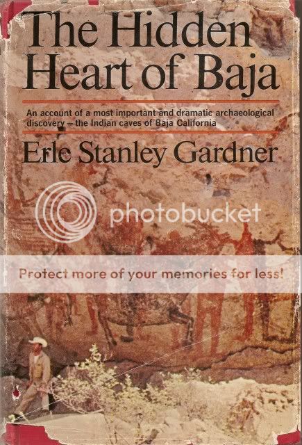
Erle Stanley Gardner's book from 1967:


His 1962 book, mentions El Barril as well:


Here are the two editions of Choral Peppers book (1973 and 1975):


ehall - 11-11-2018 at 11:57 AM

Quote: Originally posted by advrider  
That is very cool, I'm going to have to get out there and see that. Never been down the coast past SF.


Got an open seat and towing a bike trailer. Dec. 1-10. Schedule is wide open first 5 days.

JZ - 11-11-2018 at 02:08 PM

Interesting. I kept a boat out at Calville Bay on Lake Mead for about 5 years, and I'm just now studying a trip around El Barril. Who knew.


[Edited on 11-11-2018 by JZ]

gueribo - 11-12-2018 at 10:28 AM

Nice bump, David. I've enjoyed Choral Pepper's writings and wry humor.

Vince - 11-13-2018 at 06:21 PM

David, just read Choral Pepper's account of El Barril. It answers several questions I had about that area. I flew in there several times to visit Dianna and her husband Hevs, who passed away about that time. Then she remarried and stayed there care taking for awhile. We were with Tom Carlin who was close friends of one of the owners (Hugh Kelly) of the nice house at the end of the runway, overlooking the Sea. Hugh Kelly and his Tahitian friends came there every year. It was a pleasure to stay with him and his Tahitian family. Kelly died but his daughter is still a friend or ours. This was all 15-20 years ago. Wonderful fishing around the area. Thanks for filling in some history with Coral's article. Always looking for more.

David K - 11-13-2018 at 08:13 PM

Baja and Old California history are great for adventure stories and they just pull at me to head down and see these places in person as well as research for more information on them. My mission book was so rewarding to produce in 2014-2016.

For the Choral Pepper fans, I have a newly discovered letter from 1964 from a Desert Magazine reader detailing a Jeep trip to San Ignacio that took a month and included a mule ride to the rock art sites, not long after Erle Stanley Gardner "discovered" them.
I will share this letter with you all, soon!


JZ - 11-13-2018 at 08:46 PM

Quote: Originally posted by David K  
Baja and Old California history are great for adventure stories and they just pull at me to head down and see these places in person as well as research for more information on them. My mission book was so rewarding to produce in 2014-2016.

For the Choral Pepper fans, I have a newly discovered letter from 1964 from a Desert Magazine reader detailing a Jeep trip to San Ignacio that took a month and included a mule ride to the rock art sites, not long after Erle Stanley Gardner "discovered" them.
I will share this letter with you all, soon!


I've been sucked into learning about this history a lot lately.

This site is a treasure trove of information.

David K - 2-7-2021 at 09:36 AM

Today, I feature the El Barril Rock House at
https://www.facebook.com/groups/bajamissions

bajaric - 2-7-2021 at 10:45 AM

Interesting story. It certainly is plausible that the Mormons built the rock house. It is similar in appearance to the stone building at the landing on the Colorado River that they also built. Other than the missions, there were few 1800's era structures built of stone in central Baja; most were adobe or frame houses.

The landing at El Barril served as a supply port for the mining town of El Arco in the late 1800's.


[Edited on 2-8-2021 by bajaric]

David K - 2-7-2021 at 01:43 PM

In 2017, El Arco (including the big military base) was abandoned except for a cattle ranch now there in the middle of a ghost town.

I had been through El Arco twice before, in 1966 and 1983... both times it was just a small village clinging to life.

In 1960, the population estimate was 150, and called a "small community at the site of a former gold mine"... (Gerhard & Gulick).

G&G reported that over 1,000 workers were employed in the gold mines developed by an American company in the 1920s. A prolonged strike by miners caused an end to operations.

In Arnold Senterfitt's 1972 Airports of Baja California, he mentions the town has a "new lease on life thanks to lots of test coring and excellent results"! The mining company, Larco believed the deposits were so extensive that an open pit 20-30 miles in diameter was in the future here.