Originally posted by mtgoat666
| Quote: | Originally posted by bent-rim
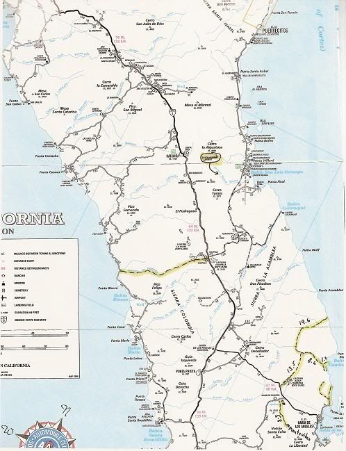
Is is possible to show a detailed picture of a section of the map? |
you can see samples on the nat geographic website -- go google the map title to find it. has OK road detail to be a general road map on way to your
destination, but scale is too big to show minor roads and detail once you reach your destination. |