BajaNomad

Mexicali to San Felipe South Campos 11-08: Report, and photos now added!

David K - 11-19-2008 at 09:45 AM


Here are the details that may interest some, of our 4 day trip:

Mexicali border to Hwy. 2/5 split is 5 miles... DETOUR!!! Hwy. 5 southbound is closed for construction of a new intersection infront of the Costco & Mega markets.

The detour keeps you on Hwy. 2 heading for San Luis R.C. for 2.5 miles to a signed right turn back to Hwy. 5 in another 2.5 miles.

Heading north, we decided to 'chance it' and see how far we could go, if not all the way through (most of the traffic was doing this and not taking the signed detour for Calexico, northbound)... We did get through with just a minor detour jog... but southbound was totally closed... It was 3.8 miles on Hwy. 5 that was detoured... so the total additional miles southbound with the detour was only 1.2 miles.

The day (Saturday Nov. 15) was very windy!! We topped our gas and purchased our beer at the new station north of town in El Dorado Ranch...

4 lanes wide is pushing north!

Hwy. 5 is 4 lanes wide for 13 miles north from San Felipe and crews are right now prepping an additional 6 miles (10 km.) of widening to the north.

On the way south we saw many pre-runners and chase crews for the Baja 1000 this Friday. The race course is on Hwy. 5 through the Rio Hardy area for several miles and takes off again at the old canal crossing on the lower Laguna Salada.

With so much wind blowing, we were very happy to have been invited to stay at BajaRob & Connie's beautiful home at Bahia Santa Maria! We love camping on Shell Island, but Rob & Connie have a great place on the beach and we enjoy our visits with them, too!

Sunday, the wind was not as strong and the 4 of us went for a long quad ride down the beach, visited with other friends at Campo La Jolla, went up to Colonia Delicias on the highway, then back to Santa Maria via the beach. We did ride through Nuevo Mazatlan, and it was empty.

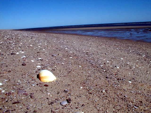
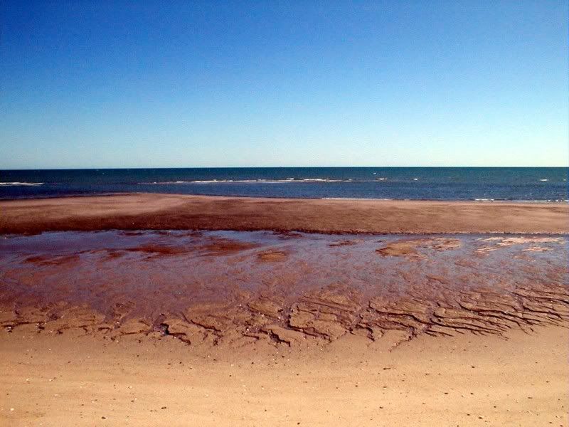
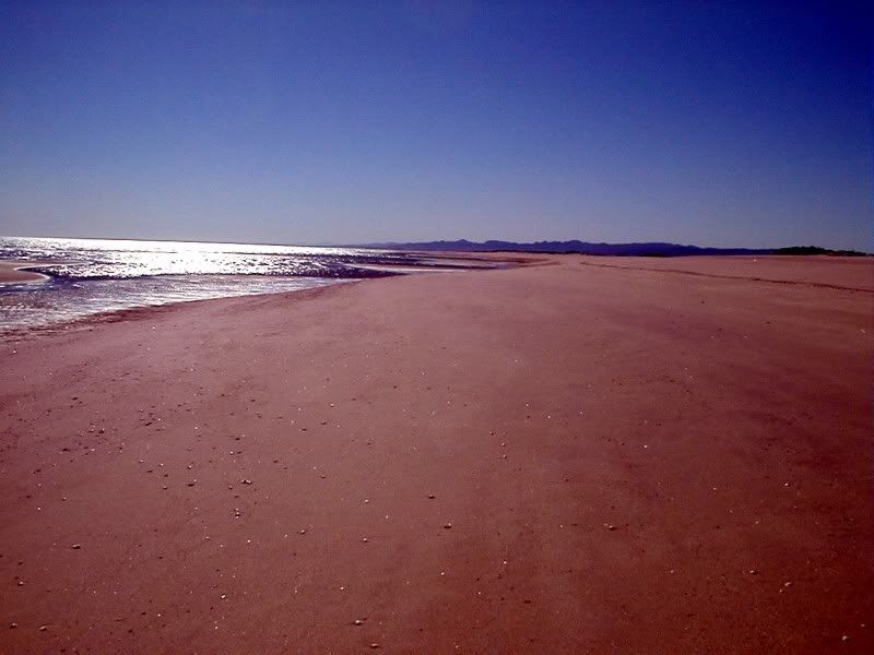
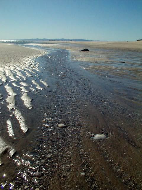
Monday the day was beautiful and Baja Angel and I drove up to Shell Island to spend a few hours on our favorite beach. Did some shelling, saw a large squid that the birds were eating, and just enjoyed the solitude. It was breezy, but more normal day breeze than the Northerly wind of before.

Tuesday the day was perfect, flat water, warm sunshine... and naturally, the day you leave is the best weather day! LOL

Rob made a great breakfast (he is an awesome cook) for all of us and we headed north. Because the new border gaurds can enforce the rule about excess Mexican dirt on your vehicle not being allowed north, we stopped in San Felipe for a car wash to remove the dried mud from our trip to Shell Island the day before.

We used the original Mexicali/ Calexico border to cross (the Calexico west crossing) and had only a 28 minute wait starting at 1:30 pm. The border gaurd was very friendly, asked what we had from Mexico ('only 3 beers, sir' to which he replied "3 cases?")... and it was all smiles from then on!

When I drive up to the gaurd, I already have my side windows rolled down so he can see the entire cab easily, my dark glasses are off so he can see my eyes, and I have our passports in my hand offering them to him. We never have a problem returning to the U.S. using that formula.

On the way home, we stopped in Ocotillo (at the bottom of the grade on I-8) for a great cheeseburger, fries, and icy beers... just north of the freeway exit... Wiley's place. Been there several other times for pizza or burgers.

I have some photos taken on Shell Island Monday I will post later... My regular Nikon camera is in the shop, so I took the older Olympus and I can't find the cord to download the images! LOL

Take care, and have a great adventure on your next Baja trip!!!

Photos next!

[Edited on 11-20-2008 by David K]

PHOTOS 11-17-08

David K - 11-19-2008 at 08:07 PM

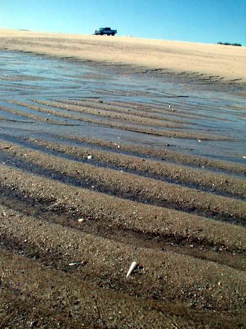
The former bridge onto Shell Island at the end of the (once upon a time) elevated causeway across the back lagoon. Built in 1984, the elevated road has slowly melted back into the lagoon rendering the concrete bridge useless for the past 9 years. Photo is looking west from the beach/ island:


Now, you need a low tide and good 4WD to get through the mud... The highest tides of the month really do seperate the beach from the rest of Baja... Why I call it an 'island' (it is)!

Some more photos...


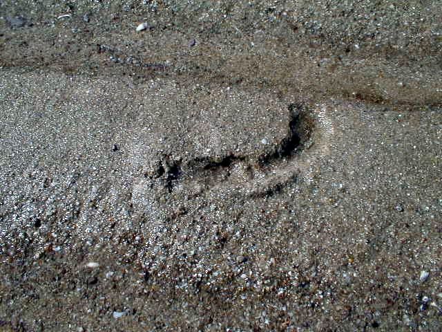
What is this???:


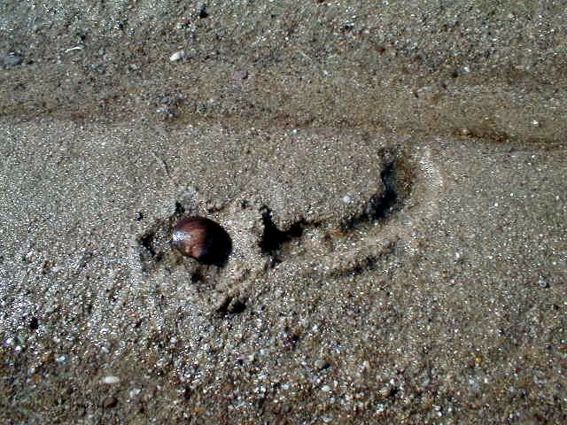
Cho-co-la-te:


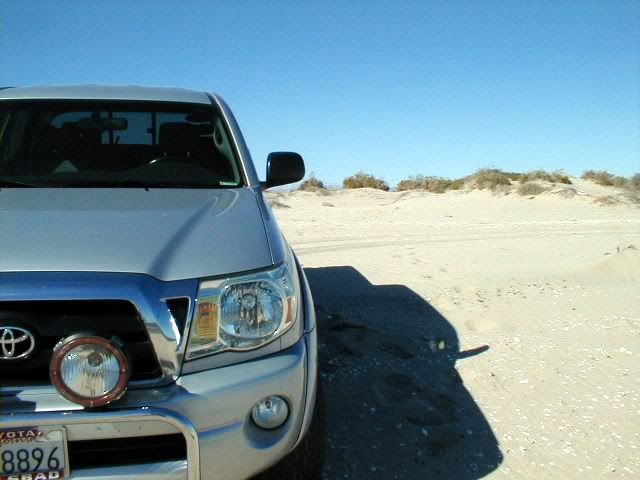
For the ones who expect to see my truck in the photo!:


ENJOY!!

[Edited on 11-20-2008 by David K]

BAJACAT - 11-19-2008 at 08:28 PM

Thanks Dk, Im still looking foward to do atrip with you..

David K - 11-20-2008 at 08:49 AM

A-OK José :light: :tumble:

wornout - 11-20-2008 at 09:09 AM

Quote:
Originally posted by David K
DETOUR In Mexicali :light: :tumble:


Here is a Map showing the distances between landmarks for getting around the two detours in Mexicali. These detours are on the main road from the old border crossing to San Felipe.

Mexical.JPG - 36kB

David K - 11-20-2008 at 09:27 AM

We only found one detour on the San Felipe road three days ago, it was the section in front of the Costco/ Mega. The detour is very well signed, and the only thing different from your map I noted was the mileage between the traffic circle (Hwy. 5 /Hwy. 2 split) and the detour (2.5 miles vs. your 2.8 miles)... Unless you are using a different route?

Cool map, however! Thanks!!

Mango - 1-20-2009 at 11:31 PM

FYI - There is also some construction (mostly northbound) on Justo Sierra around Ave Cuauhtemoc which is causing delays. (3 lanes closed to 2 for repaving)

Ave Cuauhtemoc is closed near Justo Sierra as it is being repaved too.

The Caribbean Wold Series rolls into town in about 2 to 3 weeks and they are busy sprucing the place up beforehand.

I'm just stoked that Mexicali is now part of the Caribbean! Who knew?!? :lol:

David K - 1-21-2009 at 08:36 AM

Quote:
Originally posted by Mango
FYI - There is also some construction (mostly northbound) on Justo Sierra around Ave Cuauhtemoc which is causing delays. (3 lanes closed to 2 for repaving)

Ave Cuauhtemoc is closed near Justo Sierra as it is being repaved too.

The Caribbean Wold Series rolls into town in about 2 to 3 weeks and they are busy sprucing the place up beforehand.

I'm just stoked that Mexicali is now part of the Caribbean! Who knew?!? :lol:


Thanks Mango... I fear most here have no idea where those streets are. Can you post a city map of Mexicali and highlight those streets?

Mango - 1-21-2009 at 11:55 AM

David,

The streets I posted about are just north of the "Traffic Circle with White Block Structure and some people" as indicated on wornout's map. In fact, that street changes from Benito Juarez to Justo Sierra at that traffic circle.

This is not really a major route to the border for those coming from SF; but, its just north of the Calafia Hotel. Justo Sierra is a major north-south route that runs between the two crossings.

Once the road is repaired.. its not a bad route to get to the west/downtown crossing. Just take Justo Sierra all the way to the border fence then hang a left when you get to it. It will feed you straight into the west border crossing. However; the line at the East Gate is almost always shorter and moves faster.

BTW - The baseball stadium is a few blocks east of Justo Sierra off of Cuauhtemoc. If you ever get the chance to go to a game it is a good time and cheap. However; I think the Caribbean World Series tickets are pricier than usual and sold out.