
David K - 11-30-2008 at 10:16 AM
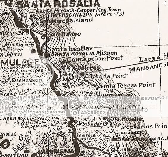
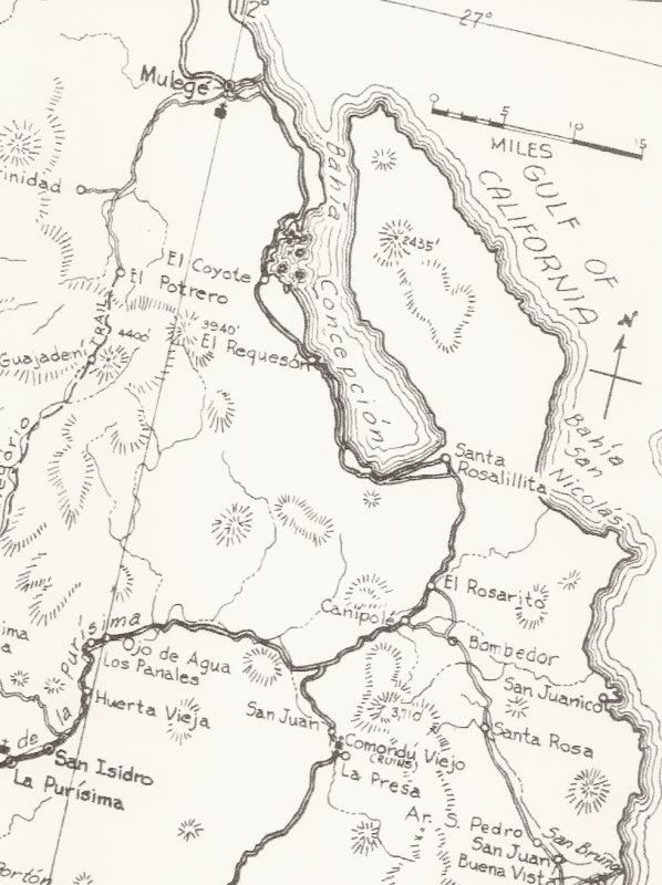
For fun, I did a zoom in on the area around Concepcion Bay as it was shown on various maps...
1757....
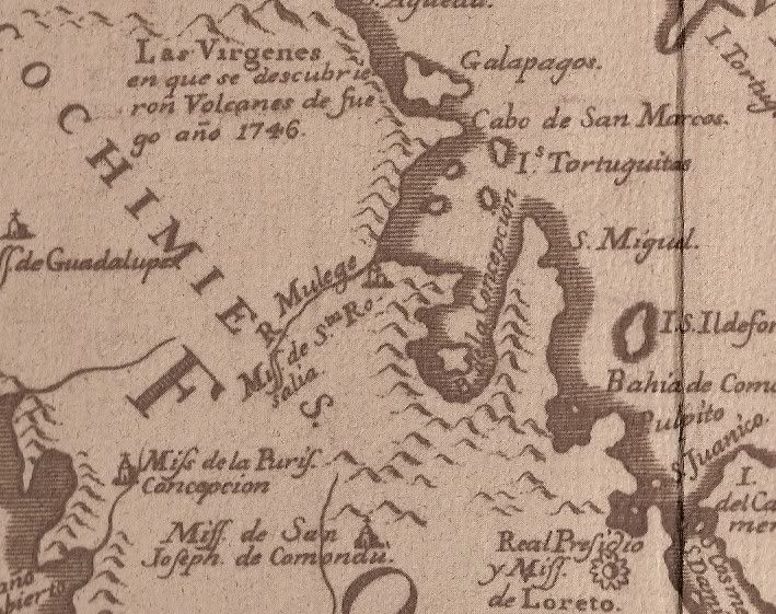
Note the 1746 eruption of Tres Virgenes is mentioned.
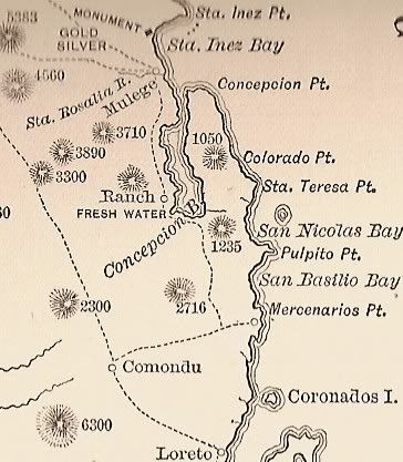
1888...
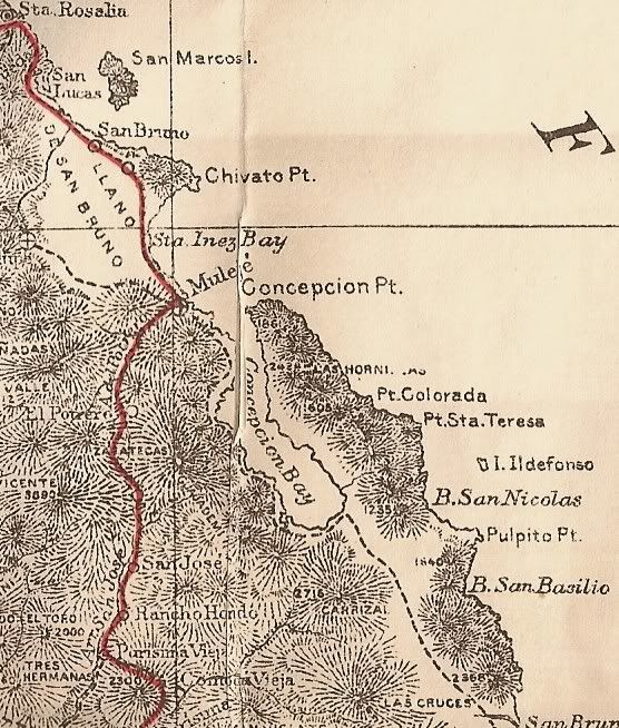
1919...
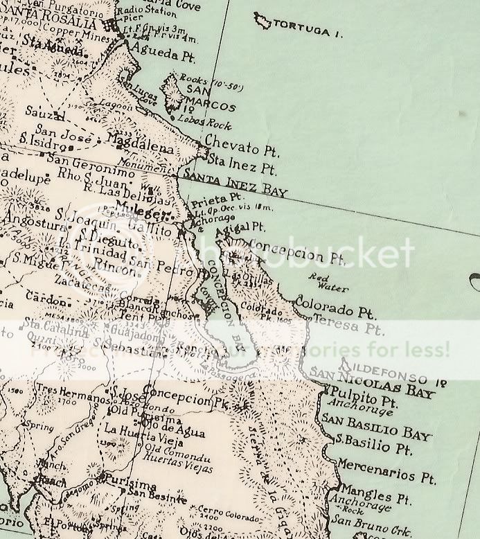
1930...
1941...
The mine near the end of the Concepcion peninsula is arrowed.
1962...
* IF you would like a 'zoom in' of another area of Baja from one of these maps or all of them, just ask!
[Edited on 11-30-2008 by David K]
Vince - 11-30-2008 at 05:54 PM
I wondered where they got the name for the Serenedad airstrip, El Gallito. That was the name of the point of land, many years ago. Thanks, David.
Very interesting maps.
David K - 11-30-2008 at 10:55 PM
You have a 'good eye' there, Vince!