Originally posted by Barry A.
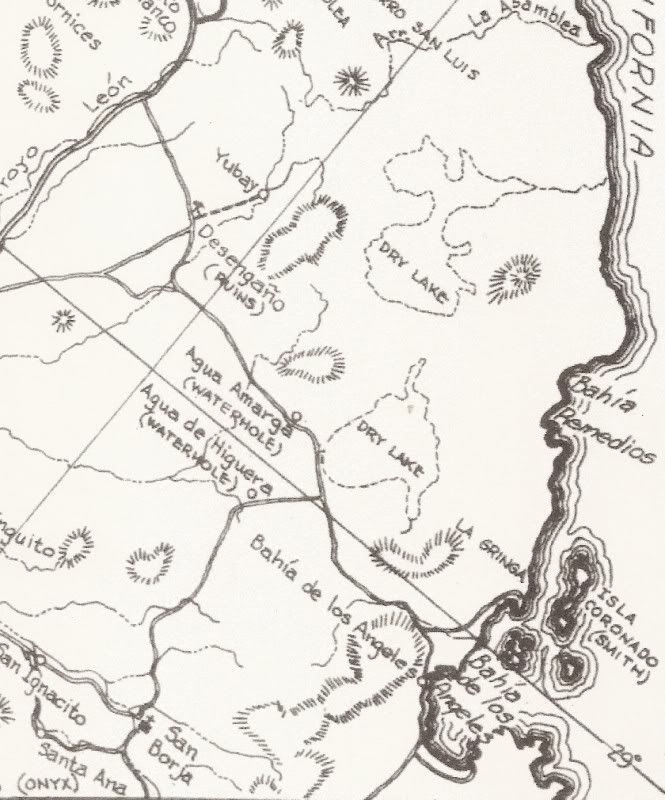
David-----As I am sure you know, Earle Stanley Gardner explored the Asamblea Range with more than helos----he actually got into them with land-based
vehicles that his friends cobbled together, making for quite an expedition. Not sure that anybody has duplicated that effort since.
This trip was chronicled in one of his many books on Baja.
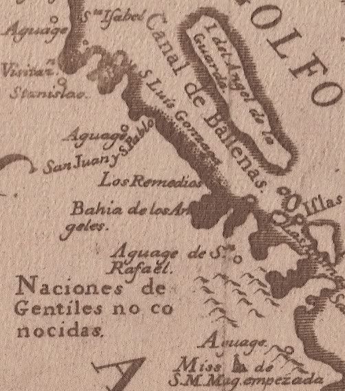
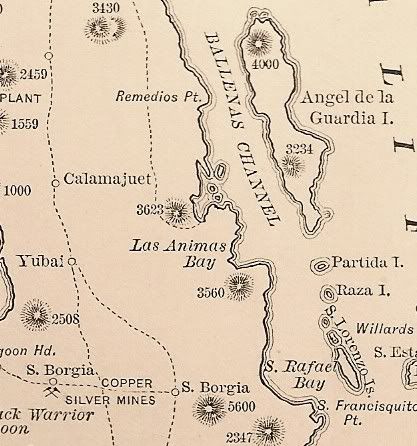
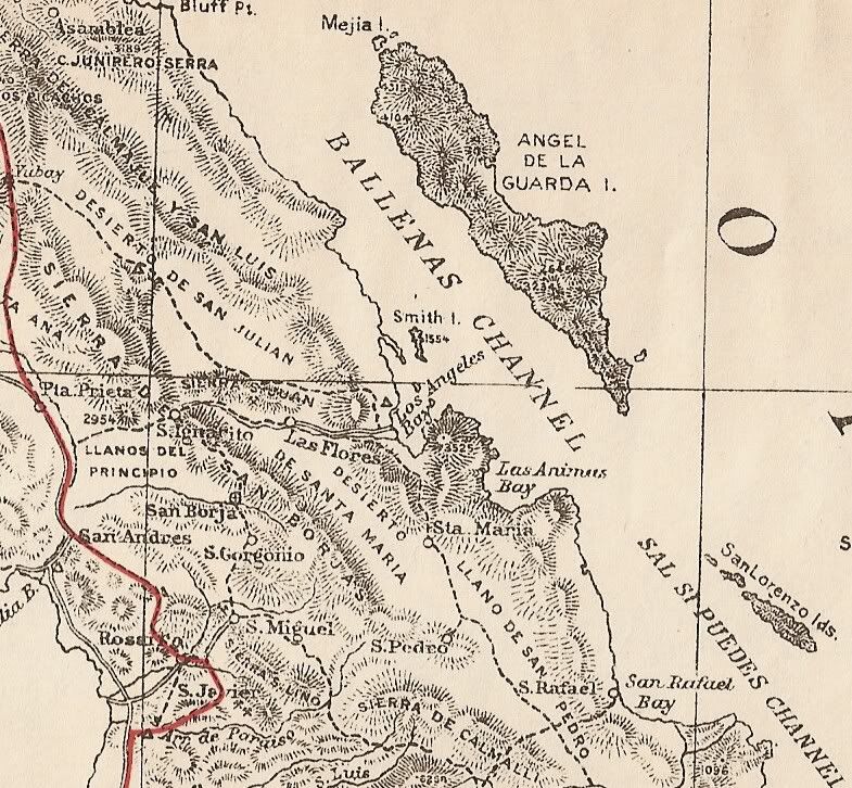
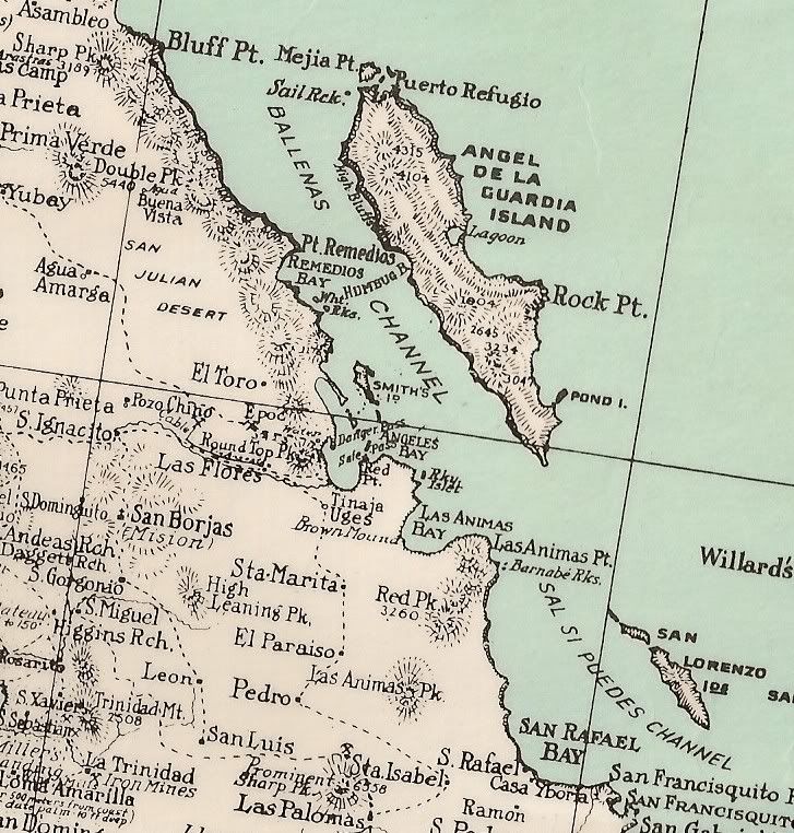
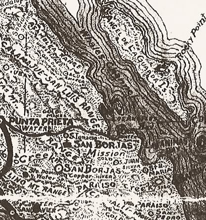
It is fasinating to see how the maps evolved.
Thanks David.
Barry |