Originally posted by fdt
| Quote: | Originally posted by DENNIS
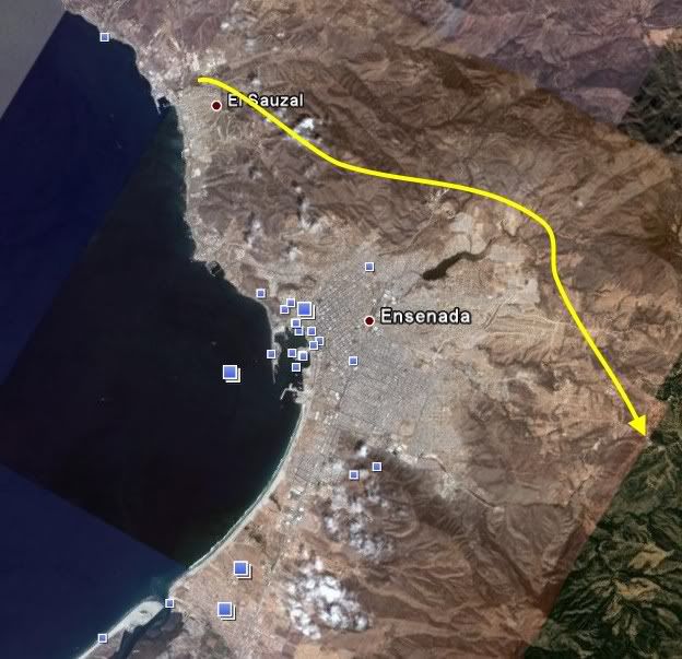
Nope, It will end way east of the city, nowere close to Hwy 1 and no Soriana that I know of there, maybe when all the housing starts.
|
OK...I'm lost and confused.
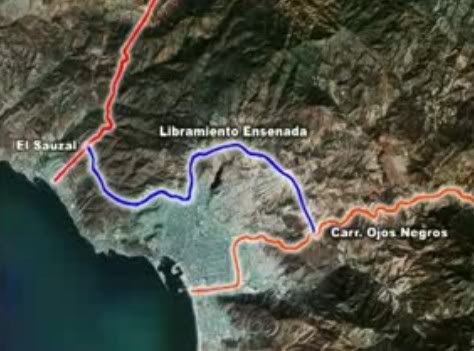
When it hits the road to Ojos, does it cross and continue on it's new path or does it join the road, as in merge, and follow it past the cement plant,
along the river to its end as I described. |