
David K - 2-17-2009 at 04:19 PM
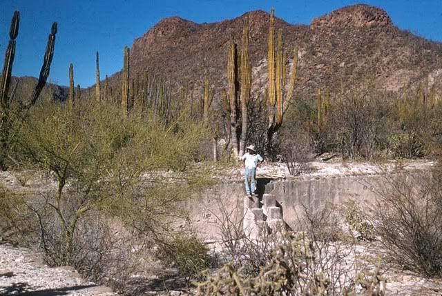
Baja Nomad member Tehag sent me his recent photos of the 1769 ruins of the San Javier mission visita of La Presentación, located about 12 miles south
of San Javier. The ruins of the chapel, granary and pila (reservoir) are still visible though disappearing! The doorway was reported collapsed not
long ago, after over 230 years since the Franciscans built the visita when they took over mission activities from the Jesuits.
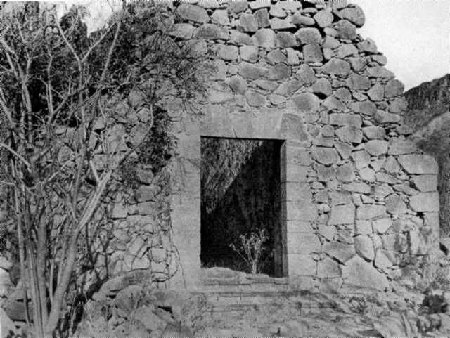
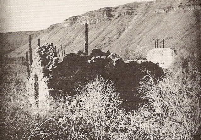
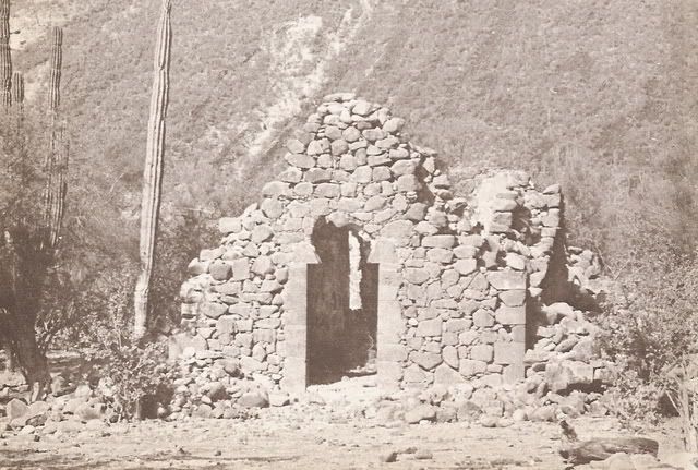
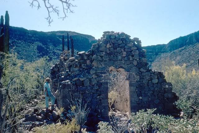
I decided it would be interesting to see the stone visita ruins over more than 100 years since the first photo (?) was taken about 1905.
1906 Arthur North from his 1908 book: 'Mother of California'
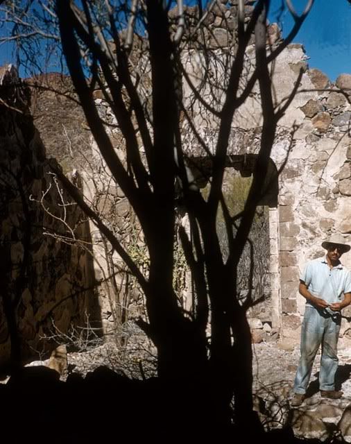
1950 Marquis McDonald from his 1968 book: 'Baja: Land of Lost Missions'
1950's? Mike McMahan from his 1973 book: 'There it is: Baja!'
1956 Howard Gulick from his research trips for the 'Lower California Guidebook' (1956, '58, '62, '67 editions)
1998 Nomad 'Kevin in Oklaoma' for our Baja Missions web page on VivaBaja.com (5 photos)
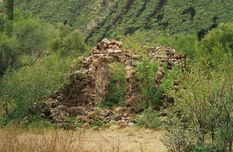
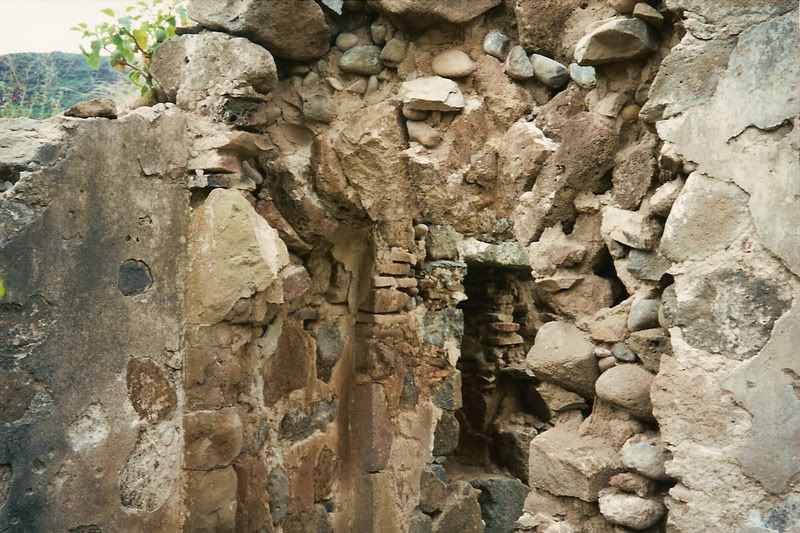
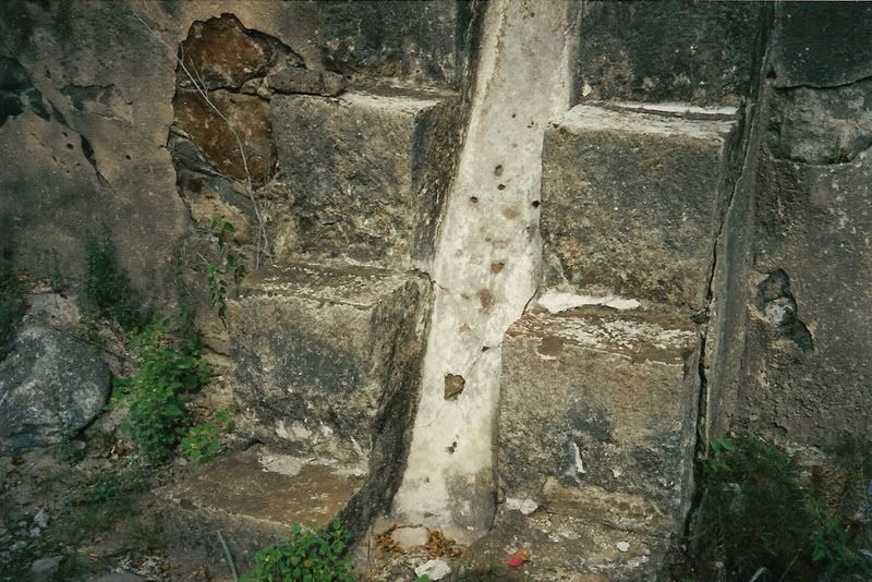
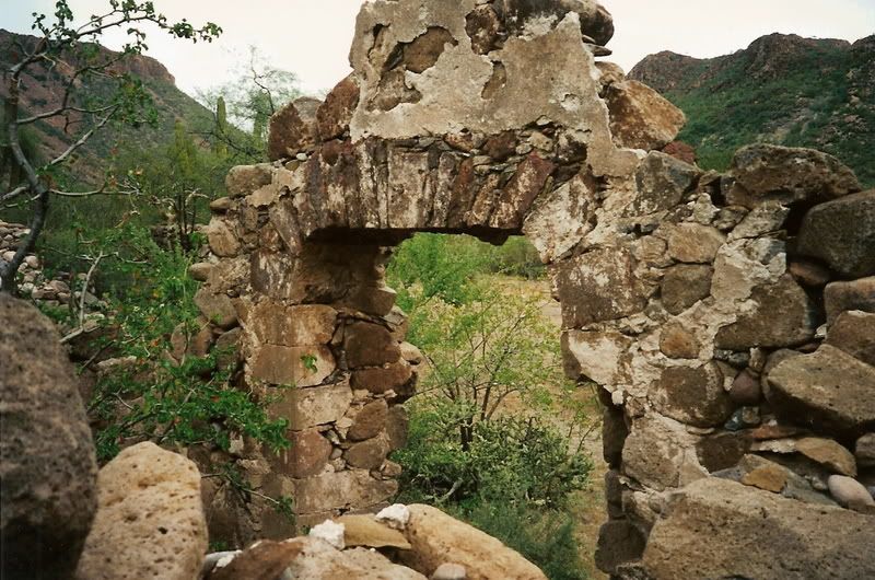
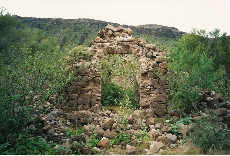
2008 Nomad 'Tehag' (8 photos)
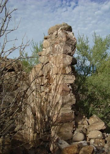
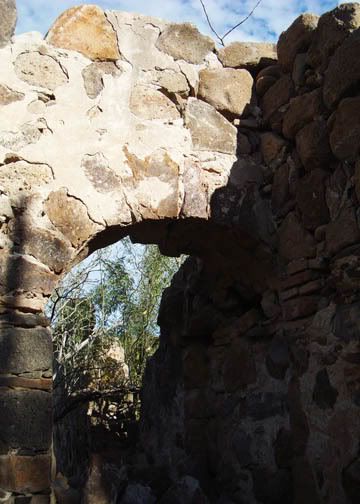
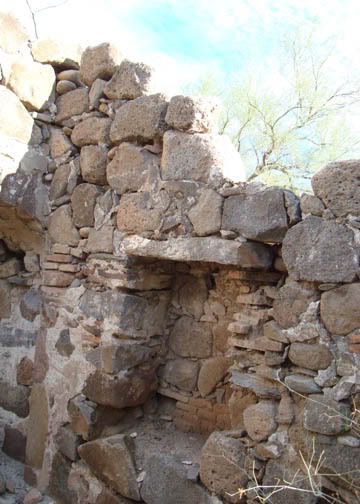
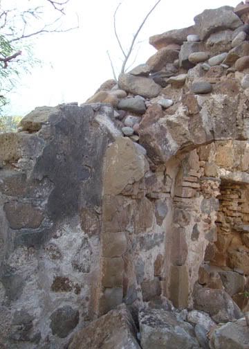
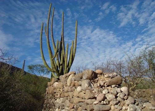
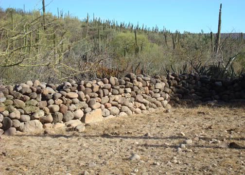
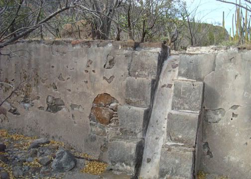
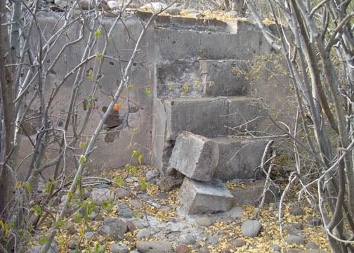
THANK YOU TEHAG!
If anyone has photos of La Presentación, please post them here... or email/ u2u them to me to post for you... include the year the photo was taken.
[Edited on 2-2-2019 by David K]
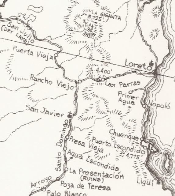
MAP
David K - 2-17-2009 at 05:06 PM
Here is a close up of the Gulick 1962 map. Note La Presentación south of San Javier.
David K - 2-28-2009 at 04:31 PM
Four more photos from Kevin added and the original one rescanned...


