David K - 2-20-2009 at 08:16 AM
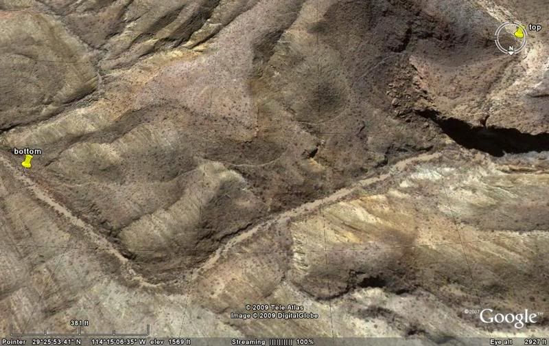
While searching for muestras (signs) of the Camino Real, I found this interesting grade that goes around a huge waterfall (dry). I would
guess it to be a mission road, but it is going the wrong direction... leading towards the Laguna Chapala valley instead of north towards Mision Santa
Maria.
Since the molino (ore mill) at Calamajue (built by Dick Daggett) processed gold ore from area mines, perhaps this was a route used to bring
ore there...??? If it was a mission trail, then why that direction? There are no signs of a road or trail going either direction from the top or
bottom of that grade, I could find.
More Baja mysteries!!!
LOOKING SOUTH:

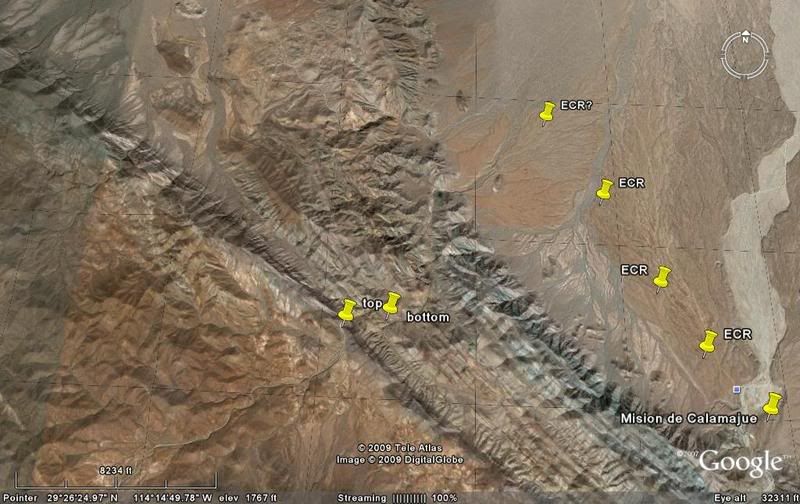
HIGH VIEW/ NORTH AT TOP, to show you where this is:

[Edited on 2-20-2009 by David K]
David K - 2-20-2009 at 08:33 AM
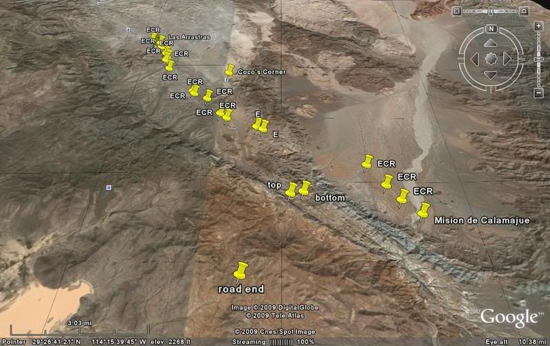
This view includes Laguna Chapala (on the left) and is angled to see Coco's Corner to the north... also the added ECR location pins:

The mystery grade is between the pins labeled 'Top' and 'Botton'. The 'Road End' pin is the end of an auto road that comes up from Laguna Chapala.
[Edited on 2-20-2009 by David K]
Paulina - 2-20-2009 at 08:48 AM
Too bad you couldn't show it to Herman. He would have an answer, but then it would be up to you to believe it or not!
P<*)))>{
David K - 2-20-2009 at 09:44 AM
I bet Herman would say something like "I could tell you, but then I would have to kill you"...!


