
David K - 3-11-2009 at 07:09 PM
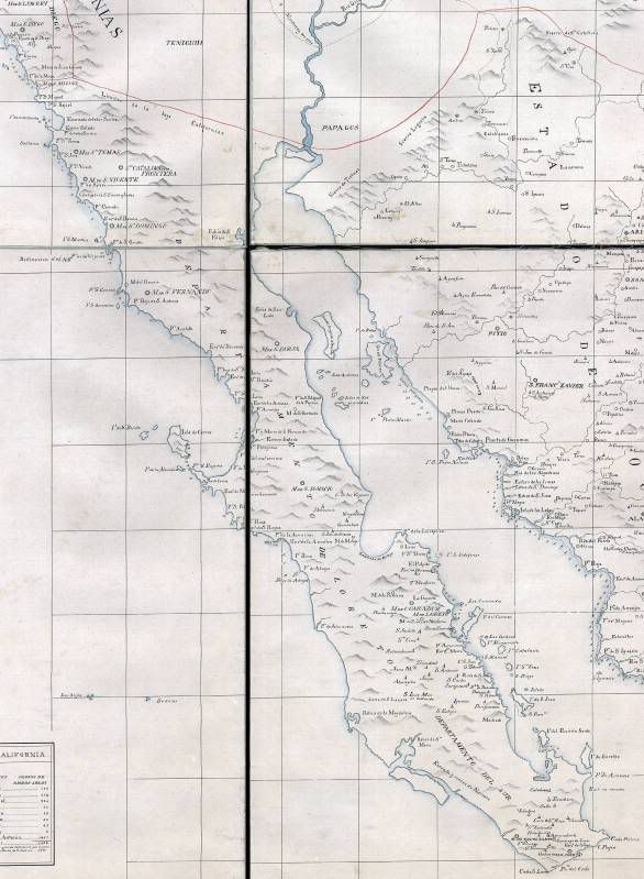
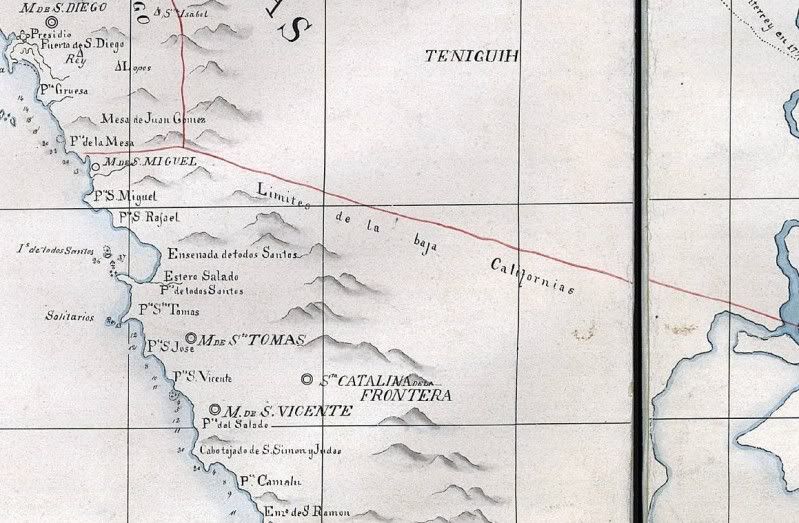
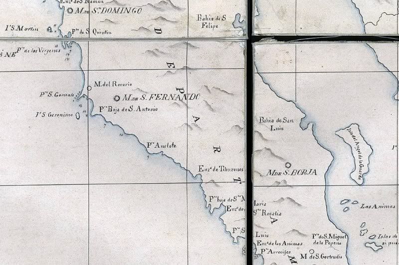
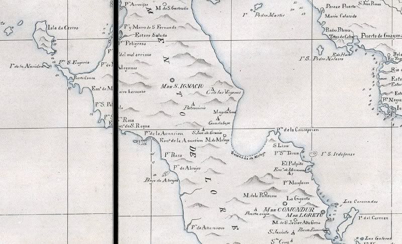
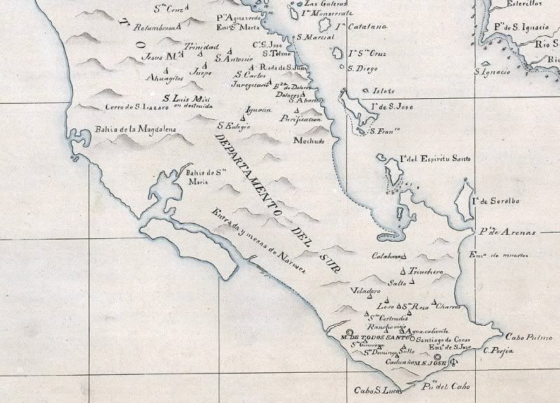
While going through old emails today, I came across one from 'academicanachist' in which he sent me this 1823 map of Spanish Baja California... First,
the entire map that Robert sent me (from the Library of Congress)... then closer views (4 sections). If anyone needs a super close up, just let me
know where.
Of interest to the discussion on the Visita of Magdalena, near Mulege... it is shown on this map!
David K - 3-11-2009 at 07:22 PM
Place names stay the same for hundreds of years!
San Roque y Asuncion are there Shari!
Cabo Pulmo and Punta Arenas on East Cape, too...
Bob H - 3-11-2009 at 07:40 PM
Wow, where do you find this stuff? Fantastic details on this old map. Thanks for sharing this.
Bob H
David K - 3-12-2009 at 09:02 AM
You bet... look over the Historic Interests forum and you can see many old maps... I plan on including them all in the REVISED VivaBaja.com... coming
someday soon!
shari - 3-12-2009 at 09:22 AM
Ya that's pretty cool that san roque, asuncion and san pablo too...but no guerrero negro...it is just estero salada! ha! very cool map...who did this
map?
David K - 3-12-2009 at 09:32 AM
In 1823... map author unknown.
Guerrero Negro town didn't exist before 1957... and was first called Salina Vizcaino. The lagoon was Black Warrior (Guerrero Negro) named after a
whaler that went aground there in the 1800's.
[Edited on 4-4-2014 by David K]
Mexitron - 3-12-2009 at 10:20 AM
Nice map! No El Camino Real shown though...
All together now
Sharksbaja - 3-12-2009 at 12:19 PM
All together now
This one was a bit tricky.
Udo - 3-12-2009 at 12:58 PM
Great of you to put it together, Sharks!
And, David, thanks for the old map. Interesting how Baja was perceived 185 years ago.
David K - 5-12-2009 at 04:08 PM
De nada Udo!
Thanks Corky for stitching it together...


