Originally posted by David K
Did you GPS the spot and post it on Geocaching.com ?  
David, if you go out to San Juan de Dios again... could you take a photo of where the visita was... after crossing the arroyo, the road climbs up the
other side (heading towards El Metate)... curves a bit to the left as it climbs, then curves back to straight at the top of the climb... the visita
was to the right of the road about 50' from the road, and was about 90' long... going north-south.
Some 'farmer' plowed right over the top of it... covering up this historic mission-era site, per reports from others... but no photos have yet been
posted of the plowed over field.
GPS (WGS84): 30°10.96'/ 115°10.07'
GPS (NAD27 Mexico): 30°10.95'/ 115°10.03' |


 ¡¡¡Beeeee-yew-ti-foil !!!


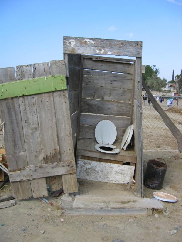
 You're on the Throne!!!


 Funny girl!

