
David K - 3-24-2009 at 11:10 AM
By request, here are the mystery runways near El Marmol...
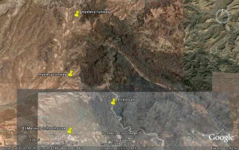
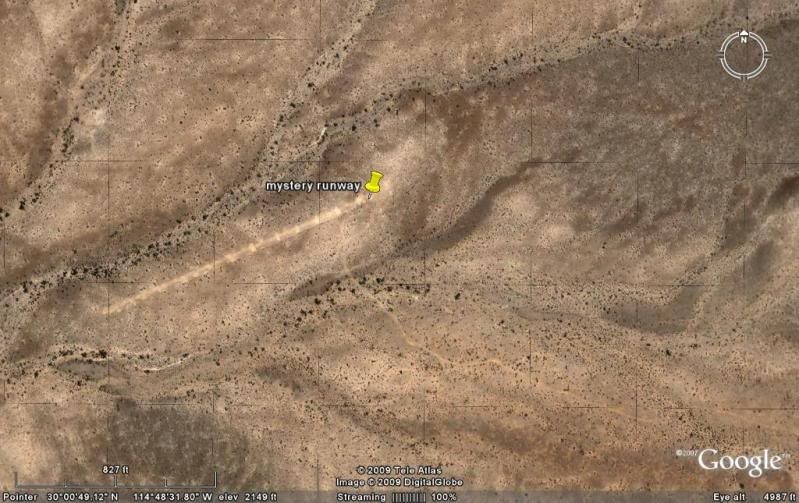
The southern one (looks ditched): 30º00'50.61" / 114º48'34.58"
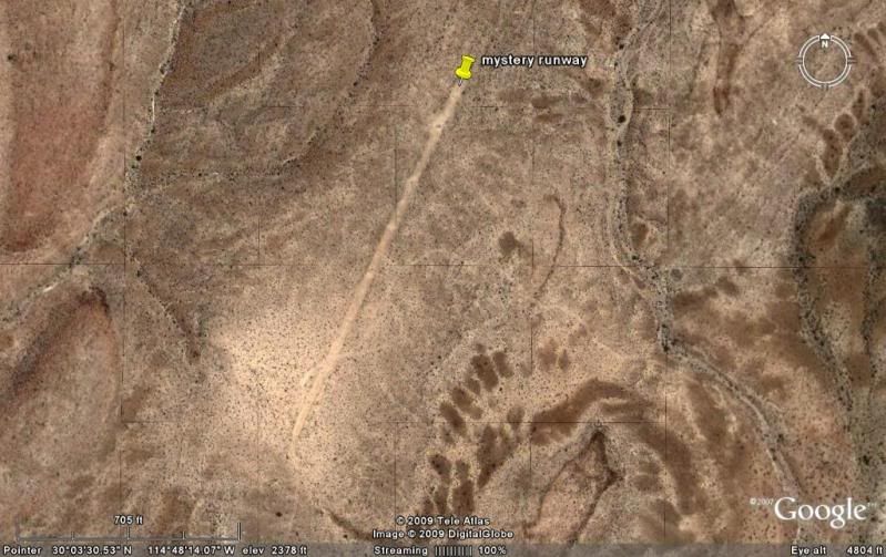
The northern one (we saw from the ground on our last trip to El Volcan while exploring the roads): 30º03'25.75" / 114º48'19.28"
David K - 3-24-2009 at 11:18 AM
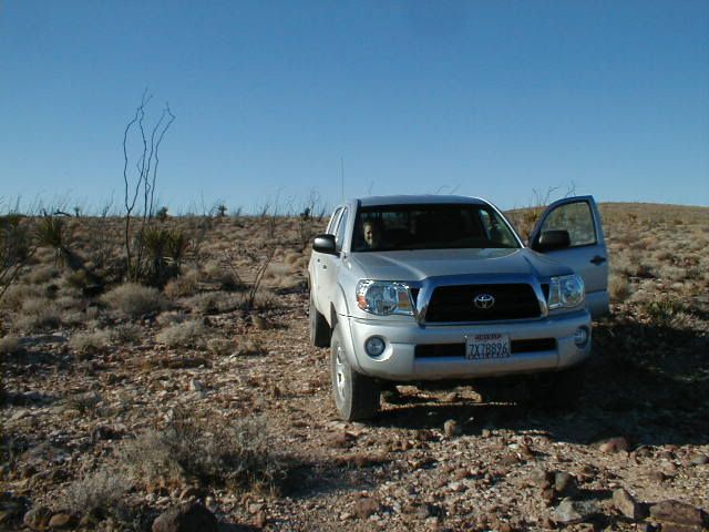
Photo taken on the 'road' near the runway in 2006...
David K - 3-24-2009 at 11:22 AM
Here is how the military ditches a runway... this is the El Marmol airport runway (a mile from El Marmol along the road from Hwy. 1)...

Osprey - 3-24-2009 at 11:51 AM
Topes. Mystery solved.