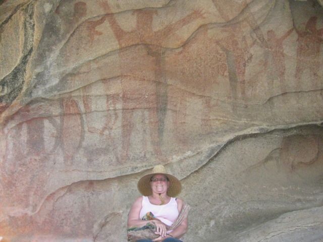
BajaNomad

who has pictures of sections of El Camino Real?

David K - 4-13-2009 at 07:42 PM

Here are some:

http://vivabaja.com/1104/page5.html (south of El Rosario)


http://vivabaja.com/1103/page2.html (climbing up to Santa Maria, from Gonzaga desert)


http://vivabaja.com/403/page13.html (near the L.A. Bay road crossing)


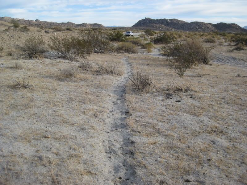
Here is a photo of the Camino Real between Gonzaga and Coco's where it comes in contact with the dirt highway:


[Edited on 4-14-2009 by David K]

David K - 4-13-2009 at 07:45 PM

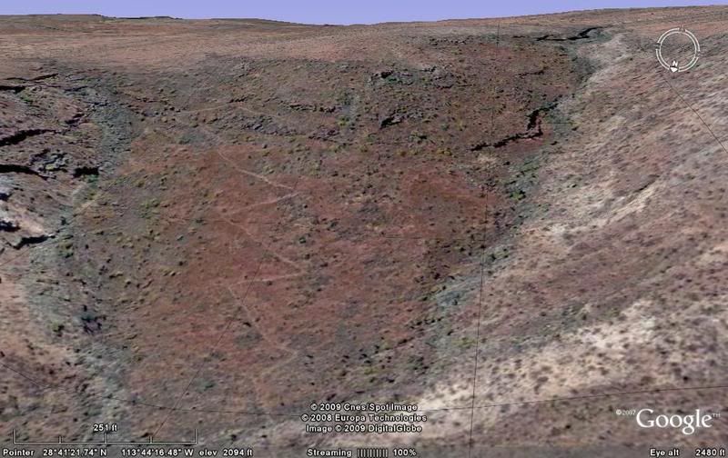
Really, the best look online is to see it from space (aside from hiking it yourself) and the really cool 'road' is south from San Borja where the Jesuits did their thing.... see the links, here:
http://vivabaja.com/missions2/page13.html

[Edited on 3-2-2013 by David K]

David K - 4-13-2009 at 07:57 PM

"I know some of you are Camino aficionados"

None more so than 'Baja Bucko'... but Neal and I have been nagging her to post stories, photos, or write a book for 10 years, without any luck!

I think I am a close second with my fascination for the mission road... It is amazing that such effort was made in such a hard land... 200-300 years ago!

Neal Johns - 4-13-2009 at 10:25 PM

I will post some in a couple of weeks.

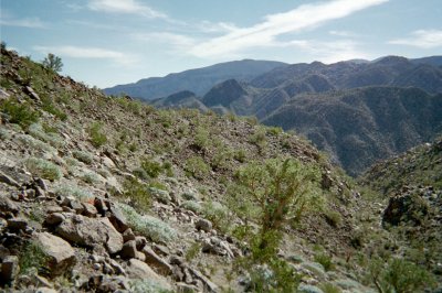
1.5 miles east of Mision Santa Maria...

David K - 5-31-2009 at 08:22 AM

The Camino Real drops down into the mission valley after climbing up the mountain along the north side of the Santa Maria canyon, up from the desert near Gonzaga Bay...


You can see the green palms in the Santa Maria arroyo, in the distance... photo looking south.
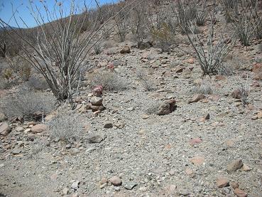

El Camino Real 29°43.126', 114°31.753' elev. 1,413'

I mark the mission trail with rocks where it meets
the auto road, 1.5 miles from the mission, on the way to the 'bulldozed grade'.

Paulina - 5-31-2009 at 09:49 AM

Quote:
Originally posted by David K
"I know some of you are Camino aficionados"

None more so than 'Baja Bucko'... but Neal and I have been nagging her to post stories, photos, or write a book for 10 years, without any luck!


David,
Has she completed the ride from one end to the other yet? If not, maybe once she completes that goal she'll be ready. I'm sorry that I missed out on riding a section with her. My timing wasn't right at the time. Someday...

P<*)))>{

David K - 5-31-2009 at 11:17 AM

Quote:
Originally posted by Paulina
Quote:
Originally posted by David K
"I know some of you are Camino aficionados"

None more so than 'Baja Bucko'... but Neal and I have been nagging her to post stories, photos, or write a book for 10 years, without any luck!


David,
Has she completed the ride from one end to the other yet? If not, maybe once she completes that goal she'll be ready. I'm sorry that I missed out on riding a section with her. My timing wasn't right at the time. Someday...

P<*)))>{


Teddi has covered much of the route over various trips, I couldn't tell you you all of them as she is pretty quiet here...

One of her first trips on muleback was the Serra Cargo Trail from near Mision Santa Maria down to Gonzaga Bay and back... in or near 2001.. and she even hid a geo-cache along that trail on Geocaching.com!

She recently posted a percentage of the ECR she has done or has yet to do, I recall... Do a search of all posts by Baja Bucko (there aren't a lot)...

Teddi, if you are there... it would really please us Baja nuts to hear more from you!:light:

Paulina - 5-31-2009 at 11:50 AM

Quote:
Originally posted by David K[/i

Teddi, if you are there... it would really please us Baja nuts to hear more from you!:light:


That would be great to hear from her again. I remember running into each other by accident out at Patchen's Cabin one afternoon. What a great chance meeting that was!

P<*)))>{

Neal Johns - 5-31-2009 at 05:58 PM

ECR just north of Comondu, 1995 by Marian Johns (Lorene Crawford, Desert Explorers in picture)

File0001X.jpg - 41kB

Neal Johns - 5-31-2009 at 06:20 PM

Taking a nap on the ECR cuesta south of Mission San Borja.

[Edited on 6-1-2009 by Neal Johns]

File0002X.jpg - 49kB

Neal Johns - 5-31-2009 at 06:22 PM

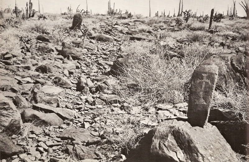
ECR marker on ECR south of Mission San Borja.

[Edited on 6-1-2009 by Neal Johns]

File0003X.jpg - 49kB

Paulina - 5-31-2009 at 06:32 PM

That marker is WAY cool.

The marker in 1967

David K - 6-2-2009 at 12:11 PM

Harry Crosby photographed the marker stone for the 1968 Copley Book: 'The Call to California'... It was this job as photographer that awakened Harry's interest in Baja California history and its people...


David K - 6-2-2009 at 12:18 PM

Quote:
Originally posted by Neal Johns
Taking a nap on the ECR cuesta south of Mission San Borja.

[Edited on 6-1-2009 by Neal Johns]


The reason Neal is tired... he just climbed up this grade to see the stone:


David K - 3-2-2013 at 10:36 AM

Bump... Great photo Neal!

sargentodiaz - 3-2-2013 at 11:00 AM

It's amazing when you think that the Cochimi and other tribes lived in this wilderness.

David K - 3-2-2013 at 11:15 AM

Quote:
Originally posted by sargentodiaz
It's amazing when you think that the Cochimi and other tribes lived in this wilderness.

So very true!

Perhaps closer to the end of the last Ice Age, when the people came across from Asia, the first inhabitants of the peninsula had a wetter or cooler climate (the creators of the giant cave art)... and after a few thousand years when it got dryer/ harsher the Indians to their north prevented them from leaving the peninsula?

It was once so good in Baja, that they had time to create art showing their life... by the time the Spanish began to arrive to start building missions the Cochimí were down to eating insects and the 'Second Harvest'!


woody with a view - 3-2-2013 at 01:07 PM

i'm surprised that marker is still there, nobody has taken it over the years.