
| Quote: |

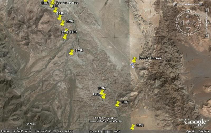
 Progress has it's pro's and it's con's. Coco's corner will be a hotel
complex, with food, fuel, and everything to meet a travelers needs.
Progress has it's pro's and it's con's. Coco's corner will be a hotel
complex, with food, fuel, and everything to meet a travelers needs.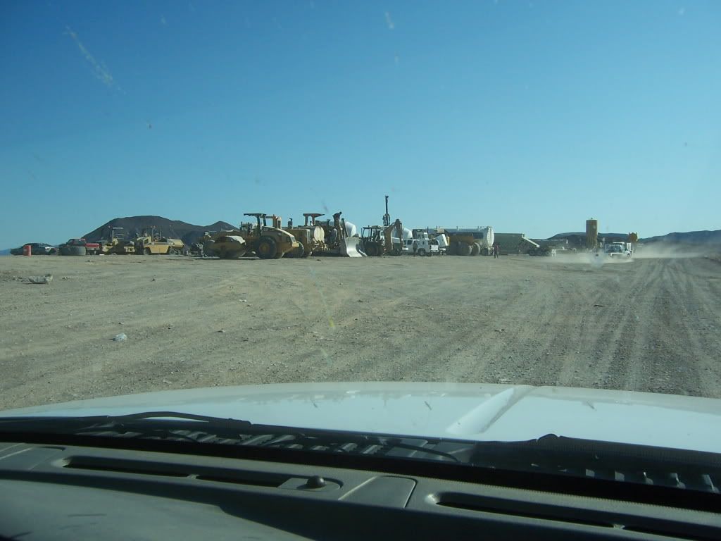 [/img]
| Quote: |

| Quote: |

| Quote: |
| Quote: |
finally made everyone get
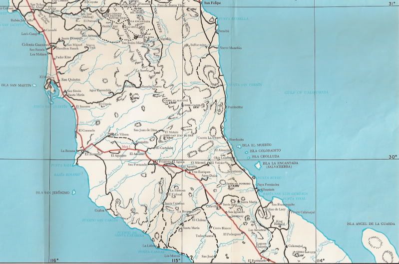
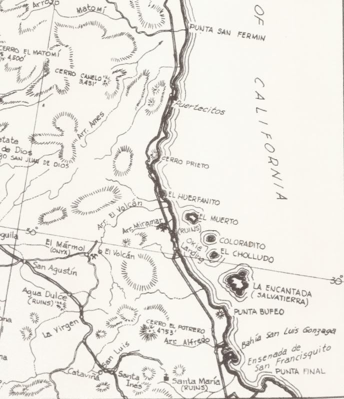
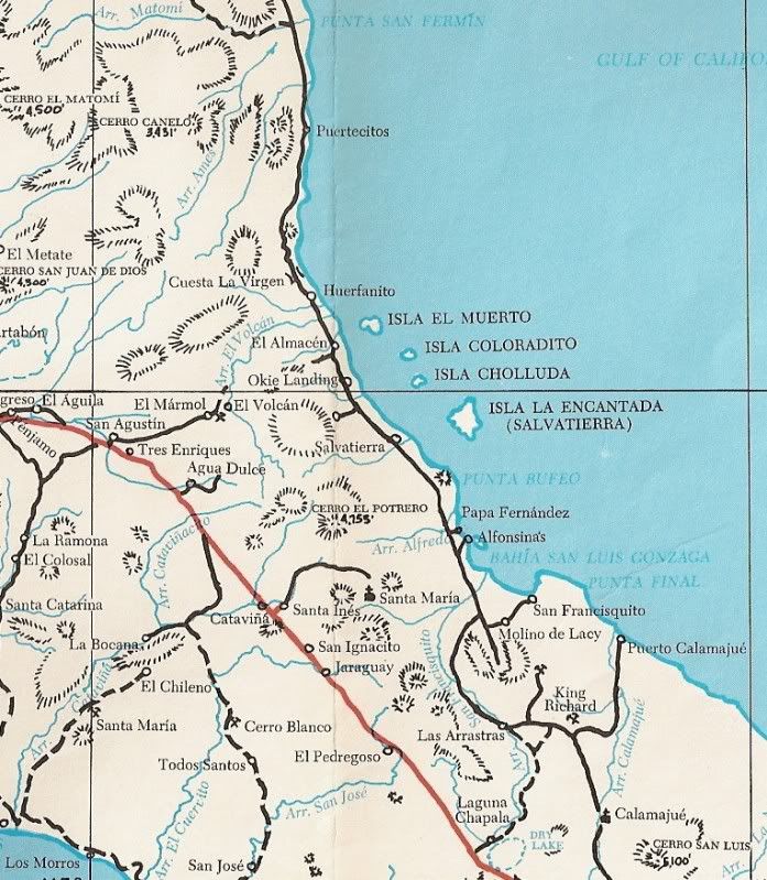
out and walk up,just my wife wanted to do in the first place No problems running into cattle etc. as we couldn't go over 10 MPH and there was zero traffic. If you haven't been thru there, do it before it's paved. It's an adventure.
| Quote: |
| Quote: |