
David K - 8-10-2009 at 09:38 AM
1888
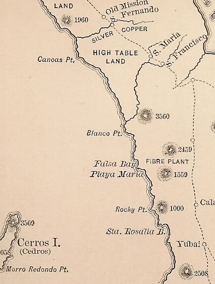
1919
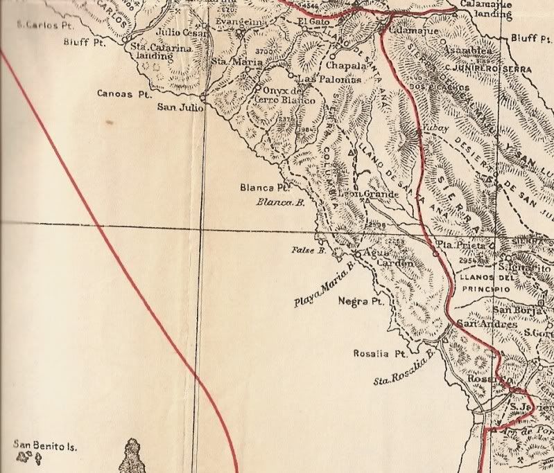
1930
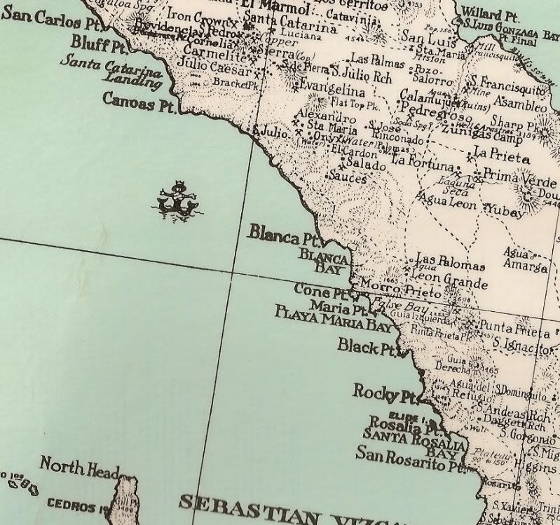
1941
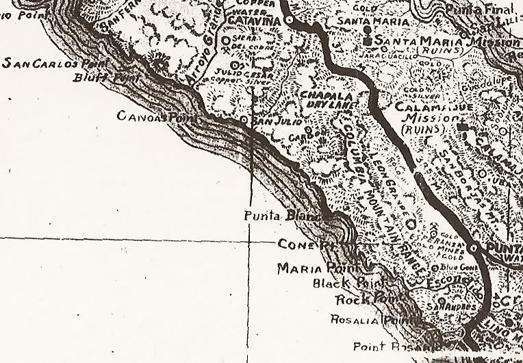
1962
1975
KurtG - 8-10-2009 at 03:34 PM
David,
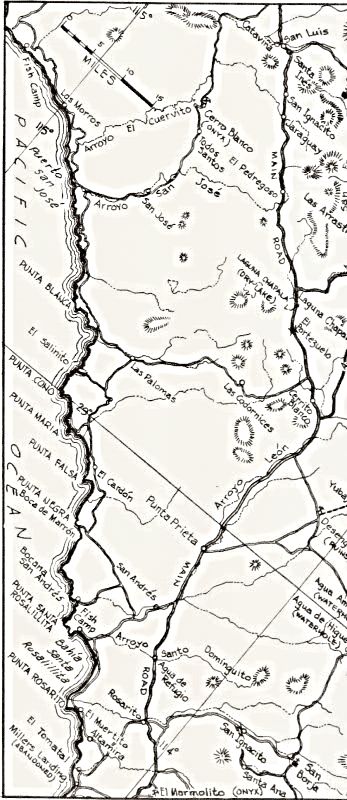
The 1919 map is the only one I have seen that clearly shows the inland road north from Bahia Blanca on which I ended up by taking a wrong turn back in
'96. It had been very little used and finally joined the older road between Punta San Jose and Catavina a few miles before the old onyx mine at
Cerrrito Blanco (page 18 of the current atlas.) The old large atlas had a mostly blank page for that area and the current one does not show the road
at all. There was some lovely country there and we met a rancher and his son at Rancho Tierra Blanca, also on no map, who told us where we were and
how far to the highway. It was an interesting day to say the least. When I got back to the US one of my first stops was at West Marine to buy a GPS.
To quote my traveling companion concerning that purchase: "now we'll know exactly where we're dying!" BTW, that person never returned to Baja with
me again. I always tell my traveling companions that I have never lost a vehicle or passenger in Baja, yet.
David K - 8-10-2009 at 04:56 PM
Cool! Great story, too!
Another interesting story on that 1919 map is the 'major' road shown between Chapala and Calamajue. On Google Earth, you can see that old mine road
and a switchback grade in a canyon just northwest of Calamajue mission/ mill ruins. I found it while searching for the 'El Camino Real between
Calamajue and Santa Maria missions.


