Originally posted by rob
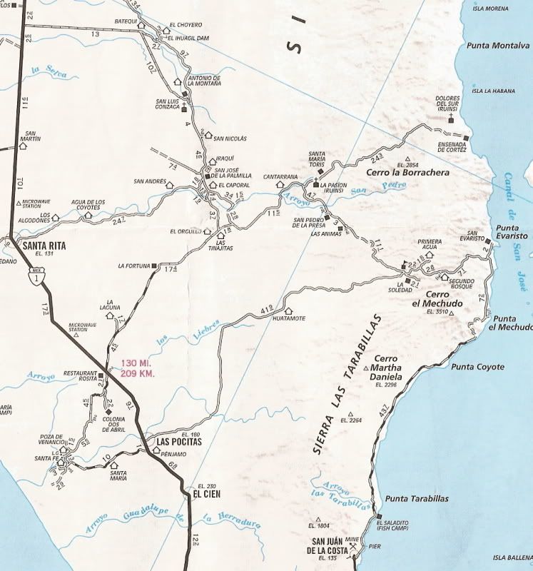
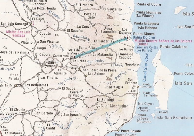
Hi monoloco - I did indeed take my Lance 8' down to Los Burros (and to Batopilas in Barranca del Cobre - but that's another story!). It's not a great
Baja choice - finally sold it and bought a Northstar pop top.
Highly recommended. |