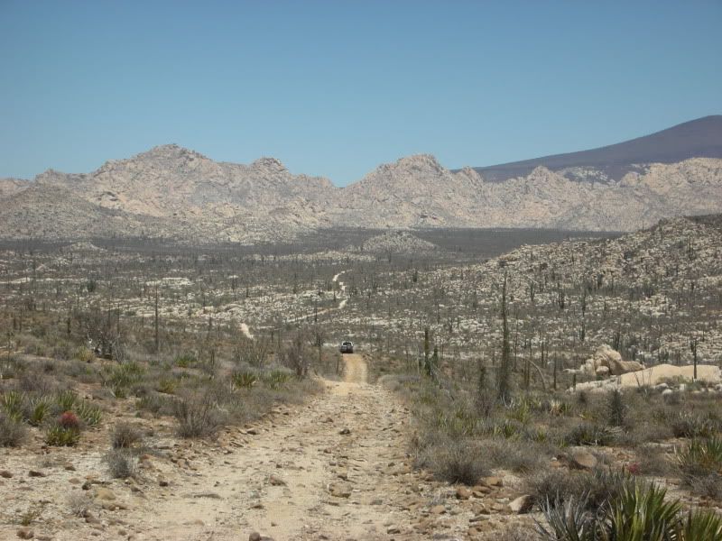
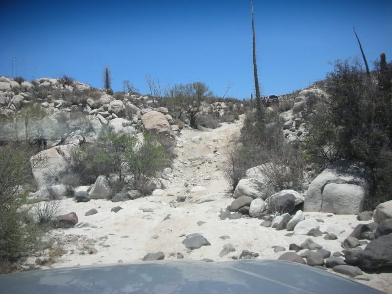
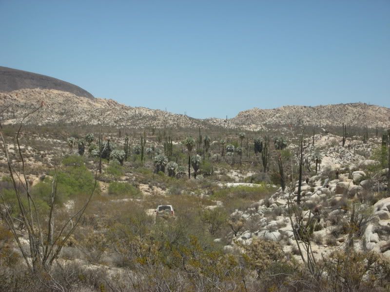
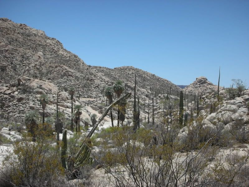
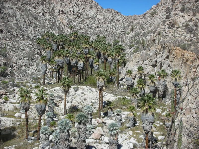
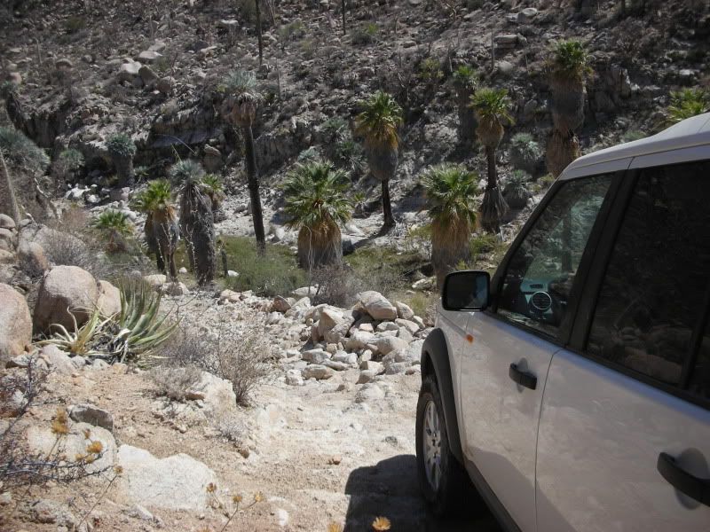
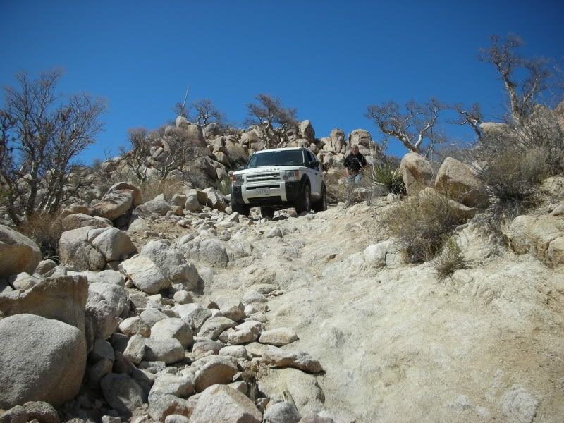
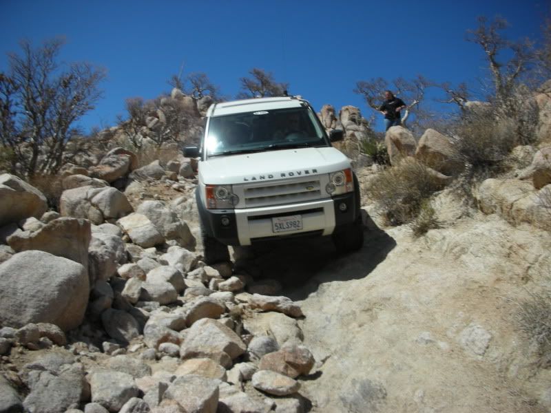
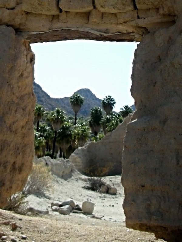
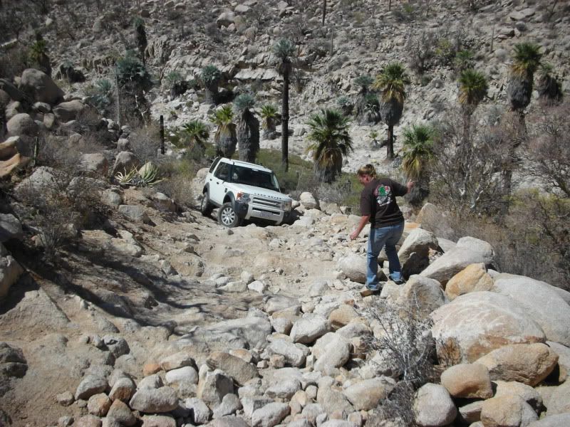
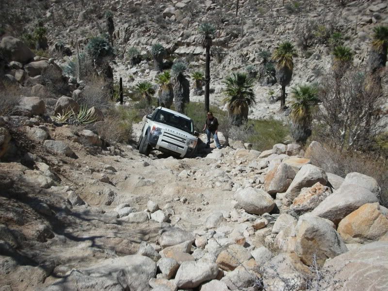
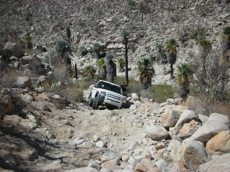
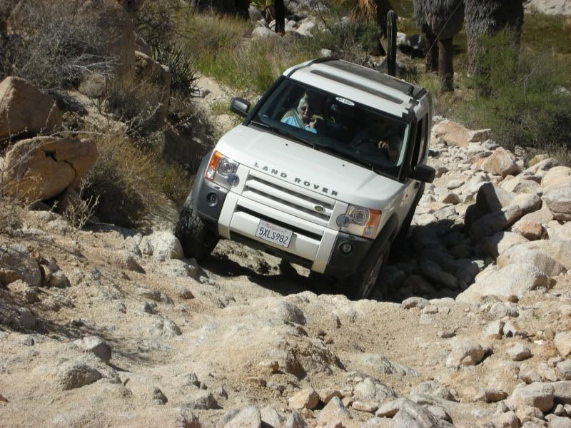
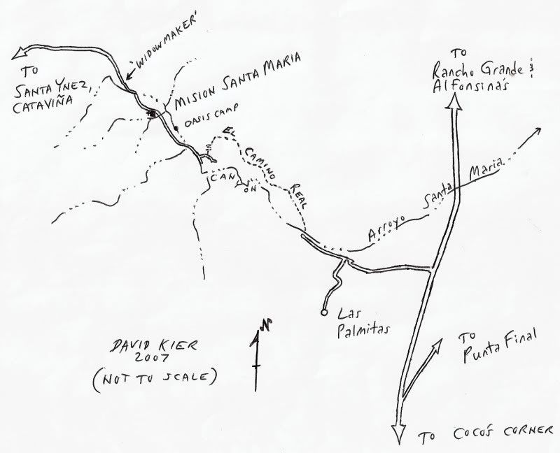
Originally posted by David K
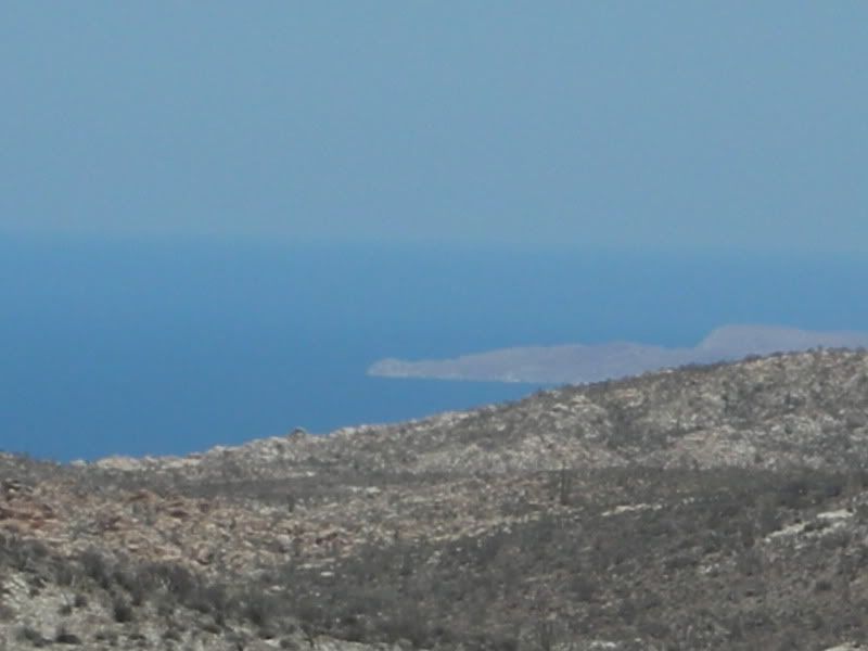
Great... sure is beautiful there!
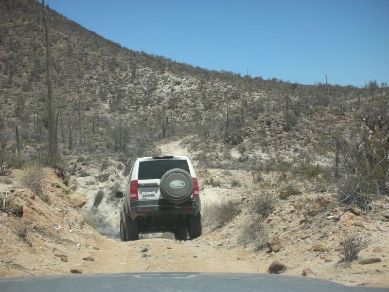
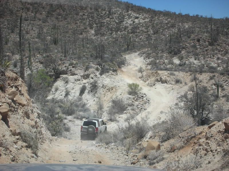
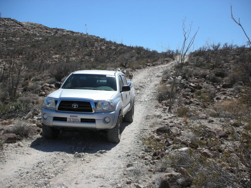
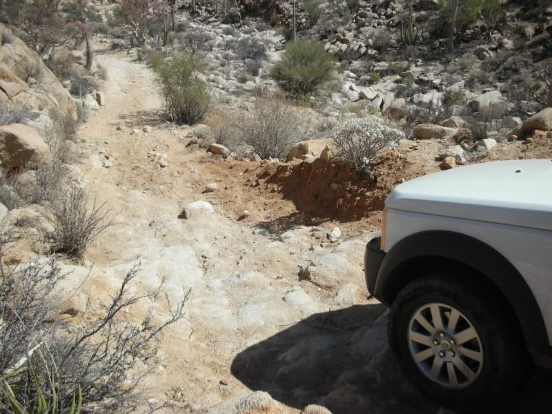
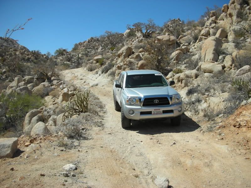
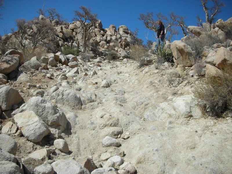
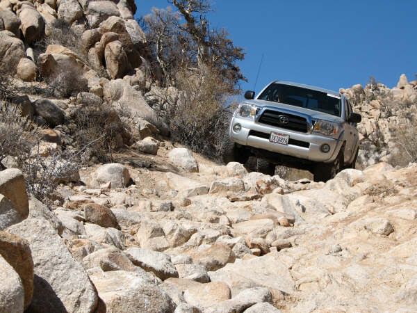
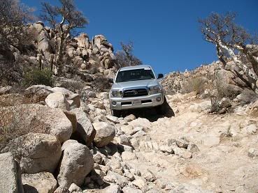
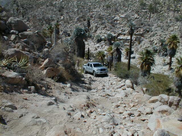
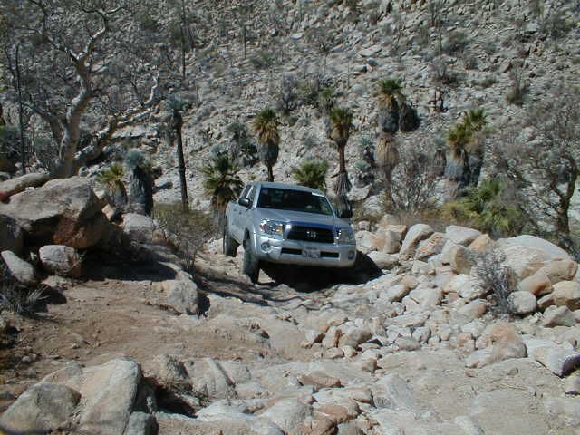
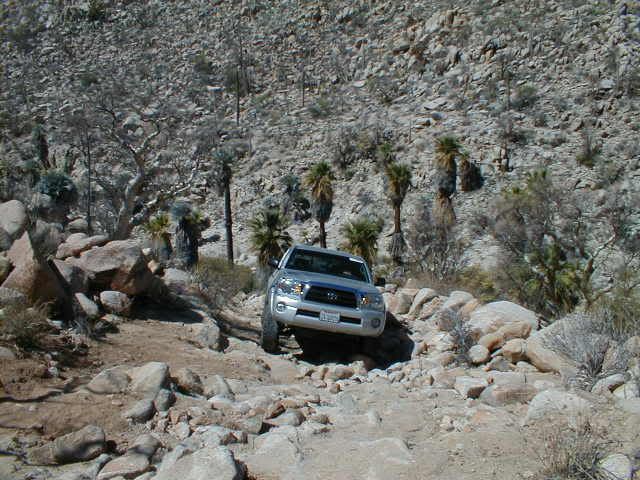
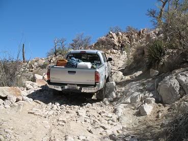
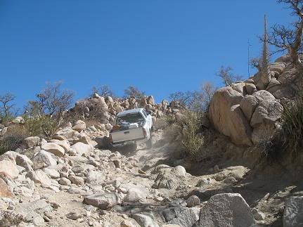
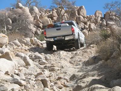
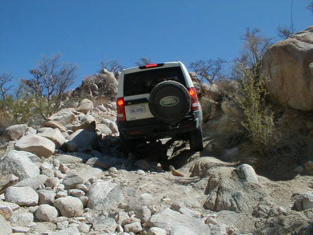
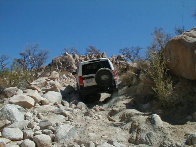
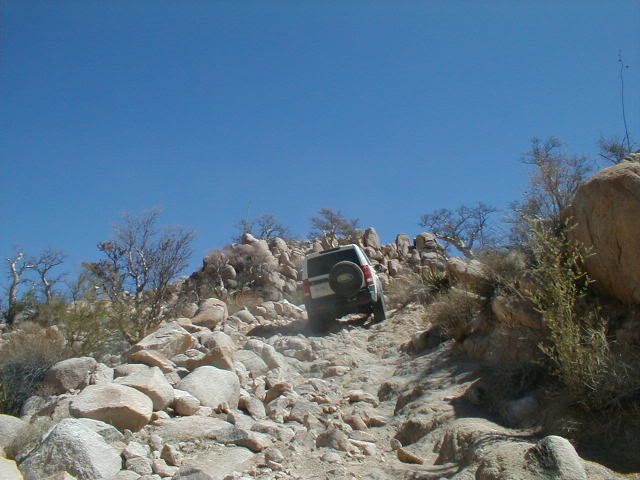
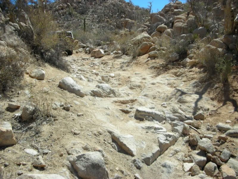
I liked that your YouTube even used the name 'Widowmaker'! Thank you... I thought that was fitting based on the difficulty when I first went over it,
in 1999.
Baja Mur and I both got thrown from our rides and got cut up pretty good on the rocks!
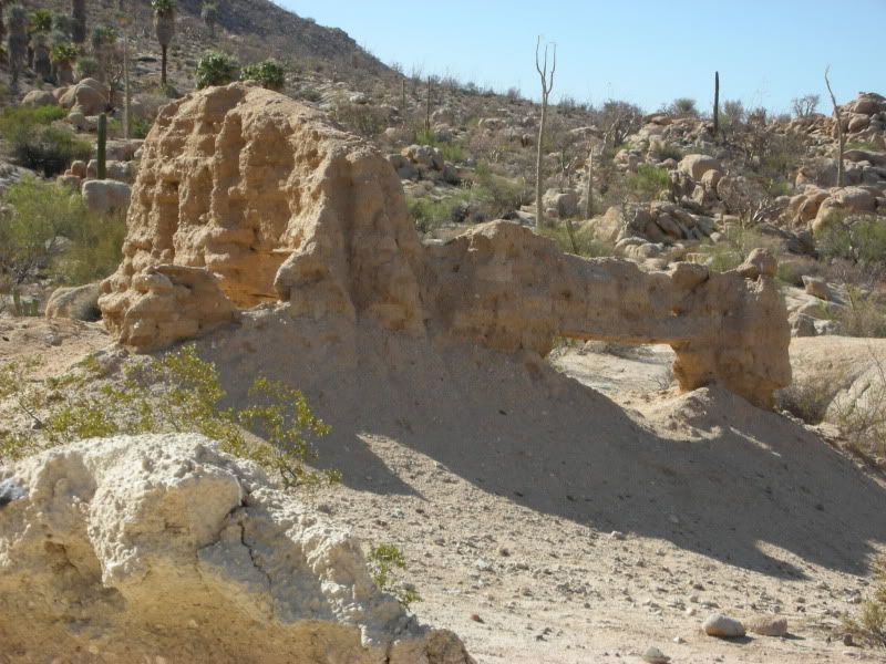
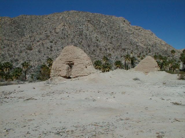
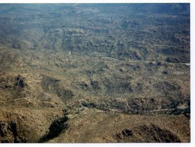
Photo from May 1, 1999 when Baja Mur and I were there... |