David K - 3-12-2010 at 08:25 AM
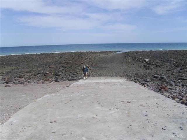
Wayno sent me photos of the end of pavement on Hwy. 5 and of the rampat El Huerfanito, near the end of the highway.
With pavement, it is no easier for boaters to fish the Enchanted Islands and Gonzaga area.
Here is the ramp (low tide):

End of pavement photos on the Baja Road Conditions forum.
bardfromedson - 4-7-2010 at 04:40 PM
has anyone ever used this launch? how big of a boat could you launch? how high of a tide do you need?
Bob H - 4-7-2010 at 07:56 PM
From the looks of what appears to be a water line, high tide would just barely cover the ramp by a few feet.
Bob H
David K - 4-7-2010 at 09:21 PM
Maybe Wayno will respond... but my guess is the photo is taken at the high tide line or near (depends on the moon phase). It would be silly to make
such a nice ramp and clear all that rock if it wasn't useful. Obviously, the photo was taken at low tide... so it is a medium to high tide only ramp.

