Originally posted by desertcpl
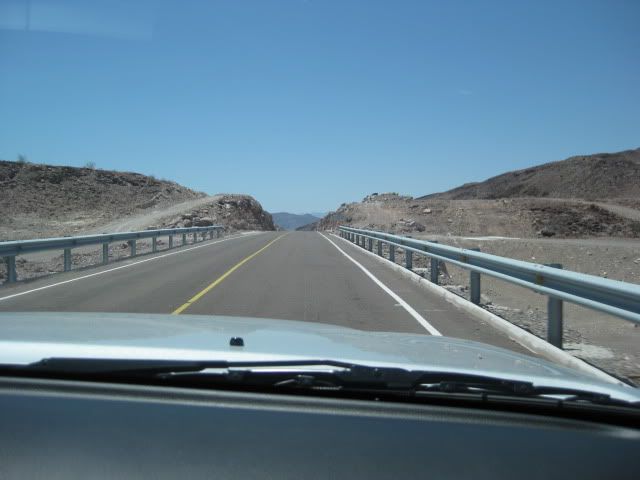
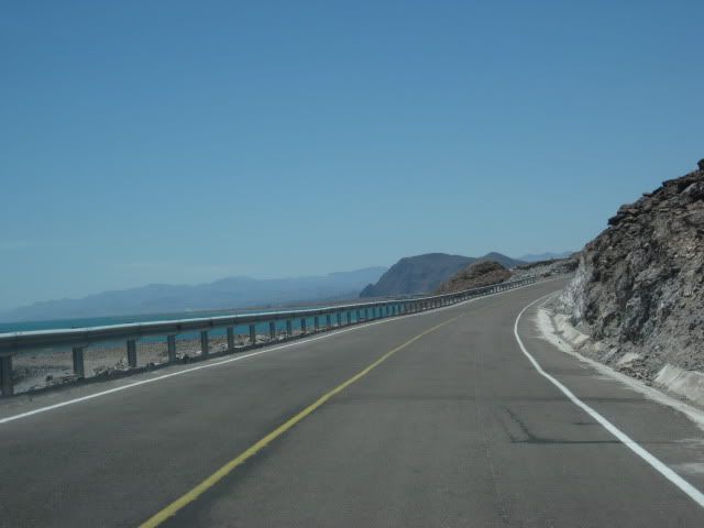
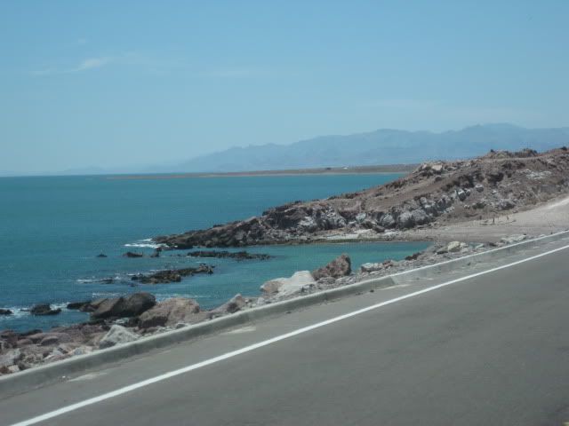
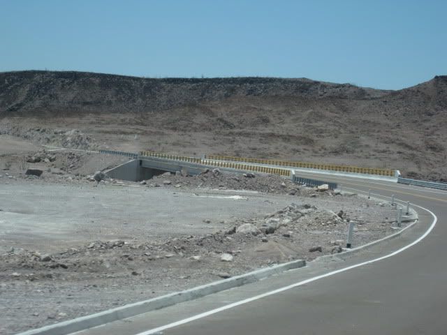
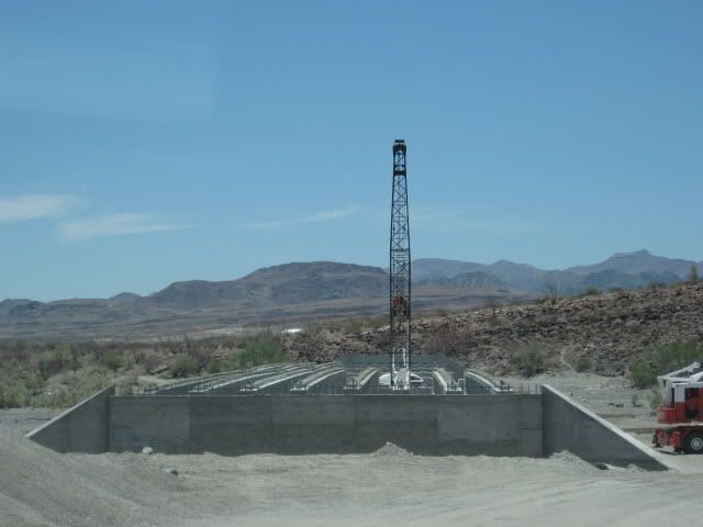
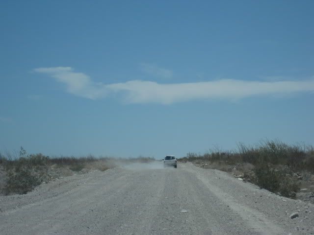
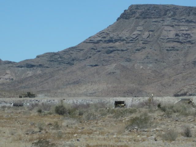
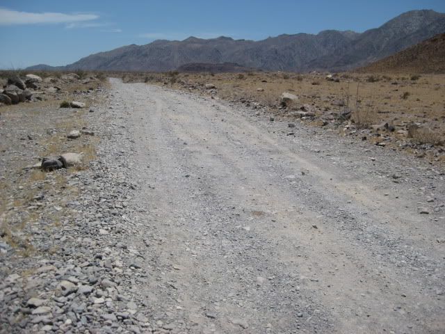
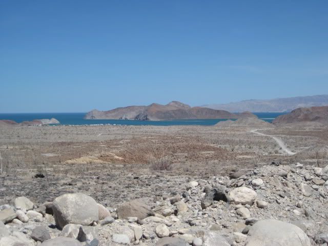
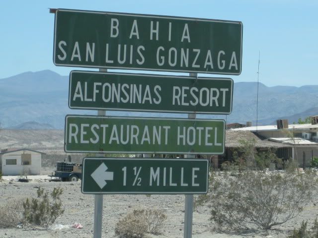
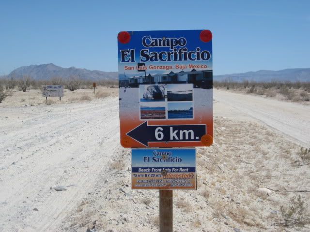
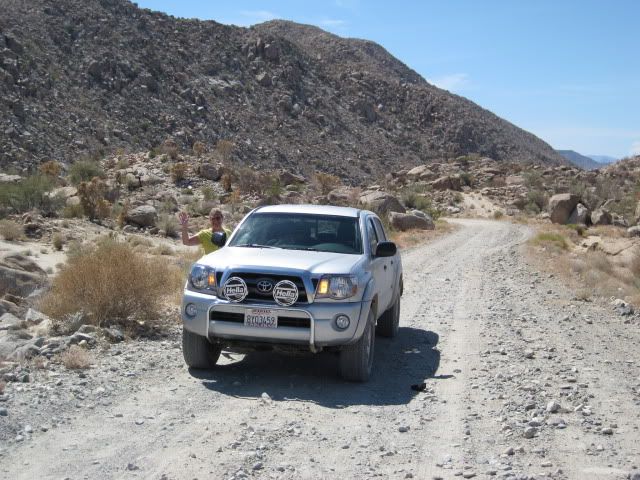
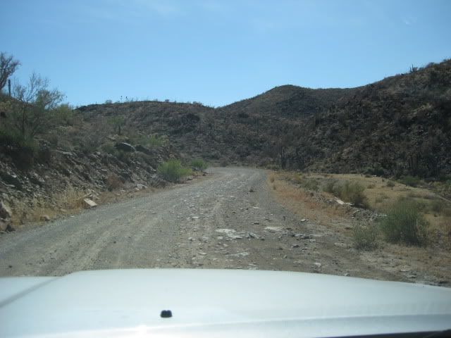
got a question , I know they are putting in a new road to Gonzaga Bay, is the work still going on and how far have they got.
I might be planning a trip soon to Mulege would you take this road to connect with HWY 1,, (I am driving a Tacoma 4x4)
if so how much time do you think I would save or not save , I know its tough going on some places
[Edited on 9-11-2010 by desertcpl] |