Originally posted by motoged
Nomads,
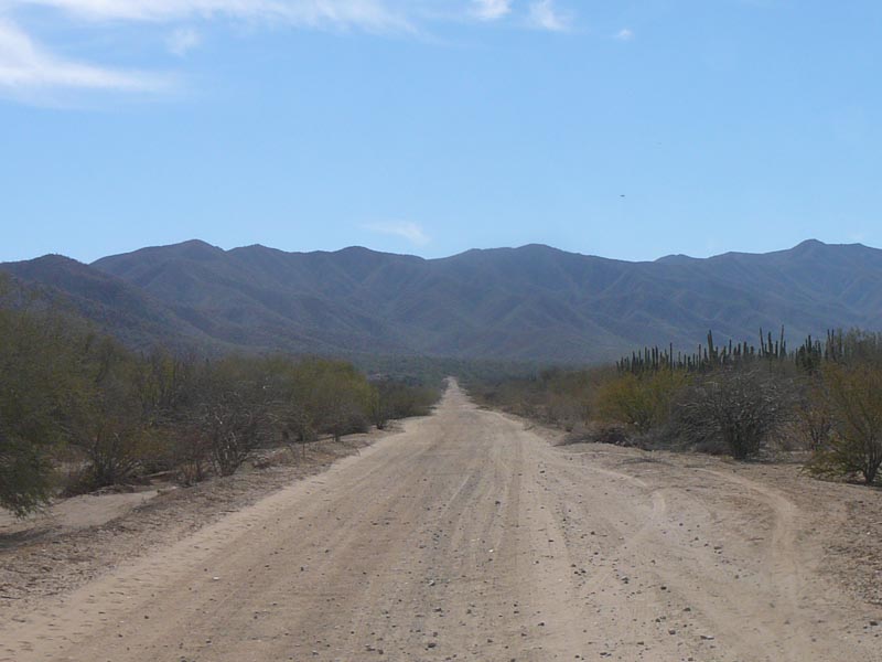
A while back a Nomad drove this road with no difficulties. Are there any fences/gates that restrict travel on this road?
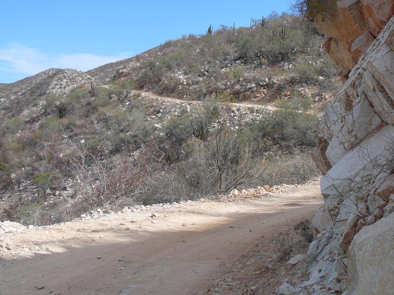
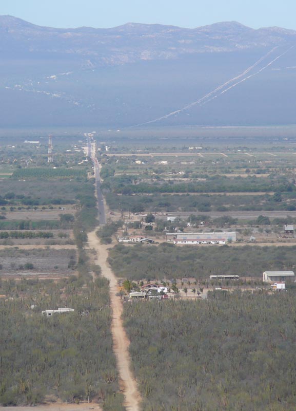
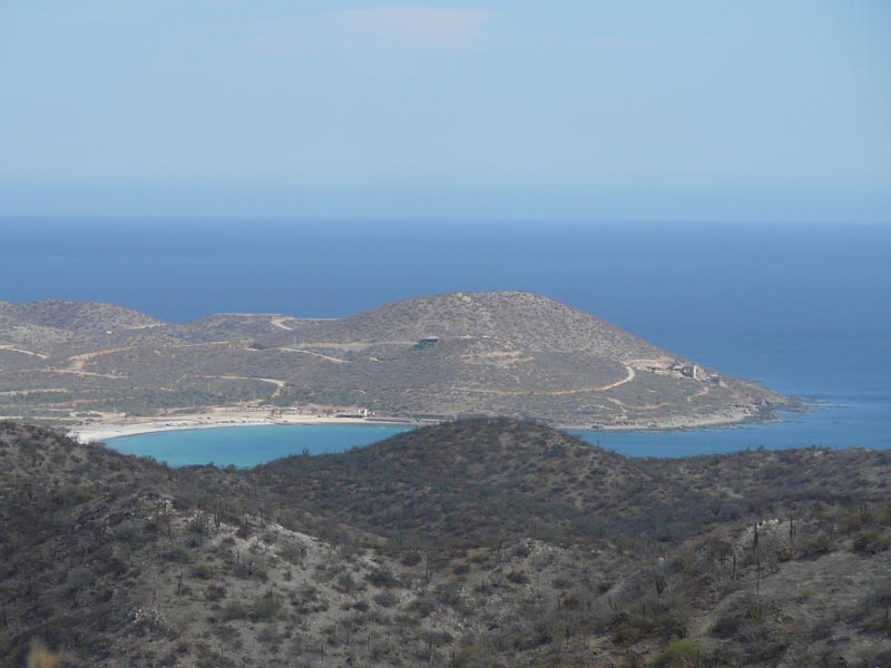
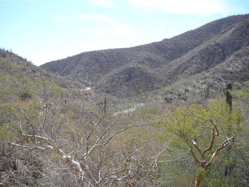
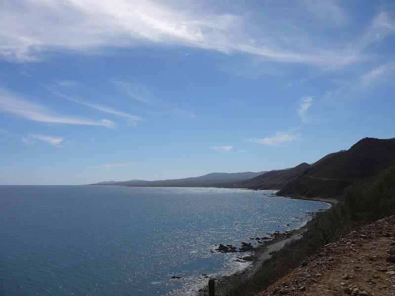
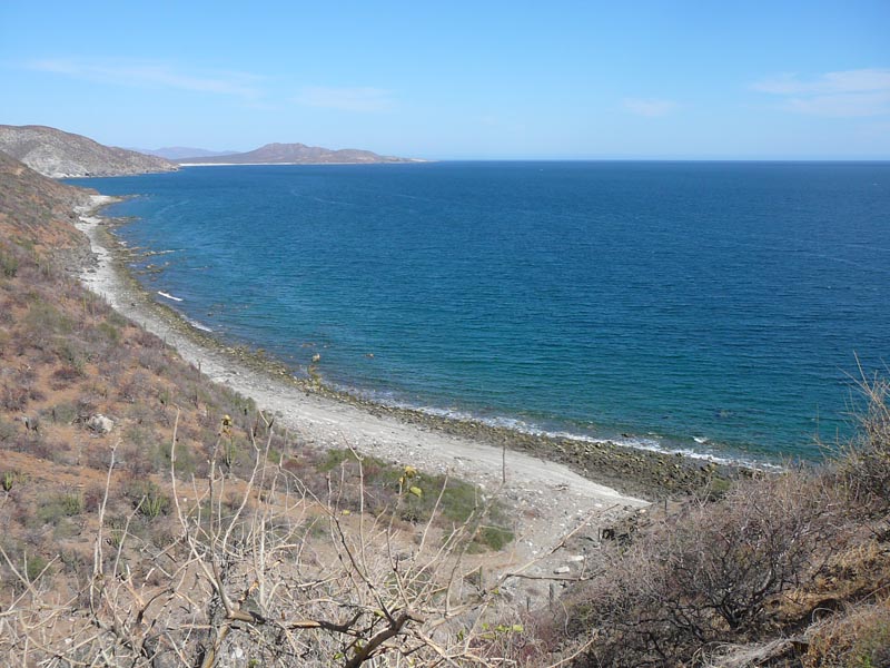
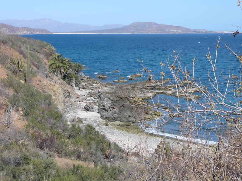
My intention is to ride the entire East Cape "coastal" road down to San Jose del Cabo (KTM 690) in February. I have ridden from SJ north to Los
Frailes but went west through the mountains (foothills, actually) to the highway (beautiful terrain up top).
I have every reason to believe it is a simple route (research to date) and hope it is so.
I am also curious about roads from San Antonio/ El Triunfo area up and over dirt roads to Todos Santos area....
Thanks for your help. 
[Edited on 10-1-2010 by motoged] |