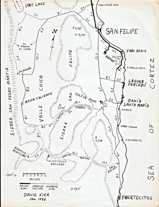
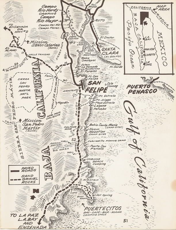
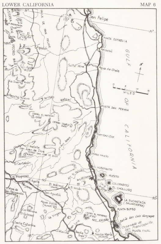
Originally posted by David K
Oh, yes, nearly all published maps have mistakes... sometimes intentionally.
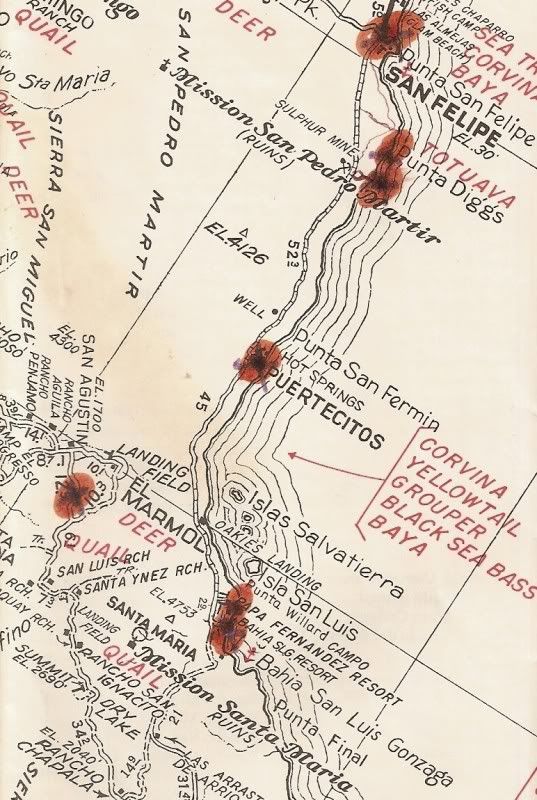
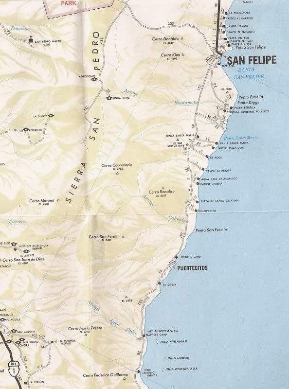
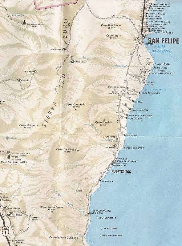
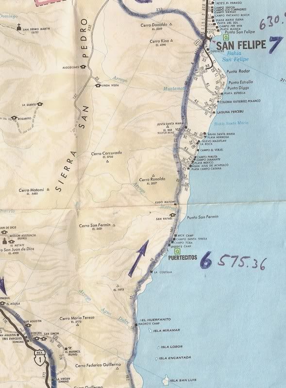
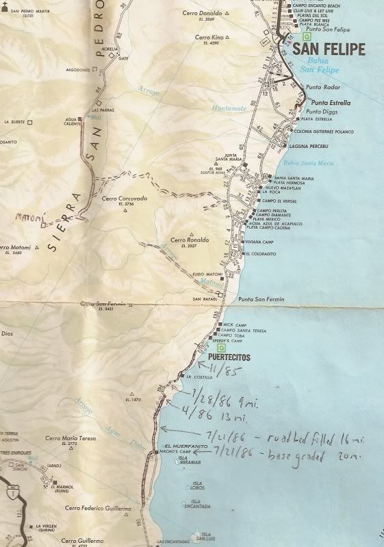
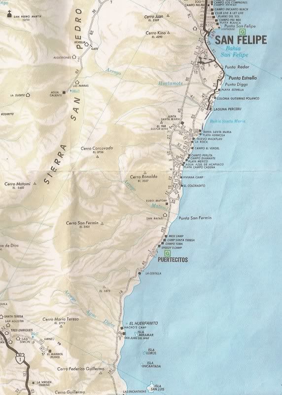
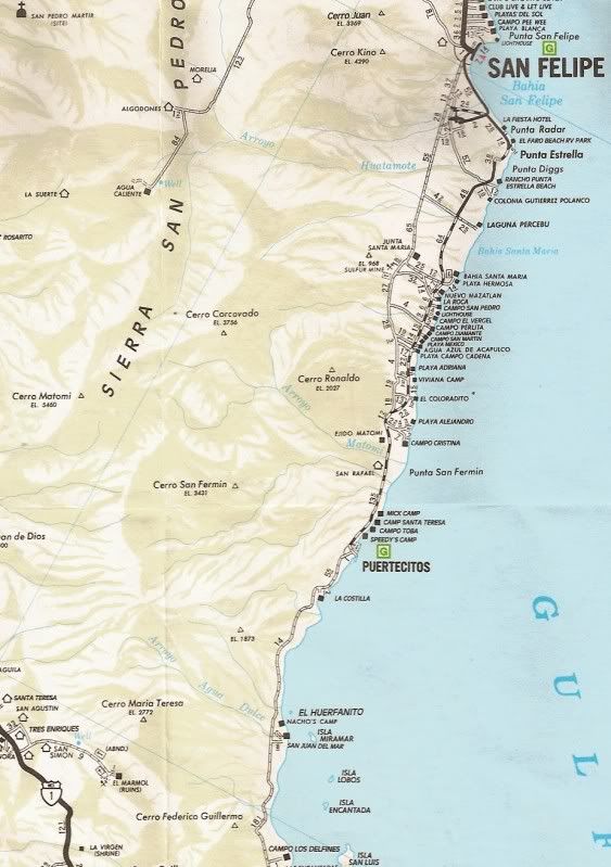
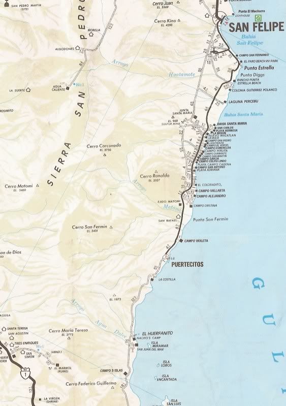
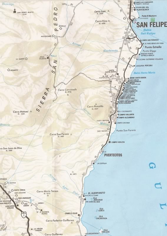
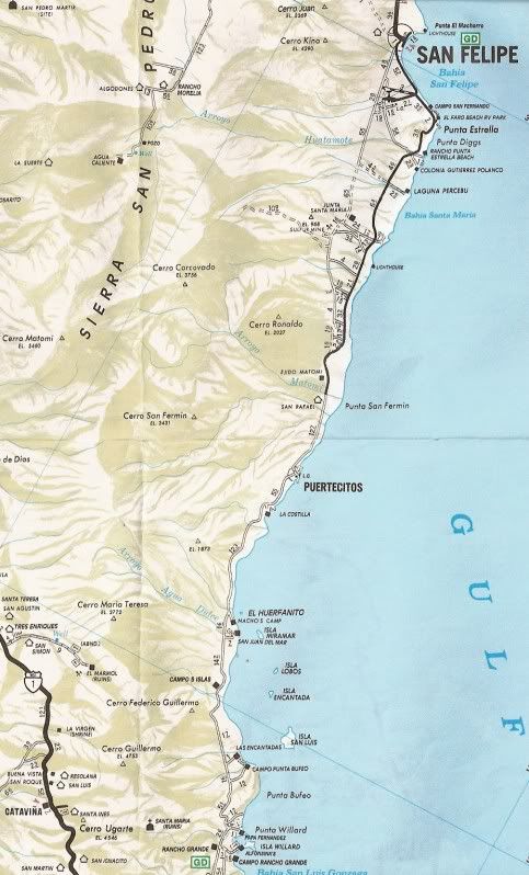
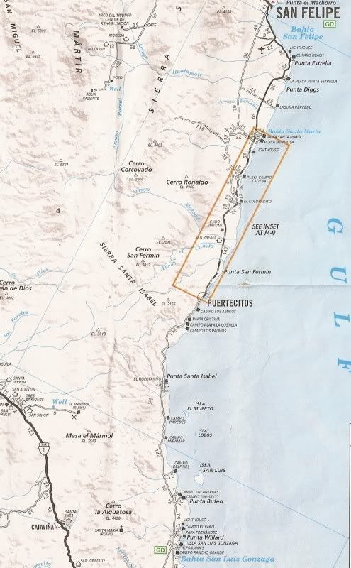
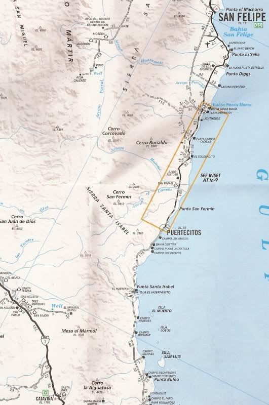
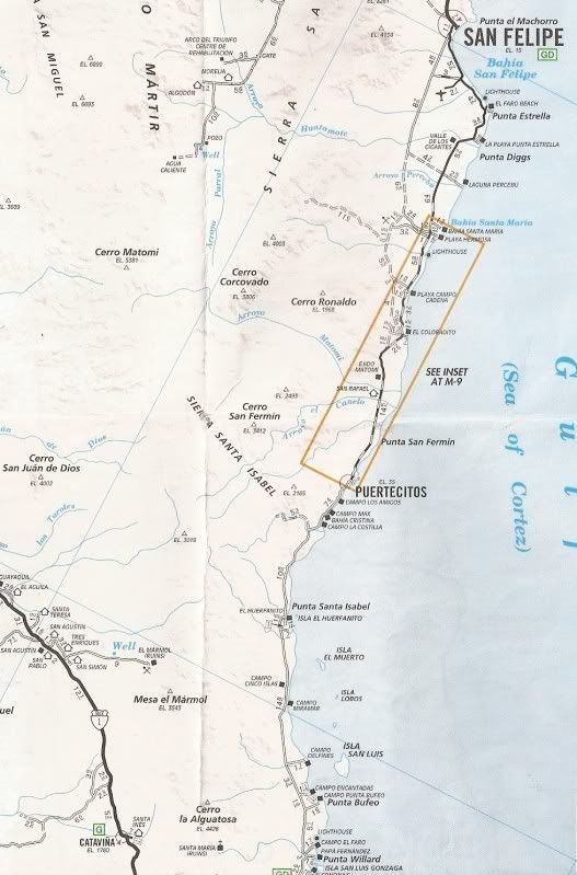
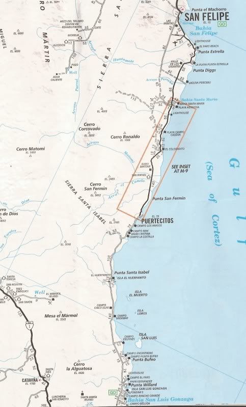
I could point out many errors on the auto club maps, but I mainly posted them here for mcfez... on the years pavement reached Puertecitos (on my Auto
Club maps)... 1996 the first time and again in 2007 after the original pavement vanished and it was re-done.
[Edited on 10-26-2010 by David K] |