
gpm414 - 10-28-2010 at 07:55 PM
I can't find a Google Earth map of this years Baja 1000 course. Score has gps downloads, but no Google Earth overlay. Anyone know of a link or
location that has it?
Trying to find out if check point 10 is in the same location as 2006 about 15 miles west of La Paz. Watched the race from there and would like to do
it again, but need to know the exact location of check point 10. Thanks for any help.
David K - 10-28-2010 at 08:37 PM
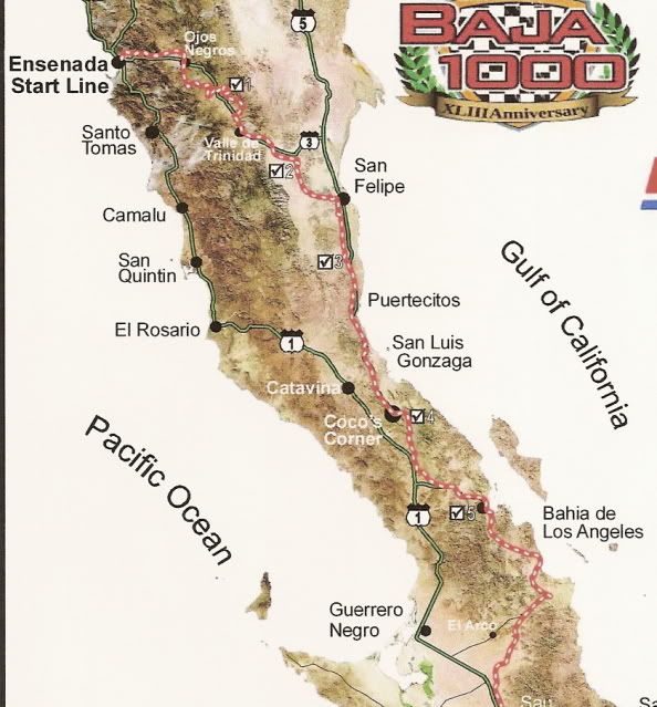
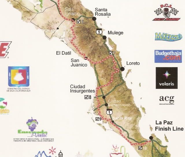
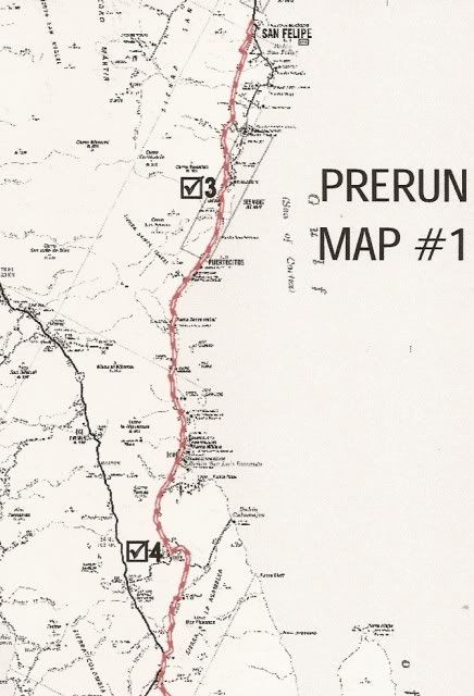
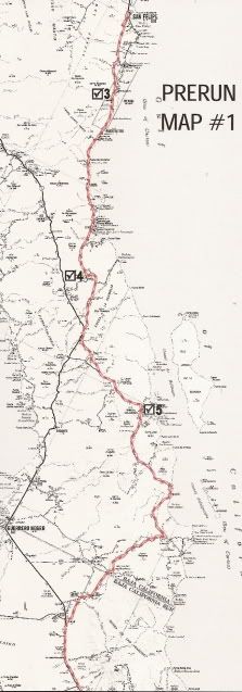
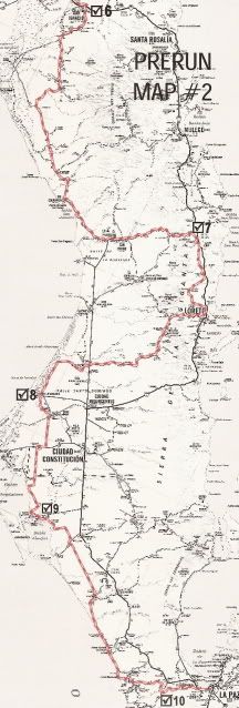
I posted the SCORE maps in TW's thread on this year's 1000 entry list...
David K - 10-28-2010 at 08:39 PM
Close up of the south end...
David K - 10-28-2010 at 08:48 PM
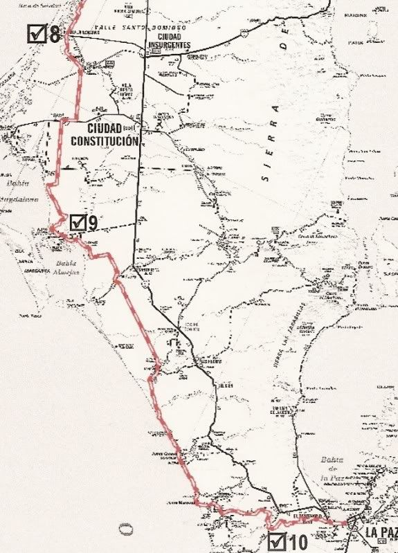
Check Point 10
KasloKid - 10-28-2010 at 11:42 PM
By loading the score gpx track into mapsource, check point 10 shows at N24 degrees 02.004 minutes, W110 degrees 32.789 minutes. I was also able to
load this track into google earth to view. I tried to load an image from mapsource as well as a .gdb track from Loreto to La Paz, but don't know if I
was successful.
gpm414 - 10-29-2010 at 07:10 AM
Thanks, that should do it.