Originally posted by SFLowTide
| Quote: | Originally posted by BajaWarrior
| Quote: | Originally posted by mcfez
Thanks for that extra input DavidK.
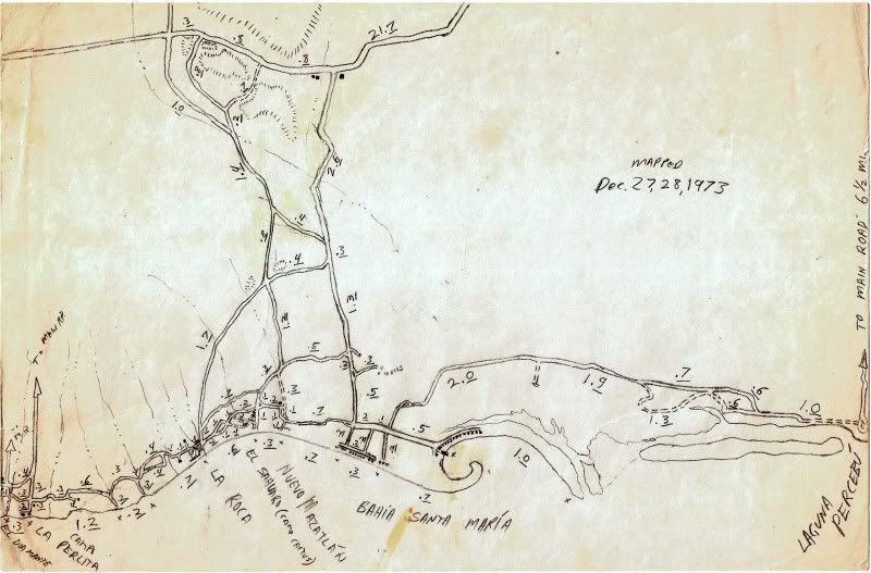
Bahia Santa Maria is the camp with the large trees ....house at the entrance on the leftside?
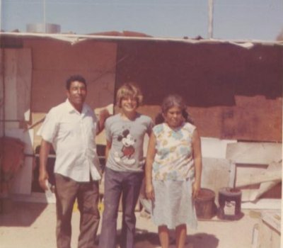
You were a cute kid back then...what happened ? |
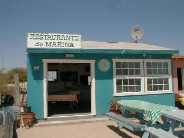
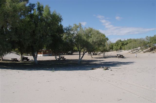
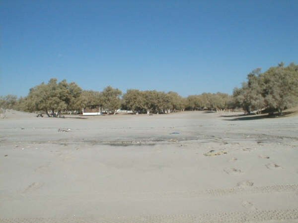
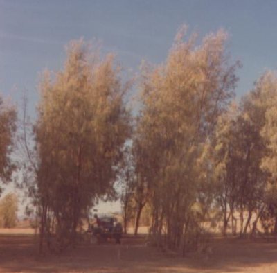
The campo with the trees IS Campo Nuevo Mazatlan and Bahia Santa Maria is the campo on the small Bahia about a mile to the north.
|
There is one large Salt Pine on the beach at La Mision (km31). It is between my house and my neighbour to the south. You have to remember there are
many camps between Bahia Santa Maria and Nuevo Mazatlan. It wasn't long ago that it went: 1. Percebu, 2. Bahia Santa Maria/Playa Hermosa, 3. La
Roca/Nuevo Mazatlan, 4. Coloradito and then Puertecitos and that was it. This was even after the newer, closer to the beach route, was built. Its
hard to believe that this is going to be a main thoroughfare from Mex. 1 to Mex. 5. Que lástima... |


 The book was on a TV show in San Diego and I was written
about in the local paper... I sold every one I made... and finally stopped making them well into 1974, long after the highway was finished (I added
update notes to it)... Sold at two bookstores in Escondido.
The book was on a TV show in San Diego and I was written
about in the local paper... I sold every one I made... and finally stopped making them well into 1974, long after the highway was finished (I added
update notes to it)... Sold at two bookstores in Escondido.