Originally posted by DavidE
One street south of the calle principal, then one half block east on the left side. Wood. Had a huge veranda. Wooden sidewalks. I bet I slept three
hours and woke up, grabbed the candle and went back to the shower. Owner had turned off the water. Fumbling around, found valve. Candle blew out.
Inched by braille to the regadera soaked in the shower, tried to find the valve again but could not. In the morning, a leak had drained the concrete
tank. The owner was not pleased. In the morning, there was nothing that looked like today's bolillo in the panaderia. I learned about sweet Mexican
bread and the worst powder (not powdered but powDER instant coffee) the water tasted like radiator drainings, the coffee worse, and the ice plant used
ammonia so the ice was uneatable. Back to Coca Cola. I was covered in insect bites, and at the time I did not know it but I was then doomed to spend
the next three days with Moctezuma's revenge. Ever unflap a pup tent fly (mosquitoes) and make a run for the brush ten times a night? Mangrove's ain't
cool to do stuff in. There seemed to be a lot more mangroves then. We stayed on Playa Los Cocos not Santispac. They were boiling water to purify it
for me to drink. Saltine crackers. Lomotil? Jajajajajaja! Try te de perro. Gallons of it. The sugar in the coke saved me I think. The day I left the
hotel I wandered down to the beach and that's when I got sunburned and did not get a stinking bite never mind a fish. Our insect repellent was
citronella and my sleeping bag (unzipped as a mattress) was kapok. Jim brought 2 jeep containers of white gas. I sacrificed my precious chamois
because everyone agreed that since I had sold my '53 Ford to come on the trip I did not need a chamois. So it was used as a pre-fuel-filter.
Rosa declared I looked like death-warmed-over so they conjured up a pot of caldo de siete mares. I had eaten so much abalone and lobster over on the
Pacific side that the clams and crab and fish (I think it was cabrilla) tasted great. They wanted to go into Mulege and see the prisoners go to their
jobs in town and I stayed behind. I spent the day in the water with a sheet wrapped around me to protect from the sun. The next day the group went
back to town and touring the prison I met a fellow through the bars in his cell that was not allowed to leave. He was convicted of rape. He told me he
made the mistake of getting frisky with the alcalde's daughter in Empalme, and he was sentenced to i forget how many years in el reclusorio. He sold
me a nice abalone shell all gussied up for ten cents.
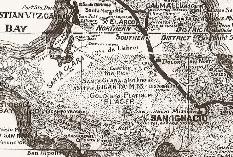
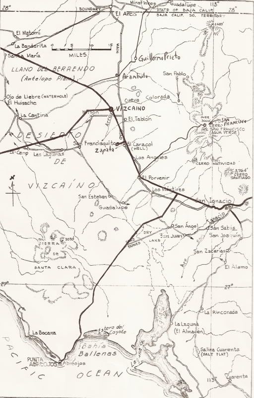
I had seven or eight reels of 8mm movies of that trip including three just of the barrows on Malarrimo beach. The treasure trove. Tony's treasured
purple Japanese glass float, the box of morphine ampules, the ten foot (?) diameter redwood tree all shorn of bark and turning gray. Hundreds of left
foot only pink flip-flops. Someone had found the burgee of the submarine Wahoo there I found out later. It had floated all the way across the Pacific.
Every day was none to twenty adventures depending. It was a pain having to have Rosa translate everything. She grew tired of being the interpreter all
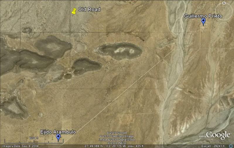
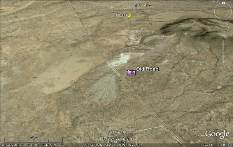
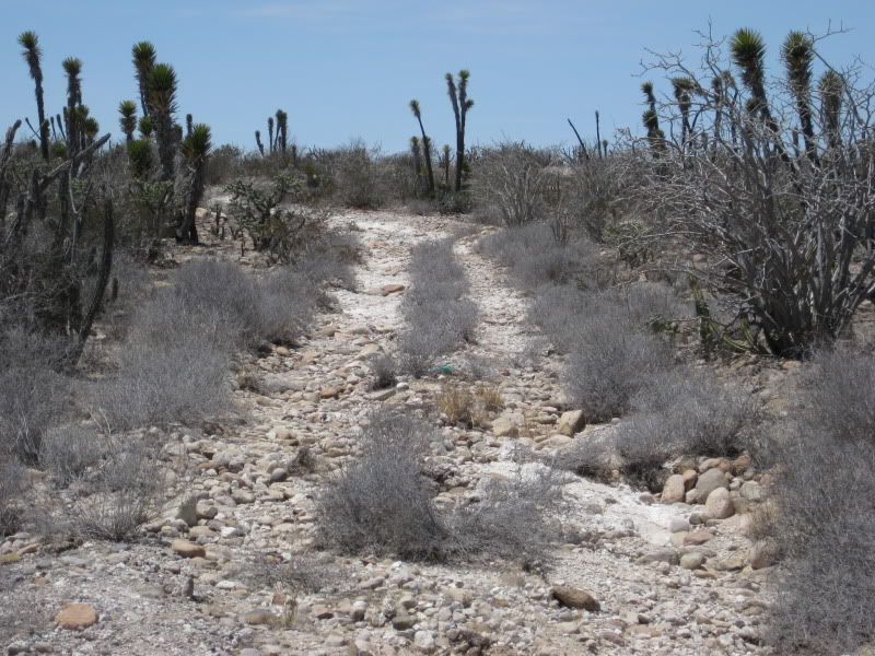
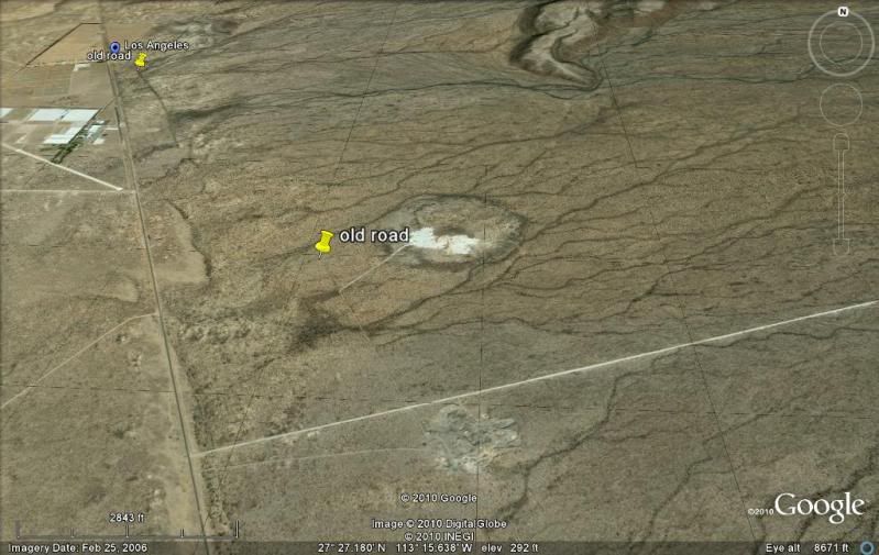
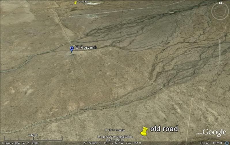
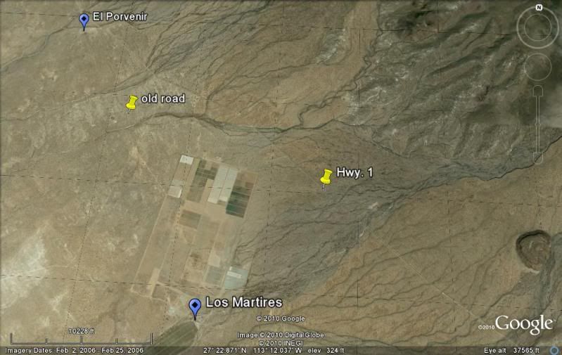
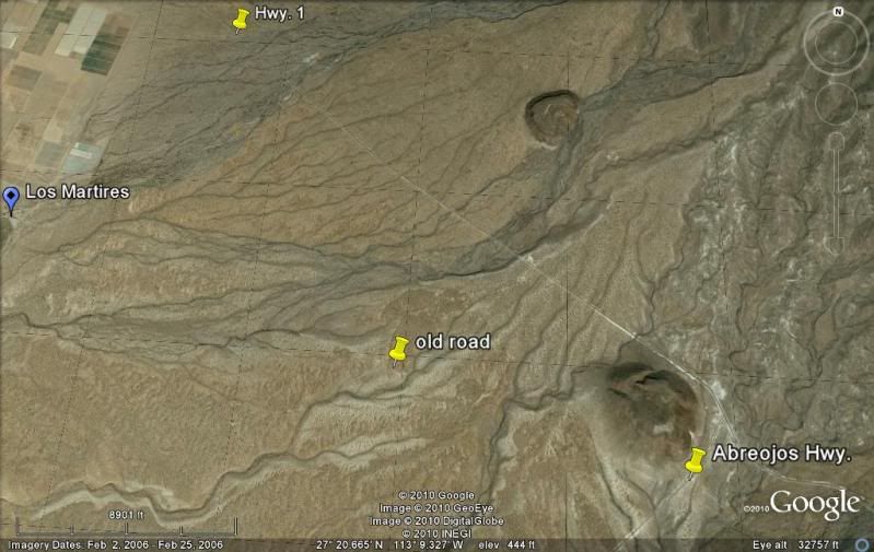
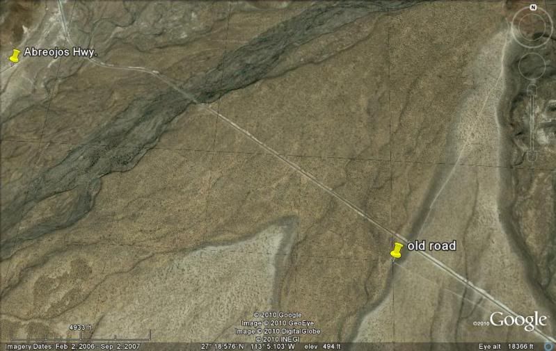
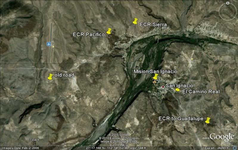
the time. Rancho Chapala, Los Arcos, the Castro Ranch, the Arces and Arce Arces of Mulege. When we rolled back into the driveway my clothes were
shredded, fishing rod broken by something in the jeep, reel clogged forever by the dust of Laguna Chapala, and a head totally intoxicated with Mexico.
|