Originally posted by Marc
| Quote: | Originally posted by mcfez
They ever get that main road finished up (in town)? Just as you come in. |
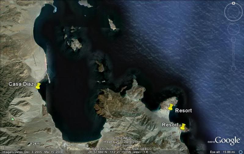
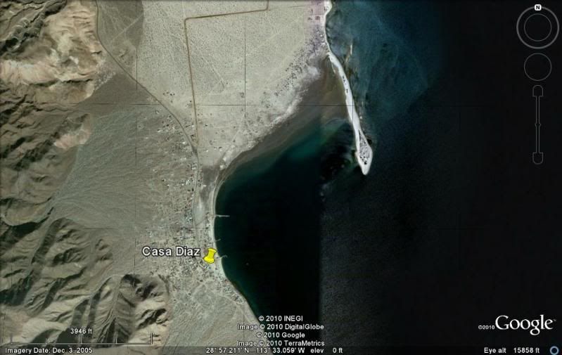
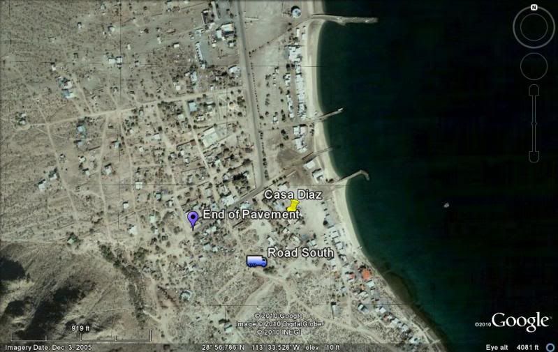
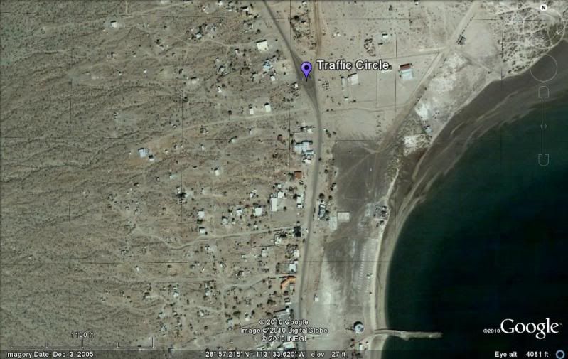
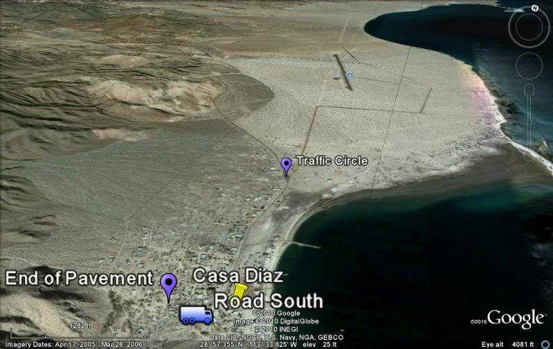
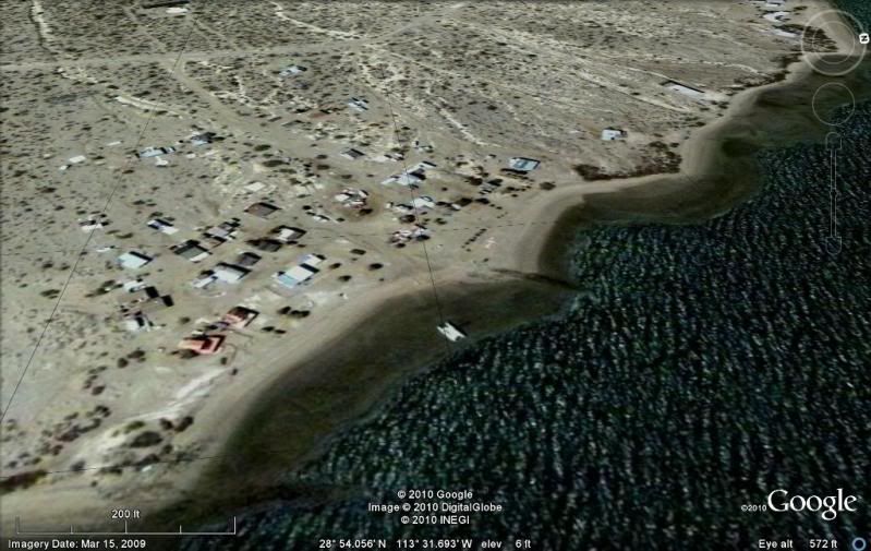
Yes. As you enter there's a roundabout with a monument resembling a sail. Nearby are TWO gas stations. A center island down the main is planted, and
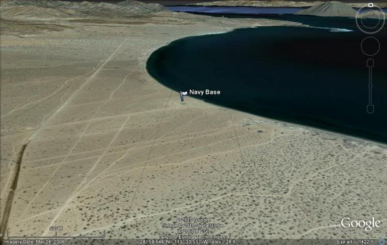
curbs and a sidewalk here and there. the road north past Daggett's as far as the military base is now paved.
A few years back when I saw the power lines going up I figured that was the end of it for me. But it's still a sleepy village and I still go back.
|