Originally posted by Jack Swords
Keeping this going...
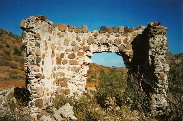
David, you have a photo of the ruins of La Pasion from the CD I sent you. Go ahead and post it as it's interesting what a herd of goats can do to
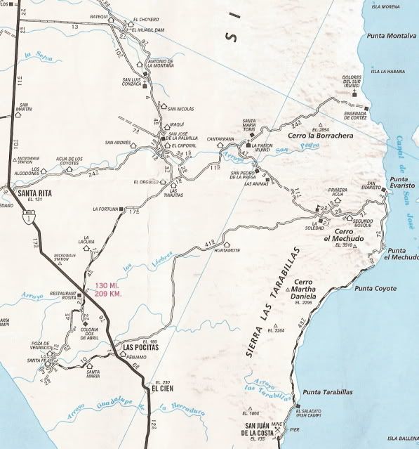
ruins. We're headed up there again in a couple of weeks, I'll hit some other sites too. Going up to San Everisto, then wandering around a few days,
then back to Las Pocitas and then La Paz. Things are pretty dry this year. Then up from San Blas to the mountaintop estancia of Mission La Paz.
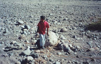
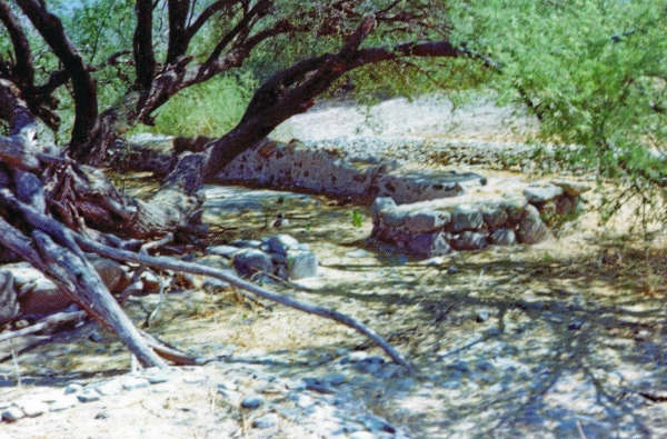
Fewer leaves means we can see more normally covered with brush. |